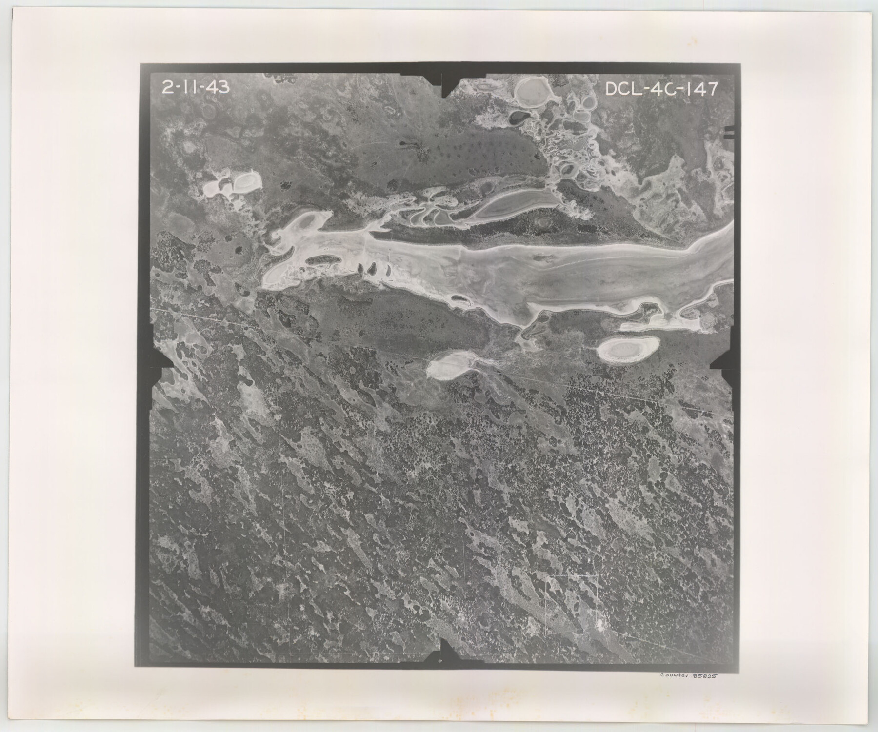
Flight Mission No. DCL-4C, Frame 147, Kenedy County
DCL-4C-147
-
Map/Doc
85825
-
Collection
General Map Collection
-
Object Dates
1943/2/11 (Creation Date)
-
People and Organizations
U. S. Department of Agriculture (Publisher)
-
Counties
Kenedy
-
Subjects
Aerial Photograph
-
Height x Width
18.6 x 22.3 inches
47.2 x 56.6 cm
-
Comments
Flown by Aerial Surveys of Pittsburgh, Inc. of Pittsburgh, Pennsylvania.
Part of: General Map Collection
Flight Mission No. CUG-3P, Frame 14, Kleberg County

Print $20.00
- Digital $50.00
Flight Mission No. CUG-3P, Frame 14, Kleberg County
1956
Size 18.7 x 22.3 inches
Map/Doc 86224
Flight Mission No. BRE-1P, Frame 28, Nueces County

Print $20.00
- Digital $50.00
Flight Mission No. BRE-1P, Frame 28, Nueces County
1956
Size 16.6 x 16.1 inches
Map/Doc 86624
Edwards County Sketch File 31

Print $6.00
- Digital $50.00
Edwards County Sketch File 31
1926
Size 14.5 x 8.8 inches
Map/Doc 21762
Flight Mission No. DIX-8P, Frame 61, Aransas County

Print $20.00
- Digital $50.00
Flight Mission No. DIX-8P, Frame 61, Aransas County
1956
Size 18.8 x 22.6 inches
Map/Doc 83892
Bastrop County Sketch File 8

Print $4.00
- Digital $50.00
Bastrop County Sketch File 8
Size 8.5 x 11.5 inches
Map/Doc 14054
Coleman County Boundary File 17 (3)

Print $36.00
- Digital $50.00
Coleman County Boundary File 17 (3)
Size 22.0 x 5.9 inches
Map/Doc 51654
Travis County Appraisal District Plat Map 2_1004

Print $20.00
- Digital $50.00
Travis County Appraisal District Plat Map 2_1004
Size 21.4 x 26.5 inches
Map/Doc 94238
Castro County Working Sketch 9

Print $20.00
- Digital $50.00
Castro County Working Sketch 9
1965
Size 47.1 x 42.7 inches
Map/Doc 68646
Williamson County Working Sketch 7

Print $20.00
- Digital $50.00
Williamson County Working Sketch 7
1949
Size 30.2 x 37.3 inches
Map/Doc 72567
Map of Anderson County

Print $20.00
- Digital $50.00
Map of Anderson County
1895
Size 40.9 x 45.4 inches
Map/Doc 4784
Young County Boundary File 2

Print $6.00
- Digital $50.00
Young County Boundary File 2
Size 14.2 x 8.7 inches
Map/Doc 60202

You may also like
Rusk County Rolled Sketch 6

Print $20.00
- Digital $50.00
Rusk County Rolled Sketch 6
1949
Size 33.7 x 26.6 inches
Map/Doc 7543
Red River County Working Sketch 28

Print $20.00
- Digital $50.00
Red River County Working Sketch 28
1961
Size 28.1 x 38.7 inches
Map/Doc 72011
Map of J. J. Lane and A. D. Jones and Four Lakes Ranch

Print $20.00
- Digital $50.00
Map of J. J. Lane and A. D. Jones and Four Lakes Ranch
Size 28.7 x 28.8 inches
Map/Doc 92398
Bowie County Sketch File 7

Print $40.00
- Digital $50.00
Bowie County Sketch File 7
1927
Size 18.0 x 35.5 inches
Map/Doc 10943
Central America II. Including Texas, California and the Northern States of Mexico

Print $20.00
- Digital $50.00
Central America II. Including Texas, California and the Northern States of Mexico
1842
Size 14.1 x 16.7 inches
Map/Doc 93927
Edwards County Rolled Sketch 34

Print $20.00
- Digital $50.00
Edwards County Rolled Sketch 34
1994
Size 18.0 x 33.5 inches
Map/Doc 5816
Swisher County Working Sketch 2

Print $20.00
- Digital $50.00
Swisher County Working Sketch 2
1950
Size 21.5 x 21.7 inches
Map/Doc 62413
Hays County Sketch File 36

Print $4.00
- Digital $50.00
Hays County Sketch File 36
Size 11.0 x 8.5 inches
Map/Doc 96639
Upton County Sketch File 32

Print $20.00
- Digital $50.00
Upton County Sketch File 32
1938
Size 14.9 x 24.0 inches
Map/Doc 12523
Flight Mission No. CRC-4R, Frame 96, Chambers County

Print $20.00
- Digital $50.00
Flight Mission No. CRC-4R, Frame 96, Chambers County
1956
Size 18.4 x 22.2 inches
Map/Doc 84893
Runnels County Rolled Sketch 34

Print $20.00
- Digital $50.00
Runnels County Rolled Sketch 34
Size 30.1 x 35.1 inches
Map/Doc 7522
[Sketch showing Block 42, Sections 221 and 222 and Block H, Sections 7 and 9]
![91714, [Sketch showing Block 42, Sections 221 and 222 and Block H, Sections 7 and 9], Twichell Survey Records](https://historictexasmaps.com/wmedia_w700/maps/91714-1.tif.jpg)
Print $2.00
- Digital $50.00
[Sketch showing Block 42, Sections 221 and 222 and Block H, Sections 7 and 9]
1919
Size 5.6 x 5.0 inches
Map/Doc 91714