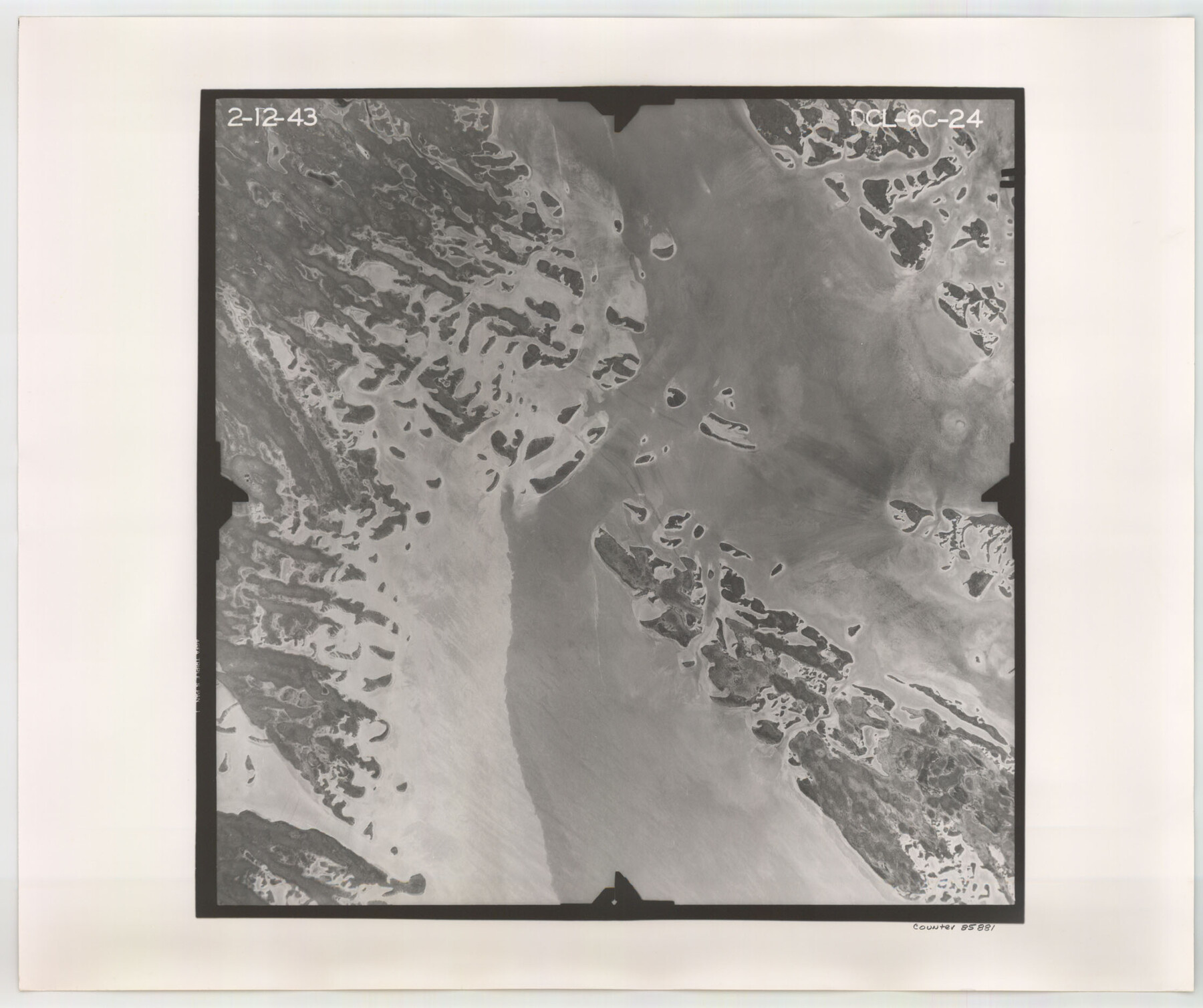
Flight Mission No. DCL-6C, Frame 24, Kenedy County
DCL-6C-24
-
Map/Doc
85881
-
Collection
General Map Collection
-
Object Dates
1943/2/12 (Creation Date)
-
People and Organizations
U. S. Department of Agriculture (Publisher)
-
Counties
Kenedy
-
Subjects
Aerial Photograph
-
Height x Width
18.8 x 22.4 inches
47.8 x 56.9 cm
-
Comments
Flown by Aerial Surveys of Pittsburgh, Inc. of Pittsburgh, Pennsylvania.
Part of: General Map Collection
Zapata County Sketch File 20

Print $633.00
- Digital $50.00
Zapata County Sketch File 20
1998
Size 11.5 x 8.9 inches
Map/Doc 40966
Cameron County Rolled Sketch 20A

Print $20.00
- Digital $50.00
Cameron County Rolled Sketch 20A
Size 12.5 x 23.1 inches
Map/Doc 5471
Nueces County Sketch File 41

Print $8.00
- Digital $50.00
Nueces County Sketch File 41
Size 11.1 x 8.6 inches
Map/Doc 32629
Flight Mission No. CUG-2P, Frame 28, Kleberg County

Print $20.00
- Digital $50.00
Flight Mission No. CUG-2P, Frame 28, Kleberg County
1956
Size 18.5 x 22.2 inches
Map/Doc 86193

San Jacinto County Rolled Sketch 12

Print $20.00
- Digital $50.00
San Jacinto County Rolled Sketch 12
1948
Size 24.2 x 32.5 inches
Map/Doc 7561
H No. 2 - Preliminary Sketch of Mobile Bay

Print $20.00
- Digital $50.00
H No. 2 - Preliminary Sketch of Mobile Bay
1852
Size 19.4 x 15.2 inches
Map/Doc 97223
Flight Mission No. CLL-3N, Frame 32, Willacy County

Print $20.00
- Digital $50.00
Flight Mission No. CLL-3N, Frame 32, Willacy County
1954
Size 18.4 x 22.1 inches
Map/Doc 87088
Zapata County Sketch File 12a

Print $42.00
- Digital $50.00
Zapata County Sketch File 12a
1921
Size 11.2 x 8.7 inches
Map/Doc 40949
Menard County Boundary File 2b

Print $6.00
- Digital $50.00
Menard County Boundary File 2b
Size 13.3 x 8.2 inches
Map/Doc 57069
Navigation Maps of Gulf Intracoastal Waterway, Port Arthur to Brownsville, Texas

Print $4.00
- Digital $50.00
Navigation Maps of Gulf Intracoastal Waterway, Port Arthur to Brownsville, Texas
1951
Size 16.7 x 21.5 inches
Map/Doc 65421
Throckmorton County Rolled Sketch 2

Print $20.00
- Digital $50.00
Throckmorton County Rolled Sketch 2
Size 28.9 x 36.3 inches
Map/Doc 7985
You may also like
Atascosa County Rolled Sketch 5B2

Print $20.00
- Digital $50.00
Atascosa County Rolled Sketch 5B2
1910
Size 16.4 x 12.5 inches
Map/Doc 5091
Kerr County Boundary File 6

Print $8.00
- Digital $50.00
Kerr County Boundary File 6
Size 14.2 x 8.7 inches
Map/Doc 64822
Shipping Safety Fairways and Anchorage Areas, Gulf of Mexico - Brazos Santiago Pass to Calcasieu Pass

Print $20.00
- Digital $50.00
Shipping Safety Fairways and Anchorage Areas, Gulf of Mexico - Brazos Santiago Pass to Calcasieu Pass
1968
Size 30.3 x 42.1 inches
Map/Doc 73632
Webb County Sketch File 52

Print $40.00
- Digital $50.00
Webb County Sketch File 52
1939
Size 14.2 x 16.7 inches
Map/Doc 39839
Sabine County

Print $20.00
- Digital $50.00
Sabine County
1920
Size 43.9 x 34.6 inches
Map/Doc 63014
Brazoria County Working Sketch 35

Print $40.00
- Digital $50.00
Brazoria County Working Sketch 35
1981
Size 43.5 x 66.2 inches
Map/Doc 67520
Lubbock County Boundary File 4

Print $4.00
- Digital $50.00
Lubbock County Boundary File 4
Size 11.2 x 8.8 inches
Map/Doc 56491
Freestone County Sketch File 10

Print $40.00
- Digital $50.00
Freestone County Sketch File 10
Size 13.0 x 13.5 inches
Map/Doc 23058
Denton County Sketch File 33a

Print $4.00
- Digital $50.00
Denton County Sketch File 33a
Size 8.0 x 13.1 inches
Map/Doc 20762
Sketch showing the route of the military road from Red River to Austin

Print $20.00
- Digital $50.00
Sketch showing the route of the military road from Red River to Austin
1840
Size 33.2 x 13.1 inches
Map/Doc 1752

Crockett County Sketch File D

Print $40.00
- Digital $50.00
Crockett County Sketch File D
1903
Size 24.6 x 48.0 inches
Map/Doc 10347