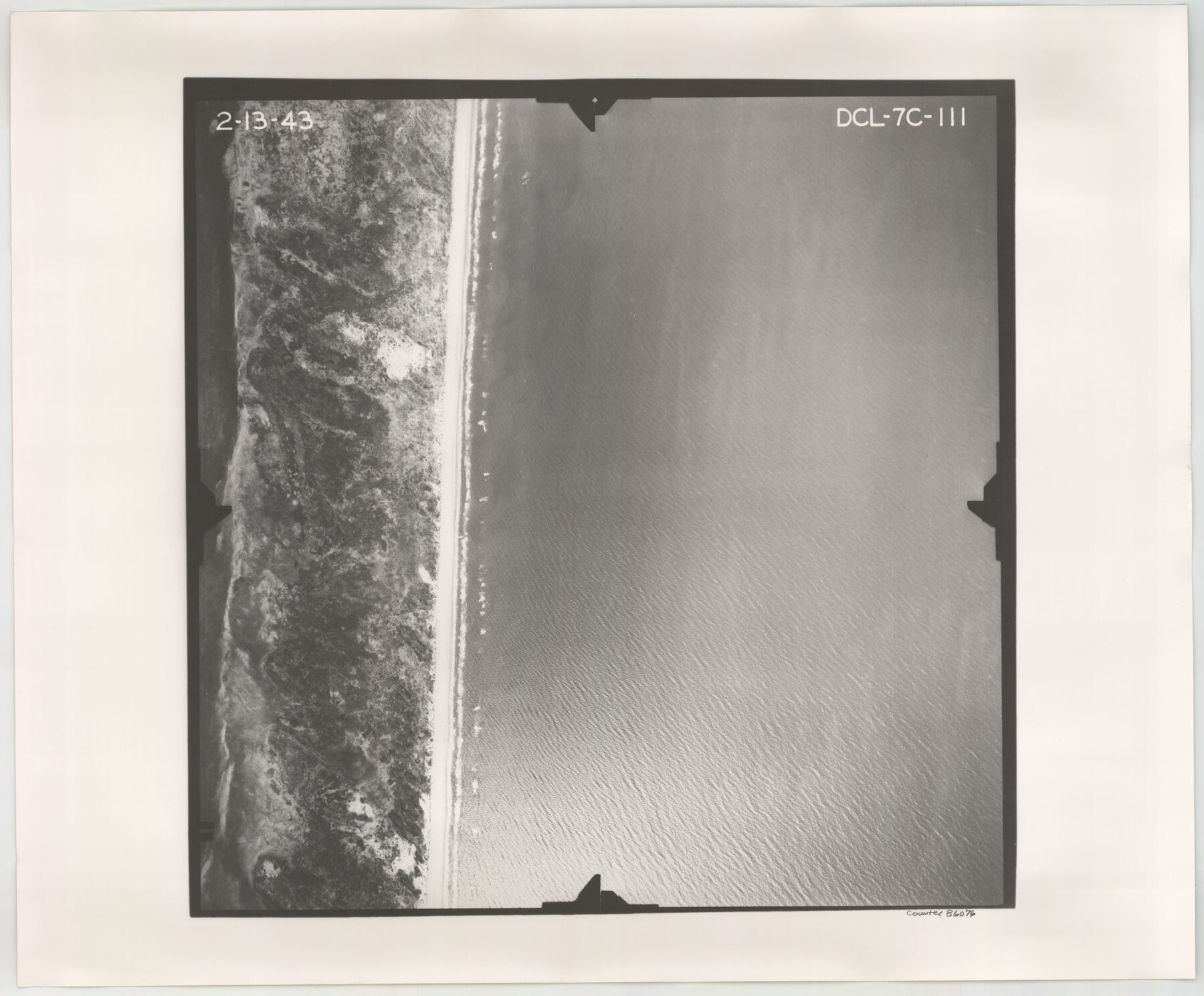
Flight Mission No. DCL-7C, Frame 111, Kenedy County
DCL-7C-111
-
Map/Doc
86076
-
Collection
General Map Collection
-
Object Dates
1943/2/13 (Creation Date)
-
People and Organizations
U. S. Department of Agriculture (Publisher)
-
Counties
Kenedy
-
Subjects
Aerial Photograph
-
Height x Width
18.5 x 22.3 inches
47.0 x 56.6 cm
-
Comments
Flown by Aerial Surveys of Pittsburgh, Inc. of Pittsburgh, Pennsylvania.
Part of: General Map Collection
Lynn County Sketch File 21

Print $52.00
- Digital $50.00
Lynn County Sketch File 21
1913
Size 5.7 x 8.6 inches
Map/Doc 30528
Anderson County Sketch File 2

Print $4.00
- Digital $50.00
Anderson County Sketch File 2
1847
Size 12.6 x 8.2 inches
Map/Doc 12739
Denton County Sketch File 2

Print $3.00
- Digital $50.00
Denton County Sketch File 2
1855
Size 15.4 x 9.8 inches
Map/Doc 20687
Brazos River, Brazos River Sheet 2

Print $20.00
- Digital $50.00
Brazos River, Brazos River Sheet 2
1926
Size 25.2 x 31.0 inches
Map/Doc 78265
Map of Georgia, Florida, Alabama, Mississippi and Tennessee engraved to illustrate Mitchell's new intermediate geography

Print $20.00
- Digital $50.00
Map of Georgia, Florida, Alabama, Mississippi and Tennessee engraved to illustrate Mitchell's new intermediate geography
1885
Size 12.2 x 9.0 inches
Map/Doc 93518
Hemphill County Working Sketch 26

Print $40.00
- Digital $50.00
Hemphill County Working Sketch 26
1974
Size 57.2 x 48.3 inches
Map/Doc 66121
Railroad Track Map, H&TCRRCo., Falls County, Texas

Print $4.00
- Digital $50.00
Railroad Track Map, H&TCRRCo., Falls County, Texas
1918
Size 11.6 x 18.6 inches
Map/Doc 62852
Fractional Township No. 9 South Range No. 23 East of the Indian Meridian, Indian Territory

Print $20.00
- Digital $50.00
Fractional Township No. 9 South Range No. 23 East of the Indian Meridian, Indian Territory
1898
Size 19.2 x 24.4 inches
Map/Doc 75240
Flight Mission No. DIX-7P, Frame 88, Aransas County

Print $20.00
- Digital $50.00
Flight Mission No. DIX-7P, Frame 88, Aransas County
1956
Size 18.7 x 22.3 inches
Map/Doc 83882
Motley County Boundary File 2e

Print $40.00
- Digital $50.00
Motley County Boundary File 2e
Size 29.4 x 96.1 inches
Map/Doc 57561
Coke County Sketch File AB

Print $12.00
- Digital $50.00
Coke County Sketch File AB
1884
Size 14.1 x 8.7 inches
Map/Doc 18608
Victoria County Sketch File 2

Print $7.00
- Digital $50.00
Victoria County Sketch File 2
1873
Size 10.3 x 8.4 inches
Map/Doc 39511
You may also like
Menard County Working Sketch 29

Print $20.00
- Digital $50.00
Menard County Working Sketch 29
1967
Size 25.8 x 32.0 inches
Map/Doc 70976
Southern Part of Laguna Madre

Print $20.00
- Digital $50.00
Southern Part of Laguna Madre
1946
Size 43.8 x 34.5 inches
Map/Doc 73534
Kaufman County Sketch File 15

Print $26.00
- Digital $50.00
Kaufman County Sketch File 15
Size 8.5 x 8.2 inches
Map/Doc 28651
El Paso County Rolled Sketch 66

Print $20.00
- Digital $50.00
El Paso County Rolled Sketch 66
2014
Size 35.1 x 41.2 inches
Map/Doc 93712
Blanco County Working Sketch 13

Print $20.00
- Digital $50.00
Blanco County Working Sketch 13
1948
Size 42.6 x 33.6 inches
Map/Doc 67373
Edwards County Working Sketch 59

Print $20.00
- Digital $50.00
Edwards County Working Sketch 59
1954
Size 22.7 x 22.4 inches
Map/Doc 68935
Floyd County Rolled Sketch 10

Print $20.00
- Digital $50.00
Floyd County Rolled Sketch 10
1953
Size 37.8 x 25.0 inches
Map/Doc 5883
Haskell County Working Sketch 7

Print $40.00
- Digital $50.00
Haskell County Working Sketch 7
1956
Size 52.1 x 39.0 inches
Map/Doc 66065
Flight Mission No. BQR-12K, Frame 49, Brazoria County

Print $20.00
- Digital $50.00
Flight Mission No. BQR-12K, Frame 49, Brazoria County
1952
Size 18.9 x 22.6 inches
Map/Doc 84064
Crockett County Rolled Sketch 59

Print $20.00
- Digital $50.00
Crockett County Rolled Sketch 59
1946
Size 30.1 x 20.9 inches
Map/Doc 5602
Presidio County Rolled Sketch MS

Print $20.00
- Digital $50.00
Presidio County Rolled Sketch MS
Size 35.9 x 19.0 inches
Map/Doc 7412
Flight Mission No. BRE-1P, Frame 107, Nueces County

Print $20.00
- Digital $50.00
Flight Mission No. BRE-1P, Frame 107, Nueces County
1956
Size 18.5 x 22.6 inches
Map/Doc 86678