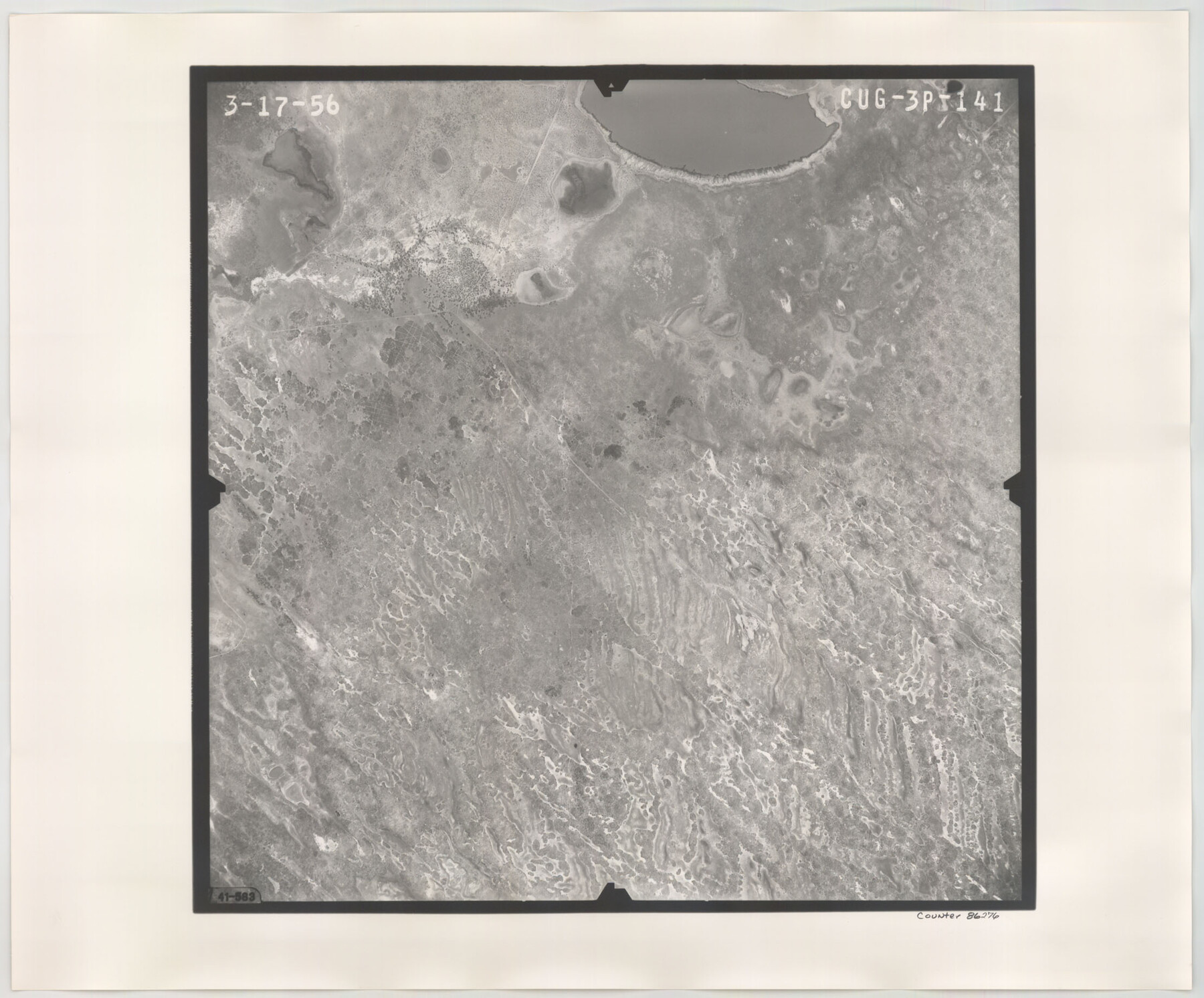
Flight Mission No. CUG-3P, Frame 141, Kleberg County
CUG-3P-141
-
Map/Doc
86276
-
Collection
General Map Collection
-
Object Dates
1956/3/17 (Creation Date)
-
People and Organizations
U. S. Department of Agriculture (Publisher)
-
Counties
Kleberg
-
Subjects
Aerial Photograph
-
Height x Width
18.4 x 22.2 inches
46.7 x 56.4 cm
-
Comments
Flown by V. L. Beavers and Associates of San Antonio, Texas.
Part of: General Map Collection
Medina County Rolled Sketch 22

Print $20.00
- Digital $50.00
Medina County Rolled Sketch 22
2007
Size 24.5 x 18.4 inches
Map/Doc 88849
Houston County Working Sketch 1

Print $20.00
- Digital $50.00
Houston County Working Sketch 1
Size 20.6 x 15.6 inches
Map/Doc 66231
Taylor County

Print $20.00
- Digital $50.00
Taylor County
1934
Size 42.0 x 36.6 inches
Map/Doc 77432
Burnet County Working Sketch 5

Print $20.00
- Digital $50.00
Burnet County Working Sketch 5
1956
Size 30.0 x 19.3 inches
Map/Doc 67848
Calhoun County Sketch File 5

Print $2.00
- Digital $50.00
Calhoun County Sketch File 5
Size 11.4 x 8.9 inches
Map/Doc 35907
Brazoria County Rolled Sketch 31

Print $20.00
- Digital $50.00
Brazoria County Rolled Sketch 31
Size 25.6 x 45.9 inches
Map/Doc 5169
Willacy County Sketch File 1

Print $30.00
- Digital $50.00
Willacy County Sketch File 1
1981
Size 11.2 x 8.6 inches
Map/Doc 40234
Panola County Sketch File 4

Print $4.00
- Digital $50.00
Panola County Sketch File 4
1860
Size 8.9 x 8.9 inches
Map/Doc 33449
Harris County Working Sketch 85

Print $20.00
- Digital $50.00
Harris County Working Sketch 85
1971
Size 41.5 x 44.0 inches
Map/Doc 65977
Outer Continental Shelf Leasing Maps (Louisiana Offshore Operations)

Print $20.00
- Digital $50.00
Outer Continental Shelf Leasing Maps (Louisiana Offshore Operations)
1954
Size 11.3 x 12.4 inches
Map/Doc 76117
Crane County Working Sketch 32

Print $20.00
- Digital $50.00
Crane County Working Sketch 32
1984
Size 37.6 x 43.1 inches
Map/Doc 68309
Current Miscellaneous File 4

Print $8.00
- Digital $50.00
Current Miscellaneous File 4
1947
Size 11.5 x 9.1 inches
Map/Doc 73723
You may also like
English Field Notes of the Spanish Archives - Books TJG, DB, A, A2, B, B2, WB, and WR

English Field Notes of the Spanish Archives - Books TJG, DB, A, A2, B, B2, WB, and WR
1835
Map/Doc 96553

El Paso County Rolled Sketch 40

Print $20.00
- Digital $50.00
El Paso County Rolled Sketch 40
1929
Size 43.6 x 25.2 inches
Map/Doc 5827
Dallam County Rolled Sketch 8

Print $20.00
- Digital $50.00
Dallam County Rolled Sketch 8
1949
Size 37.7 x 26.3 inches
Map/Doc 5686
Childress County

Print $20.00
- Digital $50.00
Childress County
1883
Size 20.6 x 17.4 inches
Map/Doc 3393
Bandera County Working Sketch 28

Print $20.00
- Digital $50.00
Bandera County Working Sketch 28
1953
Size 24.8 x 19.5 inches
Map/Doc 67624
Upton County Rolled Sketch 31

Print $40.00
- Digital $50.00
Upton County Rolled Sketch 31
Size 27.2 x 53.4 inches
Map/Doc 10048
Bandera County Working Sketch 18

Print $20.00
- Digital $50.00
Bandera County Working Sketch 18
1946
Size 25.6 x 26.5 inches
Map/Doc 67614
Right of Way and Track Map of The Missouri, Kansas & Texas Railway of Texas

Print $40.00
- Digital $50.00
Right of Way and Track Map of The Missouri, Kansas & Texas Railway of Texas
1918
Size 25.2 x 51.6 inches
Map/Doc 64530
Ownership Map of McCulloch County, Texas

Print $20.00
- Digital $50.00
Ownership Map of McCulloch County, Texas
1951
Size 40.5 x 32.5 inches
Map/Doc 3138
Polk County Working Sketch 24

Print $20.00
- Digital $50.00
Polk County Working Sketch 24
1957
Size 24.8 x 25.3 inches
Map/Doc 71640
Marion County Working Sketch 33

Print $20.00
- Digital $50.00
Marion County Working Sketch 33
1983
Size 16.0 x 20.7 inches
Map/Doc 70809