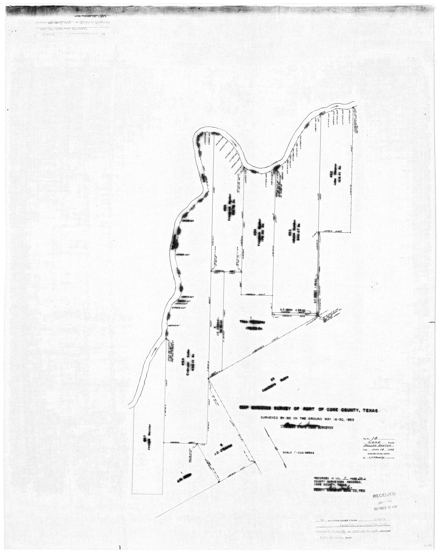
Coke County Rolled Sketch 18
Map Showing Surveys [West of the Colorado River Adjacent to Casimero Rubio Grant]
-
Map/Doc
8632
-
Collection
General Map Collection
-
Counties
Coke
-
Height x Width
43.4 x 34.4 inches
110.2 x 87.4 cm
Part of: General Map Collection
Presidio County Sketch File 98

Print $44.00
- Digital $50.00
Presidio County Sketch File 98
1955
Size 11.3 x 8.8 inches
Map/Doc 34783
United States - Gulf Coast Texas - Northern part of Laguna Madre

Print $20.00
- Digital $50.00
United States - Gulf Coast Texas - Northern part of Laguna Madre
1941
Size 26.7 x 18.3 inches
Map/Doc 72934
Angelina County Sketch File 15

Print $8.00
- Digital $50.00
Angelina County Sketch File 15
1848
Size 12.5 x 7.5 inches
Map/Doc 12960
Louisiana and Texas Intracoastal Waterway Proposed Extension to Rio Grande Valley

Print $20.00
- Digital $50.00
Louisiana and Texas Intracoastal Waterway Proposed Extension to Rio Grande Valley
1941
Size 22.0 x 33.0 inches
Map/Doc 61889

Bailey County Sketch File 7

Print $8.00
- Digital $50.00
Bailey County Sketch File 7
1913
Size 14.0 x 8.7 inches
Map/Doc 13958
Bandera County Working Sketch 45

Print $20.00
- Digital $50.00
Bandera County Working Sketch 45
1981
Size 42.4 x 35.5 inches
Map/Doc 67641
Navasota River, Grayson Crossing Sheet

Print $20.00
- Digital $50.00
Navasota River, Grayson Crossing Sheet
1937
Size 42.8 x 21.1 inches
Map/Doc 65071
Burnet County Working Sketch 4

Print $20.00
- Digital $50.00
Burnet County Working Sketch 4
1956
Size 18.3 x 33.1 inches
Map/Doc 67847
Terrell County Working Sketch 68

Print $20.00
- Digital $50.00
Terrell County Working Sketch 68
1973
Size 43.7 x 26.4 inches
Map/Doc 69589
Winkler County Rolled Sketch 16

Print $20.00
- Digital $50.00
Winkler County Rolled Sketch 16
1927
Size 22.5 x 32.6 inches
Map/Doc 8276
Flight Mission No. BQR-13K, Frame 27, Brazoria County

Print $20.00
- Digital $50.00
Flight Mission No. BQR-13K, Frame 27, Brazoria County
1952
Size 18.7 x 22.5 inches
Map/Doc 84075
You may also like
Flight Mission No. BRA-16M, Frame 151, Jefferson County

Print $20.00
- Digital $50.00
Flight Mission No. BRA-16M, Frame 151, Jefferson County
1953
Size 18.7 x 22.3 inches
Map/Doc 85757
[Blocks XO2, Z, and a Portion of Block 47]
![91252, [Blocks XO2, Z, and a Portion of Block 47], Twichell Survey Records](https://historictexasmaps.com/wmedia_w700/maps/91252-1.tif.jpg)
Print $20.00
- Digital $50.00
[Blocks XO2, Z, and a Portion of Block 47]
1923
Size 19.5 x 9.0 inches
Map/Doc 91252
Edwards County Working Sketch 30

Print $20.00
- Digital $50.00
Edwards County Working Sketch 30
1947
Size 27.7 x 38.2 inches
Map/Doc 68906
Coke County Sketch File 16

Print $20.00
- Digital $50.00
Coke County Sketch File 16
1902
Size 18.7 x 16.2 inches
Map/Doc 11108
Flight Mission No. CLL-1N, Frame 16, Willacy County

Print $20.00
- Digital $50.00
Flight Mission No. CLL-1N, Frame 16, Willacy County
1954
Size 18.3 x 22.0 inches
Map/Doc 87003
Grayson County

Print $20.00
- Digital $50.00
Grayson County
1935
Size 43.4 x 40.5 inches
Map/Doc 95512
[Map showing J. H. Gibson Blocks D and DD]
![92000, [Map showing J. H. Gibson Blocks D and DD], Twichell Survey Records](https://historictexasmaps.com/wmedia_w700/maps/92000-1.tif.jpg)
Print $20.00
- Digital $50.00
[Map showing J. H. Gibson Blocks D and DD]
Size 26.1 x 18.8 inches
Map/Doc 92000
Real County Sketch File 2

Print $4.00
- Digital $50.00
Real County Sketch File 2
1884
Size 13.4 x 8.5 inches
Map/Doc 35037
General Highway Map, Hockley County, Texas

Print $20.00
General Highway Map, Hockley County, Texas
1961
Size 18.2 x 24.6 inches
Map/Doc 79522
Uvalde County Working Sketch 49

Print $20.00
- Digital $50.00
Uvalde County Working Sketch 49
1980
Size 35.4 x 44.7 inches
Map/Doc 72119
Flight Mission No. CLL-3N, Frame 10, Willacy County

Print $20.00
- Digital $50.00
Flight Mission No. CLL-3N, Frame 10, Willacy County
1954
Size 18.5 x 22.2 inches
Map/Doc 87076
[Yates Field showing well locations]
![91670, [Yates Field showing well locations], Twichell Survey Records](https://historictexasmaps.com/wmedia_w700/maps/91670-1.tif.jpg)
Print $3.00
- Digital $50.00
[Yates Field showing well locations]
Size 14.4 x 11.3 inches
Map/Doc 91670