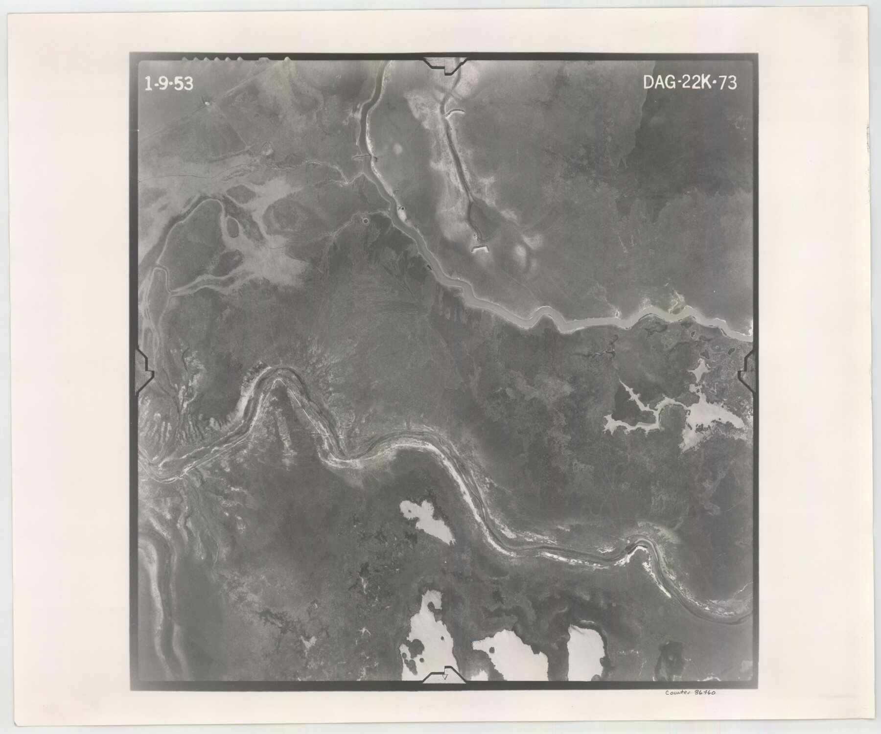
Flight Mission No. DAG-22K, Frame 73, Matagorda County
DAG-22K-73
-
Map/Doc
86460
-
Collection
General Map Collection
-
Object Dates
1953/1/9 (Creation Date)
-
People and Organizations
U. S. Department of Agriculture (Publisher)
-
Counties
Matagorda
-
Subjects
Aerial Photograph
-
Height x Width
18.7 x 22.4 inches
47.5 x 56.9 cm
-
Comments
Flown by Aero Exploration Company of Tulsa, Oklahoma.
Part of: General Map Collection
Hudspeth County Sketch File 35

Print $20.00
- Digital $50.00
Hudspeth County Sketch File 35
1886
Size 43.0 x 14.7 inches
Map/Doc 10497
Brewster County Sketch File 55

Print $14.00
- Digital $50.00
Brewster County Sketch File 55
1999
Size 10.9 x 6.4 inches
Map/Doc 16385
Hudspeth County Working Sketch 5

Print $20.00
- Digital $50.00
Hudspeth County Working Sketch 5
1921
Size 27.8 x 38.8 inches
Map/Doc 66286
No. 3 Chart of Channel connecting Corpus Christi Bay with Aransas Bay, Texas

Print $20.00
- Digital $50.00
No. 3 Chart of Channel connecting Corpus Christi Bay with Aransas Bay, Texas
1848
Size 18.3 x 27.9 inches
Map/Doc 72777
Briscoe County Sketch File B

Print $40.00
- Digital $50.00
Briscoe County Sketch File B
1900
Size 23.6 x 37.0 inches
Map/Doc 10998
Liberty County Working Sketch 78

Print $20.00
- Digital $50.00
Liberty County Working Sketch 78
1981
Size 36.2 x 41.0 inches
Map/Doc 70538
[Map of Connecting Lines along or near the Red River]
![75545, [Map of Connecting Lines along or near the Red River], General Map Collection](https://historictexasmaps.com/wmedia_w700/maps/75545.tif.jpg)
Print $40.00
- Digital $50.00
[Map of Connecting Lines along or near the Red River]
Size 37.9 x 48.7 inches
Map/Doc 75545

Pecos County Rolled Sketch 77

Print $20.00
- Digital $50.00
Pecos County Rolled Sketch 77
1930
Size 38.4 x 23.4 inches
Map/Doc 7238
Index Map No. 1 - Rio Bravo del Norte section of boundary between the United States & Mexico; agreed upon by the Joint Commission under the Treaty of Guadalupe Hidalgo

Print $20.00
- Digital $50.00
Index Map No. 1 - Rio Bravo del Norte section of boundary between the United States & Mexico; agreed upon by the Joint Commission under the Treaty of Guadalupe Hidalgo
1852
Size 18.3 x 27.5 inches
Map/Doc 72860
Brazoria County Working Sketch 37

Print $40.00
- Digital $50.00
Brazoria County Working Sketch 37
1981
Size 43.5 x 66.0 inches
Map/Doc 67522
Burleson County Working Sketch 44

Print $20.00
- Digital $50.00
Burleson County Working Sketch 44
1991
Size 22.4 x 25.0 inches
Map/Doc 67763
You may also like
Tarrant County Rolled Sketch 4

Print $20.00
- Digital $50.00
Tarrant County Rolled Sketch 4
1982
Size 27.2 x 19.2 inches
Map/Doc 7912
Flight Mission No. DAG-22K, Frame 76, Matagorda County

Print $20.00
- Digital $50.00
Flight Mission No. DAG-22K, Frame 76, Matagorda County
1953
Size 18.7 x 22.4 inches
Map/Doc 86463
Culberson County Working Sketch 31

Print $20.00
- Digital $50.00
Culberson County Working Sketch 31
1958
Size 30.5 x 30.0 inches
Map/Doc 68484
[North line of T. & P. Block 31, Township 6N]
![90554, [North line of T. & P. Block 31, Township 6N], Twichell Survey Records](https://historictexasmaps.com/wmedia_w700/maps/90554-1.tif.jpg)
Print $2.00
- Digital $50.00
[North line of T. & P. Block 31, Township 6N]
Size 7.5 x 4.7 inches
Map/Doc 90554
Aransas County Working Sketch 7

Print $20.00
- Digital $50.00
Aransas County Working Sketch 7
1946
Size 19.4 x 23.0 inches
Map/Doc 67174
Jeff Davis County Sketch File 23

Print $4.00
- Digital $50.00
Jeff Davis County Sketch File 23
1927
Size 13.3 x 8.8 inches
Map/Doc 27990
Real County Sketch File 5

Print $20.00
- Digital $50.00
Real County Sketch File 5
Size 16.9 x 20.9 inches
Map/Doc 12228
Matagorda County Sketch File 42b

Print $12.00
- Digital $50.00
Matagorda County Sketch File 42b
1913
Size 11.2 x 8.7 inches
Map/Doc 30862
Flight Mission No. CGI-1N, Frame 166, Cameron County

Print $20.00
- Digital $50.00
Flight Mission No. CGI-1N, Frame 166, Cameron County
1955
Size 18.5 x 22.2 inches
Map/Doc 84501
Sketch B Showing the progress of Section No. 2

Print $20.00
- Digital $50.00
Sketch B Showing the progress of Section No. 2
1844
Size 25.3 x 27.7 inches
Map/Doc 97204
Zavala County Rolled Sketch 12

Print $20.00
- Digital $50.00
Zavala County Rolled Sketch 12
Size 33.4 x 21.0 inches
Map/Doc 8320
[Blocks T1, T2, T3, S3, A, 05, 02 and vicinity]
![92196, [Blocks T1, T2, T3, S3, A, 05, 02 and vicinity], Twichell Survey Records](https://historictexasmaps.com/wmedia_w700/maps/92196-1.tif.jpg)
Print $20.00
- Digital $50.00
[Blocks T1, T2, T3, S3, A, 05, 02 and vicinity]
Size 20.3 x 22.9 inches
Map/Doc 92196