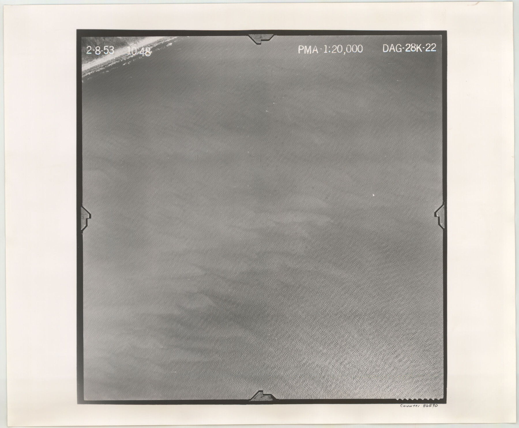
Flight Mission No. DAG-28K, Frame 22, Matagorda County
DAG-28K-22
-
Map/Doc
86590
-
Collection
General Map Collection
-
Object Dates
1953/2/8 (Creation Date)
-
People and Organizations
U. S. Department of Agriculture (Publisher)
-
Counties
Matagorda
-
Subjects
Aerial Photograph
-
Height x Width
18.4 x 22.3 inches
46.7 x 56.6 cm
-
Comments
Flown by Aero Exploration Company of Tulsa, Oklahoma.
Part of: General Map Collection

Bell County Sketch File 19

Print $4.00
- Digital $50.00
Bell County Sketch File 19
Size 7.6 x 7.7 inches
Map/Doc 14402
Dimmit County Sketch File 41

Print $4.00
- Digital $50.00
Dimmit County Sketch File 41
1901
Size 14.6 x 9.1 inches
Map/Doc 21169
Ward County Rolled Sketch 16

Print $20.00
- Digital $50.00
Ward County Rolled Sketch 16
1942
Size 30.5 x 21.7 inches
Map/Doc 8159
Crockett County Rolled Sketch 39

Print $20.00
- Digital $50.00
Crockett County Rolled Sketch 39
1935
Size 30.3 x 43.0 inches
Map/Doc 8705
Coleman County Sketch File 4a

Print $20.00
- Digital $50.00
Coleman County Sketch File 4a
1873
Size 12.4 x 20.9 inches
Map/Doc 11118
Travis County Sketch File 56

Print $6.00
- Digital $50.00
Travis County Sketch File 56
1945
Size 14.2 x 9.0 inches
Map/Doc 38398
Matagorda Bay Including Lavaca and Tres Palacios Bays

Print $40.00
- Digital $50.00
Matagorda Bay Including Lavaca and Tres Palacios Bays
1973
Size 37.0 x 48.4 inches
Map/Doc 73363
Hutchinson County Working Sketch Graphic Index - sheet 2

Print $20.00
- Digital $50.00
Hutchinson County Working Sketch Graphic Index - sheet 2
1922
Size 43.8 x 36.7 inches
Map/Doc 76587
Loving County Working Sketch 9

Print $20.00
- Digital $50.00
Loving County Working Sketch 9
1952
Size 24.8 x 45.8 inches
Map/Doc 70641
Map of San Saba County

Print $20.00
- Digital $50.00
Map of San Saba County
1887
Size 41.1 x 40.9 inches
Map/Doc 16809
Val Verde County Working Sketch 11

Print $20.00
- Digital $50.00
Val Verde County Working Sketch 11
1919
Size 32.0 x 26.5 inches
Map/Doc 72146
You may also like
Runnels County Working Sketch 19

Print $20.00
- Digital $50.00
Runnels County Working Sketch 19
1950
Size 24.9 x 30.8 inches
Map/Doc 63615
Calhoun County Rolled Sketch 31

Print $20.00
- Digital $50.00
Calhoun County Rolled Sketch 31
Size 44.5 x 30.0 inches
Map/Doc 5377
Goliad County Sketch File X

Print $10.00
- Digital $50.00
Goliad County Sketch File X
1893
Size 8.3 x 12.8 inches
Map/Doc 24332
Fayette County Boundary File 4

Print $19.00
- Digital $50.00
Fayette County Boundary File 4
Size 14.4 x 9.0 inches
Map/Doc 53362
Starr County Boundary File 1a

Print $20.00
- Digital $50.00
Starr County Boundary File 1a
Size 22.4 x 41.0 inches
Map/Doc 58813
Traveller's Map of the State of Texas

Print $20.00
- Digital $50.00
Traveller's Map of the State of Texas
1867
Size 40.7 x 38.7 inches
Map/Doc 2130
Pecos County Working Sketch 86

Print $20.00
- Digital $50.00
Pecos County Working Sketch 86
1962
Size 39.0 x 32.7 inches
Map/Doc 71558
Chase & Bachelder's American Museum of Art

Print $20.00
- Digital $50.00
Chase & Bachelder's American Museum of Art
1875
Size 37.4 x 28.0 inches
Map/Doc 97495
Young County Working Sketch 1

Print $20.00
- Digital $50.00
Young County Working Sketch 1
1960
Size 31.1 x 41.9 inches
Map/Doc 62024
Crockett County Rolled Sketch 56

Print $20.00
- Digital $50.00
Crockett County Rolled Sketch 56
1944
Size 24.2 x 31.1 inches
Map/Doc 5599

General Highway Map, Kleberg County, Texas

Print $20.00
General Highway Map, Kleberg County, Texas
1940
Size 24.9 x 18.4 inches
Map/Doc 79165