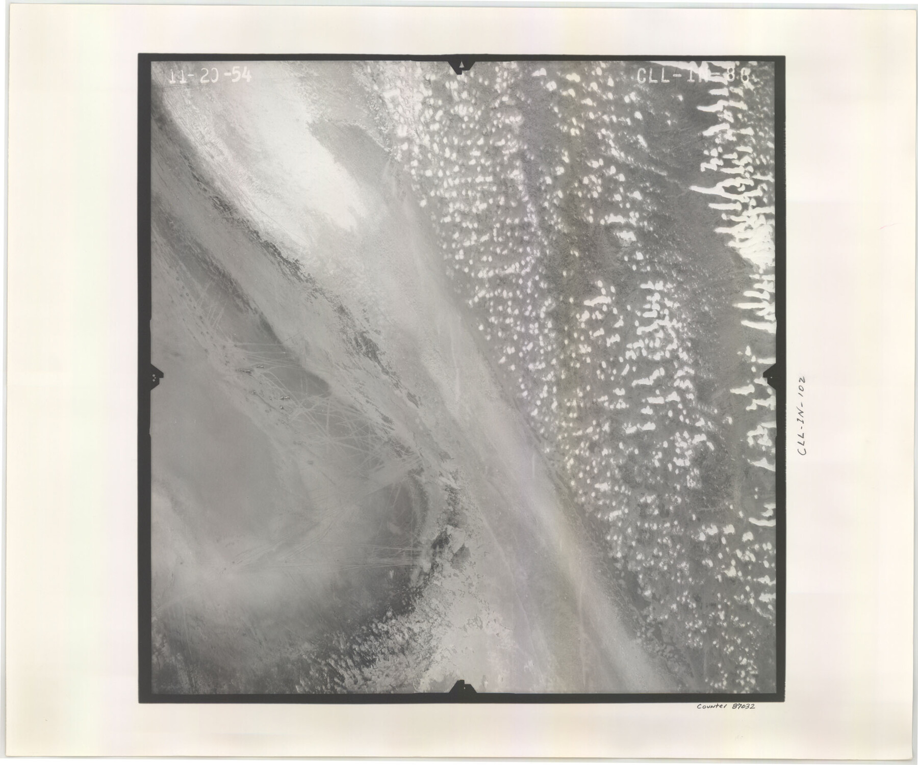
Flight Mission No. CLL-1N, Frame 86, Willacy County
CLL-1N-86
-
Map/Doc
87032
-
Collection
General Map Collection
-
Object Dates
1954/11/20 (Creation Date)
-
People and Organizations
U. S. Department of Agriculture (Publisher)
-
Counties
Willacy
-
Subjects
Aerial Photograph
-
Height x Width
18.4 x 22.1 inches
46.7 x 56.1 cm
-
Comments
Flown by Puckett Aerial Surveys, Inc. of Jackson, Mississippi.
Part of: General Map Collection
Map of the Hearne and Brazos Valley Railroad from Mumford to Moseley's Ferry

Print $40.00
- Digital $50.00
Map of the Hearne and Brazos Valley Railroad from Mumford to Moseley's Ferry
1892
Size 20.0 x 56.8 inches
Map/Doc 64400
Collin County Sketch File 2

Print $8.00
- Digital $50.00
Collin County Sketch File 2
1848
Size 10.0 x 8.0 inches
Map/Doc 18858
Presidio County Sketch File 103

Print $24.00
- Digital $50.00
Presidio County Sketch File 103
1949
Size 14.4 x 8.8 inches
Map/Doc 34795
Fort Bend County Sketch File 5

Print $4.00
- Digital $50.00
Fort Bend County Sketch File 5
Size 8.2 x 13.0 inches
Map/Doc 22889
Cameron County Rolled Sketch 15

Print $40.00
- Digital $50.00
Cameron County Rolled Sketch 15
1958
Size 53.0 x 32.0 inches
Map/Doc 8568
Kimble County Working Sketch 28

Print $20.00
- Digital $50.00
Kimble County Working Sketch 28
1938
Size 29.4 x 23.2 inches
Map/Doc 70096

Flight Mission No. BRA-16M, Frame 169, Jefferson County

Print $20.00
- Digital $50.00
Flight Mission No. BRA-16M, Frame 169, Jefferson County
1953
Size 18.7 x 22.6 inches
Map/Doc 85767
Shelby County Sketch File 34

Print $3.00
- Digital $50.00
Shelby County Sketch File 34
1847
Size 10.1 x 15.7 inches
Map/Doc 36674
Hays County Working Sketch 3

Print $20.00
- Digital $50.00
Hays County Working Sketch 3
1925
Size 28.2 x 24.1 inches
Map/Doc 66077
Blanco County Sketch File 5

Print $4.00
- Digital $50.00
Blanco County Sketch File 5
1860
Size 9.3 x 8.3 inches
Map/Doc 14582
Liberty County Rolled Sketch J

Print $20.00
- Digital $50.00
Liberty County Rolled Sketch J
1943
Size 29.1 x 38.0 inches
Map/Doc 10646
You may also like
Jasper County Working Sketch 32

Print $20.00
- Digital $50.00
Jasper County Working Sketch 32
1993
Size 18.7 x 22.7 inches
Map/Doc 66494
Val Verde County Rolled Sketch 86

Print $20.00
- Digital $50.00
Val Verde County Rolled Sketch 86
2014
Size 11.9 x 18.4 inches
Map/Doc 93690
Bosque County Sketch File 14

Print $22.00
- Digital $50.00
Bosque County Sketch File 14
1863
Size 12.2 x 7.6 inches
Map/Doc 14763
Karte von Texas entworfen nach den Vermessungen, welche in den Acten der General-Land-Office der Republic liegen bis zum Jahr 1839 von Richard S. Hunt & Jesse F. Randel

Print $20.00
Karte von Texas entworfen nach den Vermessungen, welche in den Acten der General-Land-Office der Republic liegen bis zum Jahr 1839 von Richard S. Hunt & Jesse F. Randel
1841
Size 19.6 x 14.6 inches
Map/Doc 79311
Caldwell County Working Sketch 2

Print $3.00
- Digital $50.00
Caldwell County Working Sketch 2
1912
Size 11.2 x 9.1 inches
Map/Doc 67832
Menard County Working Sketch 32

Print $20.00
- Digital $50.00
Menard County Working Sketch 32
1987
Size 35.8 x 33.8 inches
Map/Doc 70979
Estes Quadrangle

Print $20.00
- Digital $50.00
Estes Quadrangle
1971
Size 27.8 x 23.6 inches
Map/Doc 73442

Coke County Working Sketch 10

Print $20.00
- Digital $50.00
Coke County Working Sketch 10
1937
Size 25.1 x 26.7 inches
Map/Doc 68047
Lynn County Rolled Sketch 17

Print $20.00
- Digital $50.00
Lynn County Rolled Sketch 17
1994
Size 45.2 x 35.8 inches
Map/Doc 9475
Travis County Sketch File 11

Print $4.00
- Digital $50.00
Travis County Sketch File 11
1872
Size 11.4 x 8.8 inches
Map/Doc 38300
Supreme Court of the United States, October Term, 1924, No. 13, Original - The State of Oklahoma, Complainant vs. The State of Texas, Defendant, The United States, Intervener

Print $20.00
- Digital $50.00
Supreme Court of the United States, October Term, 1924, No. 13, Original - The State of Oklahoma, Complainant vs. The State of Texas, Defendant, The United States, Intervener
1924
Size 26.5 x 38.5 inches
Map/Doc 75131