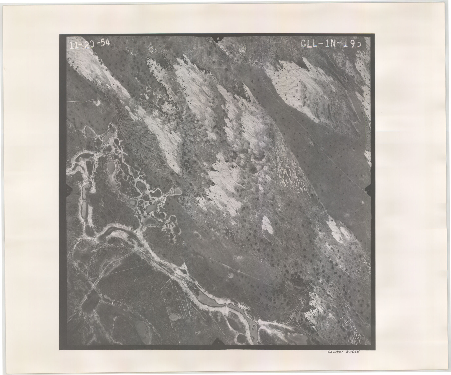
Flight Mission No. CLL-1N, Frame 195, Willacy County
CLL-1N-195
-
Map/Doc
87065
-
Collection
General Map Collection
-
Object Dates
1954/11/20 (Creation Date)
-
People and Organizations
U. S. Department of Agriculture (Publisher)
-
Counties
Willacy
-
Subjects
Aerial Photograph
-
Height x Width
18.5 x 22.3 inches
47.0 x 56.6 cm
-
Comments
Flown by Puckett Aerial Surveys, Inc. of Jackson, Mississippi.
Part of: General Map Collection
Liberty County Rolled Sketch Q

Print $20.00
- Digital $50.00
Liberty County Rolled Sketch Q
1890
Size 31.7 x 25.1 inches
Map/Doc 6625
Index sheet to accompany map of survey for connecting the inland waters along margin of the Gulf of Mexico from Donaldsonville in Louisiana to the Rio Grande River in Texas

Print $20.00
- Digital $50.00
Index sheet to accompany map of survey for connecting the inland waters along margin of the Gulf of Mexico from Donaldsonville in Louisiana to the Rio Grande River in Texas
Size 18.3 x 27.6 inches
Map/Doc 72689
Throckmorton County Sketch File 3

Print $6.00
- Digital $50.00
Throckmorton County Sketch File 3
Size 10.4 x 10.2 inches
Map/Doc 38052
Wise County Working Sketch 30

Print $20.00
- Digital $50.00
Wise County Working Sketch 30
1999
Size 39.2 x 34.3 inches
Map/Doc 72644
San Jacinto County Rolled Sketch 10B

Print $40.00
- Digital $50.00
San Jacinto County Rolled Sketch 10B
1944
Size 76.5 x 43.2 inches
Map/Doc 9883
Harris County Boundary File 39 (21)

Print $6.00
- Digital $50.00
Harris County Boundary File 39 (21)
Size 10.2 x 8.1 inches
Map/Doc 54365
Harris County NRC Article 33.136 Sketch 15

Print $28.00
- Digital $50.00
Harris County NRC Article 33.136 Sketch 15
2012
Size 24.0 x 18.0 inches
Map/Doc 94762
Upshur County Working Sketch Graphic Index

Print $20.00
- Digital $50.00
Upshur County Working Sketch Graphic Index
1945
Size 40.8 x 35.4 inches
Map/Doc 76720
Flight Mission No. CRE-2R, Frame 84, Jackson County

Print $20.00
- Digital $50.00
Flight Mission No. CRE-2R, Frame 84, Jackson County
1956
Size 16.1 x 15.9 inches
Map/Doc 85356
Aransas Migratory Waterfowl Refuge, San Antonio Loan & Trust Company Tracts, 45,596.98 acres, Aransas and Refugio Counties

Print $20.00
- Digital $50.00
Aransas Migratory Waterfowl Refuge, San Antonio Loan & Trust Company Tracts, 45,596.98 acres, Aransas and Refugio Counties
1937
Size 41.1 x 30.8 inches
Map/Doc 3073
Presidio County Rolled Sketch 124

Print $20.00
- Digital $50.00
Presidio County Rolled Sketch 124
1984
Size 27.9 x 39.8 inches
Map/Doc 7396
Flight Mission No. BRE-1P, Frame 142, Nueces County

Print $20.00
- Digital $50.00
Flight Mission No. BRE-1P, Frame 142, Nueces County
1956
Size 18.4 x 22.3 inches
Map/Doc 86702
You may also like
Newton County Working Sketch 1

Print $20.00
- Digital $50.00
Newton County Working Sketch 1
Size 25.5 x 25.9 inches
Map/Doc 71247
Flight Mission No. BRE-2P, Frame 96, Nueces County

Print $20.00
- Digital $50.00
Flight Mission No. BRE-2P, Frame 96, Nueces County
1956
Size 18.4 x 22.3 inches
Map/Doc 86781
Flight Mission No. CRC-5R, Frame 42, Chambers County

Print $20.00
- Digital $50.00
Flight Mission No. CRC-5R, Frame 42, Chambers County
1956
Size 18.6 x 22.3 inches
Map/Doc 84961
Presidio County Working Sketch 39

Print $20.00
- Digital $50.00
Presidio County Working Sketch 39
1948
Size 44.6 x 43.4 inches
Map/Doc 71716

Parker County Sketch File D

Print $4.00
- Digital $50.00
Parker County Sketch File D
Size 9.9 x 8.2 inches
Map/Doc 33514
From Citizens of Red River County for the Creation of a New County to be Called Aurora, December 3, 1840

Print $20.00
From Citizens of Red River County for the Creation of a New County to be Called Aurora, December 3, 1840
2020
Size 19.8 x 21.7 inches
Map/Doc 96391
Flight Mission No. CGI-8AA, Frame 146, Cameron County

Print $20.00
- Digital $50.00
Flight Mission No. CGI-8AA, Frame 146, Cameron County
1962
Size 18.6 x 18.3 inches
Map/Doc 84533
Baylor County Sketch File 12E

Print $11.00
- Digital $50.00
Baylor County Sketch File 12E
1900
Size 14.3 x 8.8 inches
Map/Doc 14159
Map of Young County

Print $20.00
- Digital $50.00
Map of Young County
Size 25.6 x 29.8 inches
Map/Doc 92023
General Highway Map, Liberty County, Texas

Print $20.00
General Highway Map, Liberty County, Texas
1961
Size 18.1 x 24.6 inches
Map/Doc 79571
Map of Comal County

Print $20.00
- Digital $50.00
Map of Comal County
1897
Size 40.4 x 46.3 inches
Map/Doc 4917