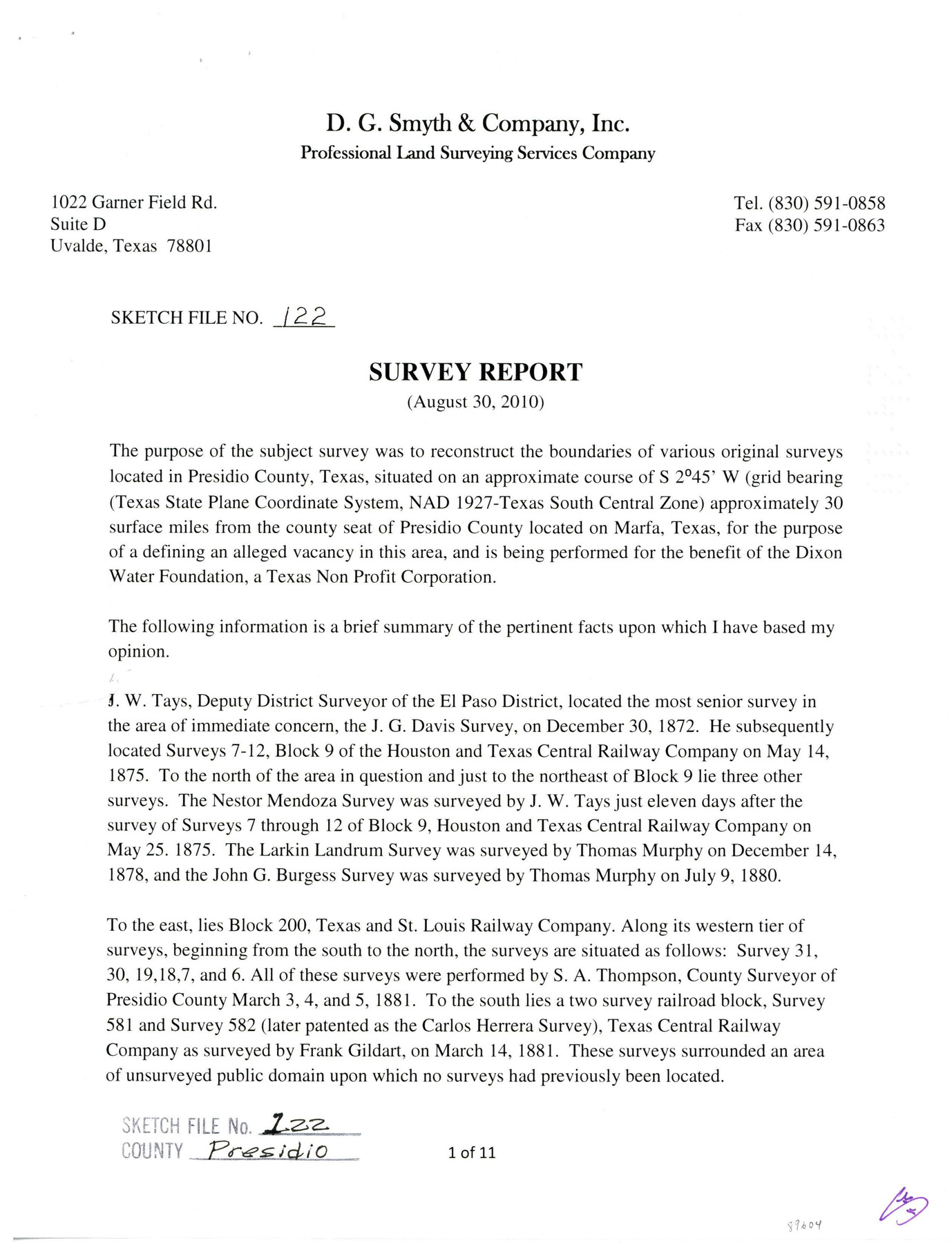
Presidio County Sketch File 122
[Survey report on alleged vacancy between surveys 4 and 5, Block 338, and Block 9]
-
Map/Doc
89604
-
Collection
General Map Collection
-
Object Dates
8/30/2010 (Creation Date)
8/30/2010 (Survey Date)
10/5/2010 (File Date)
-
People and Organizations
D.G. Smyth (Surveyor/Engineer)
-
Counties
Presidio
-
Subjects
Surveying Sketch File
-
Height x Width
11.0 x 8.5 inches
27.9 x 21.6 cm
-
Medium
paper, print
-
Comments
See Presidio County Rolled Sketch 144 (89602 and 89603) for related sketches.
Related maps
Presidio County Rolled Sketch 144

Print $20.00
- Digital $50.00
Presidio County Rolled Sketch 144
2010
Size 36.0 x 24.0 inches
Map/Doc 89602
Presidio County Rolled Sketch 144

Print $20.00
- Digital $50.00
Presidio County Rolled Sketch 144
2010
Size 36.0 x 24.0 inches
Map/Doc 89603
Part of: General Map Collection
Calhoun County Rolled Sketch 17

Print $20.00
- Digital $50.00
Calhoun County Rolled Sketch 17
1957
Size 24.6 x 30.0 inches
Map/Doc 5370
Brewster County Rolled Sketch 59CC

Print $20.00
- Digital $50.00
Brewster County Rolled Sketch 59CC
1939
Size 18.3 x 24.9 inches
Map/Doc 5230
Pecos County Rolled Sketch 112

Print $20.00
- Digital $50.00
Pecos County Rolled Sketch 112
1941
Size 39.0 x 37.0 inches
Map/Doc 9720
Uvalde County Sketch File 12A

Print $20.00
- Digital $50.00
Uvalde County Sketch File 12A
1887
Size 19.2 x 30.0 inches
Map/Doc 12527
Jefferson County Aerial Photograph Index Sheet 7

Print $20.00
- Digital $50.00
Jefferson County Aerial Photograph Index Sheet 7
1953
Size 23.3 x 16.9 inches
Map/Doc 83711
Flight Mission No. DIX-6P, Frame 196, Aransas County

Print $20.00
- Digital $50.00
Flight Mission No. DIX-6P, Frame 196, Aransas County
1956
Size 18.9 x 22.6 inches
Map/Doc 83858
Brown County Sketch File 7

Print $6.00
- Digital $50.00
Brown County Sketch File 7
1860
Size 13.0 x 8.1 inches
Map/Doc 16590
Reeves County Working Sketch 1

Print $40.00
- Digital $50.00
Reeves County Working Sketch 1
Size 48.6 x 38.2 inches
Map/Doc 63443
St. Louis, Brownsville & Mexico Railway Location Map from Mile 100 to Mile 120

Print $40.00
- Digital $50.00
St. Louis, Brownsville & Mexico Railway Location Map from Mile 100 to Mile 120
1905
Size 19.4 x 67.8 inches
Map/Doc 64168
Andrews County Working Sketch 27

Print $20.00
- Digital $50.00
Andrews County Working Sketch 27
1984
Size 19.1 x 16.2 inches
Map/Doc 67073
Brazoria County Working Sketch 42

Print $20.00
- Digital $50.00
Brazoria County Working Sketch 42
1984
Size 43.5 x 47.1 inches
Map/Doc 67527
Live Oak County Sketch File 6

Print $4.00
- Digital $50.00
Live Oak County Sketch File 6
1847
Size 9.9 x 7.8 inches
Map/Doc 30257
You may also like
Jefferson County Working Sketch 18

Print $20.00
- Digital $50.00
Jefferson County Working Sketch 18
1954
Size 24.2 x 30.7 inches
Map/Doc 66561

Smith County Working Sketch 16

Print $20.00
- Digital $50.00
Smith County Working Sketch 16
1988
Size 33.6 x 44.9 inches
Map/Doc 63901
Starr County Sketch File 46 1/2

Print $20.00
- Digital $50.00
Starr County Sketch File 46 1/2
1978
Size 17.9 x 17.2 inches
Map/Doc 12344
Map of Colorado District

Print $20.00
- Digital $50.00
Map of Colorado District
1841
Size 21.5 x 31.2 inches
Map/Doc 3421

Railroad Track Map, H&TCRRCo., Falls County, Texas

Print $4.00
- Digital $50.00
Railroad Track Map, H&TCRRCo., Falls County, Texas
1918
Size 11.8 x 18.5 inches
Map/Doc 62837
PSL Field Notes for Blocks A42 through A55 in Andrews County

PSL Field Notes for Blocks A42 through A55 in Andrews County
Map/Doc 81644
Thornton, Texas

Print $20.00
- Digital $50.00
Thornton, Texas
1922
Size 30.0 x 32.6 inches
Map/Doc 92143
Atlas B, 1-137, Burnet's Colony

Atlas B, 1-137, Burnet's Colony
Size 13.2 x 18.1 inches
Map/Doc 94537
Duval County Rolled Sketch 28

Print $20.00
- Digital $50.00
Duval County Rolled Sketch 28
1947
Size 15.9 x 23.7 inches
Map/Doc 5745
From Citizens to Redefine the Boundary Between Gonzales and Victoria Counties, April 14, 18

Print $20.00
From Citizens to Redefine the Boundary Between Gonzales and Victoria Counties, April 14, 18
2020
Size 24.9 x 21.7 inches
Map/Doc 96378