[Sketch Showing Wm. T. Brewer, John R. Taylor, Wm. F. Butler, Timothy DeVore, L. M. Thorn and adjoining surveys]
11-22
-
Map/Doc
90121
-
Collection
Twichell Survey Records
-
Counties
Bastrop
-
Height x Width
27.2 x 19.3 inches
69.1 x 49.0 cm
Part of: Twichell Survey Records
Plat of Fee Land Adjoining the Town of Lovington, New Mexico


Print $20.00
- Digital $50.00
Plat of Fee Land Adjoining the Town of Lovington, New Mexico
Size 24.2 x 18.4 inches
Map/Doc 92422
[Capitol Land Leagues and Blocks M6, 10T, T1, O5 and part of Block B]
![93194, [Capitol Land Leagues and Blocks M6, 10T, T1, O5 and part of Block B], Twichell Survey Records](https://historictexasmaps.com/wmedia_w700/maps/93194-1.tif.jpg)
![93194, [Capitol Land Leagues and Blocks M6, 10T, T1, O5 and part of Block B], Twichell Survey Records](https://historictexasmaps.com/wmedia_w700/maps/93194-1.tif.jpg)
Print $40.00
- Digital $50.00
[Capitol Land Leagues and Blocks M6, 10T, T1, O5 and part of Block B]
Size 43.7 x 105.6 inches
Map/Doc 93194
[Sketch showing Leagues 464, 467-472, 483-489, 495, 510, 517, 532, 541, 556-570]
![89802, [Sketch showing Leagues 464, 467-472, 483-489, 495, 510, 517, 532, 541, 556-570], Twichell Survey Records](https://historictexasmaps.com/wmedia_w700/maps/89802-1.tif.jpg)
![89802, [Sketch showing Leagues 464, 467-472, 483-489, 495, 510, 517, 532, 541, 556-570], Twichell Survey Records](https://historictexasmaps.com/wmedia_w700/maps/89802-1.tif.jpg)
Print $20.00
- Digital $50.00
[Sketch showing Leagues 464, 467-472, 483-489, 495, 510, 517, 532, 541, 556-570]
Size 44.8 x 42.7 inches
Map/Doc 89802
University of Texas System University Lands


Print $20.00
- Digital $50.00
University of Texas System University Lands
Size 17.7 x 23.2 inches
Map/Doc 93242
Revised Map of Pep Located on Labor 11, League 699 Texas State Capitol Lands Hockley County, Texas
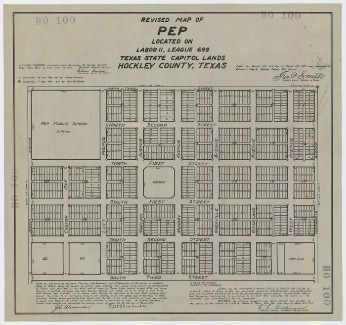

Print $20.00
- Digital $50.00
Revised Map of Pep Located on Labor 11, League 699 Texas State Capitol Lands Hockley County, Texas
1927
Size 16.9 x 15.7 inches
Map/Doc 92204
[Elwood Ranch Field Notes]
![91090, [Elwood Ranch Field Notes], Twichell Survey Records](https://historictexasmaps.com/wmedia_w700/maps/91090-1.tif.jpg)
![91090, [Elwood Ranch Field Notes], Twichell Survey Records](https://historictexasmaps.com/wmedia_w700/maps/91090-1.tif.jpg)
Print $20.00
- Digital $50.00
[Elwood Ranch Field Notes]
Size 12.4 x 16.4 inches
Map/Doc 91090
Right-of-way & Track Map Dawson Railway Operated by the El Paso & Southwestern Company Station 1021+79.7 to Station 1233+41.7
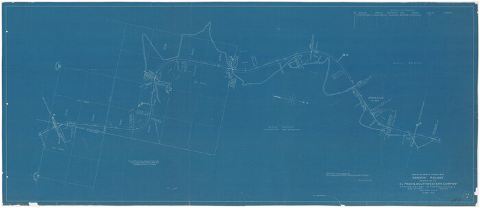

Print $40.00
- Digital $50.00
Right-of-way & Track Map Dawson Railway Operated by the El Paso & Southwestern Company Station 1021+79.7 to Station 1233+41.7
1910
Size 57.0 x 25.1 inches
Map/Doc 89661
[Area Surrounding Charles Ragsdale, M. George, and H. Ward Surveys]
![91535, [Area Surrounding Charles Ragsdale, M. George, and H. Ward Surveys], Twichell Survey Records](https://historictexasmaps.com/wmedia_w700/maps/91535-1.tif.jpg)
![91535, [Area Surrounding Charles Ragsdale, M. George, and H. Ward Surveys], Twichell Survey Records](https://historictexasmaps.com/wmedia_w700/maps/91535-1.tif.jpg)
Print $20.00
- Digital $50.00
[Area Surrounding Charles Ragsdale, M. George, and H. Ward Surveys]
Size 20.0 x 23.3 inches
Map/Doc 91535
General Highway Map, Floyd County, Texas


Print $20.00
- Digital $50.00
General Highway Map, Floyd County, Texas
1950
Size 18.8 x 25.7 inches
Map/Doc 92973
[Leagues 157-160]
![90298, [Leagues 157-160], Twichell Survey Records](https://historictexasmaps.com/wmedia_w700/maps/90298-1.tif.jpg)
![90298, [Leagues 157-160], Twichell Survey Records](https://historictexasmaps.com/wmedia_w700/maps/90298-1.tif.jpg)
Print $20.00
- Digital $50.00
[Leagues 157-160]
Size 8.2 x 22.6 inches
Map/Doc 90298
Map of Glasscock County
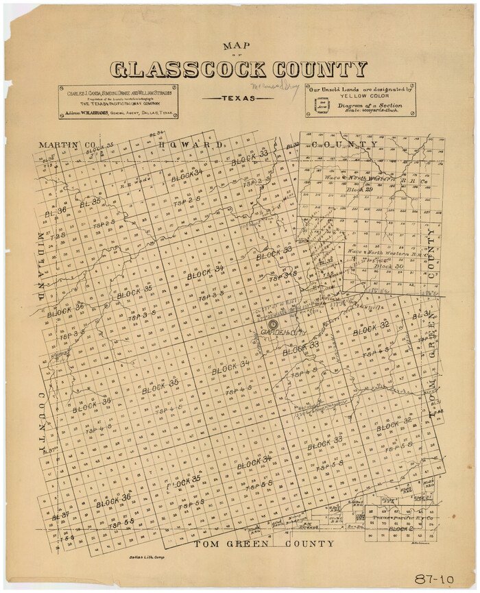

Print $20.00
- Digital $50.00
Map of Glasscock County
Size 19.1 x 23.1 inches
Map/Doc 90781
Map of Abernathy Located on Section 12, Block CK, Hale and Lubbock Counties, Texas
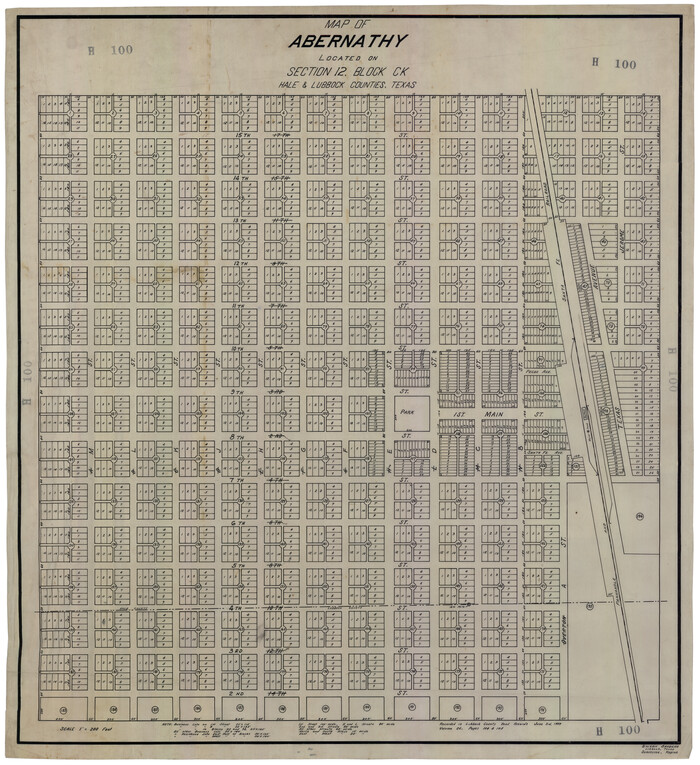

Print $20.00
- Digital $50.00
Map of Abernathy Located on Section 12, Block CK, Hale and Lubbock Counties, Texas
Size 30.4 x 33.2 inches
Map/Doc 92700
You may also like
[River Secs. 55-79, Archer County School Land League 3 and surrounding surveys]
![90472, [River Secs. 55-79, Archer County School Land League 3 and surrounding surveys], Twichell Survey Records](https://historictexasmaps.com/wmedia_w700/maps/90472-1.tif.jpg)
![90472, [River Secs. 55-79, Archer County School Land League 3 and surrounding surveys], Twichell Survey Records](https://historictexasmaps.com/wmedia_w700/maps/90472-1.tif.jpg)
Print $20.00
- Digital $50.00
[River Secs. 55-79, Archer County School Land League 3 and surrounding surveys]
Size 28.3 x 20.4 inches
Map/Doc 90472
Tom Green County Boundary File 87
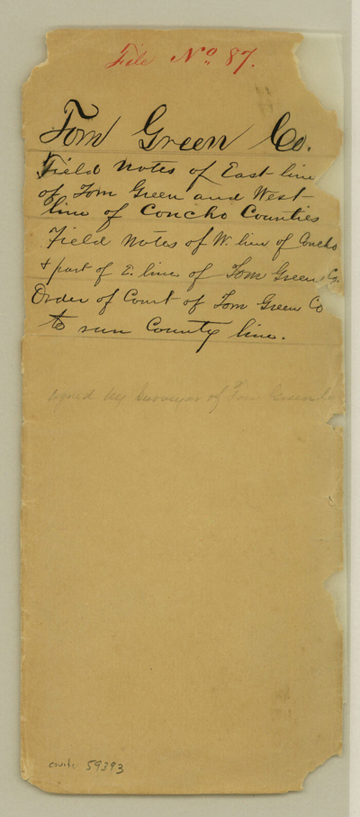

Print $10.00
- Digital $50.00
Tom Green County Boundary File 87
Size 9.1 x 4.0 inches
Map/Doc 59393
Galveston Bay from a Spanish M. S.
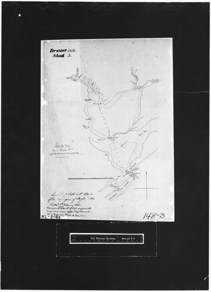

Print $20.00
- Digital $50.00
Galveston Bay from a Spanish M. S.
1846
Size 25.1 x 18.2 inches
Map/Doc 72759
Tom Green County Sketch File 74
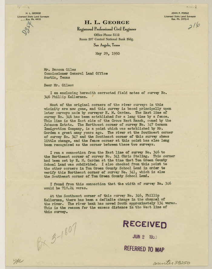

Print $6.00
- Digital $50.00
Tom Green County Sketch File 74
1950
Size 11.3 x 8.9 inches
Map/Doc 38250
Goliad County


Print $20.00
- Digital $50.00
Goliad County
1946
Size 42.8 x 45.0 inches
Map/Doc 73159
Flight Mission No. CRC-3R, Frame 37, Chambers County


Print $20.00
- Digital $50.00
Flight Mission No. CRC-3R, Frame 37, Chambers County
1956
Size 18.6 x 22.4 inches
Map/Doc 84810
Map of Jackson County
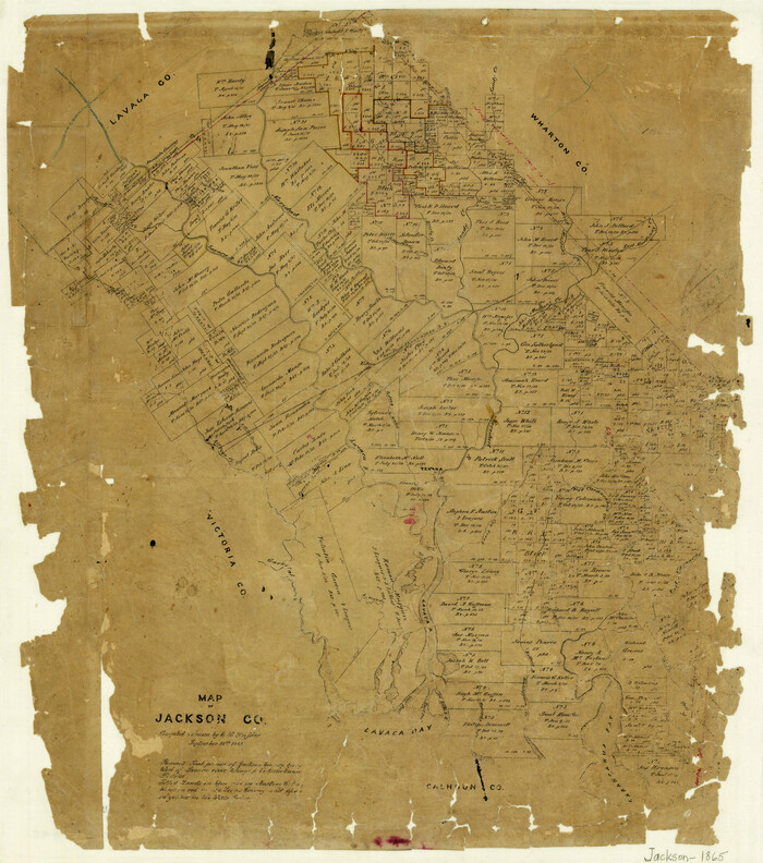

Print $20.00
- Digital $50.00
Map of Jackson County
1865
Size 22.2 x 19.9 inches
Map/Doc 3709
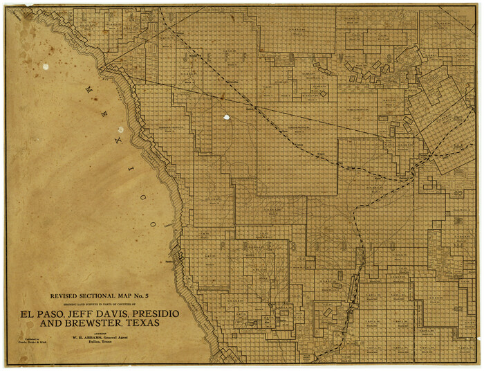
Revised Sectional Map No. 5 showing land surveys in parts of counties of El Paso, Jeff Davis, Presidio and Brewster, Texas

Print $20.00
- Digital $50.00
Revised Sectional Map No. 5 showing land surveys in parts of counties of El Paso, Jeff Davis, Presidio and Brewster, Texas
Size 19.0 x 23.7 inches
Map/Doc 4476
[Block 1 PO, Surveys 15, 16, and 17]
![91433, [Block 1 PO, Surveys 15, 16, and 17], Twichell Survey Records](https://historictexasmaps.com/wmedia_w700/maps/91433-1.tif.jpg)
![91433, [Block 1 PO, Surveys 15, 16, and 17], Twichell Survey Records](https://historictexasmaps.com/wmedia_w700/maps/91433-1.tif.jpg)
Print $20.00
- Digital $50.00
[Block 1 PO, Surveys 15, 16, and 17]
1906
Size 16.6 x 15.6 inches
Map/Doc 91433
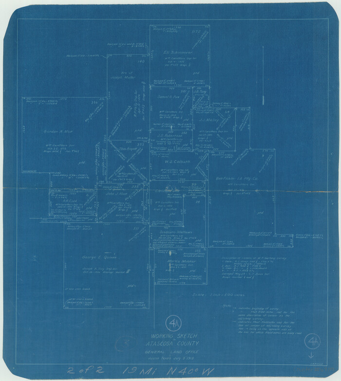
Atascosa County Working Sketch 4

Print $20.00
- Digital $50.00
Atascosa County Working Sketch 4
1913
Size 16.8 x 15.0 inches
Map/Doc 67199
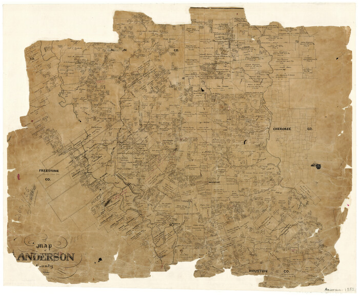
Map of Anderson County

Print $20.00
- Digital $50.00
Map of Anderson County
1855
Size 23.7 x 28.9 inches
Map/Doc 3225
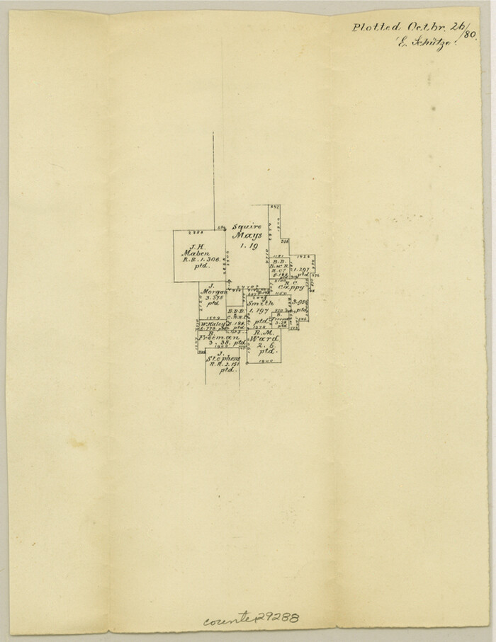
Lamar County Sketch File 7

Print $4.00
- Digital $50.00
Lamar County Sketch File 7
1880
Size 9.0 x 6.9 inches
Map/Doc 29288
![90121, [Sketch Showing Wm. T. Brewer, John R. Taylor, Wm. F. Butler, Timothy DeVore, L. M. Thorn and adjoining surveys], Twichell Survey Records](https://historictexasmaps.com/wmedia_w1800h1800/maps/90121-1.tif.jpg)