[Blocks T1, T2, and T3]
140-49
-
Map/Doc
90995
-
Collection
Twichell Survey Records
-
Object Dates
5/16/1888 (Creation Date)
-
People and Organizations
W.S. Mabry (Surveyor/Engineer)
-
Counties
Lamb
-
Height x Width
16.0 x 25.9 inches
40.6 x 65.8 cm
Part of: Twichell Survey Records
Renderbrook Ranch


Print $20.00
- Digital $50.00
Renderbrook Ranch
1932
Size 16.9 x 13.5 inches
Map/Doc 92279
[Leagues 70, 71, 72, 73, 74, 75, 704, 705, 718, 719, and 732]
![91098, [Leagues 70, 71, 72, 73, 74, 75, 704, 705, 718, 719, and 732], Twichell Survey Records](https://historictexasmaps.com/wmedia_w700/maps/91098-1.tif.jpg)
![91098, [Leagues 70, 71, 72, 73, 74, 75, 704, 705, 718, 719, and 732], Twichell Survey Records](https://historictexasmaps.com/wmedia_w700/maps/91098-1.tif.jpg)
Print $2.00
- Digital $50.00
[Leagues 70, 71, 72, 73, 74, 75, 704, 705, 718, 719, and 732]
Size 6.0 x 11.1 inches
Map/Doc 91098
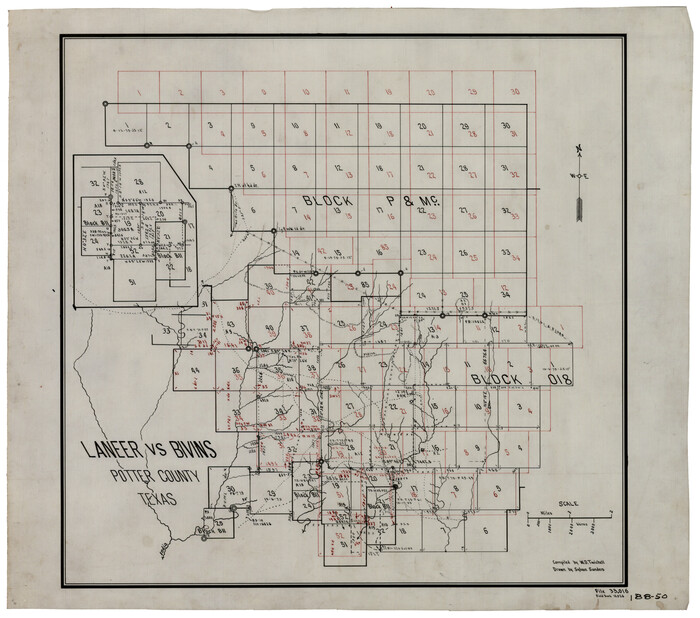
Laneer vs. Bivins, Potter County, Texas

Print $20.00
- Digital $50.00
Laneer vs. Bivins, Potter County, Texas
Size 21.7 x 19.0 inches
Map/Doc 93103
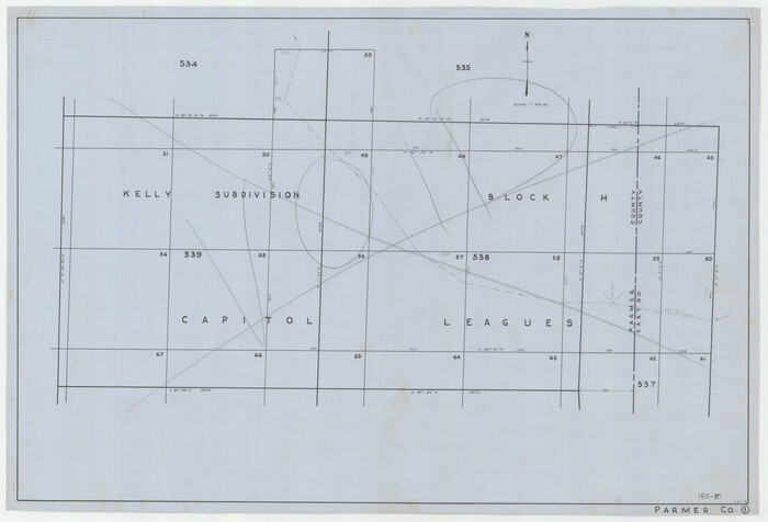
Brazos River Conservation and Reclamation District Official Boundary Line Survey, Parmer County

Print $20.00
- Digital $50.00
Brazos River Conservation and Reclamation District Official Boundary Line Survey, Parmer County
Size 24.6 x 16.8 inches
Map/Doc 91657
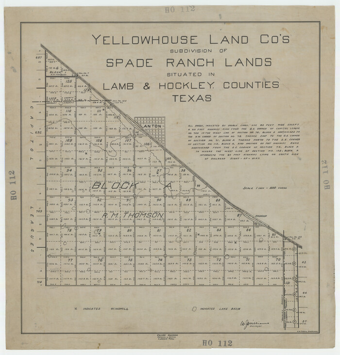
Yellowhouse Land Company's Subdivision of Spade Ranch Lands Situated in Lamb and Hockley Counties, Texas

Print $20.00
- Digital $50.00
Yellowhouse Land Company's Subdivision of Spade Ranch Lands Situated in Lamb and Hockley Counties, Texas
Size 21.5 x 22.5 inches
Map/Doc 92228
Howard T. Trigg's Official Map of Amarillo


Print $40.00
- Digital $50.00
Howard T. Trigg's Official Map of Amarillo
Size 79.1 x 54.0 inches
Map/Doc 93196
[Coordinates for Block H, Sections 1 and 2 and Block C41, Section 4]
![92566, [Coordinates for Block H, Sections 1 and 2 and Block C41, Section 4], Twichell Survey Records](https://historictexasmaps.com/wmedia_w700/maps/92566-1.tif.jpg)
![92566, [Coordinates for Block H, Sections 1 and 2 and Block C41, Section 4], Twichell Survey Records](https://historictexasmaps.com/wmedia_w700/maps/92566-1.tif.jpg)
Print $3.00
- Digital $50.00
[Coordinates for Block H, Sections 1 and 2 and Block C41, Section 4]
1940
Size 11.4 x 17.4 inches
Map/Doc 92566
[SW Corner of Lynn County]
![92903, [SW Corner of Lynn County], Twichell Survey Records](https://historictexasmaps.com/wmedia_w700/maps/92903-1.tif.jpg)
![92903, [SW Corner of Lynn County], Twichell Survey Records](https://historictexasmaps.com/wmedia_w700/maps/92903-1.tif.jpg)
Print $20.00
- Digital $50.00
[SW Corner of Lynn County]
1954
Size 32.2 x 31.1 inches
Map/Doc 92903
[Marion County School Land, Jack County School Land, Abel A. Lewis and other surveys in vicinity]
![90427, [Marion County School Land, Jack County School Land, Abel A. Lewis and other surveys in vicinity], Twichell Survey Records](https://historictexasmaps.com/wmedia_w700/maps/90427-1.tif.jpg)
![90427, [Marion County School Land, Jack County School Land, Abel A. Lewis and other surveys in vicinity], Twichell Survey Records](https://historictexasmaps.com/wmedia_w700/maps/90427-1.tif.jpg)
Print $20.00
- Digital $50.00
[Marion County School Land, Jack County School Land, Abel A. Lewis and other surveys in vicinity]
Size 22.0 x 25.1 inches
Map/Doc 90427
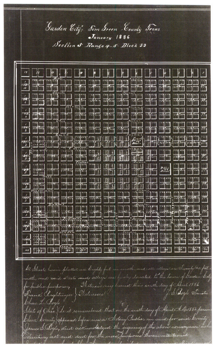
Garden City Townsite, Section 5, Range 4 South, Block 33

Print $3.00
- Digital $50.00
Garden City Townsite, Section 5, Range 4 South, Block 33
1886
Size 9.4 x 14.5 inches
Map/Doc 90764
John DePauw Lands
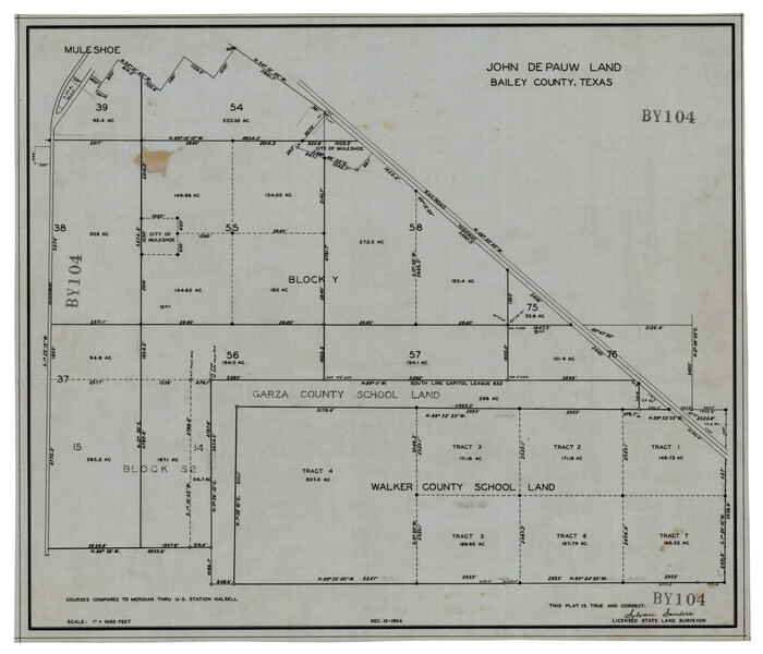

Print $20.00
- Digital $50.00
John DePauw Lands
1954
Size 22.0 x 18.8 inches
Map/Doc 92503
Ellwood Farms Subdivision Number 2 of the Spade Ranch


Print $20.00
- Digital $50.00
Ellwood Farms Subdivision Number 2 of the Spade Ranch
Size 21.9 x 31.4 inches
Map/Doc 90986
You may also like
Jefferson County NRC Article 33.136 Sketch 7


Print $24.00
- Digital $50.00
Jefferson County NRC Article 33.136 Sketch 7
2009
Size 30.8 x 43.0 inches
Map/Doc 94711
Brewster County Sketch File 37

Print $88.00
- Digital $50.00
Brewster County Sketch File 37
1967
Size 11.4 x 8.0 inches
Map/Doc 15903
Hamilton County Sketch File 14


Print $10.00
- Digital $50.00
Hamilton County Sketch File 14
Size 10.1 x 8.0 inches
Map/Doc 24937
Matagorda County NRC Article 33.136 Sketch 9


Print $28.00
- Digital $50.00
Matagorda County NRC Article 33.136 Sketch 9
2011
Size 24.0 x 36.0 inches
Map/Doc 94811
Plat Showing Position of Hancock Tract and the City of Austin

Print $20.00
- Digital $50.00
Plat Showing Position of Hancock Tract and the City of Austin
Size 22.4 x 17.5 inches
Map/Doc 599
Atascosa County Rolled Sketch 5B2

Print $20.00
- Digital $50.00
Atascosa County Rolled Sketch 5B2
1910
Size 16.4 x 12.5 inches
Map/Doc 5091
Leon County Rolled Sketch 10
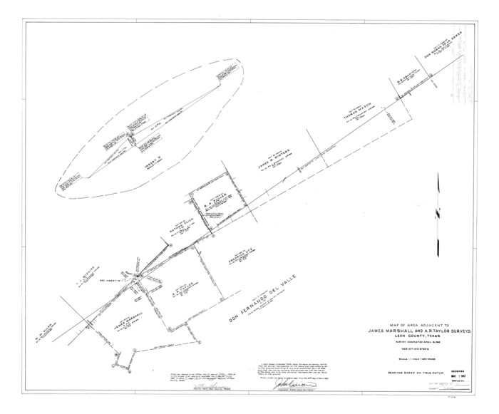

Print $20.00
- Digital $50.00
Leon County Rolled Sketch 10
1962
Size 30.9 x 37.2 inches
Map/Doc 6598
Brewster County Working Sketch 42
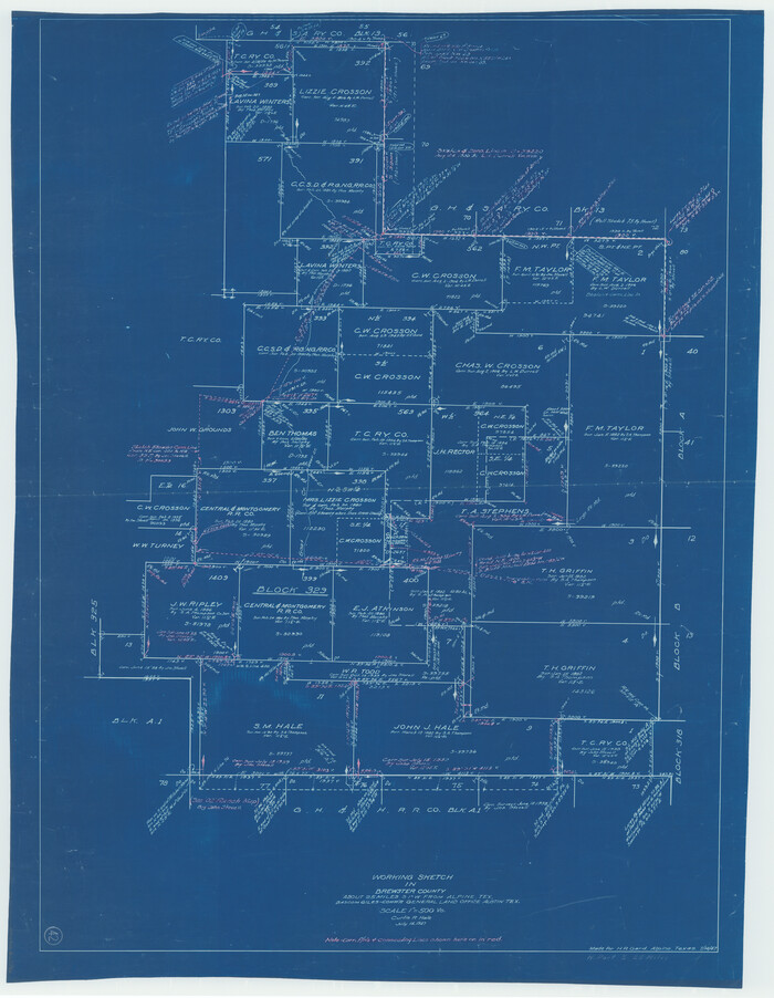

Print $20.00
- Digital $50.00
Brewster County Working Sketch 42
1947
Size 39.9 x 31.0 inches
Map/Doc 67576
Flight Mission No. DCL-7C, Frame 11, Kenedy County
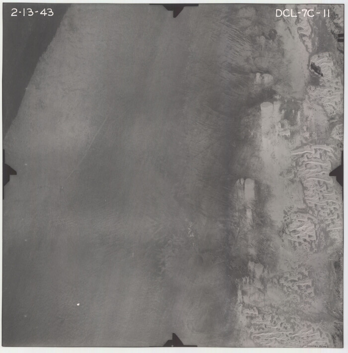

Print $20.00
- Digital $50.00
Flight Mission No. DCL-7C, Frame 11, Kenedy County
1943
Size 15.4 x 15.2 inches
Map/Doc 86003
Section 10, Block Z, Cochran County, Texas


Print $20.00
- Digital $50.00
Section 10, Block Z, Cochran County, Texas
1952
Size 12.2 x 17.0 inches
Map/Doc 92521
Dallas County Boundary File 6e


Print $70.00
- Digital $50.00
Dallas County Boundary File 6e
Size 16.6 x 22.5 inches
Map/Doc 52254
Stonewall County


Print $20.00
- Digital $50.00
Stonewall County
1879
Size 22.7 x 19.1 inches
Map/Doc 4058
![90995, [Blocks T1, T2, and T3], Twichell Survey Records](https://historictexasmaps.com/wmedia_w1800h1800/maps/90995-1.tif.jpg)