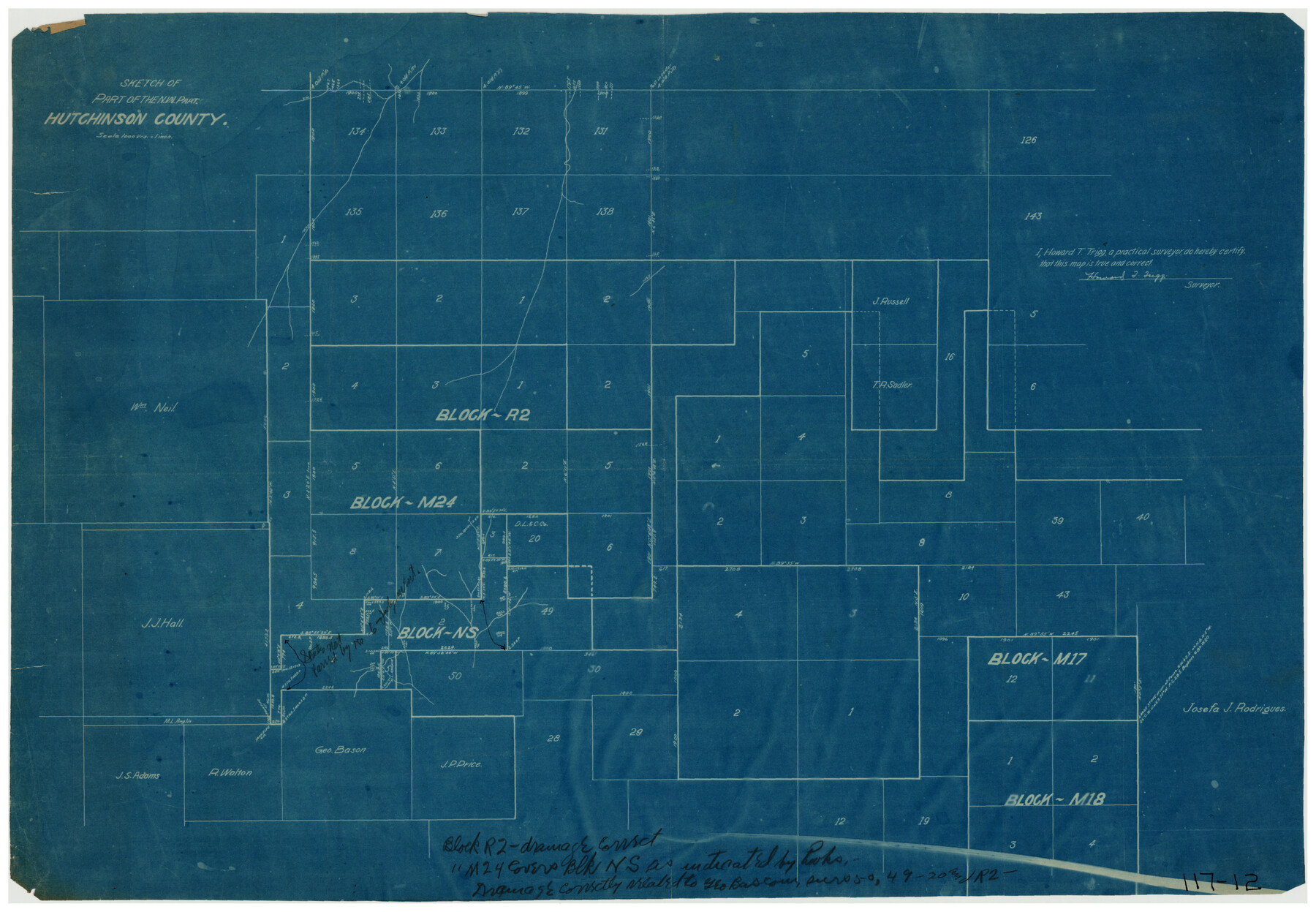
Sketch of the Northwest Portion of Hutchinson County
117-12
-
Map/Doc
91139
-
Collection
Twichell Survey Records
-
People and Organizations
Howard T. Trigg (Surveyor/Engineer)
-
Counties
Hutchinson
-
Height x Width
19.8 x 13.6 inches
50.3 x 34.5 cm
Part of: Twichell Survey Records
[Central Part of County]
![89959, [Central Part of County], Twichell Survey Records](https://historictexasmaps.com/wmedia_w700/maps/89959-1.tif.jpg)
Print $40.00
- Digital $50.00
[Central Part of County]
Size 63.1 x 34.7 inches
Map/Doc 89959
Pecos County Sketch

Print $20.00
- Digital $50.00
Pecos County Sketch
1928
Size 38.6 x 21.6 inches
Map/Doc 91616
Wilson Strickland Survey, Exhibit A

Print $20.00
- Digital $50.00
Wilson Strickland Survey, Exhibit A
Size 20.8 x 23.0 inches
Map/Doc 91368
[Sketch of Fred Turner Survey 7]
![91542, [Sketch of Fred Turner Survey 7], Twichell Survey Records](https://historictexasmaps.com/wmedia_w700/maps/91542-1.tif.jpg)
Print $2.00
- Digital $50.00
[Sketch of Fred Turner Survey 7]
1928
Size 9.0 x 12.2 inches
Map/Doc 91542
[Area Surrounding Charles Ragsdale, M. George, and H. Ward Surveys]
![91535, [Area Surrounding Charles Ragsdale, M. George, and H. Ward Surveys], Twichell Survey Records](https://historictexasmaps.com/wmedia_w700/maps/91535-1.tif.jpg)
Print $20.00
- Digital $50.00
[Area Surrounding Charles Ragsdale, M. George, and H. Ward Surveys]
Size 20.0 x 23.3 inches
Map/Doc 91535
[Chas. L. Durocher and Surrounding Surveys]
![90815, [Chas. L. Durocher and Surrounding Surveys], Twichell Survey Records](https://historictexasmaps.com/wmedia_w700/maps/90815-2.tif.jpg)
Print $20.00
- Digital $50.00
[Chas. L. Durocher and Surrounding Surveys]
1919
Size 19.7 x 27.4 inches
Map/Doc 90815
[T.& P. RR Co. Block 32 Township 4 North]
![92455, [T.& P. RR Co. Block 32 Township 4 North], Twichell Survey Records](https://historictexasmaps.com/wmedia_w700/maps/92455-1.tif.jpg)
Print $20.00
- Digital $50.00
[T.& P. RR Co. Block 32 Township 4 North]
Size 35.5 x 19.5 inches
Map/Doc 92455
[Blocks J, L, and Wilson County School Land]
![91277, [Blocks J, L, and Wilson County School Land], Twichell Survey Records](https://historictexasmaps.com/wmedia_w700/maps/91277-1.tif.jpg)
Print $20.00
- Digital $50.00
[Blocks J, L, and Wilson County School Land]
Size 15.8 x 20.4 inches
Map/Doc 91277
Block 33, Township 5 South

Print $2.00
- Digital $50.00
Block 33, Township 5 South
1875
Size 8.9 x 9.7 inches
Map/Doc 90751
[Northeast 1/4 of County]
![91629, [Northeast 1/4 of County], Twichell Survey Records](https://historictexasmaps.com/wmedia_w700/maps/91629-1.tif.jpg)
Print $2.00
- Digital $50.00
[Northeast 1/4 of County]
Size 12.3 x 9.0 inches
Map/Doc 91629
[Unknown Connecting Line]
![92040, [Unknown Connecting Line], Twichell Survey Records](https://historictexasmaps.com/wmedia_w700/maps/92040-1.tif.jpg)
Print $20.00
- Digital $50.00
[Unknown Connecting Line]
Size 28.1 x 23.0 inches
Map/Doc 92040
[Southwest corner of Runnels County School Land League 3]
![91586, [Southwest corner of Runnels County School Land League 3], Twichell Survey Records](https://historictexasmaps.com/wmedia_w700/maps/91586-1.tif.jpg)
Print $2.00
- Digital $50.00
[Southwest corner of Runnels County School Land League 3]
1927
Size 14.2 x 8.7 inches
Map/Doc 91586
You may also like
Crockett County Sketch File 84

Print $6.00
- Digital $50.00
Crockett County Sketch File 84
1942
Size 11.4 x 8.9 inches
Map/Doc 19905
Duval County Working Sketch 37

Print $20.00
- Digital $50.00
Duval County Working Sketch 37
1958
Size 23.3 x 37.1 inches
Map/Doc 68761
Flight Mission No. CRC-2R, Frame 133, Chambers County

Print $20.00
- Digital $50.00
Flight Mission No. CRC-2R, Frame 133, Chambers County
1956
Size 18.7 x 22.5 inches
Map/Doc 84749
Newton County Boundary File 1

Print $4.00
- Digital $50.00
Newton County Boundary File 1
Size 14.3 x 8.8 inches
Map/Doc 57614
Crockett County Rolled Sketch 6

Print $40.00
- Digital $50.00
Crockett County Rolled Sketch 6
Size 54.7 x 24.3 inches
Map/Doc 8690
Trinity County, Texas

Print $20.00
- Digital $50.00
Trinity County, Texas
1882
Size 20.3 x 17.4 inches
Map/Doc 485
Flight Mission No. DAG-21K, Frame 101, Matagorda County

Print $20.00
- Digital $50.00
Flight Mission No. DAG-21K, Frame 101, Matagorda County
1952
Size 18.6 x 22.4 inches
Map/Doc 86430
The Republic County of Shelby. January 28, 1839

Print $20.00
The Republic County of Shelby. January 28, 1839
2020
Size 21.1 x 21.7 inches
Map/Doc 96281
General Highway Map, Lamb County, Texas

Print $20.00
General Highway Map, Lamb County, Texas
1940
Size 24.7 x 18.3 inches
Map/Doc 79168
Falls County Sketch File 11

Print $13.00
- Digital $50.00
Falls County Sketch File 11
1859
Size 12.6 x 9.8 inches
Map/Doc 22352
[Texas, New Mexico Clark's Monument #26]
![91309, [Texas, New Mexico Clark's Monument #26], Twichell Survey Records](https://historictexasmaps.com/wmedia_w700/maps/91309-1.tif.jpg)
Print $3.00
- Digital $50.00
[Texas, New Mexico Clark's Monument #26]
1941
Size 16.1 x 7.4 inches
Map/Doc 91309
Starr County Sketch File 5

Print $40.00
- Digital $50.00
Starr County Sketch File 5
Size 31.4 x 40.7 inches
Map/Doc 82571