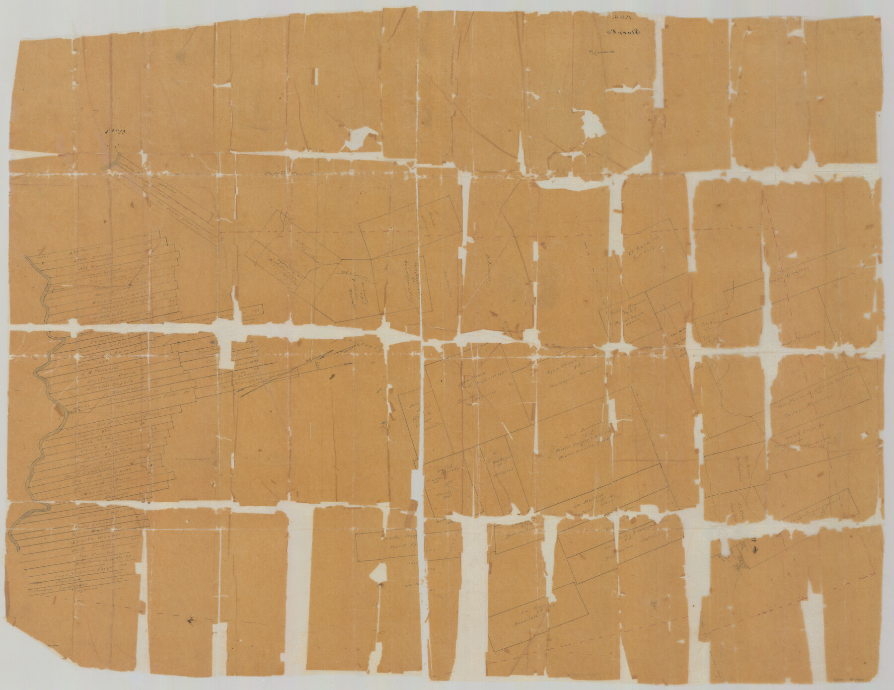
Starr County Sketch File 5
[Large sketch showing porciones and large Mexican Title grants in Starr and multiple other counties in the region]
-
Map/Doc
82571
-
Collection
General Map Collection
-
Counties
Starr Zapata Jim Hogg Hidalgo Brooks Duval
-
Subjects
Surveying Sketch File
-
Height x Width
31.4 x 40.7 inches
79.8 x 103.4 cm
-
Comments
Sketch is in very poor condition.
Part of: General Map Collection
Hamilton County Working Sketch 5

Print $20.00
- Digital $50.00
Hamilton County Working Sketch 5
1941
Size 25.5 x 20.1 inches
Map/Doc 63343
Map of Bee County

Print $20.00
- Digital $50.00
Map of Bee County
1879
Size 25.3 x 22.8 inches
Map/Doc 3288
Flight Mission No. BRE-1P, Frame 147, Nueces County

Print $20.00
- Digital $50.00
Flight Mission No. BRE-1P, Frame 147, Nueces County
1956
Size 18.5 x 22.3 inches
Map/Doc 86707
Ellis County Sketch File 6

Print $24.00
- Digital $50.00
Ellis County Sketch File 6
Size 12.3 x 8.2 inches
Map/Doc 21836
Hardeman County Aerial Photograph Index Sheet 1

Print $20.00
- Digital $50.00
Hardeman County Aerial Photograph Index Sheet 1
1950
Size 19.8 x 17.0 inches
Map/Doc 83697
San Augustine County Working Sketch 6

Print $20.00
- Digital $50.00
San Augustine County Working Sketch 6
1935
Size 22.2 x 37.9 inches
Map/Doc 63693
Reeves County Boundary File 81 1/2

Print $54.00
- Digital $50.00
Reeves County Boundary File 81 1/2
Size 9.7 x 8.3 inches
Map/Doc 58216
Terrell County Sketch File 16

Print $24.00
- Digital $50.00
Terrell County Sketch File 16
1902
Size 12.1 x 8.8 inches
Map/Doc 37924
Rusk County Rolled Sketch 8A

Print $20.00
- Digital $50.00
Rusk County Rolled Sketch 8A
Size 22.4 x 26.2 inches
Map/Doc 7545
Fort Bend County Sketch File 18 1/2

Print $20.00
- Digital $50.00
Fort Bend County Sketch File 18 1/2
1896
Size 18.3 x 15.3 inches
Map/Doc 11508
Haskell County Rolled Sketch 7

Print $20.00
- Digital $50.00
Haskell County Rolled Sketch 7
1940
Size 22.0 x 26.5 inches
Map/Doc 6167
Val Verde County Sketch File 7

Print $6.00
- Digital $50.00
Val Verde County Sketch File 7
1877
Size 16.9 x 9.7 inches
Map/Doc 39196
You may also like
Map of North America designed to accompany Smith's Geography for Schools

Print $20.00
- Digital $50.00
Map of North America designed to accompany Smith's Geography for Schools
1850
Size 12.0 x 9.9 inches
Map/Doc 93883
Flight Mission No. CLL-3N, Frame 5, Willacy County

Print $20.00
- Digital $50.00
Flight Mission No. CLL-3N, Frame 5, Willacy County
1954
Size 18.4 x 22.1 inches
Map/Doc 87071
Kent County Boundary File 9

Print $8.00
- Digital $50.00
Kent County Boundary File 9
Size 14.1 x 8.8 inches
Map/Doc 55883
Limestone County Working Sketch Graphic Index

Print $20.00
- Digital $50.00
Limestone County Working Sketch Graphic Index
1971
Size 47.8 x 32.9 inches
Map/Doc 76621
United States - Gulf Coast - From Latitude 26° 33' to the Rio Grande Texas

Print $20.00
- Digital $50.00
United States - Gulf Coast - From Latitude 26° 33' to the Rio Grande Texas
1918
Size 27.1 x 18.4 inches
Map/Doc 72852
Harris County Working Sketch 107

Print $20.00
- Digital $50.00
Harris County Working Sketch 107
1981
Size 46.0 x 28.1 inches
Map/Doc 65999
Flight Mission No. DQN-1K, Frame 29, Calhoun County

Print $20.00
- Digital $50.00
Flight Mission No. DQN-1K, Frame 29, Calhoun County
1953
Size 15.5 x 15.3 inches
Map/Doc 84134
Comanche County Sketch File 14

Print $4.00
- Digital $50.00
Comanche County Sketch File 14
1859
Size 8.4 x 12.9 inches
Map/Doc 19078
Hall County Sketch File B1

Print $20.00
- Digital $50.00
Hall County Sketch File B1
1904
Size 23.4 x 25.4 inches
Map/Doc 11612
Upton County Sketch File 43

Print $22.00
- Digital $50.00
Upton County Sketch File 43
1988
Size 11.4 x 8.8 inches
Map/Doc 38920
Flight Mission No. DIX-8P, Frame 72, Aransas County

Print $20.00
- Digital $50.00
Flight Mission No. DIX-8P, Frame 72, Aransas County
1956
Size 18.7 x 22.4 inches
Map/Doc 83903
