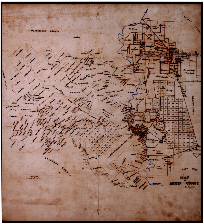
[Gunter & Munson and Surrounding Surveys]
117-17
-
Map/Doc
91238
-
Collection
Twichell Survey Records
-
Counties
Hutchinson
-
Height x Width
16.3 x 21.4 inches
41.4 x 54.4 cm
Part of: Twichell Survey Records
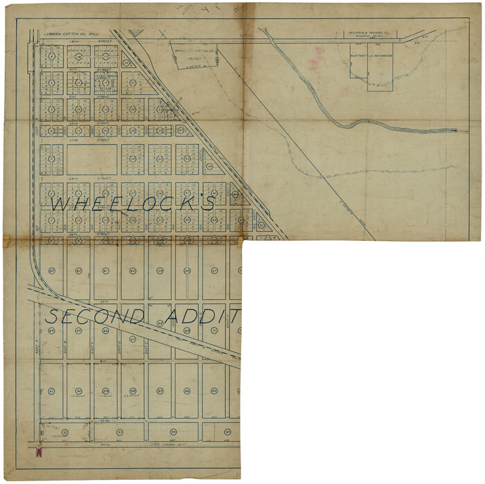
Wheelock's Second Addit(ion)

Print $20.00
- Digital $50.00
Wheelock's Second Addit(ion)
Size 31.5 x 32.3 inches
Map/Doc 92820
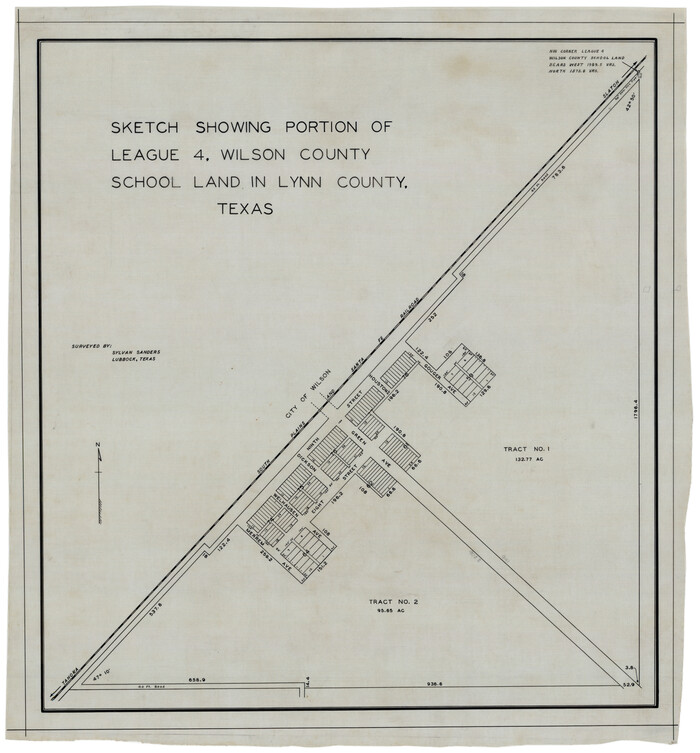
Sketch Showing Portion of League 4, Wilson County School Land in Lynn County

Print $20.00
- Digital $50.00
Sketch Showing Portion of League 4, Wilson County School Land in Lynn County
Size 20.9 x 22.6 inches
Map/Doc 92941
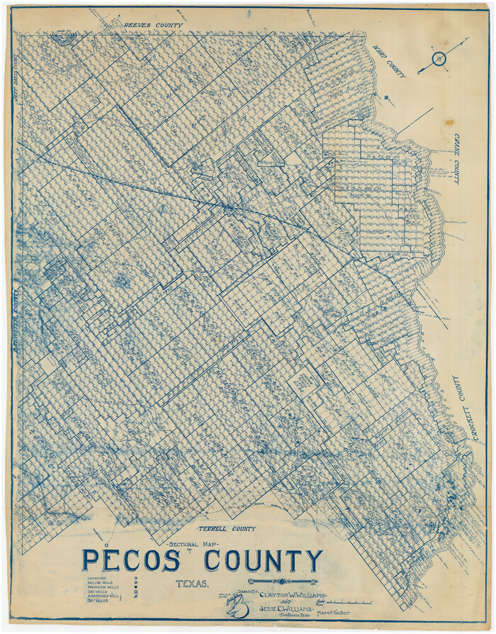
Sectional Map of Pecos County, Texas

Print $20.00
- Digital $50.00
Sectional Map of Pecos County, Texas
1927
Size 36.5 x 46.4 inches
Map/Doc 89878
[G. C. & S. F. Railroad Company Block H2, Town of Adrian, and Vicinity]
![91439, [G. C. & S. F. Railroad Company Block H2, Town of Adrian, and Vicinity], Twichell Survey Records](https://historictexasmaps.com/wmedia_w700/maps/91439-1.tif.jpg)
![91439, [G. C. & S. F. Railroad Company Block H2, Town of Adrian, and Vicinity], Twichell Survey Records](https://historictexasmaps.com/wmedia_w700/maps/91439-1.tif.jpg)
Print $20.00
- Digital $50.00
[G. C. & S. F. Railroad Company Block H2, Town of Adrian, and Vicinity]
Size 24.4 x 15.8 inches
Map/Doc 91439
Sketch in Cochran County, Texas


Print $20.00
- Digital $50.00
Sketch in Cochran County, Texas
1949
Size 22.4 x 21.6 inches
Map/Doc 92523
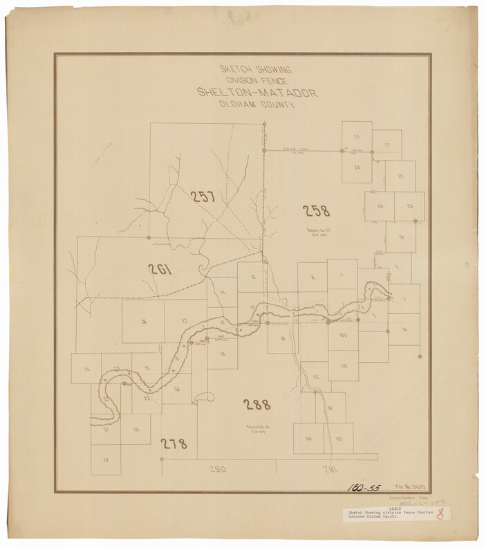
Sketch Showing Division Fence Shelton-Matador

Print $20.00
- Digital $50.00
Sketch Showing Division Fence Shelton-Matador
Size 21.3 x 24.1 inches
Map/Doc 91446
Reconnaissance Map, Roby Sheet


Print $20.00
- Digital $50.00
Reconnaissance Map, Roby Sheet
1893
Size 17.0 x 20.8 inches
Map/Doc 90869
[Sketch showing positions of surveys bordering on South boundary line of Archer County and North boundary line of Young County


Print $20.00
- Digital $50.00
[Sketch showing positions of surveys bordering on South boundary line of Archer County and North boundary line of Young County
1894
Size 14.0 x 36.8 inches
Map/Doc 90174
[Public School Land Blocks]
![93153, [Public School Land Blocks], Twichell Survey Records](https://historictexasmaps.com/wmedia_w700/maps/93153-1.tif.jpg)
![93153, [Public School Land Blocks], Twichell Survey Records](https://historictexasmaps.com/wmedia_w700/maps/93153-1.tif.jpg)
Print $40.00
- Digital $50.00
[Public School Land Blocks]
Size 56.3 x 74.8 inches
Map/Doc 93153
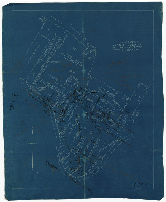
Working Sketch in Travis County

Print $20.00
- Digital $50.00
Working Sketch in Travis County
1923
Size 15.4 x 18.6 inches
Map/Doc 91866
You may also like
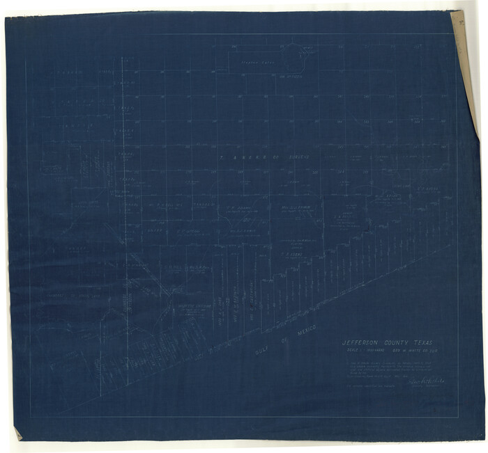
Jefferson County Rolled Sketch 6

Print $20.00
- Digital $50.00
Jefferson County Rolled Sketch 6
1916
Size 34.2 x 36.7 inches
Map/Doc 9271
Liberty County Working Sketch 18


Print $20.00
- Digital $50.00
Liberty County Working Sketch 18
1939
Size 20.5 x 20.4 inches
Map/Doc 70477
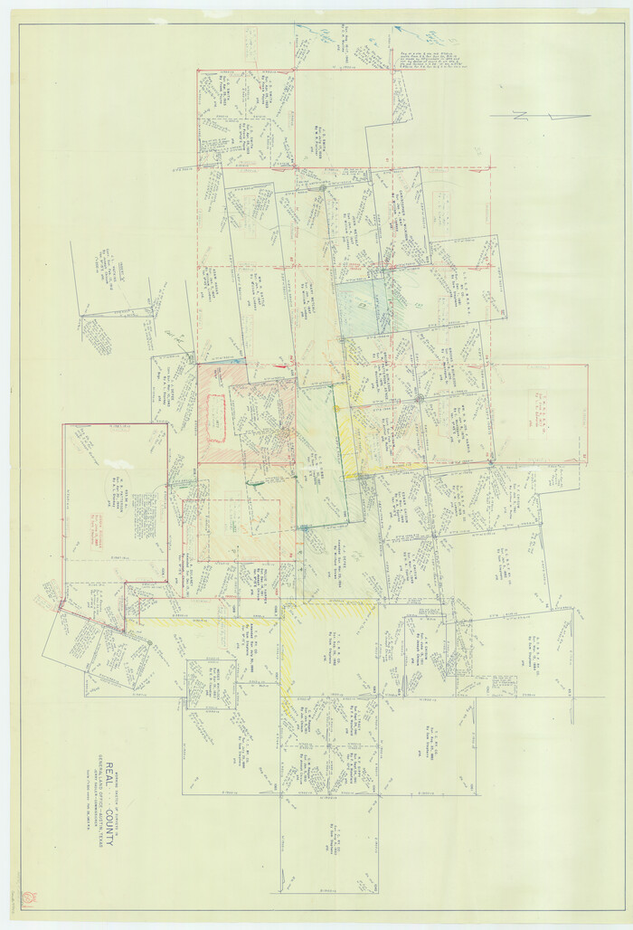
Real County Working Sketch 60

Print $40.00
- Digital $50.00
Real County Working Sketch 60
1963
Size 60.4 x 41.1 inches
Map/Doc 71952
La Salle County Rolled Sketch 19


Print $20.00
- Digital $50.00
La Salle County Rolled Sketch 19
1953
Size 31.8 x 30.0 inches
Map/Doc 6583
Ward County Rolled Sketch 17
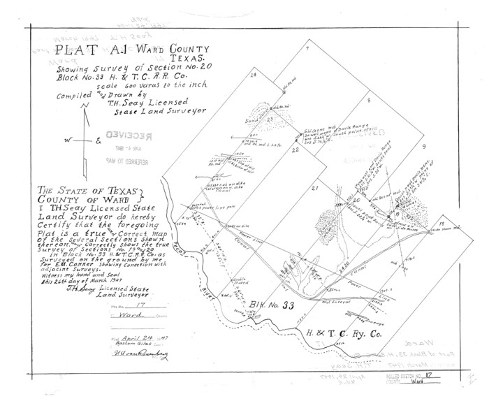

Print $20.00
- Digital $50.00
Ward County Rolled Sketch 17
1947
Size 16.2 x 19.5 inches
Map/Doc 8160
Fort Bend County Sketch File 4


Print $4.00
- Digital $50.00
Fort Bend County Sketch File 4
1876
Size 10.0 x 8.4 inches
Map/Doc 22885
Current Miscellaneous File 30
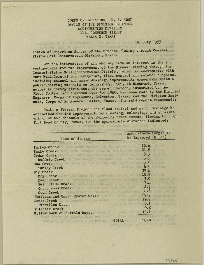

Print $8.00
- Digital $50.00
Current Miscellaneous File 30
1953
Size 10.6 x 8.2 inches
Map/Doc 73925
General Highway Map, Sabine County, Texas
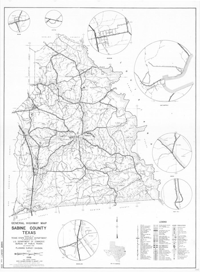

Print $20.00
General Highway Map, Sabine County, Texas
1961
Size 24.6 x 18.1 inches
Map/Doc 79644
Flight Mission No. DCL-7C, Frame 79, Kenedy County
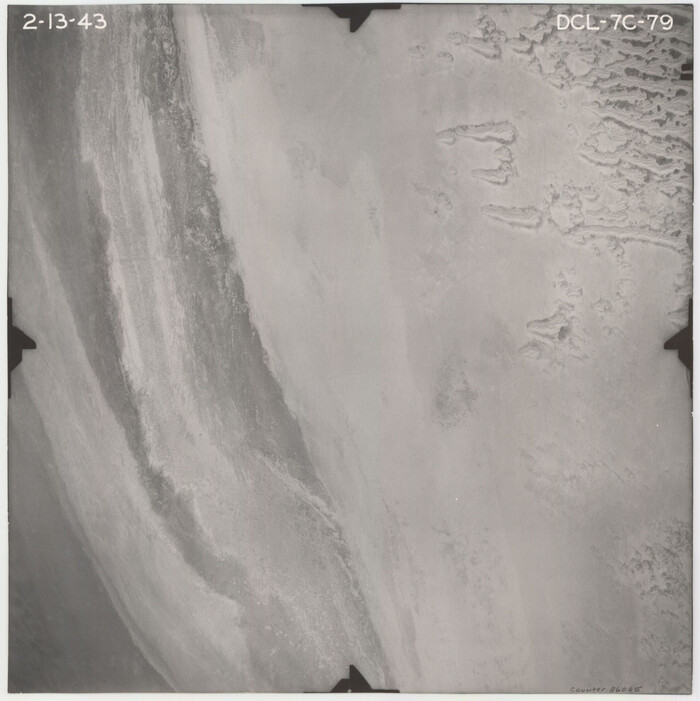

Print $20.00
- Digital $50.00
Flight Mission No. DCL-7C, Frame 79, Kenedy County
1943
Size 15.2 x 15.2 inches
Map/Doc 86065
Colorado County Working Sketch 9


Print $20.00
- Digital $50.00
Colorado County Working Sketch 9
1939
Size 12.0 x 15.7 inches
Map/Doc 68109
![91238, [Gunter & Munson and Surrounding Surveys], Twichell Survey Records](https://historictexasmaps.com/wmedia_w1800h1800/maps/91238-1.tif.jpg)
![90328, [Block B9], Twichell Survey Records](https://historictexasmaps.com/wmedia_w700/maps/90328-1.tif.jpg)
![90609, [Block K11], Twichell Survey Records](https://historictexasmaps.com/wmedia_w700/maps/90609-1.tif.jpg)
![92953, [Terry County], Twichell Survey Records](https://historictexasmaps.com/wmedia_w700/maps/92953-1.tif.jpg)
