[Part of Eastern Texas RR. Co. Block 1]
209-4
-
Map/Doc
91897
-
Collection
Twichell Survey Records
-
Counties
Shackelford
-
Height x Width
12.0 x 16.2 inches
30.5 x 41.2 cm
Part of: Twichell Survey Records
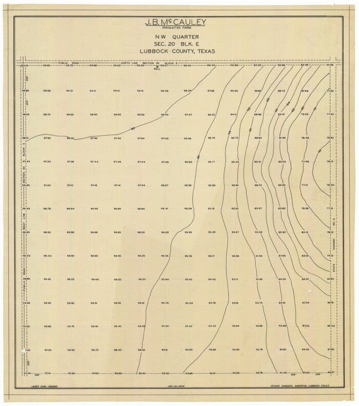
J. B. McCauley Irrigated Farm NW Quarter Section 20, Block E

Print $20.00
- Digital $50.00
J. B. McCauley Irrigated Farm NW Quarter Section 20, Block E
1944
Size 20.5 x 23.0 inches
Map/Doc 92334
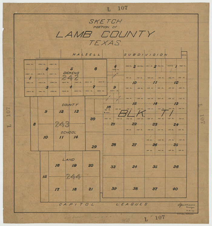
Sketch Portion of Lamb County, Texas

Print $20.00
- Digital $50.00
Sketch Portion of Lamb County, Texas
1924
Size 19.9 x 21.4 inches
Map/Doc 92176
[North County Line]
![90522, [North County Line], Twichell Survey Records](https://historictexasmaps.com/wmedia_w700/maps/90522-1.tif.jpg)
![90522, [North County Line], Twichell Survey Records](https://historictexasmaps.com/wmedia_w700/maps/90522-1.tif.jpg)
Print $20.00
- Digital $50.00
[North County Line]
Size 18.5 x 7.0 inches
Map/Doc 90522
[Leagues in Northwest Lamb County]
![91073, [Leagues in Northwest Lamb County], Twichell Survey Records](https://historictexasmaps.com/wmedia_w700/maps/91073-1.tif.jpg)
![91073, [Leagues in Northwest Lamb County], Twichell Survey Records](https://historictexasmaps.com/wmedia_w700/maps/91073-1.tif.jpg)
Print $20.00
- Digital $50.00
[Leagues in Northwest Lamb County]
Size 19.5 x 23.2 inches
Map/Doc 91073
[Blocks 44, 6T, 26, B10, and B12]
![91528, [Blocks 44, 6T, 26, B10, and B12], Twichell Survey Records](https://historictexasmaps.com/wmedia_w700/maps/91528-1.tif.jpg)
![91528, [Blocks 44, 6T, 26, B10, and B12], Twichell Survey Records](https://historictexasmaps.com/wmedia_w700/maps/91528-1.tif.jpg)
Print $20.00
- Digital $50.00
[Blocks 44, 6T, 26, B10, and B12]
Size 19.7 x 15.8 inches
Map/Doc 91528
[Sketch showing parts of Blocks 3, 5, 22, M-20, S, T and Block BB, surveys 1, 2 and 3]
![91730, [Sketch showing parts of Blocks 3, 5, 22, M-20, S, T and Block BB, surveys 1, 2 and 3], Twichell Survey Records](https://historictexasmaps.com/wmedia_w700/maps/91730-1.tif.jpg)
![91730, [Sketch showing parts of Blocks 3, 5, 22, M-20, S, T and Block BB, surveys 1, 2 and 3], Twichell Survey Records](https://historictexasmaps.com/wmedia_w700/maps/91730-1.tif.jpg)
Print $20.00
- Digital $50.00
[Sketch showing parts of Blocks 3, 5, 22, M-20, S, T and Block BB, surveys 1, 2 and 3]
Size 15.5 x 15.9 inches
Map/Doc 91730
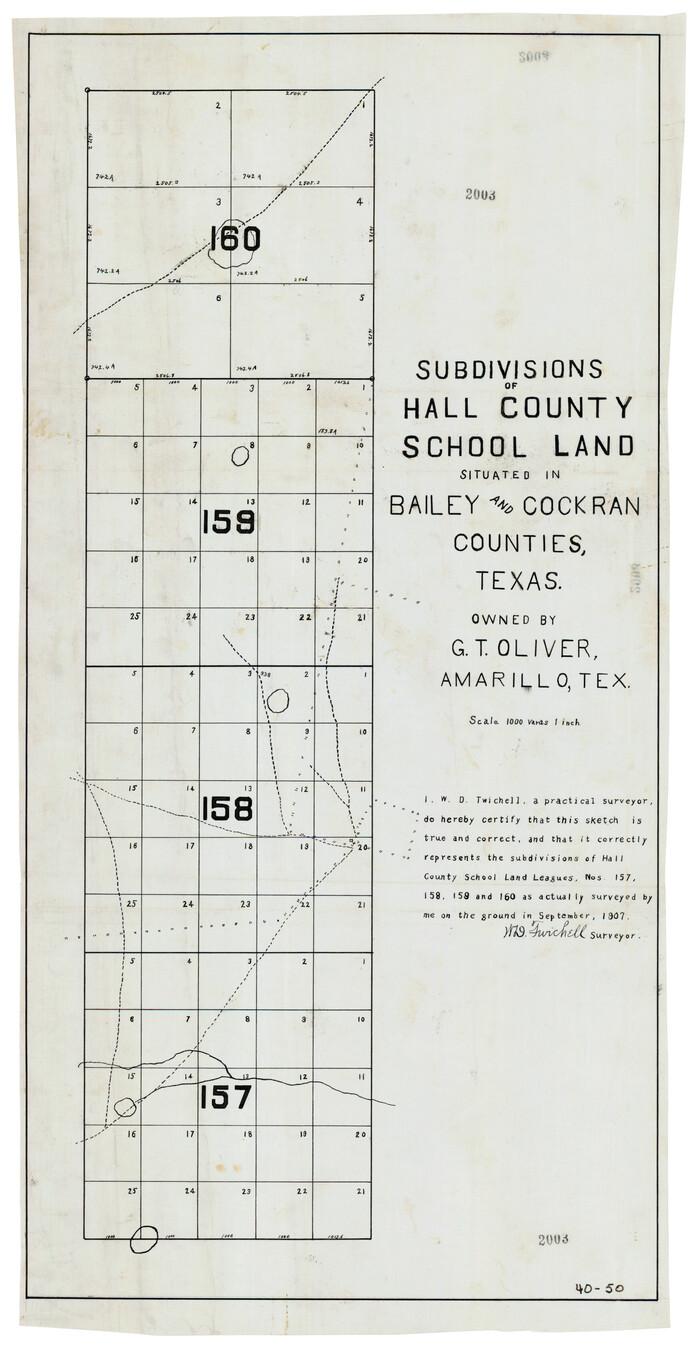
Subdivisions of Hall County School Land situated in Bailey and Cockran (sic) Counties, Texas owned by G. T. Oliver, Amarillo, Tex.

Print $2.00
- Digital $50.00
Subdivisions of Hall County School Land situated in Bailey and Cockran (sic) Counties, Texas owned by G. T. Oliver, Amarillo, Tex.
1907
Size 8.2 x 15.7 inches
Map/Doc 90477
Map of Deaf Smith County, Texas


Print $2.00
- Digital $50.00
Map of Deaf Smith County, Texas
Size 11.6 x 8.9 inches
Map/Doc 90509
[H. & G. N. RR. Company, Block 1 and Vicinity]
![91232, [H. & G. N. RR. Company, Block 1 and Vicinity], Twichell Survey Records](https://historictexasmaps.com/wmedia_w700/maps/91232-1.tif.jpg)
![91232, [H. & G. N. RR. Company, Block 1 and Vicinity], Twichell Survey Records](https://historictexasmaps.com/wmedia_w700/maps/91232-1.tif.jpg)
Print $20.00
- Digital $50.00
[H. & G. N. RR. Company, Block 1 and Vicinity]
Size 14.1 x 17.7 inches
Map/Doc 91232
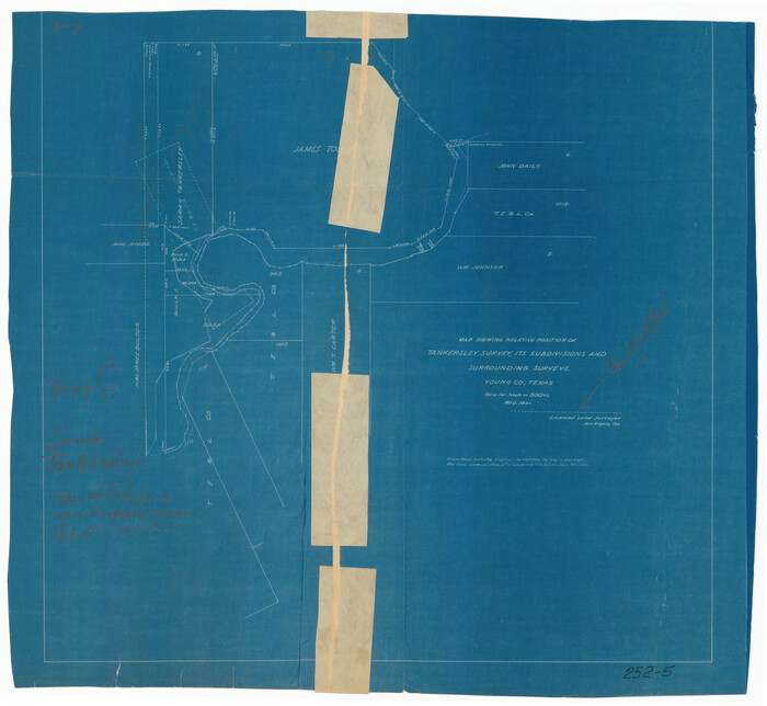
Map Showing Relative Position of Tankersley Survey, its Subdivisions and Surrounding Surveys, Young County, Texas

Print $20.00
- Digital $50.00
Map Showing Relative Position of Tankersley Survey, its Subdivisions and Surrounding Surveys, Young County, Texas
1921
Size 22.3 x 20.3 inches
Map/Doc 92020
Section 160, Block G, Gaines County, Texas


Print $20.00
- Digital $50.00
Section 160, Block G, Gaines County, Texas
1958
Size 17.1 x 19.3 inches
Map/Doc 92679
Sketch Showing Original Corners and Connections affecting Blocks T1, T2, and T3 in Lamb and Castro Counties, Texas


Print $20.00
- Digital $50.00
Sketch Showing Original Corners and Connections affecting Blocks T1, T2, and T3 in Lamb and Castro Counties, Texas
Size 17.3 x 29.1 inches
Map/Doc 92982
You may also like
Hardin County Working Sketch 9
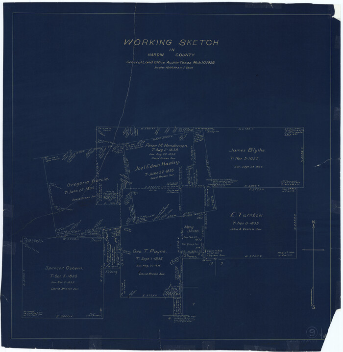

Print $20.00
- Digital $50.00
Hardin County Working Sketch 9
1928
Size 21.7 x 21.1 inches
Map/Doc 63407
Wichita County Working Sketch 26


Print $20.00
- Digital $50.00
Wichita County Working Sketch 26
1981
Size 13.1 x 21.0 inches
Map/Doc 72536
[T. & P. Block 44, Township 1S]
![90825, [T. & P. Block 44, Township 1S], Twichell Survey Records](https://historictexasmaps.com/wmedia_w700/maps/90825-2.tif.jpg)
![90825, [T. & P. Block 44, Township 1S], Twichell Survey Records](https://historictexasmaps.com/wmedia_w700/maps/90825-2.tif.jpg)
Print $20.00
- Digital $50.00
[T. & P. Block 44, Township 1S]
Size 17.9 x 23.3 inches
Map/Doc 90825
Flight Mission No. DQN-2K, Frame 162, Calhoun County
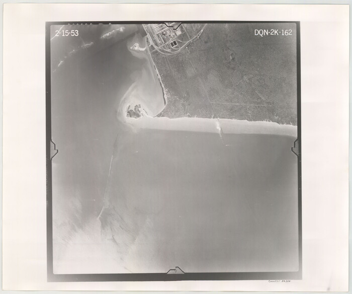

Print $20.00
- Digital $50.00
Flight Mission No. DQN-2K, Frame 162, Calhoun County
1953
Size 18.5 x 22.2 inches
Map/Doc 84324
Flight Mission No. CRC-2R, Frame 194, Chambers County


Print $20.00
- Digital $50.00
Flight Mission No. CRC-2R, Frame 194, Chambers County
1956
Size 18.8 x 22.6 inches
Map/Doc 84772
Burnet County Sketch File 44
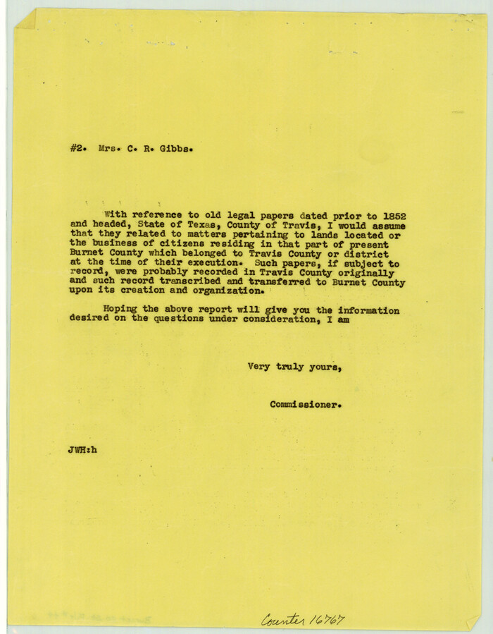

Print $10.00
- Digital $50.00
Burnet County Sketch File 44
1936
Size 11.3 x 8.8 inches
Map/Doc 16767
Refugio County Sketch File 7


Print $4.00
- Digital $50.00
Refugio County Sketch File 7
1875
Size 12.1 x 7.6 inches
Map/Doc 35251
Upton County Rolled Sketch 44


Print $40.00
- Digital $50.00
Upton County Rolled Sketch 44
1955
Size 43.2 x 55.4 inches
Map/Doc 75945
Harris County Rolled Sketch WD


Print $40.00
- Digital $50.00
Harris County Rolled Sketch WD
1936
Size 43.1 x 66.7 inches
Map/Doc 9125
S. M. S. Throckmorton Ranch, Throckmorton, Haskell, Baylor Cos.


Print $20.00
- Digital $50.00
S. M. S. Throckmorton Ranch, Throckmorton, Haskell, Baylor Cos.
1955
Size 33.8 x 45.1 inches
Map/Doc 2104
Sherman County Boundary File 3

Print $55.00
- Digital $50.00
Sherman County Boundary File 3
Size 9.2 x 8.6 inches
Map/Doc 58773
Live Oak County Rolled Sketch 5
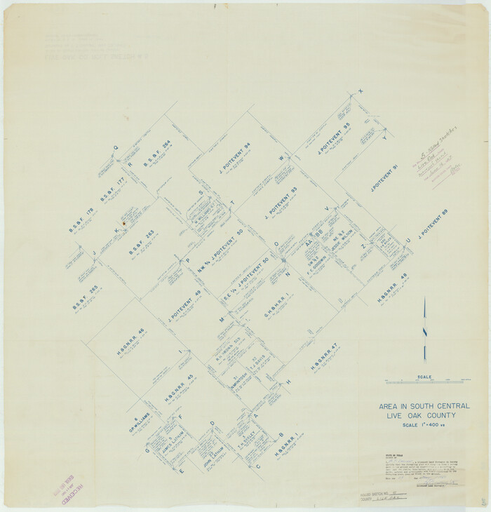

Print $20.00
- Digital $50.00
Live Oak County Rolled Sketch 5
1947
Size 33.6 x 32.2 inches
Map/Doc 9454
![91897, [Part of Eastern Texas RR. Co. Block 1], Twichell Survey Records](https://historictexasmaps.com/wmedia_w1800h1800/maps/91897-1.tif.jpg)