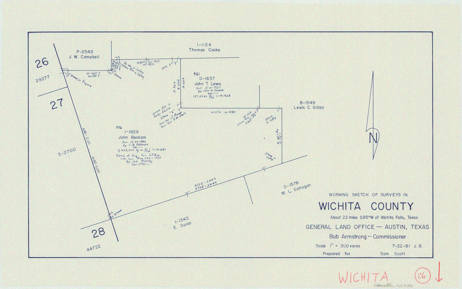
Wichita County Working Sketch 26
-
Map/Doc
72536
-
Collection
General Map Collection
-
Object Dates
7/22/1981 (Creation Date)
-
People and Organizations
Jana Brod (Draftsman)
-
Counties
Wichita
-
Subjects
Surveying Working Sketch
-
Height x Width
13.1 x 21.0 inches
33.3 x 53.3 cm
-
Scale
1" = 300 varas
Part of: General Map Collection
San Jacinto River and Tributaries, Texas - Survey of 1939

Print $20.00
- Digital $50.00
San Jacinto River and Tributaries, Texas - Survey of 1939
1939
Size 27.7 x 40.4 inches
Map/Doc 60309
Trinity River, Levee Improvement Districts, Widths of Floodways

Print $20.00
- Digital $50.00
Trinity River, Levee Improvement Districts, Widths of Floodways
1923
Size 37.6 x 28.2 inches
Map/Doc 65253
Coke County Sketch File AB

Print $12.00
- Digital $50.00
Coke County Sketch File AB
1884
Size 14.1 x 8.7 inches
Map/Doc 18608
Nacogdoches County Working Sketch 1

Print $20.00
- Digital $50.00
Nacogdoches County Working Sketch 1
Size 27.8 x 35.8 inches
Map/Doc 71217

Americæ Nova Tabula

Print $20.00
- Digital $50.00
Americæ Nova Tabula
1633
Size 15.3 x 18.7 inches
Map/Doc 95827
Hardin County Sketch File 19

Print $6.00
- Digital $50.00
Hardin County Sketch File 19
Size 13.0 x 10.9 inches
Map/Doc 25135
Prison Property, Walker County

Print $20.00
- Digital $50.00
Prison Property, Walker County
Size 32.6 x 22.7 inches
Map/Doc 94279
Hood County Sketch File 17

Print $4.00
- Digital $50.00
Hood County Sketch File 17
1860
Size 8.2 x 9.4 inches
Map/Doc 26599
Tarrant County Sketch File 36

Print $56.00
- Digital $50.00
Tarrant County Sketch File 36
2018
Size 11.0 x 8.5 inches
Map/Doc 95395
Archer County Working Sketch Graphic Index

Print $20.00
- Digital $50.00
Archer County Working Sketch Graphic Index
1926
Size 46.7 x 39.4 inches
Map/Doc 76456
Andrews County Rolled Sketch 9

Print $20.00
- Digital $50.00
Andrews County Rolled Sketch 9
1930
Size 25.3 x 43.6 inches
Map/Doc 77160
You may also like
Flight Mission No. BRA-7M, Frame 16, Jefferson County

Print $20.00
- Digital $50.00
Flight Mission No. BRA-7M, Frame 16, Jefferson County
1953
Size 18.5 x 22.2 inches
Map/Doc 85467
[Sketch showing conflict between G. C. & S. F. Ry. Co. Block 194 and State University Blocks 16 and 17]
![91627, [Sketch showing conflict between G. C. & S. F. Ry. Co. Block 194 and State University Blocks 16 and 17], Twichell Survey Records](https://historictexasmaps.com/wmedia_w700/maps/91627-1.tif.jpg)
Print $3.00
- Digital $50.00
[Sketch showing conflict between G. C. & S. F. Ry. Co. Block 194 and State University Blocks 16 and 17]
1900
Size 11.1 x 12.1 inches
Map/Doc 91627
[Right of Way and Track Map, the Missouri, Kansas and Texas Ry. of Texas - Henrietta Division]
![64760, [Right of Way and Track Map, the Missouri, Kansas and Texas Ry. of Texas - Henrietta Division], General Map Collection](https://historictexasmaps.com/wmedia_w700/maps/64760.tif.jpg)
Print $20.00
- Digital $50.00
[Right of Way and Track Map, the Missouri, Kansas and Texas Ry. of Texas - Henrietta Division]
1918
Size 11.8 x 26.9 inches
Map/Doc 64760
Navarro County Sketch File 3

Print $8.00
- Digital $50.00
Navarro County Sketch File 3
1847
Size 10.2 x 8.1 inches
Map/Doc 32300
Flight Mission No. BQY-4M, Frame 68, Harris County

Print $20.00
- Digital $50.00
Flight Mission No. BQY-4M, Frame 68, Harris County
1953
Size 18.6 x 22.4 inches
Map/Doc 85277
Flight Mission No. CUG-2P, Frame 10, Kleberg County

Print $20.00
- Digital $50.00
Flight Mission No. CUG-2P, Frame 10, Kleberg County
1956
Size 18.7 x 22.3 inches
Map/Doc 86182
Exhibit E, Robert Violette M. A. 34719, Gaines County, Texas

Print $40.00
- Digital $50.00
Exhibit E, Robert Violette M. A. 34719, Gaines County, Texas
Size 85.9 x 24.3 inches
Map/Doc 93134
A2 - Part of the Boundary between the United States and Texas from Sabine River Northward to the 36th mile mound

Print $20.00
- Digital $50.00
A2 - Part of the Boundary between the United States and Texas from Sabine River Northward to the 36th mile mound
Size 28.5 x 22.0 inches
Map/Doc 94003
Blanco County Working Sketch Graphic Index

Print $20.00
- Digital $50.00
Blanco County Working Sketch Graphic Index
1965
Size 43.1 x 33.6 inches
Map/Doc 76467
King County Rolled Sketch 12

Print $20.00
- Digital $50.00
King County Rolled Sketch 12
1955
Size 40.9 x 45.7 inches
Map/Doc 9352
Foard County Sketch File 14

Print $4.00
- Digital $50.00
Foard County Sketch File 14
1885
Size 14.4 x 8.8 inches
Map/Doc 22819
Angelina County Working Sketch 52

Print $20.00
- Digital $50.00
Angelina County Working Sketch 52
1978
Size 20.8 x 20.3 inches
Map/Doc 67136