[Area between H. & T. C. Block 34, PSL Block B19 and University Lands Block 16]
238-20
-
Map/Doc
91957
-
Collection
Twichell Survey Records
-
Object Dates
9/7/1929 (Creation Date)
-
People and Organizations
D.W. Boren (Surveyor/Engineer)
-
Counties
Ward
-
Height x Width
40.4 x 29.3 inches
102.6 x 74.4 cm
Part of: Twichell Survey Records
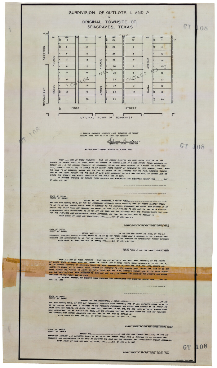
Subdivision of Outlots 1 and 2 in Original Townsite of Seagraves, Texas

Print $20.00
- Digital $50.00
Subdivision of Outlots 1 and 2 in Original Townsite of Seagraves, Texas
1955
Size 17.3 x 29.1 inches
Map/Doc 92688
Counties of Martin, Dawson, Borden, and Howard, Texas Soash Lands, Big Springs Ranch


Print $20.00
- Digital $50.00
Counties of Martin, Dawson, Borden, and Howard, Texas Soash Lands, Big Springs Ranch
Size 35.3 x 39.0 inches
Map/Doc 91224
[Block W, A4, & Part of CL, East Line Sabine County School Land]
![90699, [Block W, A4, & Part of CL, East Line Sabine County School Land], Twichell Survey Records](https://historictexasmaps.com/wmedia_w700/maps/90699-1.tif.jpg)
![90699, [Block W, A4, & Part of CL, East Line Sabine County School Land], Twichell Survey Records](https://historictexasmaps.com/wmedia_w700/maps/90699-1.tif.jpg)
Print $20.00
- Digital $50.00
[Block W, A4, & Part of CL, East Line Sabine County School Land]
Size 27.5 x 16.6 inches
Map/Doc 90699
[H. & G. N. RR. Co. Block 1]
![90890, [H. & G. N. RR. Co. Block 1], Twichell Survey Records](https://historictexasmaps.com/wmedia_w700/maps/90890-1.tif.jpg)
![90890, [H. & G. N. RR. Co. Block 1], Twichell Survey Records](https://historictexasmaps.com/wmedia_w700/maps/90890-1.tif.jpg)
Print $20.00
- Digital $50.00
[H. & G. N. RR. Co. Block 1]
Size 17.1 x 28.0 inches
Map/Doc 90890
Deaf Smith County


Print $40.00
- Digital $50.00
Deaf Smith County
1922
Size 55.0 x 43.9 inches
Map/Doc 89768
[Blocks XO3 and I]
![91167, [Blocks XO3 and I], Twichell Survey Records](https://historictexasmaps.com/wmedia_w700/maps/91167-1.tif.jpg)
![91167, [Blocks XO3 and I], Twichell Survey Records](https://historictexasmaps.com/wmedia_w700/maps/91167-1.tif.jpg)
Print $2.00
- Digital $50.00
[Blocks XO3 and I]
Size 6.5 x 11.8 inches
Map/Doc 91167
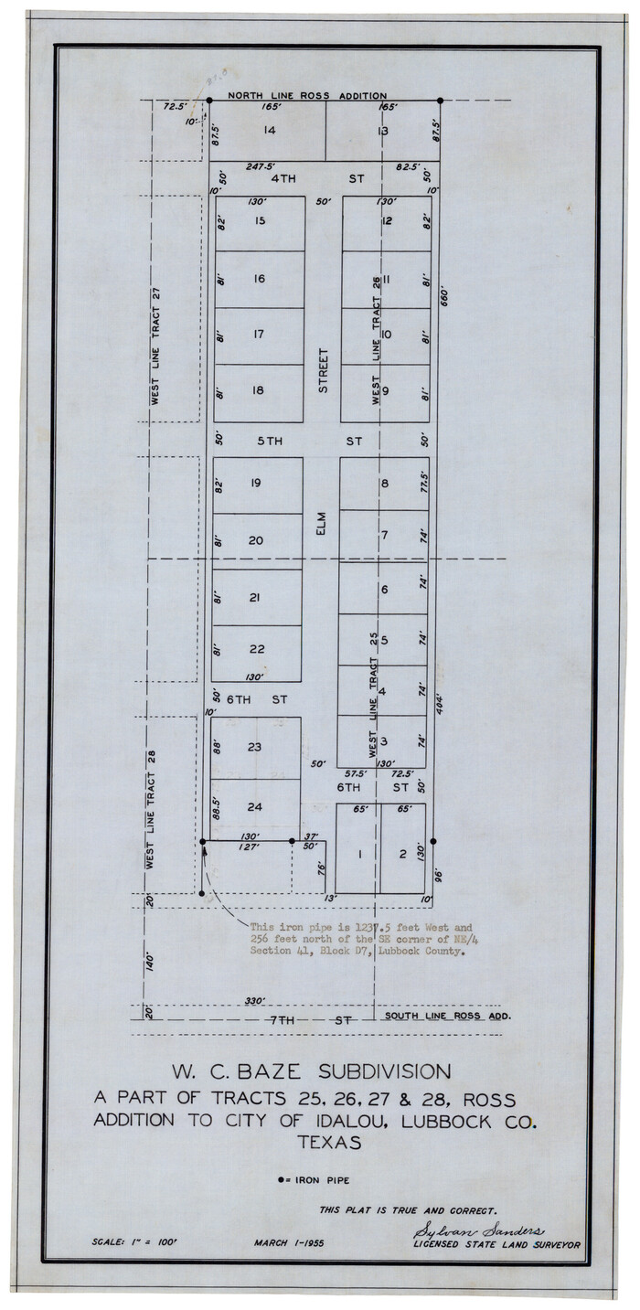
W. C. Baze Subdivision a part of Tracts 25, 26, 27 and 28, Ross Addition to City of Idalou, Lubbock Co.

Print $20.00
- Digital $50.00
W. C. Baze Subdivision a part of Tracts 25, 26, 27 and 28, Ross Addition to City of Idalou, Lubbock Co.
1955
Size 9.2 x 18.9 inches
Map/Doc 92761
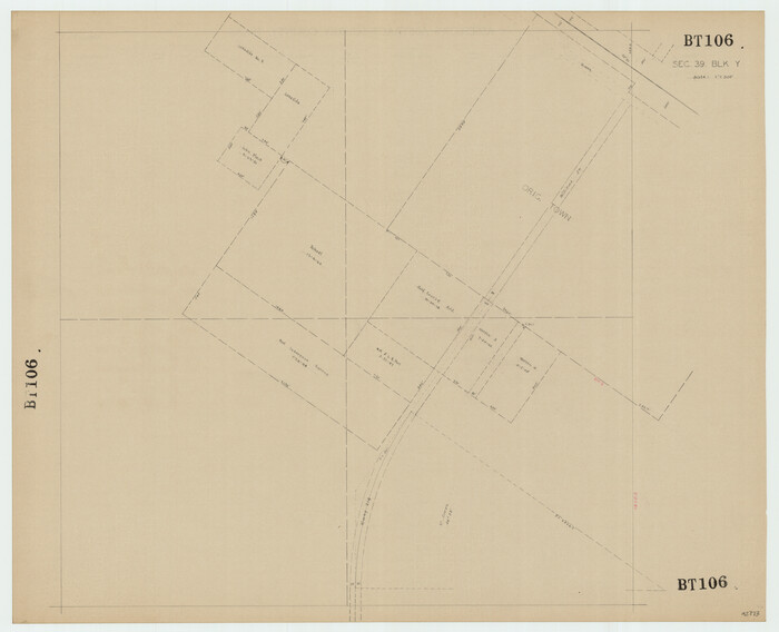
Section 39 Block Y

Print $20.00
- Digital $50.00
Section 39 Block Y
Size 23.9 x 19.4 inches
Map/Doc 92463
Crosbyton (Jeff Williams Plan)


Print $20.00
- Digital $50.00
Crosbyton (Jeff Williams Plan)
Size 26.0 x 18.2 inches
Map/Doc 92126
[Sketch showing Block 154]
![91738, [Sketch showing Block 154], Twichell Survey Records](https://historictexasmaps.com/wmedia_w700/maps/91738-1.tif.jpg)
![91738, [Sketch showing Block 154], Twichell Survey Records](https://historictexasmaps.com/wmedia_w700/maps/91738-1.tif.jpg)
Print $20.00
- Digital $50.00
[Sketch showing Block 154]
Size 22.4 x 21.5 inches
Map/Doc 91738
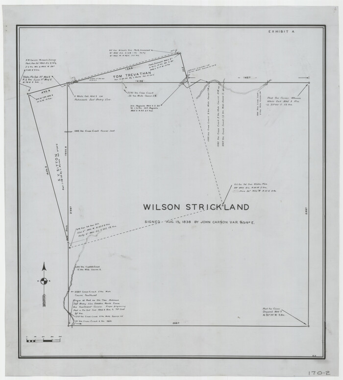
Wilson Strickland Survey, Exhibit A

Print $20.00
- Digital $50.00
Wilson Strickland Survey, Exhibit A
Size 20.8 x 23.0 inches
Map/Doc 91368
Working Sketch in Childress County


Print $20.00
- Digital $50.00
Working Sketch in Childress County
1910
Size 6.6 x 23.3 inches
Map/Doc 90425
You may also like
Terrell County Working Sketch 44


Print $40.00
- Digital $50.00
Terrell County Working Sketch 44
1957
Size 40.0 x 71.4 inches
Map/Doc 62137
Culberson County Rolled Sketch 50


Print $20.00
- Digital $50.00
Culberson County Rolled Sketch 50
1963
Size 19.3 x 25.0 inches
Map/Doc 5669
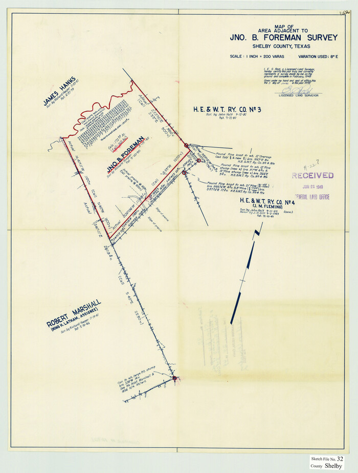
Shelby County Sketch File 32

Print $20.00
- Digital $50.00
Shelby County Sketch File 32
1949
Size 23.4 x 17.7 inches
Map/Doc 12321
2016 Official Travel Map, Texas


2016 Official Travel Map, Texas
Size 33.3 x 36.2 inches
Map/Doc 94298
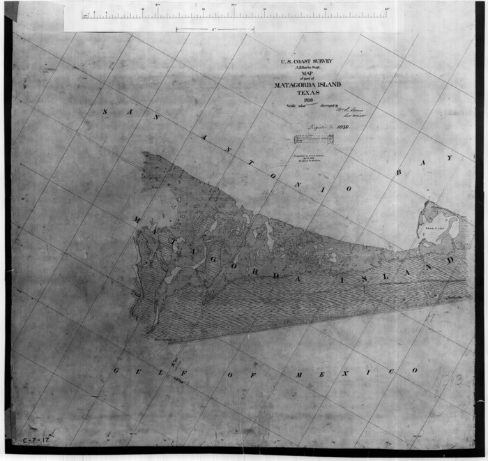
Map of part of Matagorda Island

Print $20.00
- Digital $50.00
Map of part of Matagorda Island
1859
Size 30.2 x 32.0 inches
Map/Doc 69982
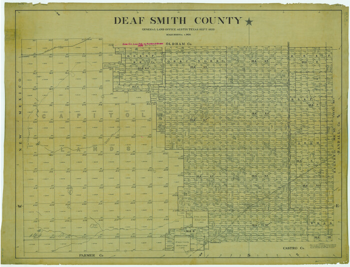
Deaf Smith County

Print $40.00
- Digital $50.00
Deaf Smith County
1926
Size 41.4 x 54.3 inches
Map/Doc 1816
Jefferson County Working Sketch 42


Print $20.00
- Digital $50.00
Jefferson County Working Sketch 42
1996
Size 31.7 x 47.2 inches
Map/Doc 66586
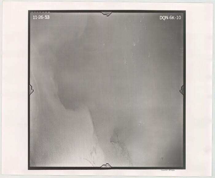
Flight Mission No. DQN-6K, Frame 10, Calhoun County

Print $20.00
- Digital $50.00
Flight Mission No. DQN-6K, Frame 10, Calhoun County
1953
Size 18.5 x 22.3 inches
Map/Doc 84432
Brewster County Rolled Sketch 97


Print $20.00
- Digital $50.00
Brewster County Rolled Sketch 97
1952
Size 31.6 x 30.7 inches
Map/Doc 5254
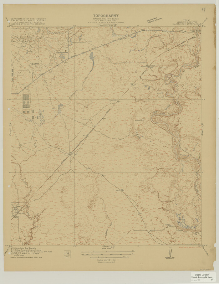
Harris County Historic Topographic 17

Print $20.00
- Digital $50.00
Harris County Historic Topographic 17
1916
Size 29.5 x 22.7 inches
Map/Doc 65827
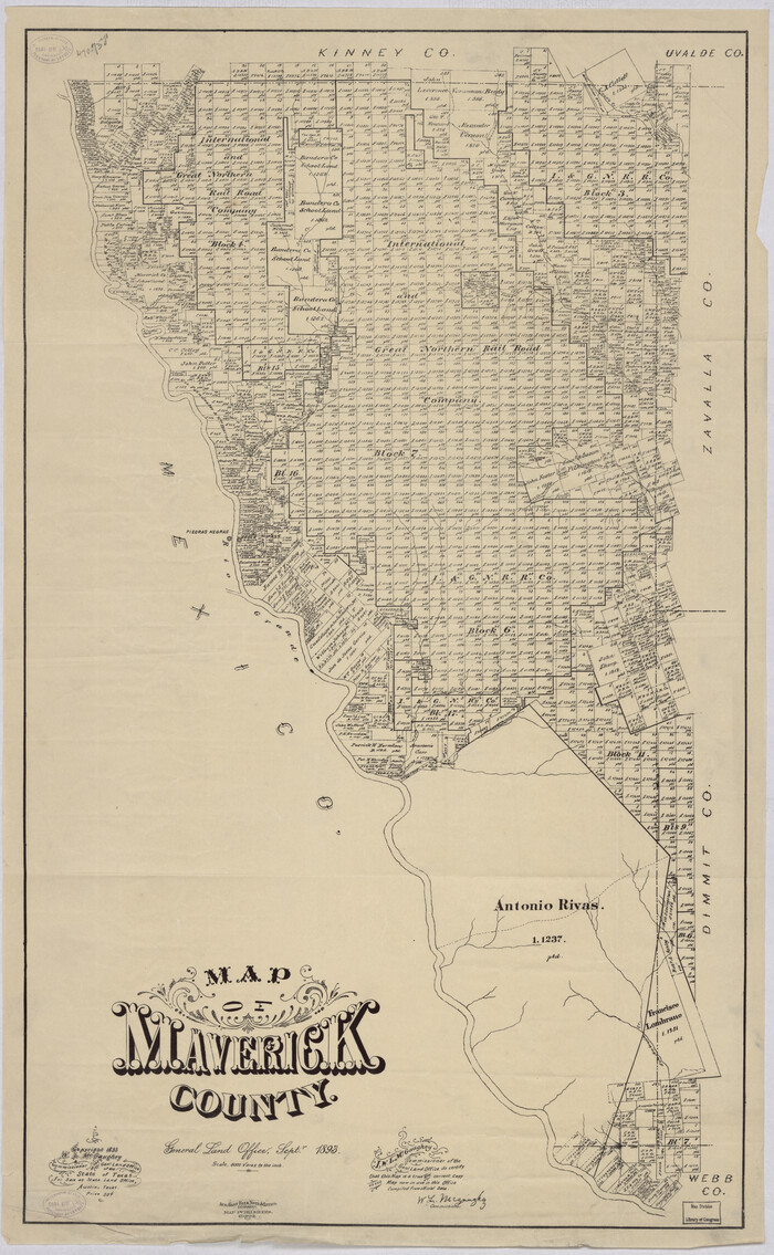
Map of Maverick County

Print $20.00
Map of Maverick County
1893
Size 33.9 x 20.9 inches
Map/Doc 88979
![91957, [Area between H. & T. C. Block 34, PSL Block B19 and University Lands Block 16], Twichell Survey Records](https://historictexasmaps.com/wmedia_w1800h1800/maps/91957-1.tif.jpg)
