[Sketch of 27 1/2 Acre Tract]
-
Map/Doc
92799
-
Collection
Twichell Survey Records
-
Object Dates
7/2/1940 (Creation Date)
-
People and Organizations
T.E. Flake (Surveyor/Engineer)
-
Counties
Ward
-
Height x Width
12.4 x 9.1 inches
31.5 x 23.1 cm
Part of: Twichell Survey Records
[Sketch showing Blocks M19, 20F, JAD, Z6, 2, 9 and 11]
![89787, [Sketch showing Blocks M19, 20F, JAD, Z6, 2, 9 and 11], Twichell Survey Records](https://historictexasmaps.com/wmedia_w700/maps/89787-1.tif.jpg)
![89787, [Sketch showing Blocks M19, 20F, JAD, Z6, 2, 9 and 11], Twichell Survey Records](https://historictexasmaps.com/wmedia_w700/maps/89787-1.tif.jpg)
Print $40.00
- Digital $50.00
[Sketch showing Blocks M19, 20F, JAD, Z6, 2, 9 and 11]
Size 42.2 x 54.7 inches
Map/Doc 89787
Evans Subdivision Number 2
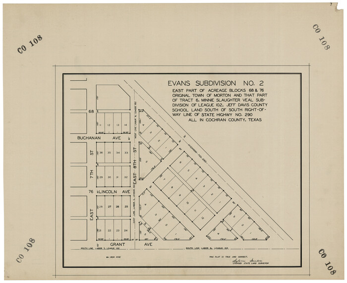

Print $20.00
- Digital $50.00
Evans Subdivision Number 2
Size 23.9 x 19.4 inches
Map/Doc 92497
[Northwest Garza County around John Walker and Thomas Hughes surveys]
![90906, [Northwest Garza County around John Walker and Thomas Hughes surveys], Twichell Survey Records](https://historictexasmaps.com/wmedia_w700/maps/90906-1.tif.jpg)
![90906, [Northwest Garza County around John Walker and Thomas Hughes surveys], Twichell Survey Records](https://historictexasmaps.com/wmedia_w700/maps/90906-1.tif.jpg)
Print $20.00
- Digital $50.00
[Northwest Garza County around John Walker and Thomas Hughes surveys]
1913
Size 28.3 x 14.5 inches
Map/Doc 90906
[Sketch of part of G. & M. Block 5]
![93072, [Sketch of part of G. & M. Block 5], Twichell Survey Records](https://historictexasmaps.com/wmedia_w700/maps/93072-1.tif.jpg)
![93072, [Sketch of part of G. & M. Block 5], Twichell Survey Records](https://historictexasmaps.com/wmedia_w700/maps/93072-1.tif.jpg)
Print $2.00
- Digital $50.00
[Sketch of part of G. & M. Block 5]
Size 3.9 x 6.6 inches
Map/Doc 93072
[Randall County]
![92970, [Randall County], Twichell Survey Records](https://historictexasmaps.com/wmedia_w700/maps/92970-1.tif.jpg)
![92970, [Randall County], Twichell Survey Records](https://historictexasmaps.com/wmedia_w700/maps/92970-1.tif.jpg)
Print $20.00
- Digital $50.00
[Randall County]
Size 14.7 x 12.0 inches
Map/Doc 92970
[Sections 58-63, I. & G. N. Block 1 and adjacent area to the west]
![91641, [Sections 58-63, I. & G. N. Block 1 and adjacent area to the west], Twichell Survey Records](https://historictexasmaps.com/wmedia_w700/maps/91641-1.tif.jpg)
![91641, [Sections 58-63, I. & G. N. Block 1 and adjacent area to the west], Twichell Survey Records](https://historictexasmaps.com/wmedia_w700/maps/91641-1.tif.jpg)
Print $20.00
- Digital $50.00
[Sections 58-63, I. & G. N. Block 1 and adjacent area to the west]
Size 22.6 x 14.8 inches
Map/Doc 91641
[Sketch of Randall County]
![91757, [Sketch of Randall County], Twichell Survey Records](https://historictexasmaps.com/wmedia_w700/maps/91757-1.tif.jpg)
![91757, [Sketch of Randall County], Twichell Survey Records](https://historictexasmaps.com/wmedia_w700/maps/91757-1.tif.jpg)
Print $20.00
- Digital $50.00
[Sketch of Randall County]
Size 21.4 x 18.5 inches
Map/Doc 91757
Working Sketch in Dallam County [shows H. & T. C. Ry. Co. Block 47 1/2]
![90649, Working Sketch in Dallam County [shows H. & T. C. Ry. Co. Block 47 1/2], Twichell Survey Records](https://historictexasmaps.com/wmedia_w700/maps/90649-1.tif.jpg)
![90649, Working Sketch in Dallam County [shows H. & T. C. Ry. Co. Block 47 1/2], Twichell Survey Records](https://historictexasmaps.com/wmedia_w700/maps/90649-1.tif.jpg)
Print $20.00
- Digital $50.00
Working Sketch in Dallam County [shows H. & T. C. Ry. Co. Block 47 1/2]
1906
Size 18.5 x 18.2 inches
Map/Doc 90649
[Capitol Land Reservation, Brooks and Burleson Blocks 1 and 2, H. & T. C. RR. Company Block 48]
![90773, [Capitol Land Reservation, Brooks and Burleson Blocks 1 and 2, H. & T. C. RR. Company Block 48], Twichell Survey Records](https://historictexasmaps.com/wmedia_w700/maps/90773-1.tif.jpg)
![90773, [Capitol Land Reservation, Brooks and Burleson Blocks 1 and 2, H. & T. C. RR. Company Block 48], Twichell Survey Records](https://historictexasmaps.com/wmedia_w700/maps/90773-1.tif.jpg)
Print $20.00
- Digital $50.00
[Capitol Land Reservation, Brooks and Burleson Blocks 1 and 2, H. & T. C. RR. Company Block 48]
1902
Size 22.0 x 17.1 inches
Map/Doc 90773
[Public School Land Blocks]
![93152, [Public School Land Blocks], Twichell Survey Records](https://historictexasmaps.com/wmedia_w700/maps/93152-1.tif.jpg)
![93152, [Public School Land Blocks], Twichell Survey Records](https://historictexasmaps.com/wmedia_w700/maps/93152-1.tif.jpg)
Print $40.00
- Digital $50.00
[Public School Land Blocks]
Size 41.3 x 113.1 inches
Map/Doc 93152
[Sketch of Blocks C2, C, D7, A, RG and San Augustine County School Land]
![93021, [Sketch of Blocks C2, C, D7, A, RG and San Augustine County School Land], Twichell Survey Records](https://historictexasmaps.com/wmedia_w700/maps/93021-1.tif.jpg)
![93021, [Sketch of Blocks C2, C, D7, A, RG and San Augustine County School Land], Twichell Survey Records](https://historictexasmaps.com/wmedia_w700/maps/93021-1.tif.jpg)
Print $20.00
- Digital $50.00
[Sketch of Blocks C2, C, D7, A, RG and San Augustine County School Land]
Size 15.5 x 25.8 inches
Map/Doc 93021
[Map showing Sanborn's Addition and Denver Heights Addition]
![91829, [Map showing Sanborn's Addition and Denver Heights Addition], Twichell Survey Records](https://historictexasmaps.com/wmedia_w700/maps/91829-1.tif.jpg)
![91829, [Map showing Sanborn's Addition and Denver Heights Addition], Twichell Survey Records](https://historictexasmaps.com/wmedia_w700/maps/91829-1.tif.jpg)
Print $20.00
- Digital $50.00
[Map showing Sanborn's Addition and Denver Heights Addition]
Size 22.5 x 38.9 inches
Map/Doc 91829
You may also like
Maps of Gulf Intracoastal Waterway, Texas - Sabine River to the Rio Grande and connecting waterways including ship channels
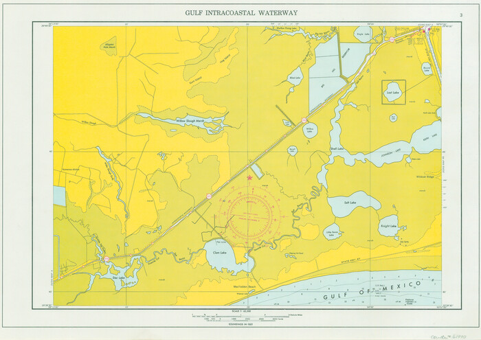

Print $20.00
- Digital $50.00
Maps of Gulf Intracoastal Waterway, Texas - Sabine River to the Rio Grande and connecting waterways including ship channels
1966
Size 14.2 x 20.1 inches
Map/Doc 61990
Nueces County Rolled Sketch 37


Print $20.00
- Digital $50.00
Nueces County Rolled Sketch 37
1950
Size 22.5 x 33.3 inches
Map/Doc 6878
Dallas County Boundary File 1

Print $62.00
- Digital $50.00
Dallas County Boundary File 1
Size 4.1 x 3.7 inches
Map/Doc 52084
[Movements & Objectives of the 143rd & 144th Infantry & 133rd Machine Gun Battalion on October 8-9, 1918, Appendix E, No. 4] - Verso
![94134, [Movements & Objectives of the 143rd & 144th Infantry & 133rd Machine Gun Battalion on October 8-9, 1918, Appendix E, No. 4] - Verso, Non-GLO Digital Images](https://historictexasmaps.com/wmedia_w700/maps/94134-1.tif.jpg)
![94134, [Movements & Objectives of the 143rd & 144th Infantry & 133rd Machine Gun Battalion on October 8-9, 1918, Appendix E, No. 4] - Verso, Non-GLO Digital Images](https://historictexasmaps.com/wmedia_w700/maps/94134-1.tif.jpg)
Print $20.00
[Movements & Objectives of the 143rd & 144th Infantry & 133rd Machine Gun Battalion on October 8-9, 1918, Appendix E, No. 4] - Verso
1918
Size 21.5 x 20.0 inches
Map/Doc 94134
Crane County Sketch File 21
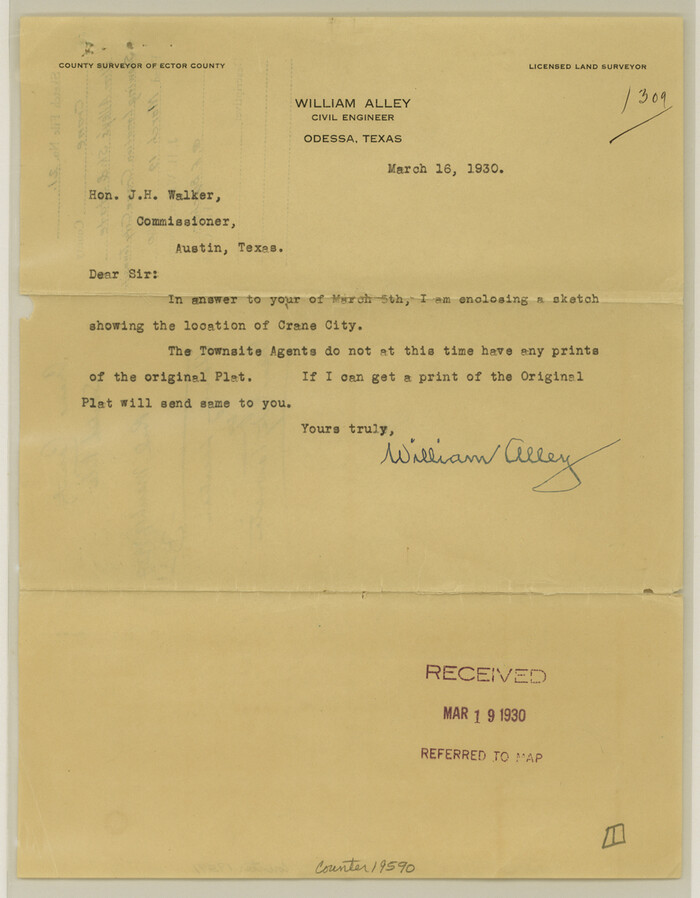

Print $7.00
- Digital $50.00
Crane County Sketch File 21
1930
Size 11.4 x 8.9 inches
Map/Doc 19590
Fort Bend County Sketch File 17 1/2


Print $52.00
- Digital $50.00
Fort Bend County Sketch File 17 1/2
1896
Size 11.2 x 8.7 inches
Map/Doc 22934
Brewster County Working Sketch 53


Print $20.00
- Digital $50.00
Brewster County Working Sketch 53
1951
Size 32.1 x 16.5 inches
Map/Doc 67587
Starr County Rolled Sketch 11


Print $20.00
- Digital $50.00
Starr County Rolled Sketch 11
1912
Size 16.5 x 16.4 inches
Map/Doc 7798
Harrison County Working Sketch 10
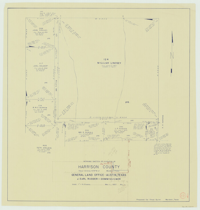

Print $20.00
- Digital $50.00
Harrison County Working Sketch 10
1957
Size 25.8 x 24.6 inches
Map/Doc 66030
Railroad Track Map, H&TCRRCo., Falls County, Texas
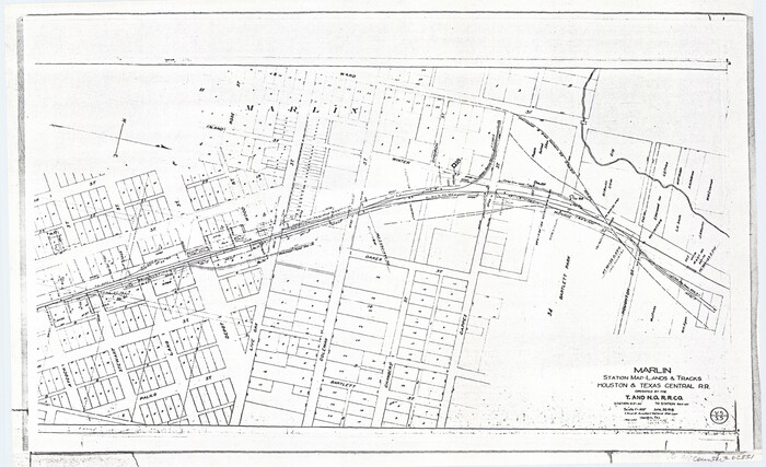

Print $4.00
- Digital $50.00
Railroad Track Map, H&TCRRCo., Falls County, Texas
1918
Size 11.4 x 18.7 inches
Map/Doc 62851
Liberty County Rolled Sketch 18

Print $11.00
- Digital $50.00
Liberty County Rolled Sketch 18
1859
Size 10.1 x 15.2 inches
Map/Doc 46540
Webb County Rolled Sketch 52
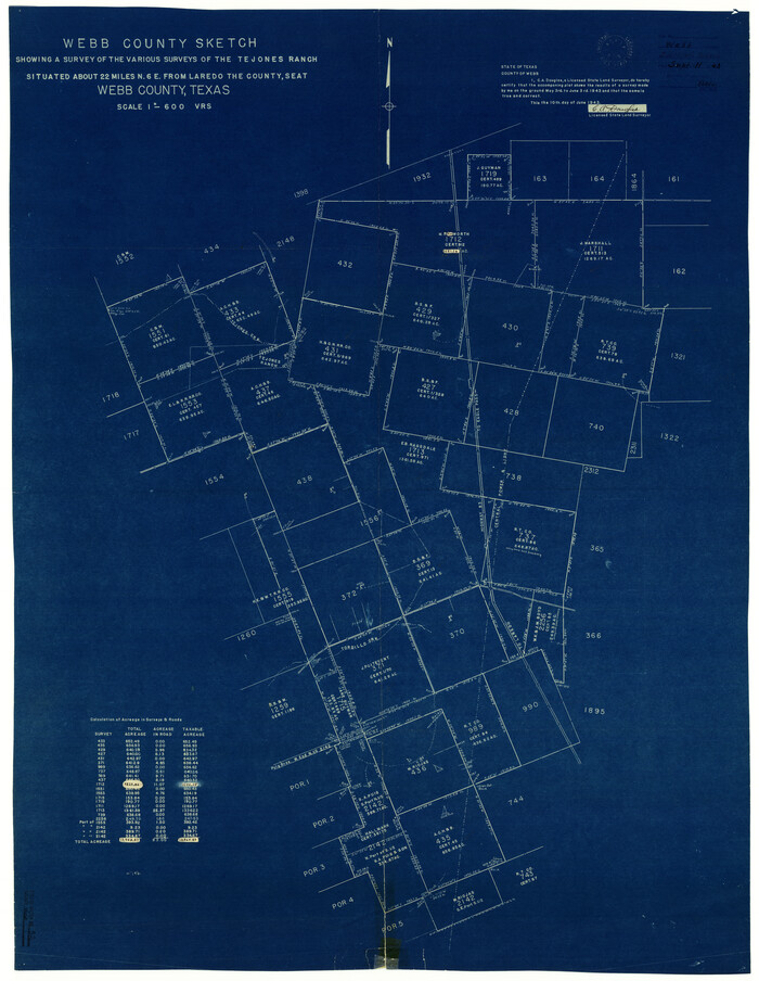

Print $20.00
- Digital $50.00
Webb County Rolled Sketch 52
1943
Size 37.8 x 29.3 inches
Map/Doc 8205
![92799, [Sketch of 27 1/2 Acre Tract], Twichell Survey Records](https://historictexasmaps.com/wmedia_w1800h1800/maps/92799-1.tif.jpg)