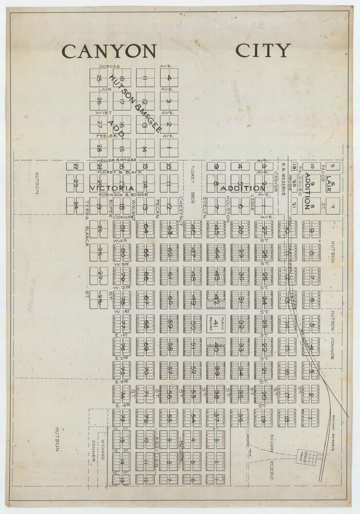
Sheet 2 copied from Champlin Book 5 [Strip Map showing T. & P. connecting lines]
TP-4
-
Map/Doc
93178
-
Collection
Twichell Survey Records
-
Object Dates
7/20/1909 (Creation Date)
-
People and Organizations
O.R. Morse (Draftsman)
-
Counties
Dawson Borden Martin Howard
-
Height x Width
7.3 x 70.3 inches
18.5 x 178.6 cm
Part of: Twichell Survey Records
[A. & B. Block A and Block M-15]
![91930, [A. & B. Block A and Block M-15], Twichell Survey Records](https://historictexasmaps.com/wmedia_w700/maps/91930-1.tif.jpg)
![91930, [A. & B. Block A and Block M-15], Twichell Survey Records](https://historictexasmaps.com/wmedia_w700/maps/91930-1.tif.jpg)
Print $20.00
- Digital $50.00
[A. & B. Block A and Block M-15]
Size 37.3 x 13.3 inches
Map/Doc 91930
[Blocks A-23, A-26, and A-31]
![92673, [Blocks A-23, A-26, and A-31], Twichell Survey Records](https://historictexasmaps.com/wmedia_w700/maps/92673-1.tif.jpg)
![92673, [Blocks A-23, A-26, and A-31], Twichell Survey Records](https://historictexasmaps.com/wmedia_w700/maps/92673-1.tif.jpg)
Print $20.00
- Digital $50.00
[Blocks A-23, A-26, and A-31]
1954
Size 18.1 x 9.0 inches
Map/Doc 92673
Anton Independent School District Hockley and Lamb Counties, Texas


Print $20.00
- Digital $50.00
Anton Independent School District Hockley and Lamb Counties, Texas
Size 19.3 x 23.7 inches
Map/Doc 92215
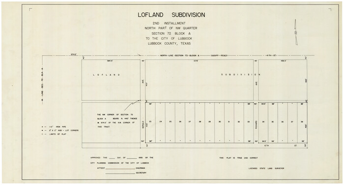
Lofland Subdivision, 2nd Installment, North Part of NW Quarter Section 72, Block A

Print $20.00
- Digital $50.00
Lofland Subdivision, 2nd Installment, North Part of NW Quarter Section 72, Block A
Size 34.7 x 19.0 inches
Map/Doc 92763
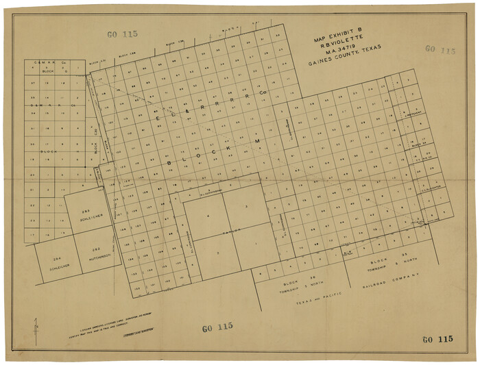
Map Exhibit B, R. B. Violette, M. A. 34719, Gaines County, Texas

Print $20.00
- Digital $50.00
Map Exhibit B, R. B. Violette, M. A. 34719, Gaines County, Texas
Size 30.3 x 23.3 inches
Map/Doc 92654
[State Capitol Leagues, County School Leagues, and vicinity]
![92535, [State Capitol Leagues, County School Leagues, and vicinity], Twichell Survey Records](https://historictexasmaps.com/wmedia_w700/maps/92535-1.tif.jpg)
![92535, [State Capitol Leagues, County School Leagues, and vicinity], Twichell Survey Records](https://historictexasmaps.com/wmedia_w700/maps/92535-1.tif.jpg)
Print $20.00
- Digital $50.00
[State Capitol Leagues, County School Leagues, and vicinity]
1913
Size 20.8 x 27.6 inches
Map/Doc 92535
[Public Domain Surrounded by Blocks Z, C4, C3, A2, 1]
![92427, [Public Domain Surrounded by Blocks Z, C4, C3, A2, 1], Twichell Survey Records](https://historictexasmaps.com/wmedia_w700/maps/92427-1.tif.jpg)
![92427, [Public Domain Surrounded by Blocks Z, C4, C3, A2, 1], Twichell Survey Records](https://historictexasmaps.com/wmedia_w700/maps/92427-1.tif.jpg)
Print $20.00
- Digital $50.00
[Public Domain Surrounded by Blocks Z, C4, C3, A2, 1]
Size 22.5 x 26.3 inches
Map/Doc 92427
Brazoria County


Print $20.00
- Digital $50.00
Brazoria County
1920
Size 20.3 x 23.2 inches
Map/Doc 90138
[Plat showing connecting lines for the purpose of locating 4.3 acres in Caldwell County]
![90221, [Plat showing connecting lines for the purpose of locating 4.3 acres in Caldwell County], Twichell Survey Records](https://historictexasmaps.com/wmedia_w700/maps/90221-1.tif.jpg)
![90221, [Plat showing connecting lines for the purpose of locating 4.3 acres in Caldwell County], Twichell Survey Records](https://historictexasmaps.com/wmedia_w700/maps/90221-1.tif.jpg)
Print $2.00
- Digital $50.00
[Plat showing connecting lines for the purpose of locating 4.3 acres in Caldwell County]
1923
Size 7.0 x 10.0 inches
Map/Doc 90221
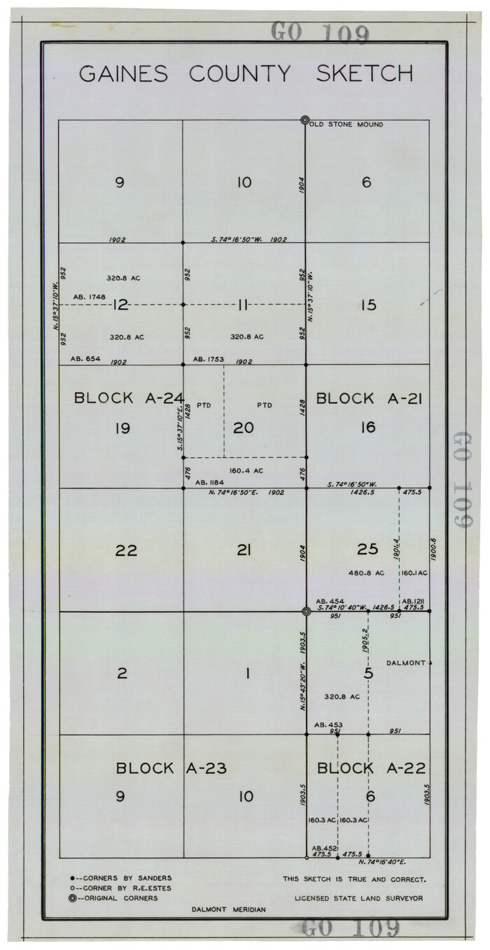
Gaines County Sketch

Print $20.00
- Digital $50.00
Gaines County Sketch
Size 9.7 x 18.5 inches
Map/Doc 92668
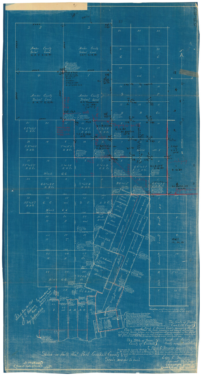
Sketch in Northwest part Crockett County

Print $20.00
- Digital $50.00
Sketch in Northwest part Crockett County
Size 14.5 x 26.3 inches
Map/Doc 90475
You may also like
[Sections 94 and 826-831 along Red River]
![93161, [Sections 94 and 826-831 along Red River], Twichell Survey Records](https://historictexasmaps.com/wmedia_w700/maps/93161-1.tif.jpg)
![93161, [Sections 94 and 826-831 along Red River], Twichell Survey Records](https://historictexasmaps.com/wmedia_w700/maps/93161-1.tif.jpg)
Print $40.00
- Digital $50.00
[Sections 94 and 826-831 along Red River]
Size 43.2 x 111.4 inches
Map/Doc 93161
Trinity County Sketch File 33A


Print $6.00
- Digital $50.00
Trinity County Sketch File 33A
1920
Size 6.5 x 6.8 inches
Map/Doc 38575
[Surveys along the Sabine River made under G.W. Smyth, Commissioner]
![89, [Surveys along the Sabine River made under G.W. Smyth, Commissioner], General Map Collection](https://historictexasmaps.com/wmedia_w700/maps/89.tif.jpg)
![89, [Surveys along the Sabine River made under G.W. Smyth, Commissioner], General Map Collection](https://historictexasmaps.com/wmedia_w700/maps/89.tif.jpg)
Print $20.00
- Digital $50.00
[Surveys along the Sabine River made under G.W. Smyth, Commissioner]
Size 12.6 x 17.1 inches
Map/Doc 89
Flight Mission No. BRA-7M, Frame 11, Jefferson County


Print $20.00
- Digital $50.00
Flight Mission No. BRA-7M, Frame 11, Jefferson County
1953
Size 18.6 x 22.3 inches
Map/Doc 85462
[Beaumont, Sour Lake and Western Ry. Right of Way and Alignment - Frisco]
![64119, [Beaumont, Sour Lake and Western Ry. Right of Way and Alignment - Frisco], General Map Collection](https://historictexasmaps.com/wmedia_w700/maps/64119.tif.jpg)
![64119, [Beaumont, Sour Lake and Western Ry. Right of Way and Alignment - Frisco], General Map Collection](https://historictexasmaps.com/wmedia_w700/maps/64119.tif.jpg)
Print $20.00
- Digital $50.00
[Beaumont, Sour Lake and Western Ry. Right of Way and Alignment - Frisco]
1910
Size 20.0 x 45.8 inches
Map/Doc 64119
Roberts County Working Sketch 4


Print $20.00
- Digital $50.00
Roberts County Working Sketch 4
1945
Size 37.1 x 32.8 inches
Map/Doc 63530
Hutchinson County Sketch File 39


Print $20.00
- Digital $50.00
Hutchinson County Sketch File 39
1938
Size 23.5 x 19.0 inches
Map/Doc 11822
Flight Mission No. DQO-8K, Frame 139, Galveston County


Print $20.00
- Digital $50.00
Flight Mission No. DQO-8K, Frame 139, Galveston County
1952
Size 18.6 x 22.4 inches
Map/Doc 85201
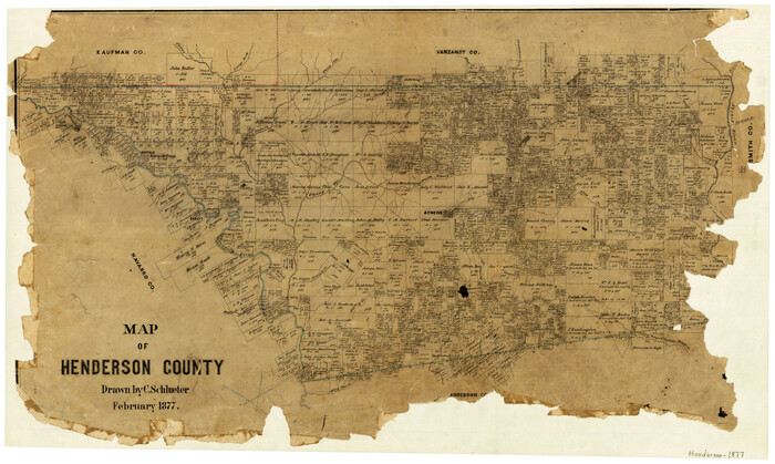
Map of Henderson County

Print $20.00
- Digital $50.00
Map of Henderson County
1877
Size 17.7 x 29.2 inches
Map/Doc 3666
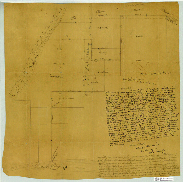
Chambers County Sketch File A

Print $20.00
- Digital $50.00
Chambers County Sketch File A
1900
Size 21.3 x 21.5 inches
Map/Doc 11071
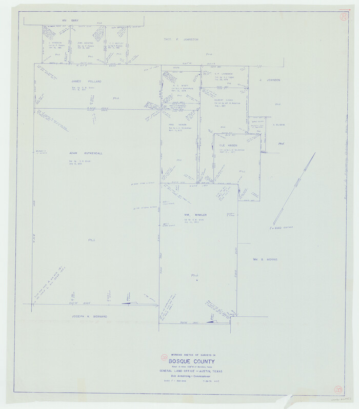
Bosque County Working Sketch 20

Print $20.00
- Digital $50.00
Bosque County Working Sketch 20
1976
Size 37.4 x 32.8 inches
Map/Doc 67453
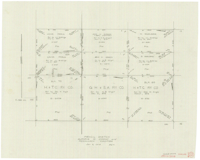
Concho County Working Sketch 23

Print $20.00
- Digital $50.00
Concho County Working Sketch 23
1975
Size 21.9 x 27.1 inches
Map/Doc 68205
![93178, Sheet 2 copied from Champlin Book 5 [Strip Map showing T. & P. connecting lines], Twichell Survey Records](https://historictexasmaps.com/wmedia_w1800h1800/maps/93178-1.tif.jpg)
