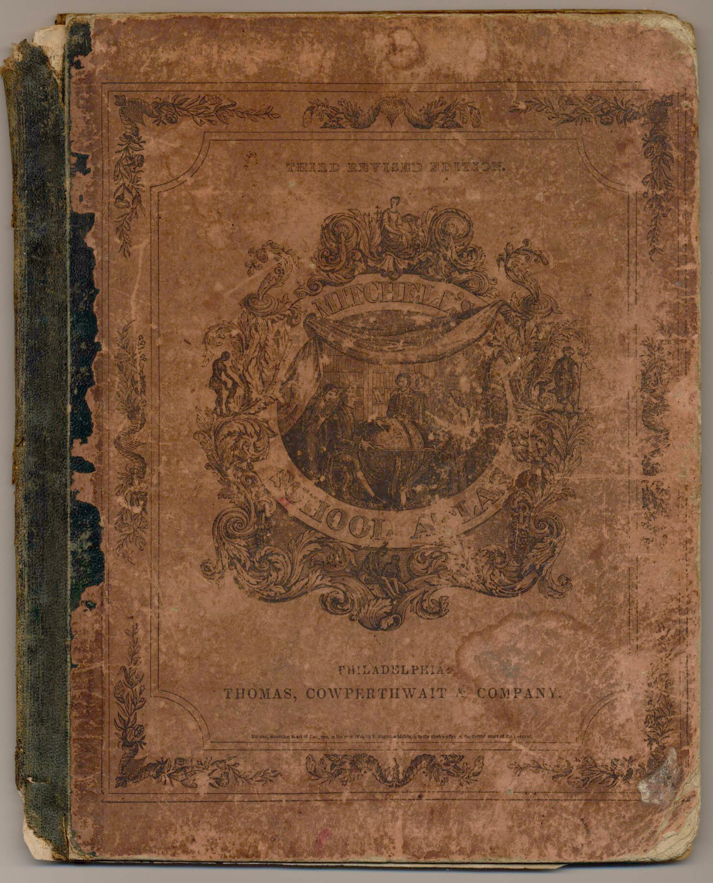
Mitchell's school atlas: comprising the maps, etc., designed to illustrate Mitchell's school and family geography
-
Map/Doc
93491
-
Collection
General Map Collection
-
Object Dates
1851 (Creation Date)
2013/7/11 (File Date)
-
People and Organizations
Thomas, Cowperthwait and Co. (Publisher)
Galen Greaser (Donor)
S. Augustus Mitchell (Author)
-
Subjects
Atlas
-
Height x Width
12.0 x 9.6 inches
30.5 x 24.4 cm
-
Comments
Donated by Galen Greaser in 2009. See map numbers 93492 through 93508 for the individual maps.
-
URLs
https://medium.com/save-texas-history/map-of-africa-1839-engraved-to-illustrate-mitchell-s-school-atlas-comprising-the-maps-etc-b8e2d1f5a8ea#.x2ytd53je
Related maps
The World on an Equatorial Projection, Map of the Eastern and Western Hemispheres / The World on a Polar Projection, Map of the Northern and Southern Hemispheres / Inset: Map of the most recent Antarctic Discoveries

Print $20.00
- Digital $50.00
The World on an Equatorial Projection, Map of the Eastern and Western Hemispheres / The World on a Polar Projection, Map of the Northern and Southern Hemispheres / Inset: Map of the most recent Antarctic Discoveries
1839
Size 11.8 x 9.5 inches
Map/Doc 93492
Map of North America engraved to illustrate Mitchell's school and family geography

Print $20.00
- Digital $50.00
Map of North America engraved to illustrate Mitchell's school and family geography
1839
Size 11.8 x 9.5 inches
Map/Doc 93493
Map of the United States engraved to illustrate Mitchell's school and family geography (Inset: Map of the Gold Region of California)

Print $20.00
- Digital $50.00
Map of the United States engraved to illustrate Mitchell's school and family geography (Inset: Map of the Gold Region of California)
1849
Size 11.8 x 17.5 inches
Map/Doc 93494
Map of the New England or Eastern States (Inset 1: Map of New Brunswick, Nova Scotia and Newfoundland / Inset 2: Vicinity of Boston and Providence / Inset 3: Vicinity of New Haven and Hartford)

Print $20.00
- Digital $50.00
Map of the New England or Eastern States (Inset 1: Map of New Brunswick, Nova Scotia and Newfoundland / Inset 2: Vicinity of Boston and Providence / Inset 3: Vicinity of New Haven and Hartford)
1844
Size 17.8 x 11.8 inches
Map/Doc 93495
Map of the Middle States and part of the Southern engraved to illustrate Mitchell's school and family geography

Print $20.00
- Digital $50.00
Map of the Middle States and part of the Southern engraved to illustrate Mitchell's school and family geography
1839
Size 17.8 x 11.8 inches
Map/Doc 93496
Map of the chief part of the Southern States and part of the Western engraved to illustrate Mitchell's school and family geography

Print $20.00
- Digital $50.00
Map of the chief part of the Southern States and part of the Western engraved to illustrate Mitchell's school and family geography
1839
Size 11.8 x 17.5 inches
Map/Doc 93497
Map of the State of Texas engraved to illustrate Mitchell's school and family geography

Print $20.00
- Digital $50.00
Map of the State of Texas engraved to illustrate Mitchell's school and family geography
1846
Size 11.8 x 9.5 inches
Map/Doc 93498
Map of the chief part of the Western States and part of Virginia engraved to illustrate Mitchell's school and family geography

Print $20.00
- Digital $50.00
Map of the chief part of the Western States and part of Virginia engraved to illustrate Mitchell's school and family geography
1839
Size 11.8 x 17.8 inches
Map/Doc 93499
Map of Mexico, Guatimala and the West Indies (Inset: Map of the Country between the cities of Mexico and Vera Cruz)

Print $20.00
- Digital $50.00
Map of Mexico, Guatimala and the West Indies (Inset: Map of the Country between the cities of Mexico and Vera Cruz)
1849
Size 9.5 x 11.8 inches
Map/Doc 93500
Map of South America engraved to illustrate Mitchell's school and family geography

Print $20.00
- Digital $50.00
Map of South America engraved to illustrate Mitchell's school and family geography
1839
Size 11.8 x 9.5 inches
Map/Doc 93501
Map of Europe engraved to illustrate Mitchell's school and family geography

Print $20.00
- Digital $50.00
Map of Europe engraved to illustrate Mitchell's school and family geography
1839
Size 9.5 x 11.8 inches
Map/Doc 93502
Map of Great Britain and Ireland engraved to illustrate Mitchell's school and family geography

Print $20.00
- Digital $50.00
Map of Great Britain and Ireland engraved to illustrate Mitchell's school and family geography
1840
Size 11.8 x 9.5 inches
Map/Doc 93503
Map of Germany, Switzerland and Northern Italy engraved to illustrate Mitchell's school and family geography

Print $20.00
- Digital $50.00
Map of Germany, Switzerland and Northern Italy engraved to illustrate Mitchell's school and family geography
1840
Size 11.8 x 9.5 inches
Map/Doc 93504
Map of France, Spain, Portugal and Italy engraved to illustrate Mitchell's school and family geography (Inset: Greece and the Ionian Islands)

Print $20.00
- Digital $50.00
Map of France, Spain, Portugal and Italy engraved to illustrate Mitchell's school and family geography (Inset: Greece and the Ionian Islands)
1846
Size 9.5 x 11.8 inches
Map/Doc 93505
Map of Asia engraved to illustrate Mitchell's school and family geography (Inset: Map of Palestine or the Holy Land)

Print $20.00
- Digital $50.00
Map of Asia engraved to illustrate Mitchell's school and family geography (Inset: Map of Palestine or the Holy Land)
1839
Size 9.5 x 11.8 inches
Map/Doc 93506
Map of Africa engraved to illustrate Mitchell's school and family geography (Inset 1: Map of Egypt / Inset 2: Map of Liberia)

Print $20.00
- Digital $50.00
Map of Africa engraved to illustrate Mitchell's school and family geography (Inset 1: Map of Egypt / Inset 2: Map of Liberia)
1839
Size 9.5 x 11.8 inches
Map/Doc 93507
Map of Oceania engraved to illustrate Mitchell's school and family geography

Print $20.00
- Digital $50.00
Map of Oceania engraved to illustrate Mitchell's school and family geography
1839
Size 9.5 x 11.8 inches
Map/Doc 93508
Part of: General Map Collection
Cherokee County Sketch File 16

Print $44.00
- Digital $50.00
Cherokee County Sketch File 16
1862
Size 10.0 x 8.0 inches
Map/Doc 18152
[Aerial photograph from Carancahua Bend of Caney Creek to Cedar Lake]
![78640, [Aerial photograph from Carancahua Bend of Caney Creek to Cedar Lake], General Map Collection](https://historictexasmaps.com/wmedia_w700/maps/78640.tif.jpg)
Print $20.00
- Digital $50.00
[Aerial photograph from Carancahua Bend of Caney Creek to Cedar Lake]
1991
Size 24.4 x 30.3 inches
Map/Doc 78640
San Augustine County Sketch File 13a

Print $4.00
San Augustine County Sketch File 13a
1879
Size 8.9 x 14.5 inches
Map/Doc 35660
Uvalde County Working Sketch 64, revised

Print $20.00
- Digital $50.00
Uvalde County Working Sketch 64, revised
1998
Size 34.2 x 35.5 inches
Map/Doc 72135

Hockley County Sketch File 15

Print $6.00
- Digital $50.00
Hockley County Sketch File 15
1912
Size 11.4 x 8.9 inches
Map/Doc 26550
Williamson County Sketch File 12

Print $4.00
- Digital $50.00
Williamson County Sketch File 12
1860
Size 12.6 x 3.4 inches
Map/Doc 40326
Refugio County Sketch File 17

Print $6.00
- Digital $50.00
Refugio County Sketch File 17
1902
Size 14.3 x 8.8 inches
Map/Doc 35272
McMullen County Rolled Sketch 22

Print $20.00
- Digital $50.00
McMullen County Rolled Sketch 22
2004
Size 15.3 x 24.6 inches
Map/Doc 88824
Northern Part of Laguna Madre

Print $20.00
- Digital $50.00
Northern Part of Laguna Madre
1982
Size 44.2 x 35.0 inches
Map/Doc 73530
Calhoun County Rolled Sketch 14

Print $20.00
- Digital $50.00
Calhoun County Rolled Sketch 14
Size 22.1 x 40.5 inches
Map/Doc 5454
Lipscomb County Working Sketch 9

Print $20.00
- Digital $50.00
Lipscomb County Working Sketch 9
1995
Size 44.1 x 22.3 inches
Map/Doc 70585
You may also like
Houston County Sketch File 8

Print $22.00
- Digital $50.00
Houston County Sketch File 8
1858
Size 12.9 x 8.3 inches
Map/Doc 26768
Flight Mission No. BRA-7M, Frame 85, Jefferson County

Print $20.00
- Digital $50.00
Flight Mission No. BRA-7M, Frame 85, Jefferson County
1953
Size 18.7 x 22.4 inches
Map/Doc 85507
Panola County Rolled Sketch 4

Print $20.00
- Digital $50.00
Panola County Rolled Sketch 4
1951
Size 25.4 x 26.1 inches
Map/Doc 7198
Moore County Working Sketch 15

Print $20.00
- Digital $50.00
Moore County Working Sketch 15
1981
Size 20.8 x 35.3 inches
Map/Doc 71197
Coryell County Working Sketch 26

Print $20.00
- Digital $50.00
Coryell County Working Sketch 26
1988
Size 30.7 x 30.6 inches
Map/Doc 68233
A New Map of North America

Print $20.00
- Digital $50.00
A New Map of North America
1779
Size 18.5 x 22.2 inches
Map/Doc 95141
Fort Bend County Sketch File 24

Print $20.00
- Digital $50.00
Fort Bend County Sketch File 24
1890
Size 23.5 x 32.4 inches
Map/Doc 11509
Wise County Rolled Sketch 2

Print $40.00
- Digital $50.00
Wise County Rolled Sketch 2
1941
Size 58.7 x 44.8 inches
Map/Doc 10155
Revised map of Matagorda Bay and vicinity in Matagorda and Calhoun Counties showing subdivision for mineral development

Print $40.00
- Digital $50.00
Revised map of Matagorda Bay and vicinity in Matagorda and Calhoun Counties showing subdivision for mineral development
1941
Size 43.4 x 56.6 inches
Map/Doc 3098
Fractional Township No. 8 South Range No. 21 East of the Indian Meridian, Indian Territory

Print $20.00
- Digital $50.00
Fractional Township No. 8 South Range No. 21 East of the Indian Meridian, Indian Territory
1897
Size 19.2 x 24.2 inches
Map/Doc 75238
Oldham County Sketch File 16

Print $6.00
- Digital $50.00
Oldham County Sketch File 16
1904
Size 11.2 x 8.8 inches
Map/Doc 33264
[Map of the City of South Padre Island]
![3212, [Map of the City of South Padre Island], General Map Collection](https://historictexasmaps.com/wmedia_w700/maps/3212-1.tif.jpg)
Print $20.00
- Digital $50.00
[Map of the City of South Padre Island]
1993
Size 12.5 x 36.5 inches
Map/Doc 3212