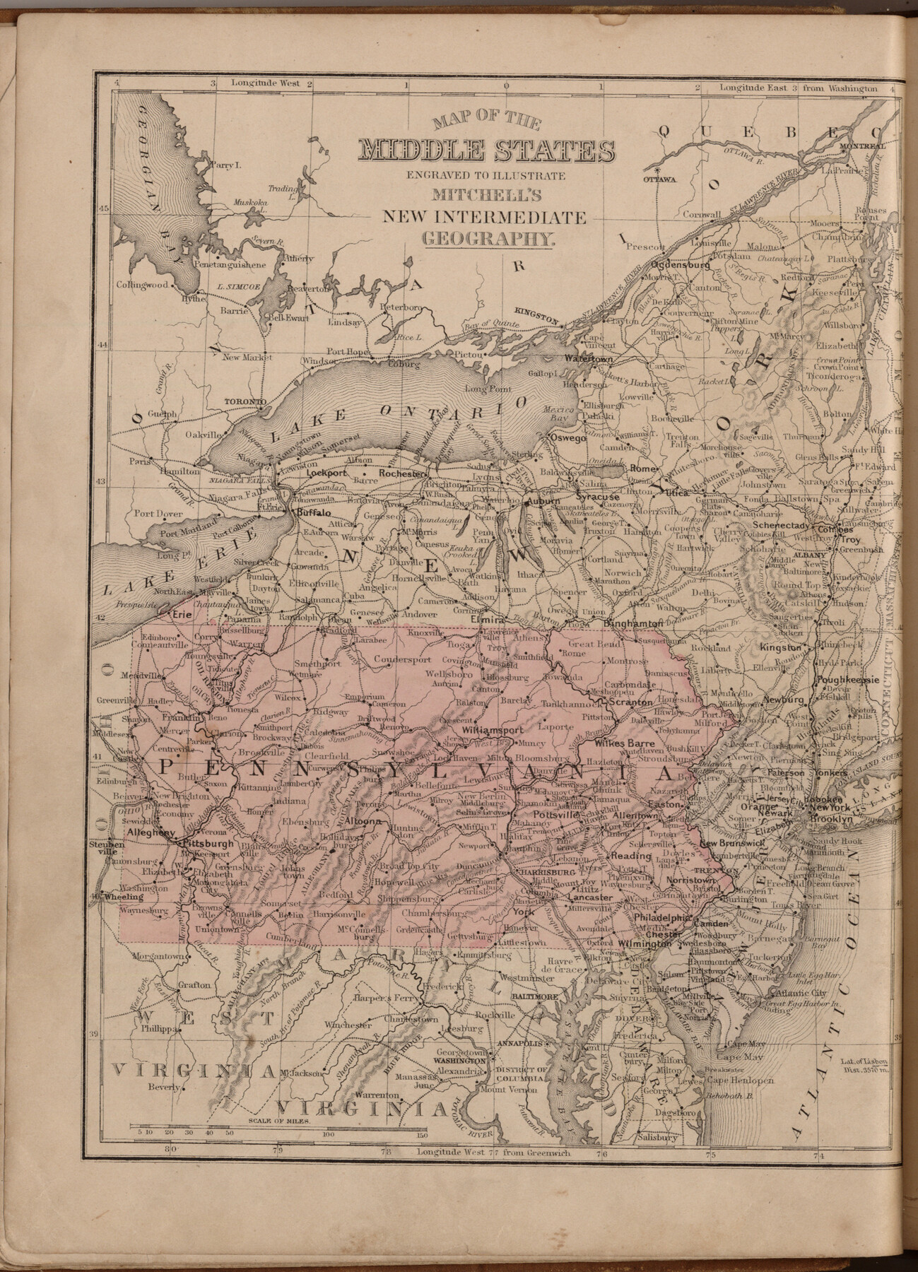
Map of the Middle States engraved to illustrate Mitchell's new intermediate geography
-
Map/Doc
93516
-
Collection
General Map Collection
-
Object Dates
1885 (Creation Date)
2013/7/12 (File Date)
-
People and Organizations
E. H. Butler and Co. (Publisher)
Galen Greaser (Donor)
S. Augustus Mitchell (Author)
-
Subjects
Atlas
-
Height x Width
12.2 x 9.0 inches
31.0 x 22.9 cm
-
Comments
Donated by Galen Greaser in 2009. Map is part of volume: "Mitchell's New Intermediate Geography (Louisiana Edition)". See 93509 for complete atlas.
Related maps
Mitchell's New Intermediate Geography (Louisiana Edition)

Print $819.00
- Digital $50.00
Mitchell's New Intermediate Geography (Louisiana Edition)
1885
Size 12.5 x 10.0 inches
Map/Doc 93509
Part of: General Map Collection
Hunt County Sketch File A

Print $4.00
- Digital $50.00
Hunt County Sketch File A
1884
Size 14.4 x 8.3 inches
Map/Doc 27170

Young Land District

Print $20.00
- Digital $50.00
Young Land District
1857
Size 21.7 x 29.7 inches
Map/Doc 1974
Part of Laguna Madre in Kenedy and Willacy Counties, showing Subdivision for Mineral Development

Print $40.00
- Digital $50.00
Part of Laguna Madre in Kenedy and Willacy Counties, showing Subdivision for Mineral Development
1946
Size 49.1 x 30.0 inches
Map/Doc 1924
Map of Defunct and Ghost Counties in Texas

Print $20.00
- Digital $50.00
Map of Defunct and Ghost Counties in Texas
1939
Size 17.4 x 18.6 inches
Map/Doc 4805
Jefferson County Working Sketch 7

Print $20.00
- Digital $50.00
Jefferson County Working Sketch 7
1931
Size 18.0 x 18.6 inches
Map/Doc 66550
Erath County Working Sketch 33

Print $20.00
- Digital $50.00
Erath County Working Sketch 33
1972
Size 25.1 x 21.0 inches
Map/Doc 69114
Flight Mission No. DQO-8K, Frame 85, Galveston County

Print $20.00
- Digital $50.00
Flight Mission No. DQO-8K, Frame 85, Galveston County
1952
Size 18.7 x 22.5 inches
Map/Doc 85187
Liberty County Working Sketch 1

Print $20.00
- Digital $50.00
Liberty County Working Sketch 1
Size 26.5 x 29.7 inches
Map/Doc 70460
Matagorda County Working Sketch Graphic Index, Sheet 1 (Sketches 1 to 16)

Print $40.00
- Digital $50.00
Matagorda County Working Sketch Graphic Index, Sheet 1 (Sketches 1 to 16)
1920
Size 40.0 x 48.8 inches
Map/Doc 76633
Lynn County Sketch File 15

Print $34.00
- Digital $50.00
Lynn County Sketch File 15
Size 14.2 x 8.7 inches
Map/Doc 30497
McLennan County Boundary File 3a

Print $30.00
- Digital $50.00
McLennan County Boundary File 3a
Size 14.1 x 8.5 inches
Map/Doc 56967
You may also like
[Brown County]
![3337, [Brown County], General Map Collection](https://historictexasmaps.com/wmedia_w700/maps/3337-1.tif.jpg)
Print $20.00
- Digital $50.00
[Brown County]
1863
Size 25.4 x 22.5 inches
Map/Doc 3337
[Texas State Capitol Land]
![89940, [Texas State Capitol Land], Twichell Survey Records](https://historictexasmaps.com/wmedia_w700/maps/89940-1.tif.jpg)
Print $40.00
- Digital $50.00
[Texas State Capitol Land]
Size 37.6 x 72.6 inches
Map/Doc 89940
[Surveying Sketch of Martha G. Morrow, Mary Bigger, et al in Travis County]
![522, [Surveying Sketch of Martha G. Morrow, Mary Bigger, et al in Travis County], Maddox Collection](https://historictexasmaps.com/wmedia_w700/maps/522.tif.jpg)
Print $3.00
- Digital $50.00
[Surveying Sketch of Martha G. Morrow, Mary Bigger, et al in Travis County]
Size 12.4 x 9.6 inches
Map/Doc 522
Flight Mission No. CRC-4R, Frame 180, Chambers County

Print $20.00
- Digital $50.00
Flight Mission No. CRC-4R, Frame 180, Chambers County
1956
Size 18.6 x 22.2 inches
Map/Doc 84931
Polk County Boundary File 2a

Print $40.00
- Digital $50.00
Polk County Boundary File 2a
Size 31.6 x 9.6 inches
Map/Doc 57928
D No. 3 - Sketch of Ocracoke Inlet, North Carolina

Print $20.00
- Digital $50.00
D No. 3 - Sketch of Ocracoke Inlet, North Carolina
1852
Size 17.0 x 16.1 inches
Map/Doc 97210

W. S. Mabry Land Corners and Connections, Potter County

Print $20.00
- Digital $50.00
W. S. Mabry Land Corners and Connections, Potter County
Size 22.4 x 17.4 inches
Map/Doc 91805
Travis County Rolled Sketch 37

Print $20.00
- Digital $50.00
Travis County Rolled Sketch 37
1942
Size 36.1 x 35.6 inches
Map/Doc 10014
Menard County Sketch File 3

Print $40.00
- Digital $50.00
Menard County Sketch File 3
Size 16.3 x 12.9 inches
Map/Doc 31488
Dallas County Boundary File 5

Print $120.00
- Digital $50.00
Dallas County Boundary File 5
Size 11.5 x 72.2 inches
Map/Doc 52160
Travis County Rolled Sketch 36

Print $20.00
- Digital $50.00
Travis County Rolled Sketch 36
Size 33.9 x 24.5 inches
Map/Doc 8037