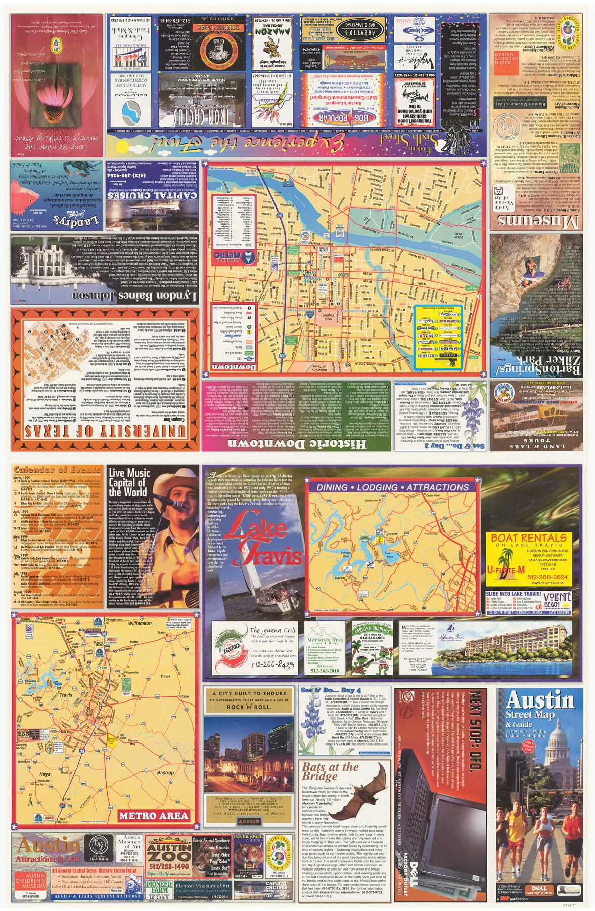
Austin Street Map & Guide
[Advertisments - Verso]
-
Map/Doc
94095
-
Collection
General Map Collection
-
Object Dates
1999 (Creation Date)
-
People and Organizations
MAP Austin (Publisher)
-
Counties
Travis
-
Subjects
City
-
Height x Width
35.4 x 23.2 inches
89.9 x 58.9 cm
-
Medium
paper, etching/engraving/lithograph
-
Comments
See 94094 for street map of Austin on recto.
Related maps
Austin Street Map & Guide

Digital $50.00
Austin Street Map & Guide
1999
Size 35.4 x 23.2 inches
Map/Doc 94094
Part of: General Map Collection
Sabine and Neches Rivers

Print $20.00
- Digital $50.00
Sabine and Neches Rivers
1971
Size 19.7 x 44.4 inches
Map/Doc 69817
Lavaca County Working Sketch 25

Print $20.00
- Digital $50.00
Lavaca County Working Sketch 25
1986
Size 33.3 x 29.9 inches
Map/Doc 70378
Crockett County Sketch File 63

Print $4.00
- Digital $50.00
Crockett County Sketch File 63
1927
Size 11.0 x 8.8 inches
Map/Doc 19851
University Lands Blocks 14 & 15, Crockett & Upton Counties

Print $20.00
- Digital $50.00
University Lands Blocks 14 & 15, Crockett & Upton Counties
1936
Size 36.6 x 25.5 inches
Map/Doc 2446
Reeves County Working Sketch 37

Print $40.00
- Digital $50.00
Reeves County Working Sketch 37
1971
Size 57.7 x 36.7 inches
Map/Doc 63480
Wichita County Sketch File 16

Print $4.00
- Digital $50.00
Wichita County Sketch File 16
1890
Size 12.9 x 8.9 inches
Map/Doc 40095
Runnels County Sketch File 35

Print $20.00
Runnels County Sketch File 35
1889
Size 17.7 x 30.6 inches
Map/Doc 12266
Intracoastal Waterway in Texas - Corpus Christi to Point Isabel including Arroyo Colorado to Mo. Pac. R.R. Bridge Near Harlingen

Print $20.00
- Digital $50.00
Intracoastal Waterway in Texas - Corpus Christi to Point Isabel including Arroyo Colorado to Mo. Pac. R.R. Bridge Near Harlingen
1933
Size 27.8 x 40.9 inches
Map/Doc 61861
Crockett County Working Sketch 14

Print $3.00
- Digital $50.00
Crockett County Working Sketch 14
1916
Size 12.1 x 9.1 inches
Map/Doc 68347
Harris County Working Sketch 50

Print $20.00
- Digital $50.00
Harris County Working Sketch 50
1947
Size 38.7 x 35.6 inches
Map/Doc 65942
Red River County Sketch File 1a

Print $4.00
- Digital $50.00
Red River County Sketch File 1a
1854
Size 12.7 x 8.0 inches
Map/Doc 35093
Dickens County Sketch File 15

Print $4.00
- Digital $50.00
Dickens County Sketch File 15
Size 12.6 x 8.0 inches
Map/Doc 20973
You may also like
Hutchinson County Sketch File 19

Print $16.00
- Digital $50.00
Hutchinson County Sketch File 19
1913
Size 8.0 x 5.2 inches
Map/Doc 27234
Johnson County Sketch File 5

Print $20.00
- Digital $50.00
Johnson County Sketch File 5
1874
Size 33.3 x 14.3 inches
Map/Doc 11890
![92467, [Muleshoe], Twichell Survey Records](https://historictexasmaps.com/wmedia_w700/maps/92467-1.tif.jpg)
Flight Mission No. DQN-5K, Frame 75, Calhoun County

Print $20.00
- Digital $50.00
Flight Mission No. DQN-5K, Frame 75, Calhoun County
1953
Size 18.4 x 22.1 inches
Map/Doc 84408
Carte de la Nouvelle France ou le voit le cours des Grandes Rivieres de S. Laurens & de Mississipi

Print $20.00
- Digital $50.00
Carte de la Nouvelle France ou le voit le cours des Grandes Rivieres de S. Laurens & de Mississipi
1720
Size 25.9 x 41.5 inches
Map/Doc 93822
Culberson County Working Sketch 87

Print $20.00
- Digital $50.00
Culberson County Working Sketch 87
1981
Size 26.9 x 37.1 inches
Map/Doc 68541
Flight Mission No. CRK-8P, Frame 114, Refugio County

Print $20.00
- Digital $50.00
Flight Mission No. CRK-8P, Frame 114, Refugio County
1956
Size 18.3 x 22.1 inches
Map/Doc 86969
Comanche County Sketch File 13

Print $4.00
- Digital $50.00
Comanche County Sketch File 13
Size 8.5 x 8.6 inches
Map/Doc 19076
Travis County Rolled Sketch 42

Print $20.00
- Digital $50.00
Travis County Rolled Sketch 42
Size 25.2 x 25.7 inches
Map/Doc 8040
Reagan County Working Sketch 19

Print $20.00
- Digital $50.00
Reagan County Working Sketch 19
1954
Size 24.3 x 42.9 inches
Map/Doc 71861
Hunt County Sketch File 34

Print $6.00
- Digital $50.00
Hunt County Sketch File 34
Size 9.9 x 7.2 inches
Map/Doc 27143
Marion County Sketch File 2

Print $4.00
- Digital $50.00
Marion County Sketch File 2
1853
Size 8.3 x 14.2 inches
Map/Doc 30564