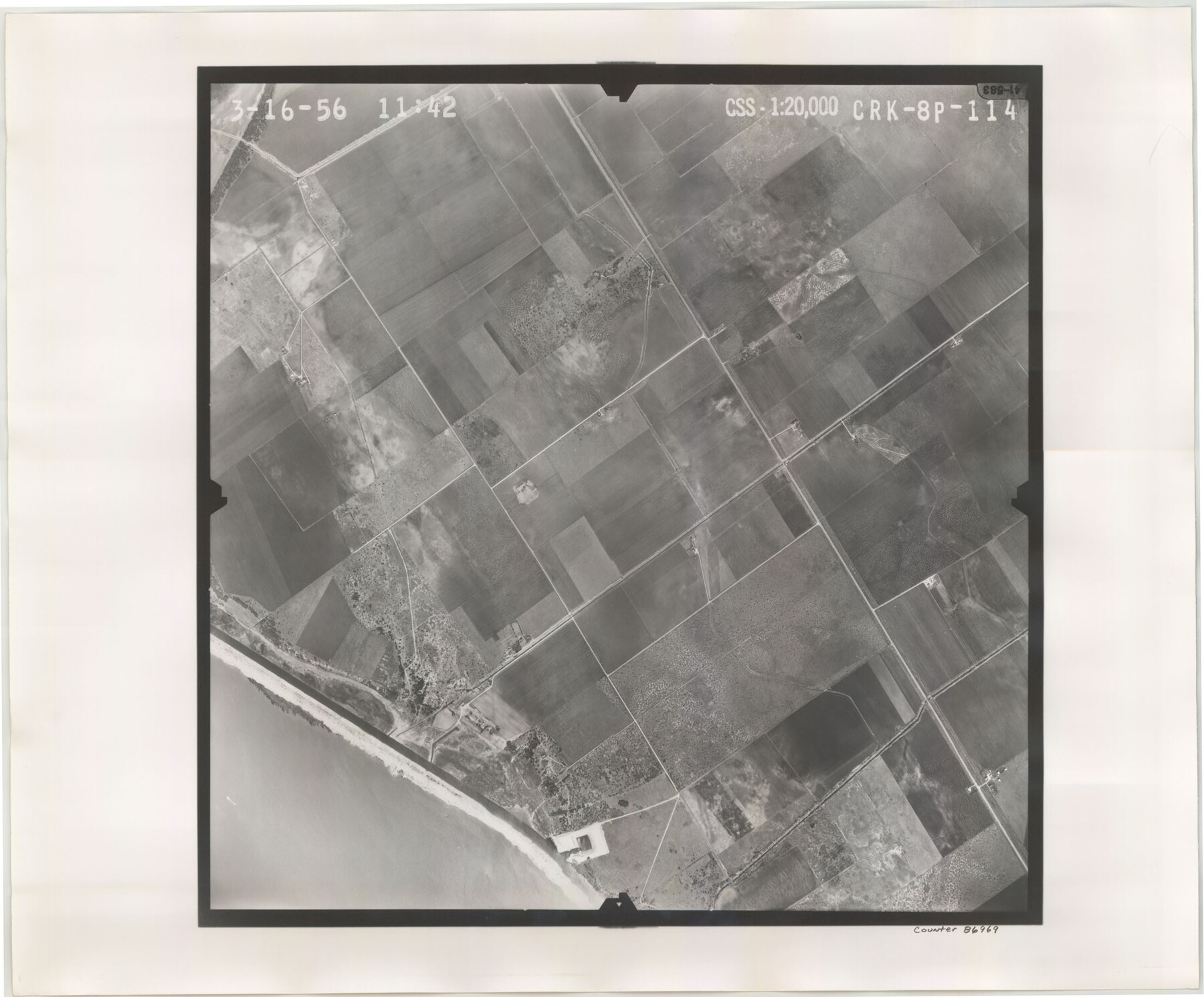
Flight Mission No. CRK-8P, Frame 114, Refugio County
CRK-8P-114
-
Map/Doc
86969
-
Collection
General Map Collection
-
Object Dates
1956/3/16 (Creation Date)
-
People and Organizations
U. S. Department of Agriculture (Publisher)
-
Counties
Refugio
-
Subjects
Aerial Photograph
-
Height x Width
18.3 x 22.1 inches
46.5 x 56.1 cm
-
Comments
Flown by V. L. Beavers and Associates of San Antonio, Texas.
Part of: General Map Collection
United States Mileage Chart / United States Mileage Table / Hawaii / Alaska

United States Mileage Chart / United States Mileage Table / Hawaii / Alaska
Size 26.5 x 38.1 inches
Map/Doc 96820
San Patricio County Sketch File 21

Print $6.00
San Patricio County Sketch File 21
1913
Size 10.3 x 13.7 inches
Map/Doc 36076
Hudspeth County Rolled Sketch 57

Print $20.00
- Digital $50.00
Hudspeth County Rolled Sketch 57
Size 38.3 x 46.0 inches
Map/Doc 9223
[F. W. & D. C. Ry. Co. Alignment and Right of Way Map, Clay County]
![64725, [F. W. & D. C. Ry. Co. Alignment and Right of Way Map, Clay County], General Map Collection](https://historictexasmaps.com/wmedia_w700/maps/64725-1.tif.jpg)
Print $20.00
- Digital $50.00
[F. W. & D. C. Ry. Co. Alignment and Right of Way Map, Clay County]
1927
Size 18.6 x 11.7 inches
Map/Doc 64725
Flight Mission No. DAG-14K, Frame 145, Matagorda County

Print $20.00
- Digital $50.00
Flight Mission No. DAG-14K, Frame 145, Matagorda County
1952
Size 18.6 x 22.6 inches
Map/Doc 86312
Donley County Sketch File 5a

Print $6.00
- Digital $50.00
Donley County Sketch File 5a
Size 11.0 x 12.6 inches
Map/Doc 21268
Crane County Sketch File 17

Print $6.00
- Digital $50.00
Crane County Sketch File 17
1927
Size 11.1 x 8.4 inches
Map/Doc 19581
Upton County Sketch File 44

Print $4.00
- Digital $50.00
Upton County Sketch File 44
Size 3.9 x 8.7 inches
Map/Doc 38931
Texas State Boundary Line 3

Print $90.00
- Digital $50.00
Texas State Boundary Line 3
Size 10.9 x 8.2 inches
Map/Doc 74904
Flight Mission No. DQN-5K, Frame 23, Calhoun County

Print $20.00
- Digital $50.00
Flight Mission No. DQN-5K, Frame 23, Calhoun County
1953
Size 18.5 x 22.1 inches
Map/Doc 84374
Leon County Rolled Sketch 31A

Print $20.00
- Digital $50.00
Leon County Rolled Sketch 31A
1995
Size 38.9 x 15.4 inches
Map/Doc 6615
Sabine Pass and mouth of the River Sabine in the sea

Print $20.00
- Digital $50.00
Sabine Pass and mouth of the River Sabine in the sea
1840
Size 23.8 x 19.0 inches
Map/Doc 94268
You may also like
Louisiana and Texas Intracoastal Waterway, Section 7, Galveston Bay to Brazos River and Section 8, Brazos River to Matagorda Bay

Print $20.00
- Digital $50.00
Louisiana and Texas Intracoastal Waterway, Section 7, Galveston Bay to Brazos River and Section 8, Brazos River to Matagorda Bay
1929
Size 30.8 x 43.0 inches
Map/Doc 61842
Jefferson County Sketch File 39

Print $20.00
- Digital $50.00
Jefferson County Sketch File 39
Size 14.3 x 8.7 inches
Map/Doc 28218
Van Zandt County Working Sketch 17

Print $20.00
- Digital $50.00
Van Zandt County Working Sketch 17
Size 17.5 x 19.1 inches
Map/Doc 72267
Flight Mission No. DQN-6K, Frame 15, Calhoun County

Print $20.00
- Digital $50.00
Flight Mission No. DQN-6K, Frame 15, Calhoun County
1953
Size 18.4 x 22.2 inches
Map/Doc 84437
Val Verde County Working Sketch 104

Print $20.00
- Digital $50.00
Val Verde County Working Sketch 104
1982
Size 26.4 x 19.0 inches
Map/Doc 72239
Map of Parmer County

Print $20.00
- Digital $50.00
Map of Parmer County
1900
Size 47.8 x 41.3 inches
Map/Doc 16786
Hockley County Sketch File 3

Print $20.00
- Digital $50.00
Hockley County Sketch File 3
Size 43.1 x 35.4 inches
Map/Doc 10490
Clarendon, Texas, Donley Co.

Print $20.00
Clarendon, Texas, Donley Co.
1890
Size 17.4 x 28.6 inches
Map/Doc 93468
The Republic County of Travis. December 29, 1845

Print $20.00
The Republic County of Travis. December 29, 1845
2020
Size 20.8 x 21.6 inches
Map/Doc 96293
Map of Fannin County

Print $20.00
- Digital $50.00
Map of Fannin County
1866
Size 21.9 x 18.1 inches
Map/Doc 3534
Parker County Sketch File B

Print $24.00
- Digital $50.00
Parker County Sketch File B
1858
Size 12.5 x 8.2 inches
Map/Doc 33509
Brazos River Conservation and Reclamation District Official Boundary Line Survey

Print $20.00
- Digital $50.00
Brazos River Conservation and Reclamation District Official Boundary Line Survey
Size 37.3 x 24.7 inches
Map/Doc 90129