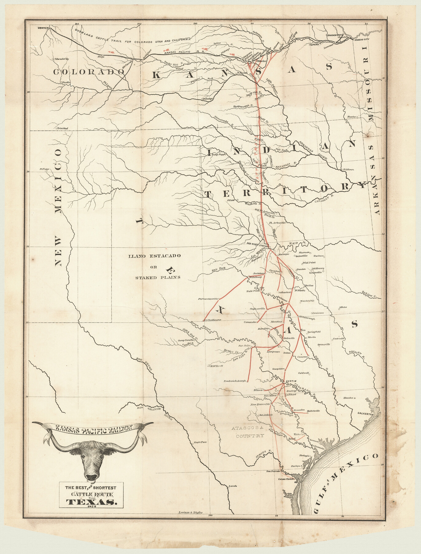
Kansas Pacific Railway: The Best and Shortest Cattle Route from Texas
-
Map/Doc
94453
-
Collection
Non-GLO Digital Images
-
Object Dates
1872 (Creation Date)
-
People and Organizations
Kansas Pacific Railway (Publisher)
Levison & Blythe (Printer)
-
Subjects
Railroads
-
Height x Width
21.4 x 16.3 inches
54.4 x 41.4 cm
-
Medium
digital image
-
Comments
Image provided by Ted and Sharon Lusher of Austin, TX
Part of: Non-GLO Digital Images
Carte de la Louisiane et Pays Voisins Pour servir a l'Histoire Generale des Voyages

Print $20.00
Carte de la Louisiane et Pays Voisins Pour servir a l'Histoire Generale des Voyages
1757
Size 9.6 x 14.9 inches
Map/Doc 94572
Gulf States and Arkansas

Print $20.00
Gulf States and Arkansas
1874
Size 9.4 x 12.0 inches
Map/Doc 95285
Map of South Eastern Washington Territory

Print $20.00
Map of South Eastern Washington Territory
1878
Size 31.3 x 41.1 inches
Map/Doc 93942
Kansas Pacific Railway: The Best and Shortest Cattle Route from Texas

Print $20.00
Kansas Pacific Railway: The Best and Shortest Cattle Route from Texas
1872
Size 21.4 x 16.3 inches
Map/Doc 94453
Plano del Presidio de Bahia dl Espiritus to dep te d' la Governacion de los Tejas

Plano del Presidio de Bahia dl Espiritus to dep te d' la Governacion de los Tejas
1766
Size 10.2 x 13.0 inches
Map/Doc 96516
Preliminary Survey of the Entrance to the Rio Grande, Texas

Print $20.00
Preliminary Survey of the Entrance to the Rio Grande, Texas
1854
Size 14.2 x 14.9 inches
Map/Doc 95283
Oldham County Surveyor's Oath of Office

Print $3.00
Oldham County Surveyor's Oath of Office
1881
Size 15.2 x 9.7 inches
Map/Doc 47716

Amérique Septentrionale

Print $20.00
Amérique Septentrionale
1845
Size 13.8 x 20.3 inches
Map/Doc 94571
A Map of Austin's Colony and adjacent country in Texas drawn principally from actual survey by Stephen F. Austin

A Map of Austin's Colony and adjacent country in Texas drawn principally from actual survey by Stephen F. Austin
1820
Size 13.8 x 17.0 inches
Map/Doc 93353
Perspective Map of Fort Worth, Tex.

Print $20.00
Perspective Map of Fort Worth, Tex.
1891
Size 19.9 x 33.0 inches
Map/Doc 89083
Bird's Eye View of the City of Belton, Bell County, Texas

Print $20.00
Bird's Eye View of the City of Belton, Bell County, Texas
1881
Size 18.5 x 23.8 inches
Map/Doc 89074
You may also like
McLennan County Sketch File 8

Print $14.00
- Digital $50.00
McLennan County Sketch File 8
1858
Size 12.4 x 7.7 inches
Map/Doc 31251
Brazoria County Working Sketch 48

Print $20.00
- Digital $50.00
Brazoria County Working Sketch 48
1990
Size 25.2 x 29.5 inches
Map/Doc 67533
Blanco County Working Sketch 8

Print $20.00
- Digital $50.00
Blanco County Working Sketch 8
1925
Size 23.0 x 22.3 inches
Map/Doc 67368
Lubbock County Sketch File 1

Print $20.00
- Digital $50.00
Lubbock County Sketch File 1
1884
Size 22.5 x 27.6 inches
Map/Doc 12015
Vias de Comunicacion y Movimiento Maritimo

Print $20.00
- Digital $50.00
Vias de Comunicacion y Movimiento Maritimo
Size 26.1 x 34.2 inches
Map/Doc 96800
Van Zandt County Working Sketch 15

Print $20.00
- Digital $50.00
Van Zandt County Working Sketch 15
1982
Size 30.9 x 39.0 inches
Map/Doc 72265

Aransas County NRC Article 33.136 Sketch 2

Print $26.00
- Digital $50.00
Aransas County NRC Article 33.136 Sketch 2
2001
Size 18.6 x 24.2 inches
Map/Doc 61643
Coryell County Working Sketch 14

Print $20.00
- Digital $50.00
Coryell County Working Sketch 14
1950
Size 19.4 x 17.5 inches
Map/Doc 68221
The Republic County of Harris. January 25, 1840

Print $20.00
The Republic County of Harris. January 25, 1840
2020
Size 17.7 x 21.7 inches
Map/Doc 96165
Erath County Rolled Sketch 3A

Print $20.00
- Digital $50.00
Erath County Rolled Sketch 3A
1982
Size 21.7 x 27.8 inches
Map/Doc 5865
The Republic County of Harrison. January 16, 1843

Print $20.00
The Republic County of Harrison. January 16, 1843
2020
Size 18.6 x 21.7 inches
Map/Doc 96174