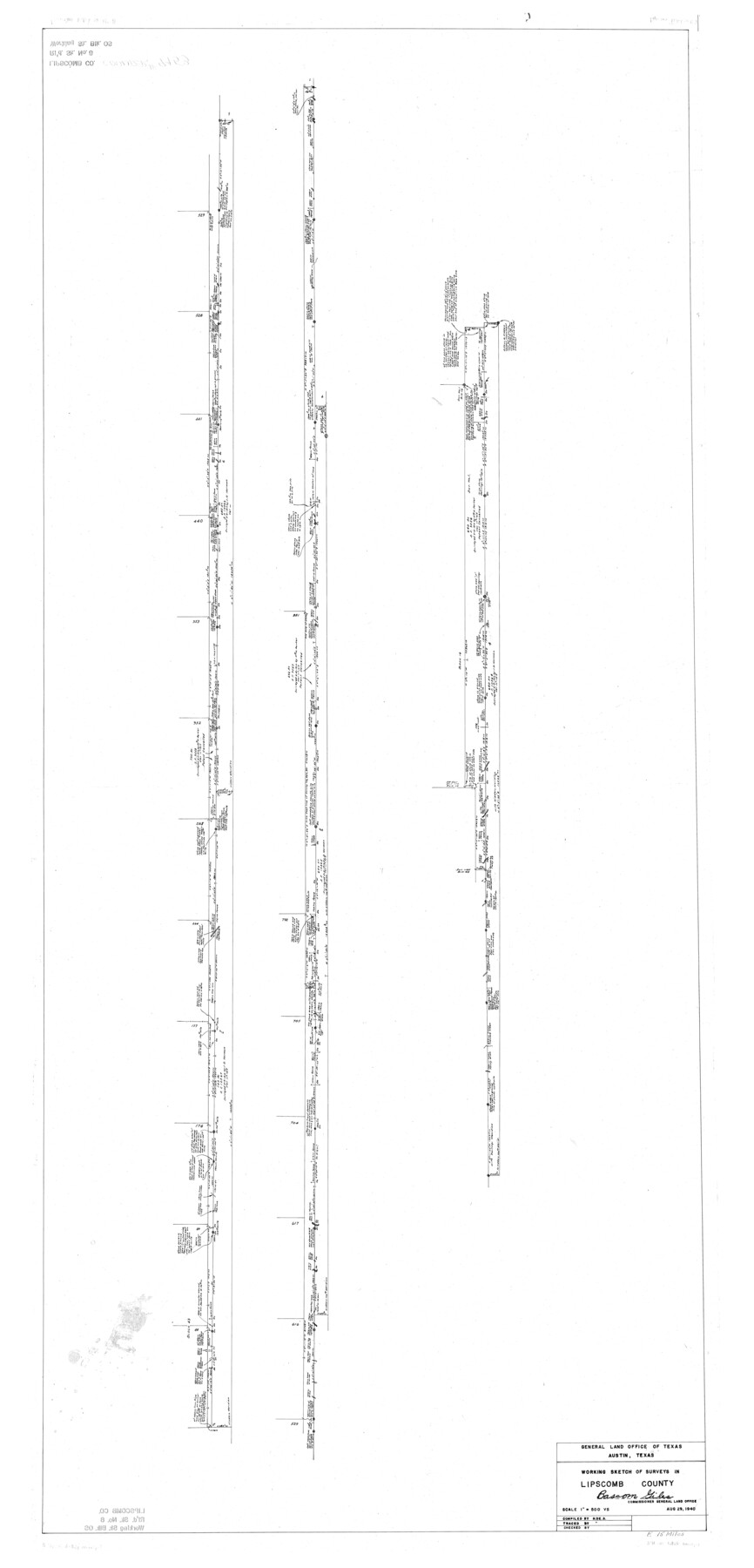
Lipscomb County Rolled Sketch 8
Working Sketch of surveys in Lipscomb County
-
Map/Doc
9453
-
Collection
General Map Collection
-
Object Dates
1940/8/29 (Creation Date)
-
Counties
Lipscomb
-
Subjects
Surveying Rolled Sketch
-
Height x Width
59.2 x 28.5 inches
150.4 x 72.4 cm
-
Scale
1" = 500 varas
Part of: General Map Collection
Taylor County Working Sketch Graphic Index

Print $20.00
- Digital $50.00
Taylor County Working Sketch Graphic Index
1934
Size 42.8 x 36.4 inches
Map/Doc 76709
Victoria County Rolled Sketch 4B

Print $40.00
- Digital $50.00
Victoria County Rolled Sketch 4B
1963
Size 65.3 x 43.3 inches
Map/Doc 10096
Flight Mission No. BRA-8M, Frame 87, Jefferson County

Print $20.00
- Digital $50.00
Flight Mission No. BRA-8M, Frame 87, Jefferson County
1953
Size 18.6 x 22.3 inches
Map/Doc 85607
Upshur County Working Sketch 2

Print $20.00
- Digital $50.00
Upshur County Working Sketch 2
1934
Size 16.3 x 21.4 inches
Map/Doc 69558
Donley County Boundary File 6

Print $6.00
- Digital $50.00
Donley County Boundary File 6
Size 5.7 x 8.7 inches
Map/Doc 52637
Map of Bexar County

Print $40.00
- Digital $50.00
Map of Bexar County
1845
Size 90.6 x 81.0 inches
Map/Doc 82242
Upton County Rolled Sketch 58

Print $20.00
- Digital $50.00
Upton County Rolled Sketch 58
1988
Size 38.6 x 36.2 inches
Map/Doc 10061
Panola County Sketch File 23

Print $20.00
- Digital $50.00
Panola County Sketch File 23
Size 23.1 x 17.5 inches
Map/Doc 12139
Flight Mission No. DQN-2K, Frame 94, Calhoun County

Print $20.00
- Digital $50.00
Flight Mission No. DQN-2K, Frame 94, Calhoun County
1953
Size 16.6 x 16.2 inches
Map/Doc 84284
Palo Pinto County Working Sketch Graphic Index

Print $20.00
- Digital $50.00
Palo Pinto County Working Sketch Graphic Index
1941
Map/Doc 76659
Cherokee County Sketch File 8

Print $4.00
- Digital $50.00
Cherokee County Sketch File 8
1854
Size 10.3 x 8.1 inches
Map/Doc 18130
Map of Castro's Colony - Bexar District

Print $20.00
- Digital $50.00
Map of Castro's Colony - Bexar District
1851
Size 36.4 x 33.1 inches
Map/Doc 1962
You may also like
The Republic County of Rusk. December 31, 1844

Print $20.00
The Republic County of Rusk. December 31, 1844
2020
Size 19.1 x 21.7 inches
Map/Doc 96266
Maps of Gulf Intracoastal Waterway, Texas - Sabine River to the Rio Grande and connecting waterways including ship channels

Print $20.00
- Digital $50.00
Maps of Gulf Intracoastal Waterway, Texas - Sabine River to the Rio Grande and connecting waterways including ship channels
1966
Size 14.5 x 22.3 inches
Map/Doc 61944
Roberts County Working Sketch 42

Print $20.00
- Digital $50.00
Roberts County Working Sketch 42
1978
Size 26.7 x 22.7 inches
Map/Doc 63568

Webb County Working Sketch 83

Print $20.00
- Digital $50.00
Webb County Working Sketch 83
1980
Size 20.7 x 34.9 inches
Map/Doc 72450
Scurry County Rolled Sketch 9

Print $20.00
- Digital $50.00
Scurry County Rolled Sketch 9
1963
Size 23.0 x 22.0 inches
Map/Doc 7769
Edwards County Working Sketch 26

Print $20.00
- Digital $50.00
Edwards County Working Sketch 26
1942
Size 31.8 x 28.8 inches
Map/Doc 68902
Galveston Island

Print $20.00
- Digital $50.00
Galveston Island
1837
Size 24.1 x 37.2 inches
Map/Doc 2009
Medina County Working Sketch 29

Print $20.00
- Digital $50.00
Medina County Working Sketch 29
Size 40.1 x 25.0 inches
Map/Doc 70944
Flight Mission No. DIX-10P, Frame 148, Aransas County

Print $20.00
- Digital $50.00
Flight Mission No. DIX-10P, Frame 148, Aransas County
1956
Size 18.6 x 22.3 inches
Map/Doc 83950
Karnes County Working Sketch 11

Print $40.00
- Digital $50.00
Karnes County Working Sketch 11
1975
Size 38.1 x 53.6 inches
Map/Doc 66659
Caldwell County Working Sketch 6

Print $20.00
- Digital $50.00
Caldwell County Working Sketch 6
1958
Size 21.8 x 26.3 inches
Map/Doc 67836