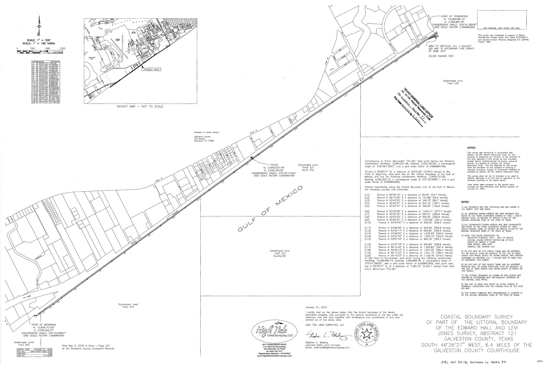
Galveston County NRC Article 33.136 Sketch 77
Coastal Boundary Survey of part of the littoral boundary of the Edward Hall and Levi Jones survey, abstract 121
-
Map/Doc
94991
-
Collection
General Map Collection
-
Object Dates
2015/1/31 (Creation Date)
2018/6/20 (File Date)
-
People and Organizations
Stephen C. Blaskey (Surveyor/Engineer)
-
Counties
Galveston
-
Subjects
Surveying CBS
-
Height x Width
24.0 x 36.0 inches
61.0 x 91.4 cm
-
Medium
multi-page, multi-format
-
Scale
1" = 500' = 180 varas
-
Comments
Project: Galveston Seawall BUDM West of 61st to 103rd Street Project No.: SL20150012 (GLO); CEPRA 1609
Part of: General Map Collection
Wood County Boundary File 2a

Print $6.00
- Digital $50.00
Wood County Boundary File 2a
Size 10.0 x 8.0 inches
Map/Doc 60159
Old Miscellaneous File 27a

Print $142.00
- Digital $50.00
Old Miscellaneous File 27a
Size 14.2 x 8.8 inches
Map/Doc 75651
Randall County Rolled Sketch 5

Print $20.00
- Digital $50.00
Randall County Rolled Sketch 5
1945
Size 29.7 x 17.6 inches
Map/Doc 7425
Flight Mission No. DIX-6P, Frame 192, Aransas County

Print $20.00
- Digital $50.00
Flight Mission No. DIX-6P, Frame 192, Aransas County
1956
Size 19.0 x 22.8 inches
Map/Doc 83854
Map of Travis County

Print $20.00
- Digital $50.00
Map of Travis County
1875
Size 20.6 x 26.4 inches
Map/Doc 4093
Rusk County Sketch File 17a

Print $4.00
Rusk County Sketch File 17a
Size 8.4 x 7.8 inches
Map/Doc 35522
Upshur County Sketch File 13B

Print $20.00
- Digital $50.00
Upshur County Sketch File 13B
1936
Size 20.5 x 32.3 inches
Map/Doc 12504
Liberty County Working Sketch 88

Print $20.00
- Digital $50.00
Liberty County Working Sketch 88
1991
Size 19.6 x 38.8 inches
Map/Doc 70548
Real County Working Sketch 5

Print $20.00
- Digital $50.00
Real County Working Sketch 5
1924
Size 17.9 x 29.1 inches
Map/Doc 71897
Foard County Rolled Sketch 15

Print $20.00
- Digital $50.00
Foard County Rolled Sketch 15
1889
Size 19.9 x 38.3 inches
Map/Doc 5890
Angelina County Sketch File 30

Print $40.00
- Digital $50.00
Angelina County Sketch File 30
1920
Size 24.5 x 32.7 inches
Map/Doc 10818
Parker County Working Sketch 16

Print $20.00
- Digital $50.00
Parker County Working Sketch 16
1990
Map/Doc 71466
You may also like
Montague County Sketch File 10

Print $4.00
- Digital $50.00
Montague County Sketch File 10
1873
Size 7.9 x 11.8 inches
Map/Doc 31732
Texas City Channel, Texas, Channel and Turning Basin Dredging - Sheet 3

Print $20.00
- Digital $50.00
Texas City Channel, Texas, Channel and Turning Basin Dredging - Sheet 3
1958
Size 28.4 x 40.6 inches
Map/Doc 61833

El Paso County Working Sketch 12

Print $20.00
- Digital $50.00
El Paso County Working Sketch 12
1956
Size 33.0 x 41.4 inches
Map/Doc 69034
Upshur County Sketch File 1

Print $9.00
- Digital $50.00
Upshur County Sketch File 1
1854
Size 5.5 x 4.5 inches
Map/Doc 38728
Culberson County Rolled Sketch 52

Print $20.00
- Digital $50.00
Culberson County Rolled Sketch 52
Size 19.1 x 24.7 inches
Map/Doc 5672
Flight Mission No. DCL-3C, Frame 105, Kenedy County

Print $20.00
- Digital $50.00
Flight Mission No. DCL-3C, Frame 105, Kenedy County
1943
Size 18.6 x 22.2 inches
Map/Doc 85800
Medina County Sketch File 7

Print $20.00
- Digital $50.00
Medina County Sketch File 7
Size 25.0 x 10.6 inches
Map/Doc 12067
Encinal County

Print $20.00
- Digital $50.00
Encinal County
1886
Size 32.2 x 23.6 inches
Map/Doc 3518
Plat of a survey on Padre Island in Cameron County surveyed for South Padre Development Corporation by Claunch and Associates

Print $40.00
- Digital $50.00
Plat of a survey on Padre Island in Cameron County surveyed for South Padre Development Corporation by Claunch and Associates
1970
Size 61.8 x 40.0 inches
Map/Doc 61429
Galveston County NRC Article 33.136 Sketch 39

Print $24.00
- Digital $50.00
Galveston County NRC Article 33.136 Sketch 39
2005
Size 25.0 x 25.4 inches
Map/Doc 83084
The Land Offices. No. 3, Liberty, December 22, 1836

Print $20.00
The Land Offices. No. 3, Liberty, December 22, 1836
2020
Size 16.0 x 21.7 inches
Map/Doc 96416