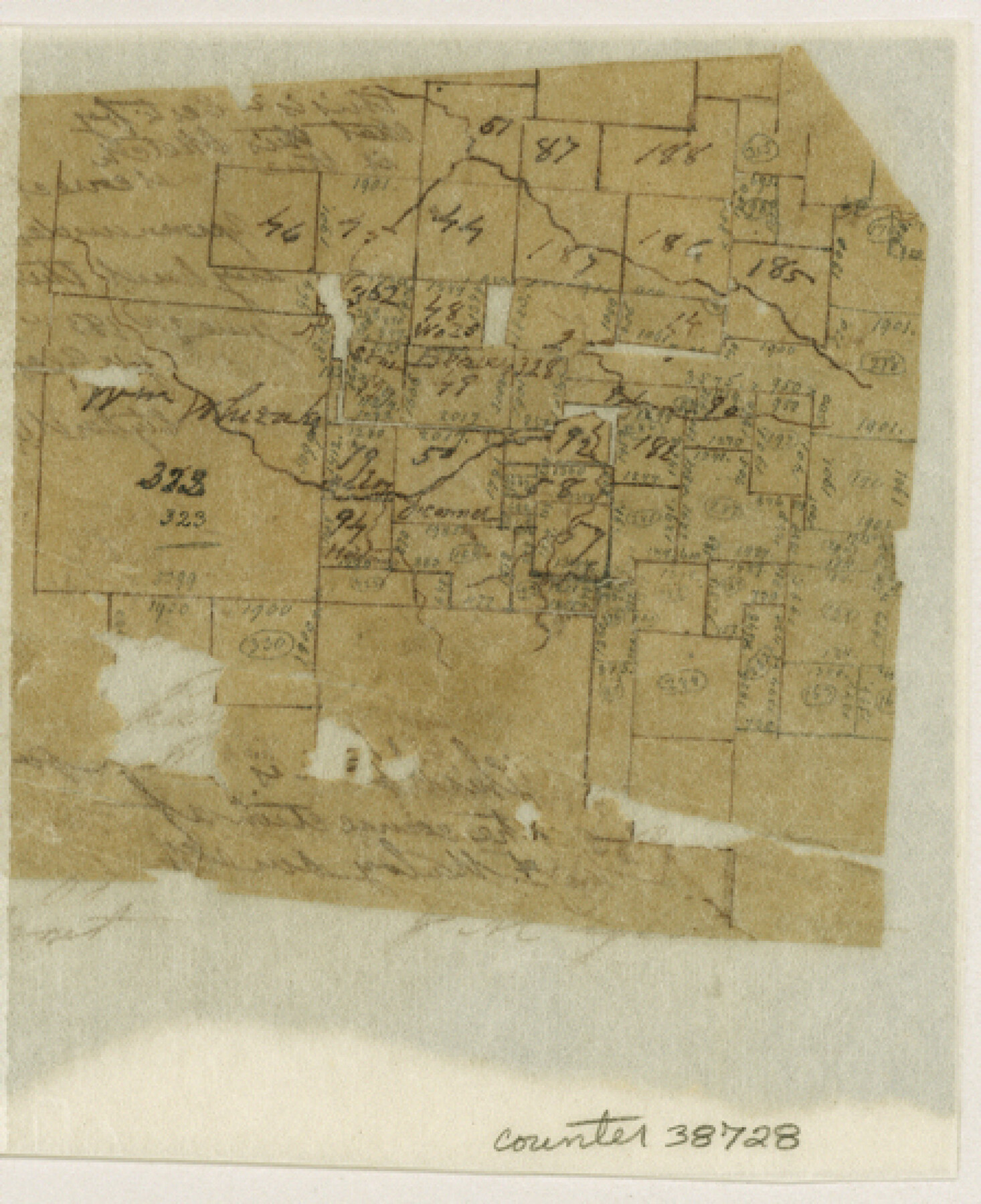
Upshur County Sketch File 1
[Sketch on the west county line on the headwaters of Little Cypress Creek]
-
Map/Doc
38728
-
Collection
General Map Collection
-
Object Dates
6/3/1854 (Creation Date)
8/18/1854 (File Date)
-
People and Organizations
J.M. Glasco (Surveyor/Engineer)
-
Counties
Upshur
-
Subjects
Surveying Sketch File
-
Height x Width
5.5 x 4.5 inches
14.0 x 11.4 cm
-
Medium
paper, manuscript
-
Features
Little Cypress Creek
Part of: General Map Collection
Galveston/Galveston Island, Texas

Galveston/Galveston Island, Texas
Size 18.4 x 24.2 inches
Map/Doc 94345
Cooke County Rolled Sketch 7

Print $20.00
- Digital $50.00
Cooke County Rolled Sketch 7
2002
Size 44.8 x 34.9 inches
Map/Doc 77525
Childress County Rolled Sketch 13

Print $20.00
- Digital $50.00
Childress County Rolled Sketch 13
1910
Size 8.9 x 30.0 inches
Map/Doc 5450
Brewster County Working Sketch 45

Print $40.00
- Digital $50.00
Brewster County Working Sketch 45
1948
Size 53.6 x 36.1 inches
Map/Doc 67579
Taylor County Rolled Sketch 21

Print $20.00
- Digital $50.00
Taylor County Rolled Sketch 21
Size 31.5 x 40.5 inches
Map/Doc 9985
Pecos County Working Sketch 38

Print $20.00
- Digital $50.00
Pecos County Working Sketch 38
1939
Size 29.5 x 42.7 inches
Map/Doc 71510
Navigation Maps of Gulf Intracoastal Waterway, Port Arthur to Brownsville, Texas

Print $4.00
- Digital $50.00
Navigation Maps of Gulf Intracoastal Waterway, Port Arthur to Brownsville, Texas
1951
Size 16.8 x 21.6 inches
Map/Doc 65419
Crosby County Sketch File 17

Print $4.00
- Digital $50.00
Crosby County Sketch File 17
1907
Size 4.2 x 8.9 inches
Map/Doc 20069
Live Oak County Sketch File 22

Print $20.00
- Digital $50.00
Live Oak County Sketch File 22
Size 17.4 x 9.7 inches
Map/Doc 30299
Jeff Davis County Working Sketch 26

Print $20.00
- Digital $50.00
Jeff Davis County Working Sketch 26
1960
Size 22.0 x 32.6 inches
Map/Doc 66521
Lampasas County Working Sketch 1

Print $20.00
- Digital $50.00
Lampasas County Working Sketch 1
Size 16.2 x 20.3 inches
Map/Doc 70278
Live Oak County Working Sketch 17

Print $20.00
- Digital $50.00
Live Oak County Working Sketch 17
1960
Size 29.5 x 26.9 inches
Map/Doc 70602
You may also like
Castro County Boundary File 1 and 1a

Print $44.00
- Digital $50.00
Castro County Boundary File 1 and 1a
Size 8.9 x 9.9 inches
Map/Doc 51186
Flight Mission No. CUG-2P, Frame 77, Kleberg County

Print $20.00
- Digital $50.00
Flight Mission No. CUG-2P, Frame 77, Kleberg County
1956
Size 18.6 x 22.3 inches
Map/Doc 86209
Township 12 North Range 16 West, North Western District, Louisiana

Print $20.00
- Digital $50.00
Township 12 North Range 16 West, North Western District, Louisiana
1837
Size 19.7 x 24.8 inches
Map/Doc 65868
Callahan County Sketch File 16

Print $4.00
- Digital $50.00
Callahan County Sketch File 16
Size 14.6 x 8.7 inches
Map/Doc 35895
Ellis County Working Sketch 1

Print $20.00
- Digital $50.00
Ellis County Working Sketch 1
1939
Size 19.1 x 19.3 inches
Map/Doc 69017
Visitors' Map of Galveston also showing County Shell Road to Houston

Print $20.00
- Digital $50.00
Visitors' Map of Galveston also showing County Shell Road to Houston
Size 19.6 x 23.9 inches
Map/Doc 95319
Glasscock County Working Sketch 15

Print $40.00
- Digital $50.00
Glasscock County Working Sketch 15
1984
Size 65.6 x 42.1 inches
Map/Doc 63188
Flight Mission No. DQN-2K, Frame 189, Calhoun County

Print $20.00
- Digital $50.00
Flight Mission No. DQN-2K, Frame 189, Calhoun County
1953
Size 16.1 x 16.0 inches
Map/Doc 84330
Aransas County Rolled Sketch 2

Print $40.00
- Digital $50.00
Aransas County Rolled Sketch 2
Size 42.9 x 48.2 inches
Map/Doc 73614
Polk County Working Sketch 23b

Print $40.00
- Digital $50.00
Polk County Working Sketch 23b
1957
Size 28.8 x 54.6 inches
Map/Doc 71639
Brewster County Sketch File N-9

Print $40.00
- Digital $50.00
Brewster County Sketch File N-9
Size 17.4 x 15.7 inches
Map/Doc 10964
