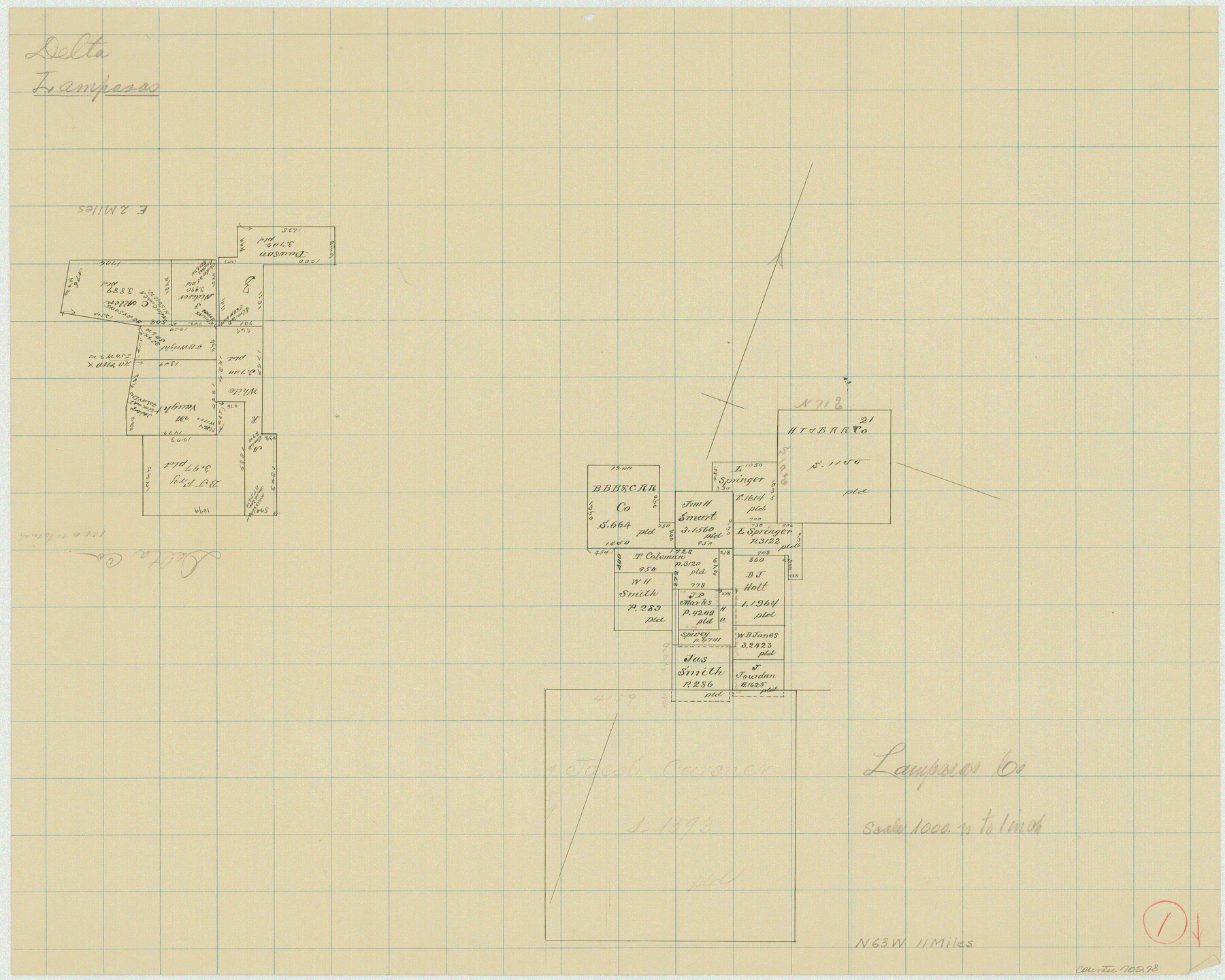
Lampasas County Working Sketch 1
-
Map/Doc
70278
-
Collection
General Map Collection
-
Counties
Lampasas Delta
-
Subjects
Surveying Working Sketch
-
Height x Width
16.2 x 20.3 inches
41.2 x 51.6 cm
-
Scale
1" = 1000 varas
Part of: General Map Collection
Edwards County Boundary File 27e

Print $11.00
- Digital $50.00
Edwards County Boundary File 27e
Size 12.8 x 8.5 inches
Map/Doc 52906
Flight Mission No. CRC-1R, Frame 153, Chambers County

Print $20.00
- Digital $50.00
Flight Mission No. CRC-1R, Frame 153, Chambers County
1956
Size 18.8 x 22.5 inches
Map/Doc 84715
Galveston County Sketch File 66

Print $116.00
- Digital $50.00
Galveston County Sketch File 66
Size 5.0 x 10.0 inches
Map/Doc 23751
Hemphill County Sketch File 3

Print $8.00
- Digital $50.00
Hemphill County Sketch File 3
Size 11.4 x 6.5 inches
Map/Doc 26285
Map of the Lands Surveyed by the Memphis, El Paso & Pacific R.R. Company

Print $20.00
- Digital $50.00
Map of the Lands Surveyed by the Memphis, El Paso & Pacific R.R. Company
1859
Size 13.9 x 21.3 inches
Map/Doc 4849
Sutton County Rolled Sketch 41

Print $20.00
- Digital $50.00
Sutton County Rolled Sketch 41
1938
Size 34.5 x 23.3 inches
Map/Doc 7883
Real County Working Sketch 13

Print $20.00
- Digital $50.00
Real County Working Sketch 13
1931
Size 24.2 x 33.3 inches
Map/Doc 71905
Borden County Sketch File 12

Print $24.00
- Digital $50.00
Borden County Sketch File 12
Size 10.8 x 9.1 inches
Map/Doc 14732
Flight Mission No. BRE-3P, Frame 34, Nueces County

Print $20.00
- Digital $50.00
Flight Mission No. BRE-3P, Frame 34, Nueces County
1956
Size 18.5 x 22.3 inches
Map/Doc 86812
Hood County Working Sketch 20

Print $20.00
- Digital $50.00
Hood County Working Sketch 20
1989
Size 39.6 x 34.7 inches
Map/Doc 66214
Wheeler County Working Sketch 3

Print $40.00
- Digital $50.00
Wheeler County Working Sketch 3
1972
Size 73.8 x 43.7 inches
Map/Doc 72492
Brewster County Sketch File NS-4g

Print $4.00
- Digital $50.00
Brewster County Sketch File NS-4g
1930
Size 10.5 x 7.2 inches
Map/Doc 15981
You may also like
Trinity River, Kaufman Sheet/Kings Creek

Print $6.00
- Digital $50.00
Trinity River, Kaufman Sheet/Kings Creek
1930
Size 32.6 x 27.0 inches
Map/Doc 65228
[Part of Wichita County in the vicinity of Elizabeth Stanley survey 812 and W. M. Rivers survey 810]
![91971, [Part of Wichita County in the vicinity of Elizabeth Stanley survey 812 and W. M. Rivers survey 810], Twichell Survey Records](https://historictexasmaps.com/wmedia_w700/maps/91971-1.tif.jpg)
Print $3.00
- Digital $50.00
[Part of Wichita County in the vicinity of Elizabeth Stanley survey 812 and W. M. Rivers survey 810]
1920
Size 11.5 x 11.7 inches
Map/Doc 91971
Harris County Boundary File 40

Print $8.00
- Digital $50.00
Harris County Boundary File 40
Size 14.2 x 8.7 inches
Map/Doc 54370
Duval County Working Sketch 31

Print $20.00
- Digital $50.00
Duval County Working Sketch 31
1950
Size 29.1 x 34.0 inches
Map/Doc 68755
Atascosa County Sketch File 16

Print $4.00
- Digital $50.00
Atascosa County Sketch File 16
1877
Size 12.2 x 7.9 inches
Map/Doc 13779
Flight Mission No. DCL-6C, Frame 13, Kenedy County

Print $20.00
- Digital $50.00
Flight Mission No. DCL-6C, Frame 13, Kenedy County
1943
Size 18.6 x 22.3 inches
Map/Doc 85870
Kendall County Sketch File 25

Print $6.00
- Digital $50.00
Kendall County Sketch File 25
1950
Size 11.2 x 8.6 inches
Map/Doc 28722
McMullen County Working Sketch Graphic Index

Print $40.00
- Digital $50.00
McMullen County Working Sketch Graphic Index
1967
Size 49.4 x 34.6 inches
Map/Doc 76638
Subdivision Map of Floyd County School Land Situated in Bailey County, Texas

Print $20.00
- Digital $50.00
Subdivision Map of Floyd County School Land Situated in Bailey County, Texas
Size 20.5 x 25.1 inches
Map/Doc 92530
Reeves County Sketch File 4

Print $20.00
- Digital $50.00
Reeves County Sketch File 4
Size 32.8 x 12.2 inches
Map/Doc 12240
Wichita County Sketch File 23a

Print $10.00
- Digital $50.00
Wichita County Sketch File 23a
1911
Size 14.2 x 8.8 inches
Map/Doc 40109
General Highway Map, Travis County, Texas

Print $20.00
General Highway Map, Travis County, Texas
1961
Size 18.2 x 24.7 inches
Map/Doc 79680