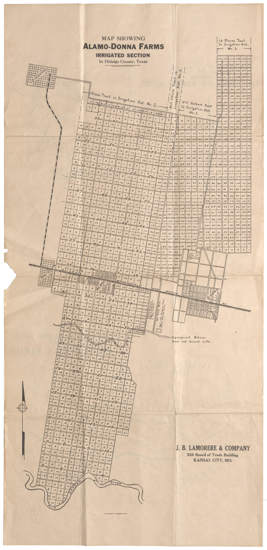
Map showing Alamo-Donna Farms, Irrigated Section in Hidalgo County, Texas
-
Map/Doc
95803
-
Collection
Cobb Digital Map Collection
-
Object Dates
[1920 ca.] (Creation Date)
-
Height x Width
27.5 x 13.3 inches
69.9 x 33.8 cm
-
Medium
digital image
-
Comments
Courtesy of John & Diana Cobb.
Part of: Cobb Digital Map Collection


The Beautiful Valley of the Lower Rio Grande of Texas

The Beautiful Valley of the Lower Rio Grande of Texas
1928
Map/Doc 96739
Map of the United States to accompany Granger's Southern and Western Texas Guide

Print $20.00
- Digital $50.00
Map of the United States to accompany Granger's Southern and Western Texas Guide
1878
Size 26.7 x 20.9 inches
Map/Doc 96613
Your Opportunity - the Magic Valley - Money Will Grow on Trees! Learn Where How and Why!

Your Opportunity - the Magic Valley - Money Will Grow on Trees! Learn Where How and Why!
1928
Map/Doc 96740
Sectional map of Texas traversed by the Missouri, Kansas & Texas Railway, showing the crops adapted to each section, with the elevation and annual rainfall

Print $20.00
- Digital $50.00
Sectional map of Texas traversed by the Missouri, Kansas & Texas Railway, showing the crops adapted to each section, with the elevation and annual rainfall
1904
Size 21.9 x 22.6 inches
Map/Doc 95813
San Benito, Texas in the Lower Rio Grande Valley [Frisco Lines]
![95795, San Benito, Texas in the Lower Rio Grande Valley [Frisco Lines], Cobb Digital Map Collection](https://historictexasmaps.com/wmedia_w700/maps/95795.tif.jpg)
Print $20.00
- Digital $50.00
San Benito, Texas in the Lower Rio Grande Valley [Frisco Lines]
1910
Size 19.5 x 19.4 inches
Map/Doc 95795
Profitable Products of East Texas, Orchards and Gardens

Profitable Products of East Texas, Orchards and Gardens
1910
Map/Doc 96775
County Map of the Pan-Handle of Texas and the line of the Texas Pan-Handle Route

Print $20.00
- Digital $50.00
County Map of the Pan-Handle of Texas and the line of the Texas Pan-Handle Route
1900
Size 7.2 x 10.3 inches
Map/Doc 95888
Competing Transportation Lines between Boston, New York, Philadelphia, Baltimore, and the South Atlantic and Gulf States

Print $20.00
- Digital $50.00
Competing Transportation Lines between Boston, New York, Philadelphia, Baltimore, and the South Atlantic and Gulf States
1881
Size 15.1 x 17.8 inches
Map/Doc 95907
I. & G. N. - International and Great Northern R.R. - International Route - Galveston, Ft. Worth, Waco, Houston, Austin, Laredo, San Antonio

Print $20.00
- Digital $50.00
I. & G. N. - International and Great Northern R.R. - International Route - Galveston, Ft. Worth, Waco, Houston, Austin, Laredo, San Antonio
1905
Size 23.5 x 15.8 inches
Map/Doc 95778
You may also like
Howard County Sketch File 6

Print $44.00
- Digital $50.00
Howard County Sketch File 6
1929
Size 18.6 x 14.4 inches
Map/Doc 26861
La Salle County Working Sketch 29

Print $20.00
- Digital $50.00
La Salle County Working Sketch 29
1955
Size 25.8 x 27.4 inches
Map/Doc 70330
Hansford County

Print $20.00
- Digital $50.00
Hansford County
1902
Size 42.3 x 37.5 inches
Map/Doc 4969
The Republic County of Bexar. December 31, 1838

Print $20.00
The Republic County of Bexar. December 31, 1838
2020
Size 24.6 x 21.6 inches
Map/Doc 96096
Garza County Sketch File 32

Print $28.00
- Digital $50.00
Garza County Sketch File 32
1932
Size 8.9 x 14.3 inches
Map/Doc 24109
Conoco Official Road Map New Mexico

Print $20.00
- Digital $50.00
Conoco Official Road Map New Mexico
1934
Size 18.5 x 24.4 inches
Map/Doc 92436
Mason County Sketch File 13

Print $4.00
- Digital $50.00
Mason County Sketch File 13
Size 7.3 x 6.2 inches
Map/Doc 30701
Bastrop County Sketch File 10

Print $4.00
- Digital $50.00
Bastrop County Sketch File 10
1979
Size 14.3 x 8.8 inches
Map/Doc 14056

Flight Mission No. BRA-7M, Frame 127, Jefferson County

Print $20.00
- Digital $50.00
Flight Mission No. BRA-7M, Frame 127, Jefferson County
1953
Size 18.5 x 22.3 inches
Map/Doc 85521
Tarrant County Sketch File 1a

Print $4.00
- Digital $50.00
Tarrant County Sketch File 1a
1851
Size 10.2 x 7.8 inches
Map/Doc 37670
[In Northwest 1/4 of County in the vicinity of the John Walker Survey]
![90910, [In Northwest 1/4 of County in the vicinity of the John Walker Survey], Twichell Survey Records](https://historictexasmaps.com/wmedia_w700/maps/90910-1.tif.jpg)
Print $20.00
- Digital $50.00
[In Northwest 1/4 of County in the vicinity of the John Walker Survey]
Size 15.2 x 23.9 inches
Map/Doc 90910