Der Statt Themistitan in den Newen Inseln gelegen figurierung
-
Map/Doc
97027
-
Collection
General Map Collection
-
Object Dates
1592 (Creation Date)
-
People and Organizations
Sebastian Münster (Cartographer)
-
Subjects
City Mexico
-
Height x Width
12.4 x 15.4 inches
31.5 x 39.1 cm
-
Medium
paper, etching/engraving/lithograph
-
Comments
Verso of map 97026.
Related maps
Il Cuscho Citta Principale Della Provincia del Peru


Print $20.00
- Digital $50.00
Il Cuscho Citta Principale Della Provincia del Peru
1592
Size 12.3 x 15.4 inches
Map/Doc 97026
Part of: General Map Collection
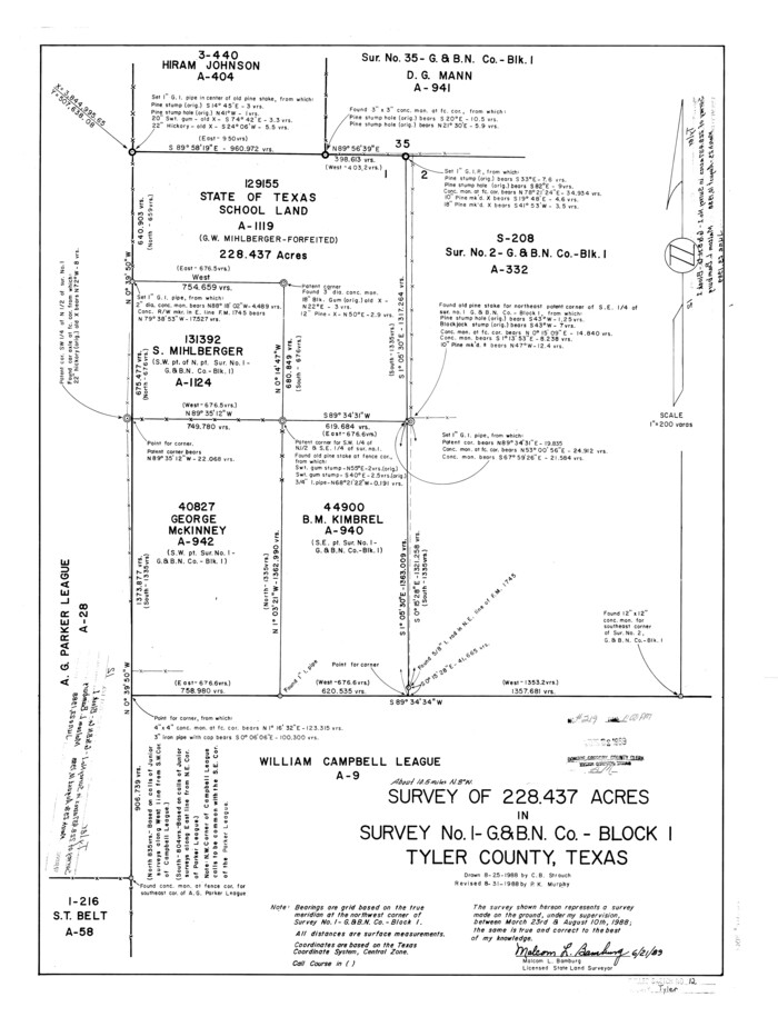
Tyler County Rolled Sketch 12

Print $20.00
- Digital $50.00
Tyler County Rolled Sketch 12
1988
Size 25.2 x 19.3 inches
Map/Doc 8060
Winkler County Working Sketch 4


Print $20.00
- Digital $50.00
Winkler County Working Sketch 4
1954
Size 36.7 x 30.1 inches
Map/Doc 72598
Reeves County Rolled Sketch 33


Print $20.00
- Digital $50.00
Reeves County Rolled Sketch 33
Size 24.9 x 36.8 inches
Map/Doc 7503
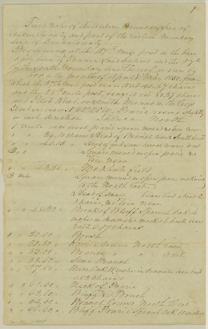
Collin County Boundary File 18f

Print $22.00
- Digital $50.00
Collin County Boundary File 18f
Size 12.9 x 8.2 inches
Map/Doc 51757
Hudspeth County Sketch File 2


Print $10.00
- Digital $50.00
Hudspeth County Sketch File 2
1900
Size 13.4 x 8.6 inches
Map/Doc 26884
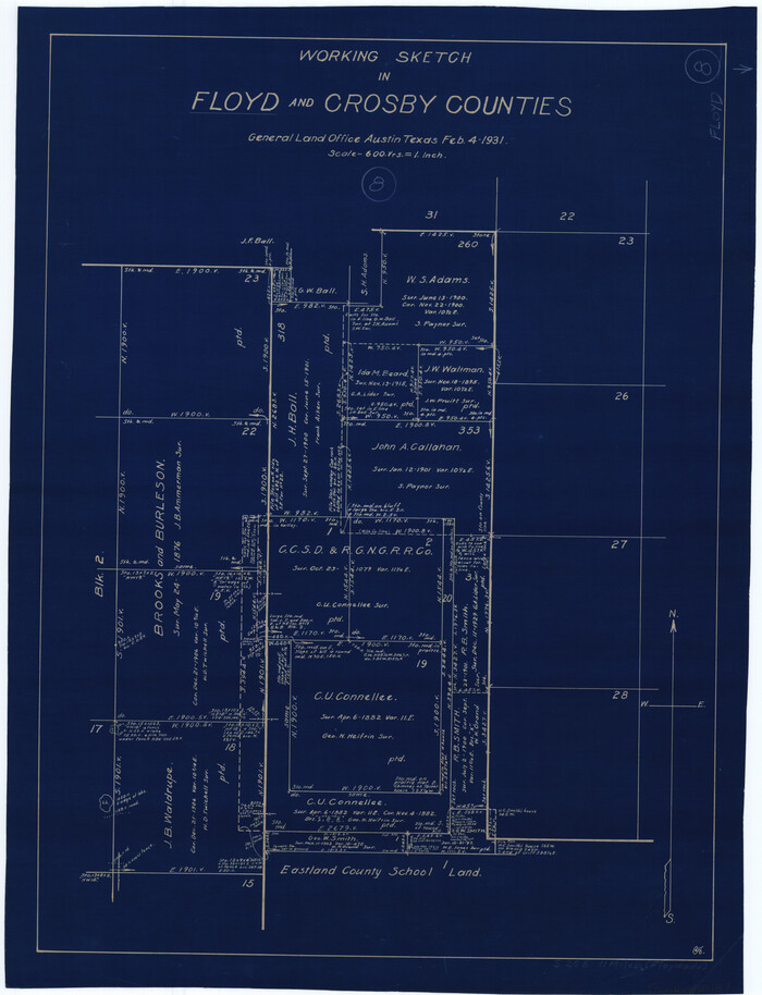
Floyd County Working Sketch 8

Print $20.00
- Digital $50.00
Floyd County Working Sketch 8
1931
Size 20.8 x 15.9 inches
Map/Doc 69187
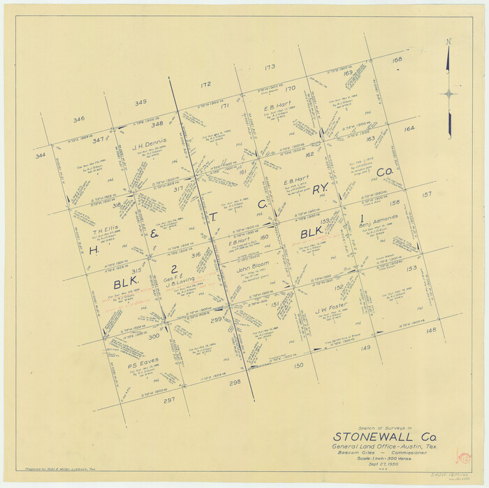
Stonewall County Working Sketch 12

Print $20.00
- Digital $50.00
Stonewall County Working Sketch 12
1950
Size 27.9 x 27.9 inches
Map/Doc 62319
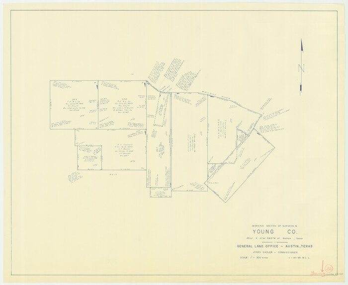
Young County Working Sketch 22

Print $20.00
- Digital $50.00
Young County Working Sketch 22
1965
Size 26.5 x 32.3 inches
Map/Doc 62045
[Travis Station Map - Tracks and Structures - Lands. San Antonio & Aransas Pass Railway Co.]
![62564, [Travis Station Map - Tracks and Structures - Lands. San Antonio & Aransas Pass Railway Co.], General Map Collection](https://historictexasmaps.com/wmedia_w700/maps/62564.tif.jpg)
![62564, [Travis Station Map - Tracks and Structures - Lands. San Antonio & Aransas Pass Railway Co.], General Map Collection](https://historictexasmaps.com/wmedia_w700/maps/62564.tif.jpg)
Print $4.00
- Digital $50.00
[Travis Station Map - Tracks and Structures - Lands. San Antonio & Aransas Pass Railway Co.]
1919
Size 11.7 x 18.7 inches
Map/Doc 62564
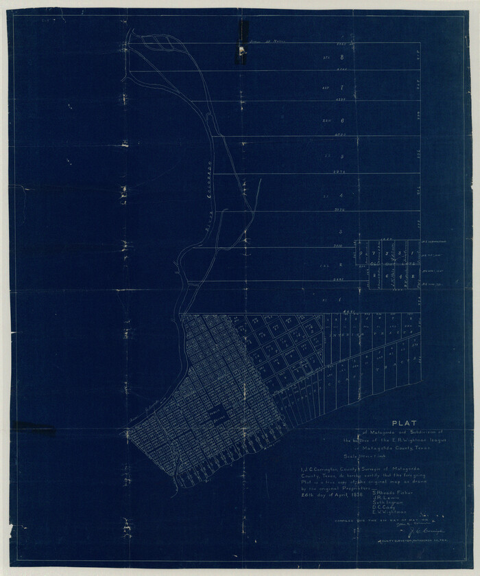
Matagorda County Sketch File 32

Print $20.00
- Digital $50.00
Matagorda County Sketch File 32
1918
Size 36.5 x 30.4 inches
Map/Doc 10531
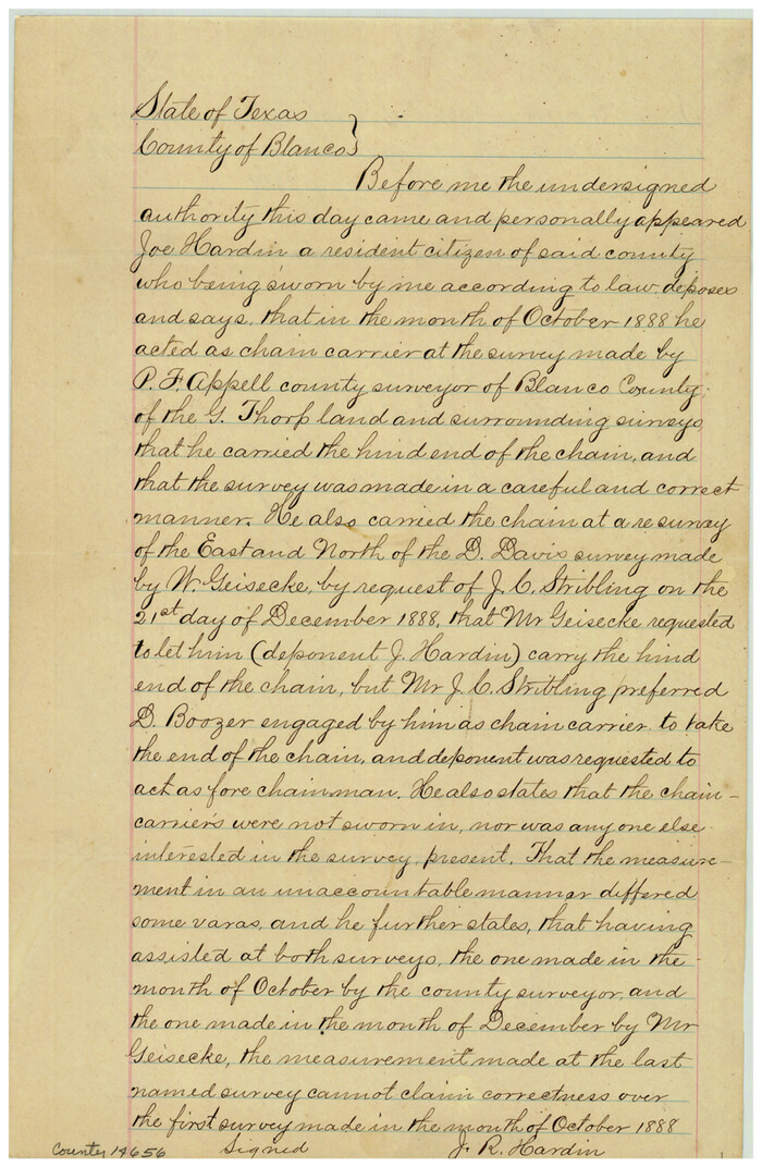
Blanco County Sketch File 42

Print $20.00
- Digital $50.00
Blanco County Sketch File 42
1889
Size 13.5 x 8.8 inches
Map/Doc 14656
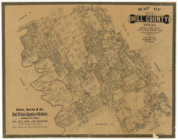
Map of Hill County Texas

Print $20.00
- Digital $50.00
Map of Hill County Texas
1886
Size 19.3 x 24.4 inches
Map/Doc 3673
You may also like
Parker County Sketch File 18


Print $4.00
- Digital $50.00
Parker County Sketch File 18
1876
Size 8.9 x 6.3 inches
Map/Doc 33554
Presidio County Sketch File 27 1/2
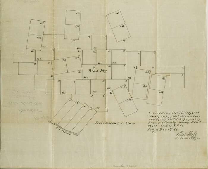

Print $6.00
- Digital $50.00
Presidio County Sketch File 27 1/2
1890
Size 11.0 x 13.5 inches
Map/Doc 34466
2016 Official Travel Map, Texas


2016 Official Travel Map, Texas
Size 33.3 x 36.2 inches
Map/Doc 94297
[Sketch of part of county with G.H. & S.A. Blk. 3 on North, H. & T.C. Blk. 4 on West, T. & P. Blk. 1 on South, T. & S. Blks. 224 & 301 on East]
![89958, [Sketch of part of county with G.H. & S.A. Blk. 3 on North, H. & T.C. Blk. 4 on West, T. & P. Blk. 1 on South, T. & S. Blks. 224 & 301 on East], Twichell Survey Records](https://historictexasmaps.com/wmedia_w700/maps/89958-1.tif.jpg)
![89958, [Sketch of part of county with G.H. & S.A. Blk. 3 on North, H. & T.C. Blk. 4 on West, T. & P. Blk. 1 on South, T. & S. Blks. 224 & 301 on East], Twichell Survey Records](https://historictexasmaps.com/wmedia_w700/maps/89958-1.tif.jpg)
Print $40.00
- Digital $50.00
[Sketch of part of county with G.H. & S.A. Blk. 3 on North, H. & T.C. Blk. 4 on West, T. & P. Blk. 1 on South, T. & S. Blks. 224 & 301 on East]
Size 51.9 x 37.9 inches
Map/Doc 89958
Crosby County Rolled Sketch D
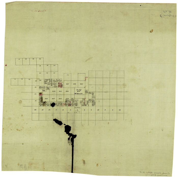

Print $20.00
- Digital $50.00
Crosby County Rolled Sketch D
Size 23.9 x 23.6 inches
Map/Doc 5643
Flight Mission No. BQR-3K, Frame 159, Brazoria County


Print $20.00
- Digital $50.00
Flight Mission No. BQR-3K, Frame 159, Brazoria County
1952
Size 18.6 x 22.3 inches
Map/Doc 83986
La Salle County Working Sketch 46
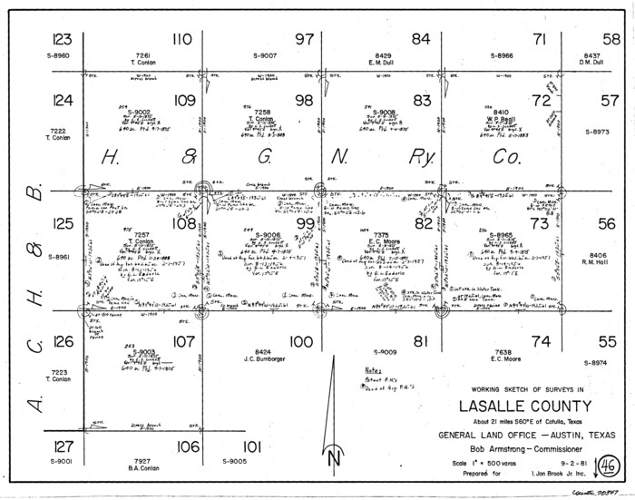

Print $20.00
- Digital $50.00
La Salle County Working Sketch 46
1981
Size 15.9 x 20.2 inches
Map/Doc 70347
Flight Mission No. BQY-15M, Frame 4, Harris County
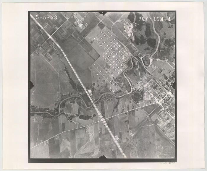

Print $20.00
- Digital $50.00
Flight Mission No. BQY-15M, Frame 4, Harris County
1953
Size 18.6 x 22.4 inches
Map/Doc 85302
Map of the Texas & Pacific Railway "Gould System" Lines and connections


Print $20.00
- Digital $50.00
Map of the Texas & Pacific Railway "Gould System" Lines and connections
1906
Size 17.7 x 36.6 inches
Map/Doc 95769
Nueces County Aerial Photograph Index Sheet 2
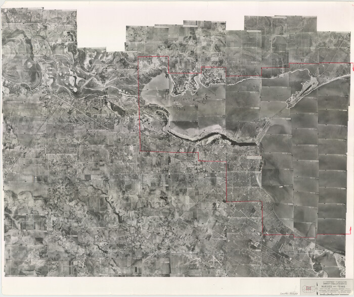

Print $20.00
- Digital $50.00
Nueces County Aerial Photograph Index Sheet 2
1956
Size 19.5 x 23.3 inches
Map/Doc 83737
McCulloch County Sketch File 1
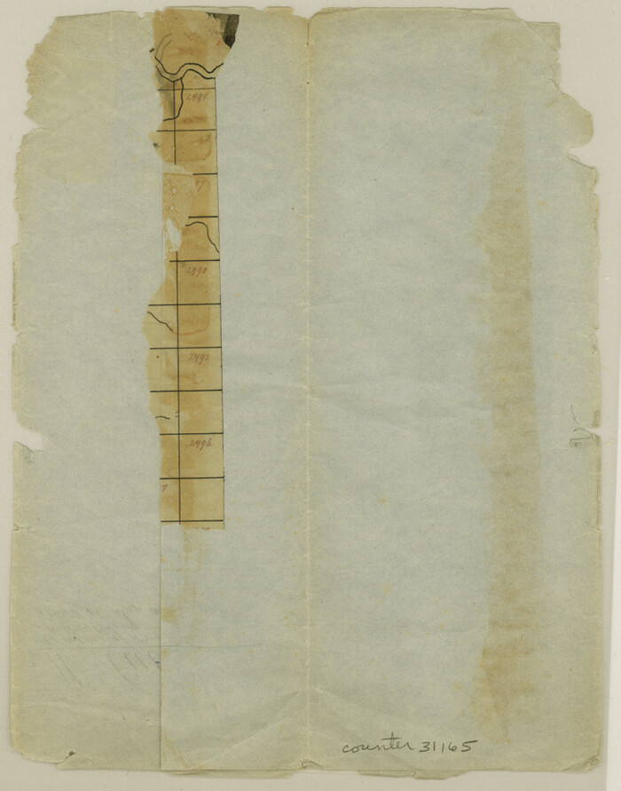

Print $4.00
- Digital $50.00
McCulloch County Sketch File 1
1854
Size 8.7 x 6.8 inches
Map/Doc 31165
Liberty County Sketch File 11
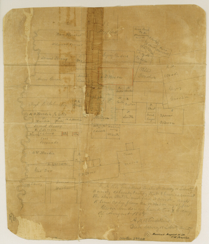

Print $6.00
- Digital $50.00
Liberty County Sketch File 11
1858
Size 11.8 x 10.0 inches
Map/Doc 29905
