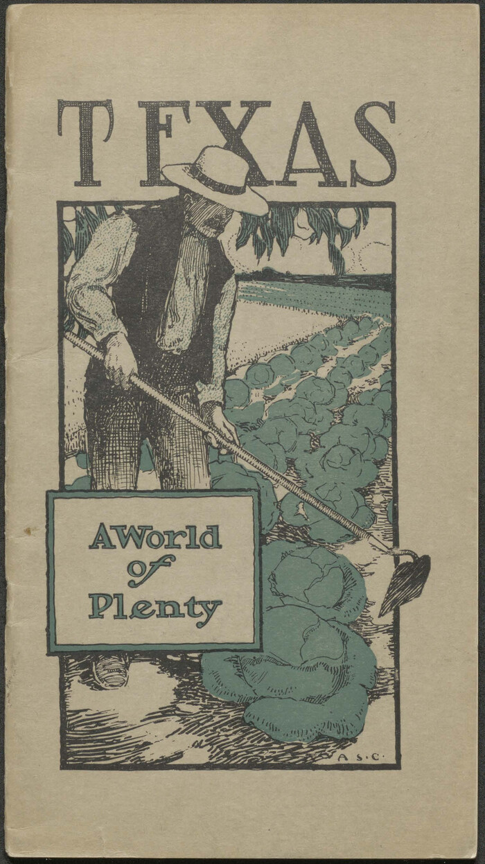
Texas Coast Country on the Southern Pacific Lines
-
Map/Doc
97061
-
Collection
Cobb Digital Map Collection
-
Object Dates
2/22/1917 (Creation Date)
-
People and Organizations
Southern Pacific Lines (Publisher)
-
Subjects
Coastal Railroads
-
Height x Width
9.4 x 6.4 inches
23.9 x 16.3 cm
-
Medium
booklet
-
Comments
Courtesy of John & Diana Cobb.
Part of: Cobb Digital Map Collection
Geographically Correct County Map showing the lines of the Cotton Belt Route and connections


Print $20.00
- Digital $50.00
Geographically Correct County Map showing the lines of the Cotton Belt Route and connections
1902
Size 35.9 x 30.7 inches
Map/Doc 95840
Correct Map of Texas


Print $20.00
- Digital $50.00
Correct Map of Texas
1904
Size 17.9 x 22.3 inches
Map/Doc 95768
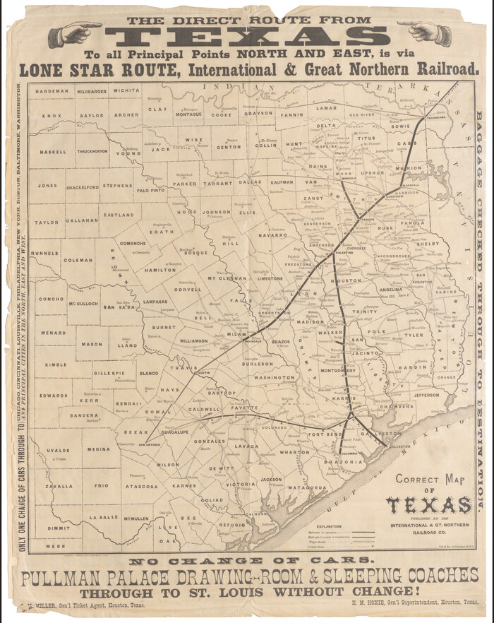
Correct Map of Texas

Print $20.00
- Digital $50.00
Correct Map of Texas
1873
Size 21.3 x 16.9 inches
Map/Doc 95776
Through Storyland to Sunset Seas
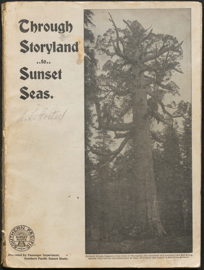

Through Storyland to Sunset Seas
1895
Size 8.9 x 6.7 inches
Map/Doc 96606
Profitable Products of East Texas, Orchards and Gardens


Profitable Products of East Texas, Orchards and Gardens
1910
Map/Doc 96775
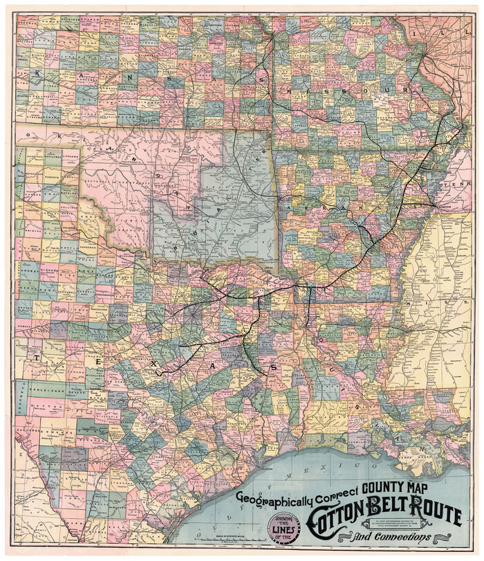
Geographically Correct County Map showing the lines of the Cotton Belt Route and connections

Print $20.00
- Digital $50.00
Geographically Correct County Map showing the lines of the Cotton Belt Route and connections
1898
Size 35.7 x 30.8 inches
Map/Doc 95839
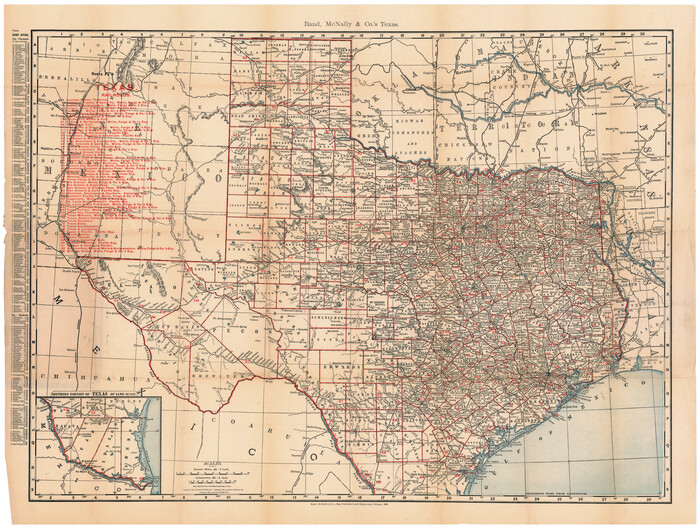
Rand, McNally & Co.'s Texas

Print $20.00
- Digital $50.00
Rand, McNally & Co.'s Texas
1901
Size 21.3 x 28.2 inches
Map/Doc 95844
Summer and Winter Health and Pleasure Resorts


Summer and Winter Health and Pleasure Resorts
1890
Size 7.7 x 5.6 inches
Map/Doc 97076
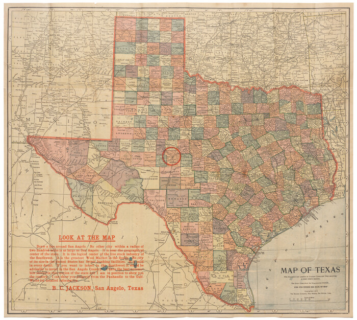
Map of Texas with population and location of principal towns and cities according to latest reliable statistics

Print $20.00
- Digital $50.00
Map of Texas with population and location of principal towns and cities according to latest reliable statistics
1912
Size 18.0 x 20.2 inches
Map/Doc 95876
The Rand McNally New Commercial Atlas Map of Texas


Print $20.00
- Digital $50.00
The Rand McNally New Commercial Atlas Map of Texas
1914
Size 28.6 x 40.2 inches
Map/Doc 95849
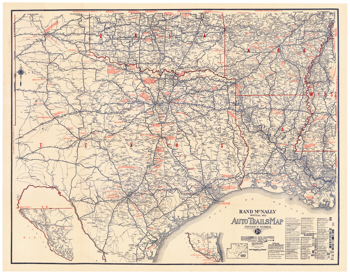
Rand, McNally Official 1922 Auto Trails Map, District Number 18

Print $20.00
- Digital $50.00
Rand, McNally Official 1922 Auto Trails Map, District Number 18
1922
Size 27.1 x 34.7 inches
Map/Doc 95887
You may also like
The Land Offices. No. 7, Milam, December 22, 1836


Print $20.00
The Land Offices. No. 7, Milam, December 22, 1836
2020
Size 23.9 x 21.7 inches
Map/Doc 96420
Layout of the porciones as described in the Visita General of Mier, 1767


Layout of the porciones as described in the Visita General of Mier, 1767
2009
Size 11.0 x 8.5 inches
Map/Doc 94043
A New Map of Texas, Oregon, and California with the regions adjoining compiled from the most recent authorities


Print $20.00
- Digital $50.00
A New Map of Texas, Oregon, and California with the regions adjoining compiled from the most recent authorities
1846
Size 23.0 x 21.2 inches
Map/Doc 95748
[Surveys in the Bexar District along the Leona River]
![135, [Surveys in the Bexar District along the Leona River], General Map Collection](https://historictexasmaps.com/wmedia_w700/maps/135.tif.jpg)
![135, [Surveys in the Bexar District along the Leona River], General Map Collection](https://historictexasmaps.com/wmedia_w700/maps/135.tif.jpg)
Print $20.00
- Digital $50.00
[Surveys in the Bexar District along the Leona River]
1841
Size 19.9 x 10.9 inches
Map/Doc 135
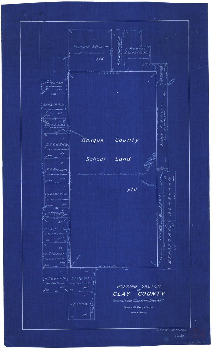
Clay County Working Sketch 2

Print $20.00
- Digital $50.00
Clay County Working Sketch 2
1907
Size 26.5 x 16.2 inches
Map/Doc 68025
General Highway Map, Midland County, Texas


Print $20.00
General Highway Map, Midland County, Texas
1940
Size 18.2 x 24.5 inches
Map/Doc 79197
[Lubbock County Sketch, Blocks O, A, B, and S]
![91376, [Lubbock County Sketch, Blocks O, A, B, and S], Twichell Survey Records](https://historictexasmaps.com/wmedia_w700/maps/91376-1.tif.jpg)
![91376, [Lubbock County Sketch, Blocks O, A, B, and S], Twichell Survey Records](https://historictexasmaps.com/wmedia_w700/maps/91376-1.tif.jpg)
Print $20.00
- Digital $50.00
[Lubbock County Sketch, Blocks O, A, B, and S]
Size 20.7 x 14.2 inches
Map/Doc 91376
Dimmit County Sketch File 35
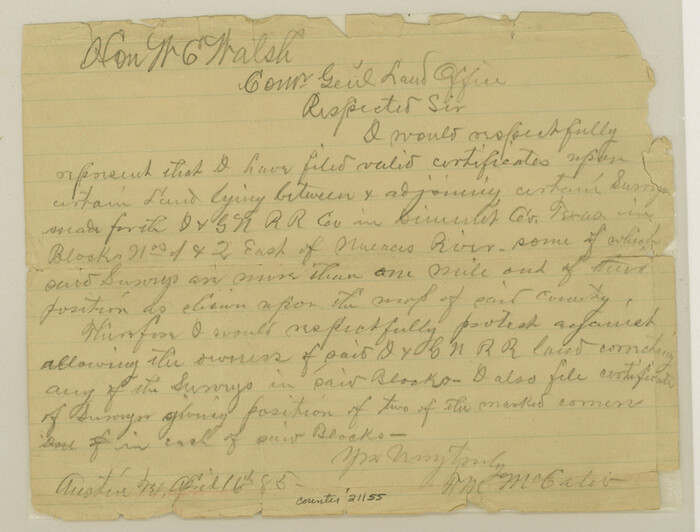

Print $6.00
- Digital $50.00
Dimmit County Sketch File 35
1885
Size 6.5 x 8.5 inches
Map/Doc 21155
Culberson County Working Sketch 23


Print $20.00
- Digital $50.00
Culberson County Working Sketch 23
1945
Size 38.3 x 44.7 inches
Map/Doc 68476
Flight Mission No. DQN-7K, Frame 9, Calhoun County
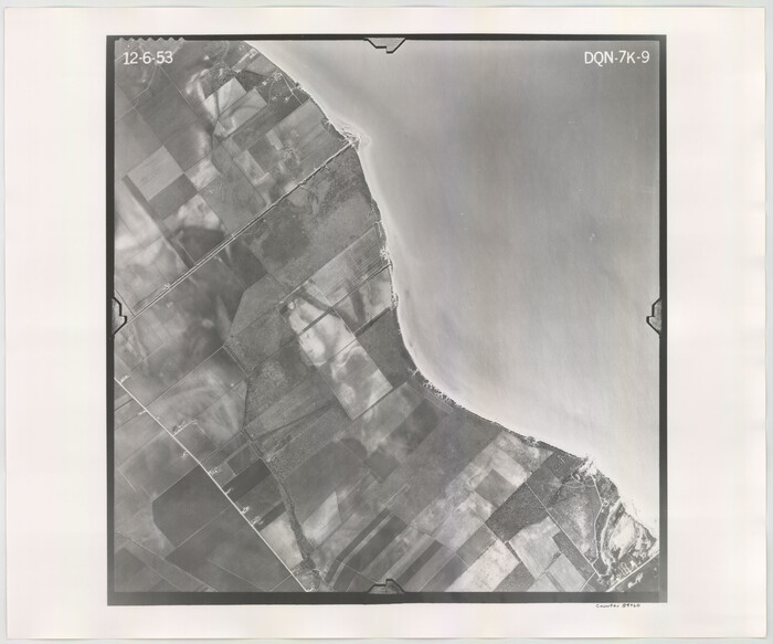

Print $20.00
- Digital $50.00
Flight Mission No. DQN-7K, Frame 9, Calhoun County
1953
Size 18.4 x 22.1 inches
Map/Doc 84460
English Field Notes of the Spanish Archives - Book S


English Field Notes of the Spanish Archives - Book S
1835
Map/Doc 96543
Montague County Working Sketch 27
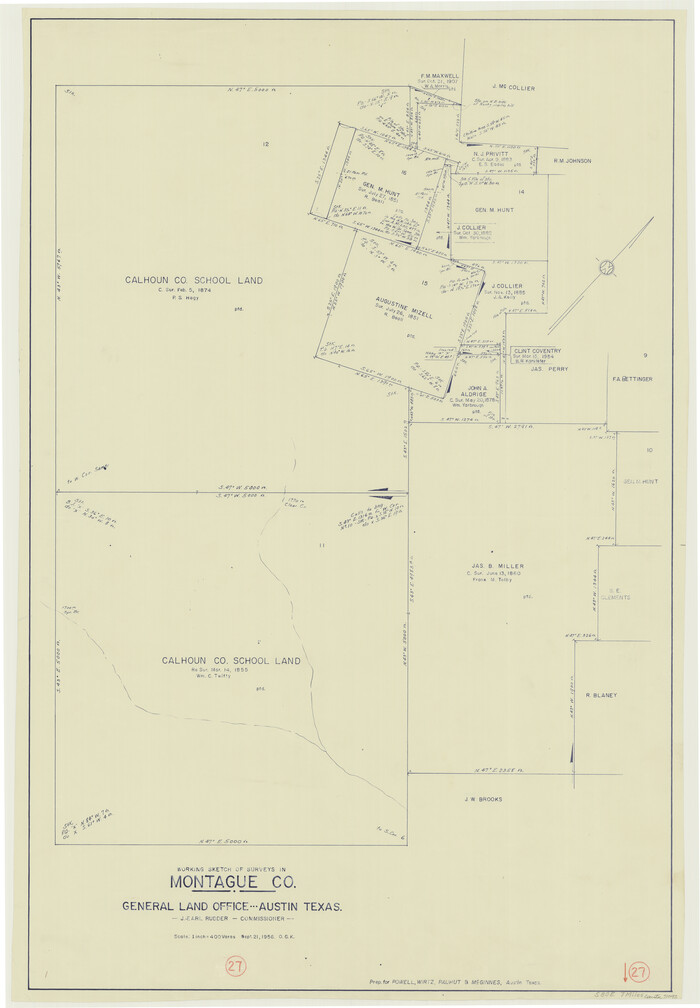

Print $20.00
- Digital $50.00
Montague County Working Sketch 27
1956
Size 35.8 x 24.9 inches
Map/Doc 71093

