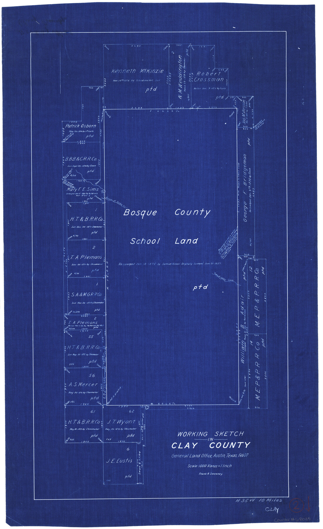
Clay County Working Sketch 2
-
Map/Doc
68025
-
Collection
General Map Collection
-
Object Dates
2/1907 (Creation Date)
-
People and Organizations
Frank R. Sweeney (Draftsman)
-
Counties
Clay
-
Subjects
Surveying Working Sketch
-
Height x Width
26.5 x 16.2 inches
67.3 x 41.2 cm
-
Scale
1" = 1000 varas
Part of: General Map Collection
Terrell County Working Sketch 25

Print $40.00
- Digital $50.00
Terrell County Working Sketch 25
1942
Size 41.9 x 49.1 inches
Map/Doc 62175
Mitchell County Sketch File 7

Print $20.00
- Digital $50.00
Mitchell County Sketch File 7
1906
Size 19.4 x 12.4 inches
Map/Doc 12096
Kent County Sketch File 11

Print $22.00
- Digital $50.00
Kent County Sketch File 11
1915
Size 7.9 x 8.6 inches
Map/Doc 28838
Panola County Sketch File 27

Print $8.00
- Digital $50.00
Panola County Sketch File 27
1850
Size 5.4 x 7.7 inches
Map/Doc 33498
Map of Kimble County

Print $40.00
- Digital $50.00
Map of Kimble County
1890
Size 36.1 x 54.4 inches
Map/Doc 78436
Map of Galveston East Bay and Bolivar Peninsular

Print $40.00
- Digital $50.00
Map of Galveston East Bay and Bolivar Peninsular
1851
Size 30.9 x 75.8 inches
Map/Doc 69919
Brown County Sketch File 28

Print $4.00
- Digital $50.00
Brown County Sketch File 28
1875
Size 11.6 x 8.3 inches
Map/Doc 16626
Map of San Jacinto County

Print $20.00
- Digital $50.00
Map of San Jacinto County
1879
Size 27.0 x 18.1 inches
Map/Doc 4624
Randall County Rolled Sketch 8

Print $20.00
- Digital $50.00
Randall County Rolled Sketch 8
1975
Size 33.7 x 43.7 inches
Map/Doc 10620
Brazoria County NRC Article 33.136 Sketch 10

Print $23.00
- Digital $50.00
Brazoria County NRC Article 33.136 Sketch 10
2007
Size 25.7 x 35.7 inches
Map/Doc 87933
Map of Winkler County

Print $20.00
- Digital $50.00
Map of Winkler County
1901
Size 43.1 x 36.6 inches
Map/Doc 4158
Tarrant County

Print $20.00
- Digital $50.00
Tarrant County
1857
Size 20.9 x 15.4 inches
Map/Doc 4628
You may also like
Map of Texas showing the Sabine and Galveston Bay Rail Road, or Texas and New Orleans Air Line Rail Line, its connections in the U.S. and adjacent territories.

Print $20.00
Map of Texas showing the Sabine and Galveston Bay Rail Road, or Texas and New Orleans Air Line Rail Line, its connections in the U.S. and adjacent territories.
1859
Size 28.7 x 41.3 inches
Map/Doc 93610
Pecos County Sketch File 71

Print $8.00
- Digital $50.00
Pecos County Sketch File 71
1936
Size 11.2 x 8.7 inches
Map/Doc 33872
Terry County Rolled Sketch 7

Print $20.00
- Digital $50.00
Terry County Rolled Sketch 7
1903
Size 19.6 x 19.9 inches
Map/Doc 7981
[Sketch N, showing Blocks C-10, C-14 through C-16]
![91772, [Sketch N, showing Blocks C-10, C-14 through C-16], Twichell Survey Records](https://historictexasmaps.com/wmedia_w700/maps/91772-1.tif.jpg)
Print $20.00
- Digital $50.00
[Sketch N, showing Blocks C-10, C-14 through C-16]
Size 38.6 x 22.1 inches
Map/Doc 91772
Flight Mission No. CUG-2P, Frame 21, Kleberg County

Print $20.00
- Digital $50.00
Flight Mission No. CUG-2P, Frame 21, Kleberg County
1956
Size 18.5 x 22.3 inches
Map/Doc 86185
Fisher County Rolled Sketch Y

Print $20.00
- Digital $50.00
Fisher County Rolled Sketch Y
Size 42.1 x 25.4 inches
Map/Doc 5878
Presidio County Sketch File 37

Print $16.00
- Digital $50.00
Presidio County Sketch File 37
Size 14.3 x 8.7 inches
Map/Doc 34491
Bailey County

Print $40.00
- Digital $50.00
Bailey County
1956
Size 49.4 x 31.4 inches
Map/Doc 95423
Map of Nacogdoches County

Print $20.00
- Digital $50.00
Map of Nacogdoches County
1881
Size 24.3 x 21.9 inches
Map/Doc 4606
Real County Working Sketch 10

Print $20.00
- Digital $50.00
Real County Working Sketch 10
1929
Size 23.0 x 15.4 inches
Map/Doc 71902
[North Central Part of County]
![90555, [North Central Part of County], Twichell Survey Records](https://historictexasmaps.com/wmedia_w700/maps/90555-1.tif.jpg)
Print $2.00
- Digital $50.00
[North Central Part of County]
Size 6.7 x 9.9 inches
Map/Doc 90555
General Highway Map, Williamson County, Texas

Print $20.00
General Highway Map, Williamson County, Texas
1961
Size 24.8 x 18.2 inches
Map/Doc 79713