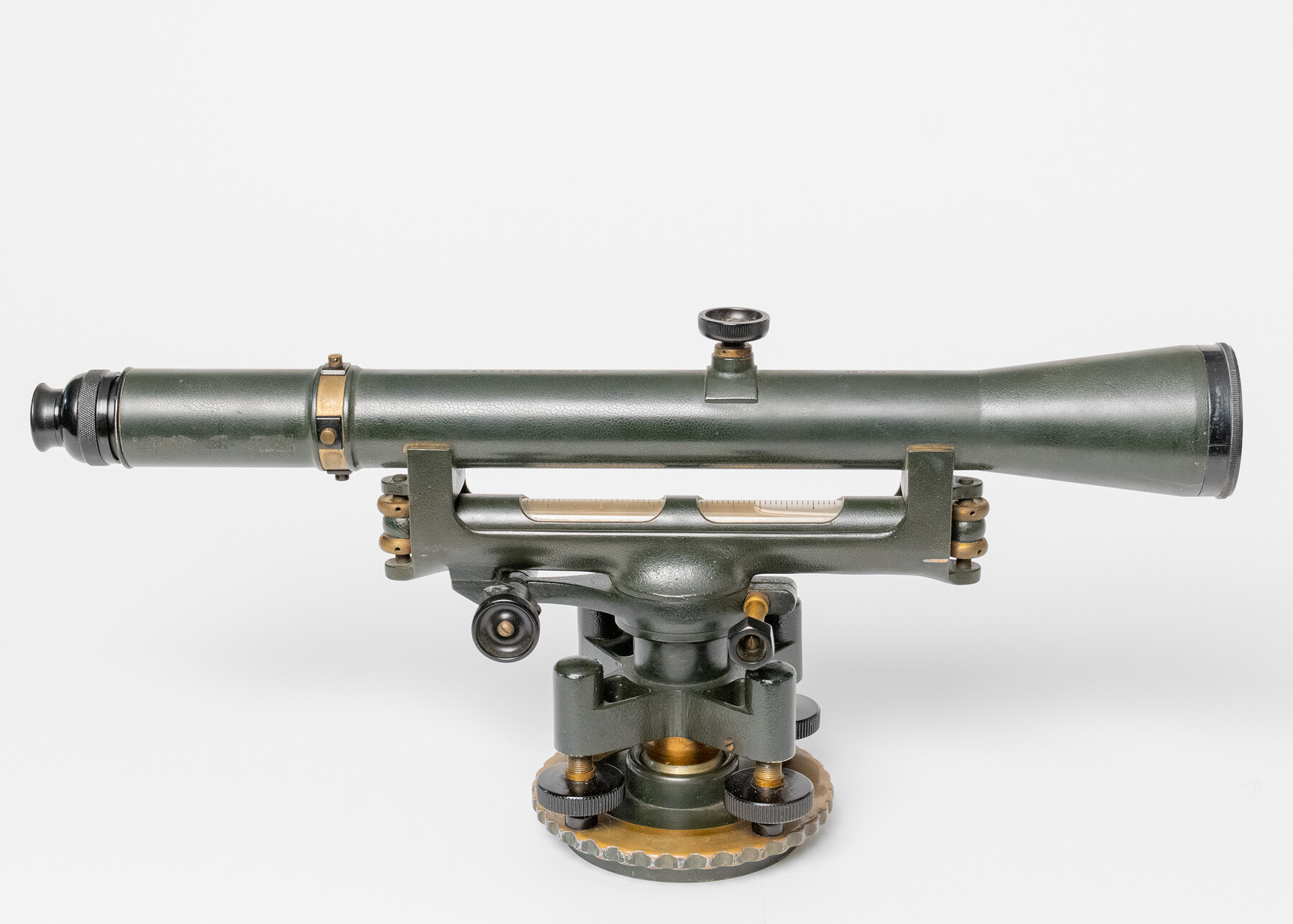
Gurley 18" Dumpy Level
Manufacturer: Gurley Engineering Instruments Serial Number: 361064 State Inventory Tag: 305-904 Case: Wooden Box Manufacture Location: Troy, NY
-
Map/Doc
97299
-
Collection
General Map Collection
-
Object Dates
1936 (Creation Date)
-
Height x Width
9.8 x 19.5 inches
24.8 x 49.5 cm
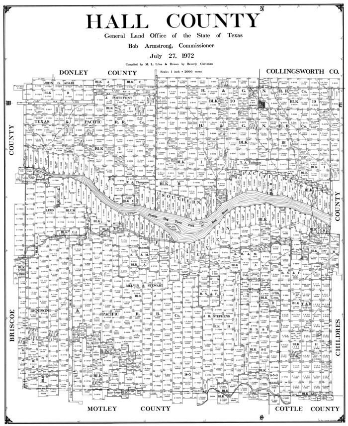
Part of: General Map Collection
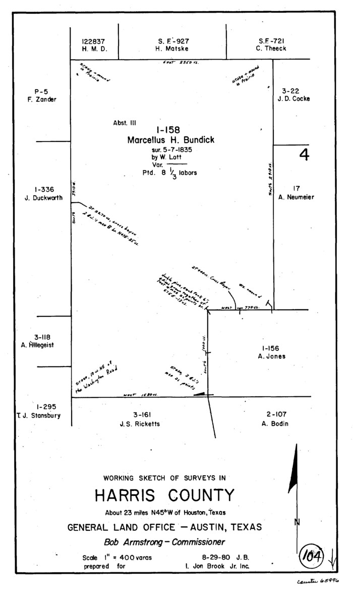
Harris County Working Sketch 104

Print $3.00
- Digital $50.00
Harris County Working Sketch 104
1980
Size 17.2 x 10.3 inches
Map/Doc 65996
[Geological Map of the Great East Texas Oil Fields]
![94272, [Geological Map of the Great East Texas Oil Fields], General Map Collection](https://historictexasmaps.com/wmedia_w700/maps/94272.tif.jpg)
![94272, [Geological Map of the Great East Texas Oil Fields], General Map Collection](https://historictexasmaps.com/wmedia_w700/maps/94272.tif.jpg)
Print $20.00
- Digital $50.00
[Geological Map of the Great East Texas Oil Fields]
Size 22.4 x 11.7 inches
Map/Doc 94272
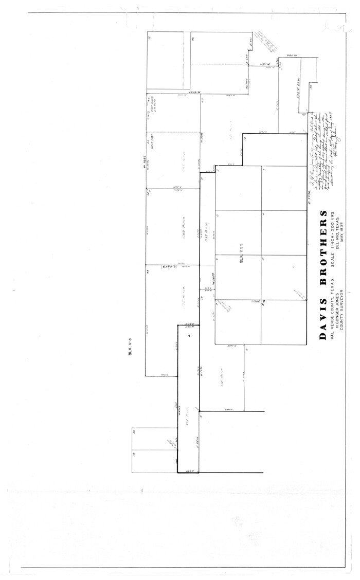
Val Verde County Rolled Sketch 51

Print $40.00
- Digital $50.00
Val Verde County Rolled Sketch 51
1937
Size 49.0 x 30.4 inches
Map/Doc 10075
Flight Mission No. CRC-4R, Frame 73, Chambers County


Print $20.00
- Digital $50.00
Flight Mission No. CRC-4R, Frame 73, Chambers County
1956
Size 18.7 x 22.5 inches
Map/Doc 84877
Parker County Sketch File 30
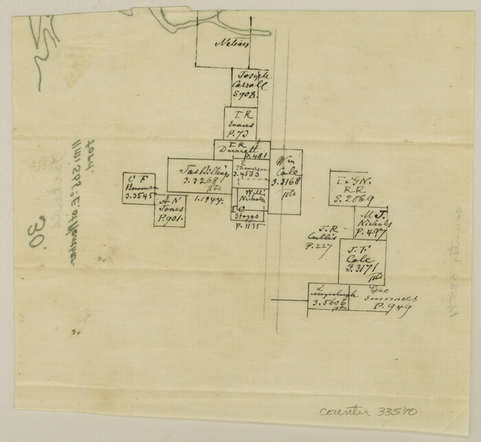

Print $4.00
- Digital $50.00
Parker County Sketch File 30
Size 6.4 x 7.0 inches
Map/Doc 33570
Bowie County Working Sketch 8
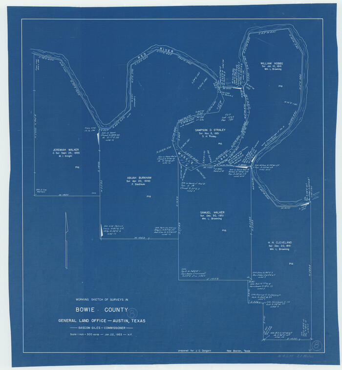

Print $20.00
- Digital $50.00
Bowie County Working Sketch 8
1953
Size 25.9 x 24.0 inches
Map/Doc 67412
Greater Fort Worth City
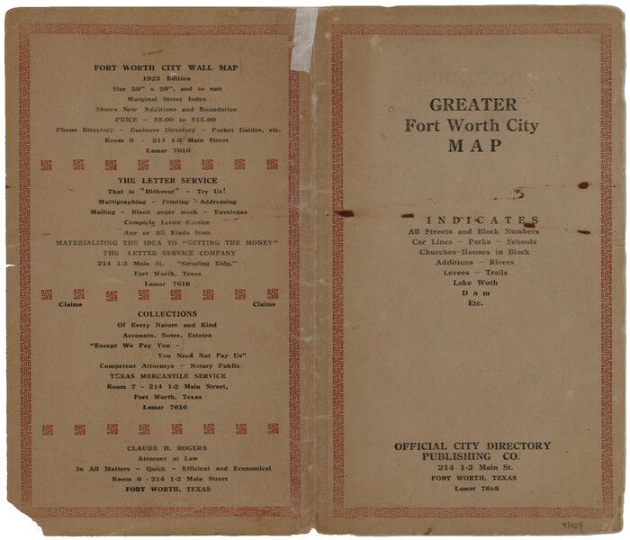

Print $20.00
- Digital $50.00
Greater Fort Worth City
1919
Size 10.0 x 8.8 inches
Map/Doc 93424
Val Verde County Sketch File AA3


Print $20.00
- Digital $50.00
Val Verde County Sketch File AA3
1924
Size 19.5 x 20.6 inches
Map/Doc 12540
Reagan County Working Sketch 24
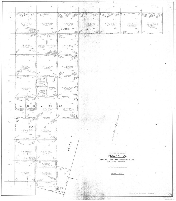

Print $20.00
- Digital $50.00
Reagan County Working Sketch 24
Size 45.4 x 39.9 inches
Map/Doc 71866
Hardin County Rolled Sketch 21
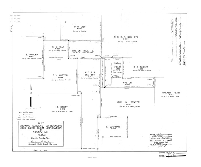

Print $20.00
- Digital $50.00
Hardin County Rolled Sketch 21
1966
Size 18.8 x 22.7 inches
Map/Doc 6090
Culberson County Rolled Sketch 45
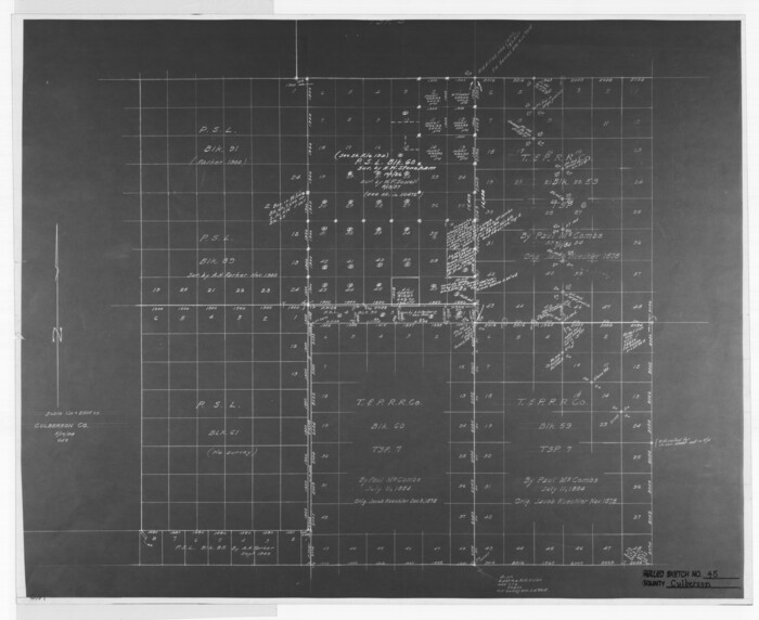

Print $20.00
- Digital $50.00
Culberson County Rolled Sketch 45
1954
Size 19.1 x 23.4 inches
Map/Doc 5667
You may also like
Crosby Co. Sketch
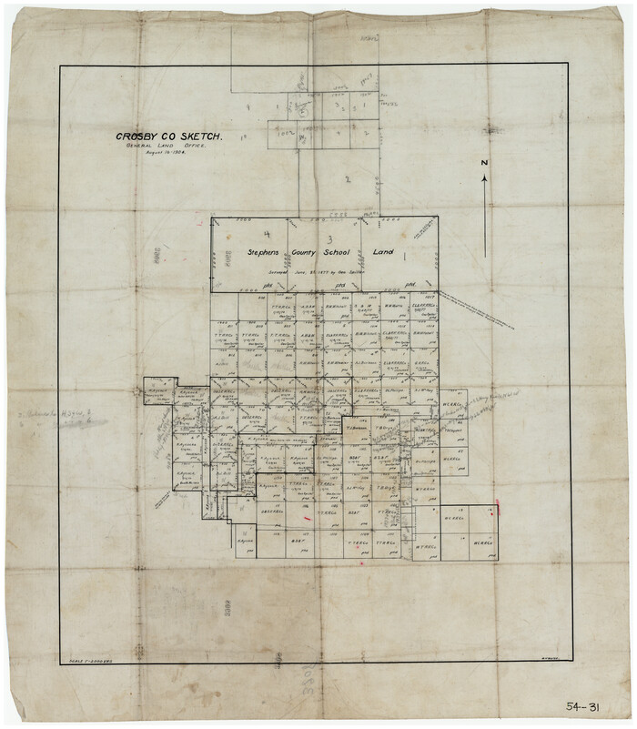

Print $20.00
- Digital $50.00
Crosby Co. Sketch
1904
Size 21.2 x 24.4 inches
Map/Doc 90349
Crane County Working Sketch 16
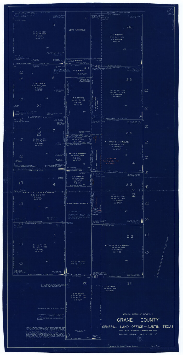

Print $20.00
- Digital $50.00
Crane County Working Sketch 16
1955
Size 42.8 x 22.0 inches
Map/Doc 68293
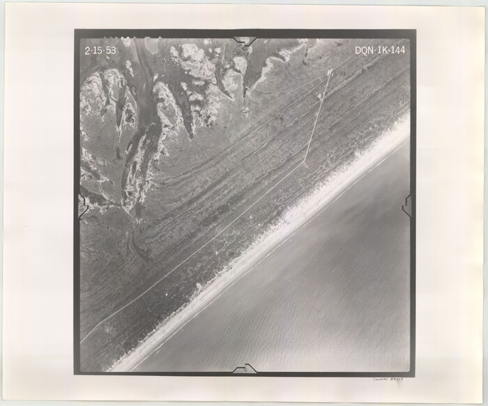
Flight Mission No. DQN-1K, Frame 144, Calhoun County

Print $20.00
- Digital $50.00
Flight Mission No. DQN-1K, Frame 144, Calhoun County
1953
Size 18.5 x 22.2 inches
Map/Doc 84207
Aransas County Boundary File 6


Print $156.00
- Digital $50.00
Aransas County Boundary File 6
Size 14.1 x 8.5 inches
Map/Doc 49806
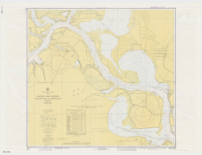
Houston Ship Channel, Alexander Island to Carpenter Bayou

Print $20.00
- Digital $50.00
Houston Ship Channel, Alexander Island to Carpenter Bayou
1973
Size 35.6 x 46.3 inches
Map/Doc 69909
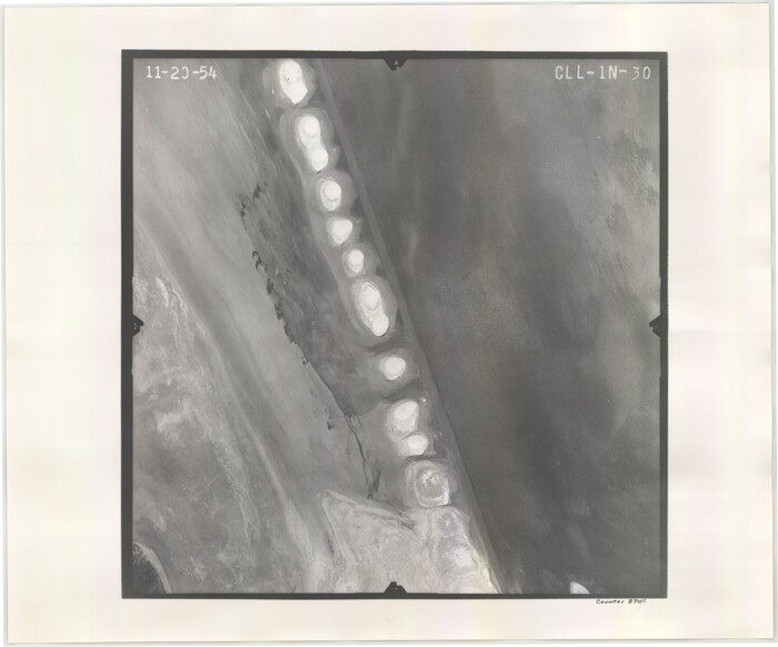
Flight Mission No. CLL-1N, Frame 30, Willacy County

Print $20.00
- Digital $50.00
Flight Mission No. CLL-1N, Frame 30, Willacy County
1954
Size 18.4 x 22.2 inches
Map/Doc 87011
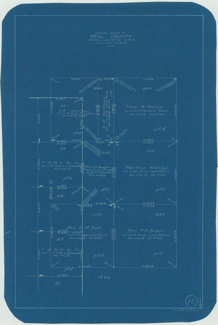
Real County Working Sketch 10

Print $20.00
- Digital $50.00
Real County Working Sketch 10
Size 23.0 x 15.4 inches
Map/Doc 71902
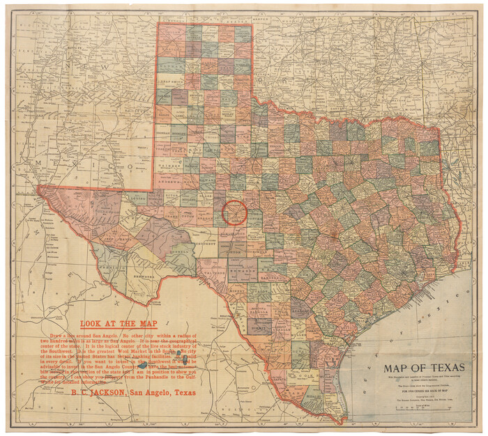
Map of Texas with population and location of principal towns and cities according to latest reliable statistics

Print $20.00
- Digital $50.00
Map of Texas with population and location of principal towns and cities according to latest reliable statistics
1912
Size 18.0 x 20.2 inches
Map/Doc 95876
Bandera County Sketch File 35


Print $2.00
- Digital $50.00
Bandera County Sketch File 35
Size 11.2 x 8.7 inches
Map/Doc 14033
Sabine County Sketch File 5


Print $8.00
Sabine County Sketch File 5
1876
Size 12.9 x 8.5 inches
Map/Doc 35608
[Maps of surveys in Reeves & Culberson Cos]
![61130, [Maps of surveys in Reeves & Culberson Cos], General Map Collection](https://historictexasmaps.com/wmedia_w700/maps/61130.tif.jpg)
![61130, [Maps of surveys in Reeves & Culberson Cos], General Map Collection](https://historictexasmaps.com/wmedia_w700/maps/61130.tif.jpg)
Print $20.00
- Digital $50.00
[Maps of surveys in Reeves & Culberson Cos]
1937
Size 30.7 x 24.9 inches
Map/Doc 61130
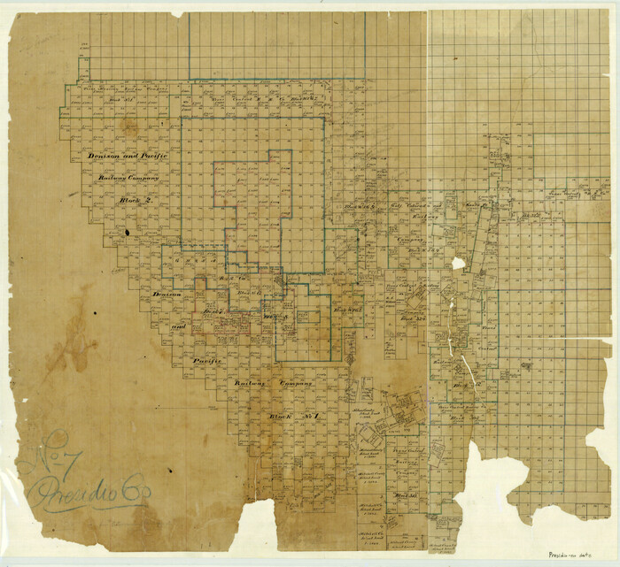
No. 7 Presidio County

Print $20.00
- Digital $50.00
No. 7 Presidio County
Size 23.9 x 26.2 inches
Map/Doc 3969
