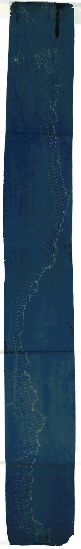
Presidio County Rolled Sketch 24
[Sketch of T. & P. Ry. Co. Blocks on Rio Grande]
-
Map/Doc
9765
-
Collection
General Map Collection
-
Object Dates
1886/2/18 (Creation Date)
-
People and Organizations
E. von Rosenberg (Draftsman)
-
Counties
Presidio
-
Subjects
Surveying Rolled Sketch
-
Height x Width
158.3 x 23.4 inches
402.1 x 59.4 cm
-
Medium
blueprint/diazo
Part of: General Map Collection
Supreme Court of the United States, October Term, 1923, No. 15, Original - The State of Oklahoma, Complainant vs. The State of Texas, Defendant, The United States, Intervener; Report of the Boundary Commissioners

Print $20.00
- Digital $50.00
Supreme Court of the United States, October Term, 1923, No. 15, Original - The State of Oklahoma, Complainant vs. The State of Texas, Defendant, The United States, Intervener; Report of the Boundary Commissioners
1923
Size 33.9 x 36.8 inches
Map/Doc 75134
[Surveys on the Trinity River]
![342, [Surveys on the Trinity River], General Map Collection](https://historictexasmaps.com/wmedia_w700/maps/342.tif.jpg)
Print $2.00
- Digital $50.00
[Surveys on the Trinity River]
Size 6.6 x 4.6 inches
Map/Doc 342
Dawson County Working Sketch 7

Print $20.00
- Digital $50.00
Dawson County Working Sketch 7
1942
Size 15.3 x 26.1 inches
Map/Doc 68551
Kimble County Boundary File 3

Print $44.00
- Digital $50.00
Kimble County Boundary File 3
Size 9.8 x 32.4 inches
Map/Doc 64846
Kinney County Sketch File 30

Print $10.00
- Digital $50.00
Kinney County Sketch File 30
1933
Size 11.3 x 8.7 inches
Map/Doc 29171
Kimble County Working Sketch 5

Print $20.00
- Digital $50.00
Kimble County Working Sketch 5
1915
Size 17.0 x 13.4 inches
Map/Doc 70073
Edwards County Sketch File 17

Print $20.00
- Digital $50.00
Edwards County Sketch File 17
Size 31.8 x 18.3 inches
Map/Doc 11429
Hardin County Sketch File 2

Print $7.00
- Digital $50.00
Hardin County Sketch File 2
Size 12.7 x 8.4 inches
Map/Doc 25083
Wilbarger County Sketch File 21

Print $4.00
- Digital $50.00
Wilbarger County Sketch File 21
1889
Size 11.1 x 8.6 inches
Map/Doc 40219
Current Miscellaneous File 29

Print $10.00
- Digital $50.00
Current Miscellaneous File 29
Size 11.2 x 8.8 inches
Map/Doc 73920
McMullen County Rolled Sketch 18

Print $20.00
- Digital $50.00
McMullen County Rolled Sketch 18
Size 18.8 x 27.5 inches
Map/Doc 6734
Pecos County Rolled Sketch 119

Print $20.00
- Digital $50.00
Pecos County Rolled Sketch 119
1945
Size 20.5 x 21.5 inches
Map/Doc 7261
You may also like
The Texas and Pacific Ry. Co., Station Map, Loraine, Texas

Print $20.00
- Digital $50.00
The Texas and Pacific Ry. Co., Station Map, Loraine, Texas
Size 11.6 x 18.6 inches
Map/Doc 64683
King County Sketch File 4

Print $22.00
- Digital $50.00
King County Sketch File 4
Size 8.8 x 14.2 inches
Map/Doc 29022
Houston County Working Sketch 9

Print $20.00
- Digital $50.00
Houston County Working Sketch 9
1939
Size 28.9 x 31.3 inches
Map/Doc 66239
Carte du Mexique ou de la Nouvelle Espagne

Print $20.00
Carte du Mexique ou de la Nouvelle Espagne
1750
Size 12.4 x 15.5 inches
Map/Doc 79741
Aransas County Boundary File 1

Print $14.00
- Digital $50.00
Aransas County Boundary File 1
Size 14.2 x 8.6 inches
Map/Doc 49774
Working Sketch in Travis County

Print $20.00
- Digital $50.00
Working Sketch in Travis County
1923
Size 15.4 x 18.6 inches
Map/Doc 91866
[Parts of PSL Blocks B18, B19, B28, B20 and B29]
![91952, [Parts of PSL Blocks B18, B19, B28, B20 and B29], Twichell Survey Records](https://historictexasmaps.com/wmedia_w700/maps/91952-1.tif.jpg)
Print $20.00
- Digital $50.00
[Parts of PSL Blocks B18, B19, B28, B20 and B29]
Size 21.4 x 28.0 inches
Map/Doc 91952
Kaufman County Boundary File 6a

Print $6.00
- Digital $50.00
Kaufman County Boundary File 6a
Size 14.0 x 8.5 inches
Map/Doc 55963
Culberson County Working Sketch 35

Print $20.00
- Digital $50.00
Culberson County Working Sketch 35
1963
Size 23.6 x 24.0 inches
Map/Doc 68488
Frio County Working Sketch 7

Print $20.00
- Digital $50.00
Frio County Working Sketch 7
1942
Size 26.5 x 43.3 inches
Map/Doc 69281
Wichita County Sketch File 31

Print $20.00
- Digital $50.00
Wichita County Sketch File 31
1938
Size 27.6 x 39.4 inches
Map/Doc 10433
Montague County Working Sketch 21

Print $20.00
- Digital $50.00
Montague County Working Sketch 21
1952
Size 33.1 x 39.5 inches
Map/Doc 71087