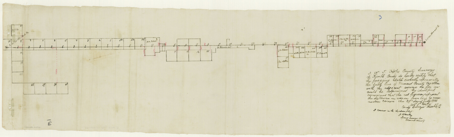
Kimble County Boundary File 3
-
Map/Doc
64846
-
Collection
General Map Collection
-
Counties
Kimble
-
Subjects
County Boundaries
-
Height x Width
9.8 x 32.4 inches
24.9 x 82.3 cm
Part of: General Map Collection

Frio County Working Sketch 13

Print $20.00
- Digital $50.00
Frio County Working Sketch 13
1954
Size 23.3 x 35.5 inches
Map/Doc 69287
Map of Lamar County

Print $20.00
- Digital $50.00
Map of Lamar County
1849
Size 25.7 x 26.8 inches
Map/Doc 1236
North America

Print $20.00
- Digital $50.00
North America
1843
Size 16.7 x 13.7 inches
Map/Doc 95366
Harris County Working Sketch 20

Print $20.00
- Digital $50.00
Harris County Working Sketch 20
1923
Size 11.7 x 12.4 inches
Map/Doc 65912
Crosby County Sketch File 34

Print $4.00
- Digital $50.00
Crosby County Sketch File 34
1892
Size 11.3 x 8.9 inches
Map/Doc 20104
Rusk County Working Sketch 15

Print $20.00
- Digital $50.00
Rusk County Working Sketch 15
1972
Size 29.6 x 43.8 inches
Map/Doc 63650
Flight Mission No. CRE-2R, Frame 160, Jackson County

Print $20.00
- Digital $50.00
Flight Mission No. CRE-2R, Frame 160, Jackson County
1956
Size 18.5 x 22.3 inches
Map/Doc 85371
Van Zandt County

Print $20.00
- Digital $50.00
Van Zandt County
1896
Size 26.1 x 22.4 inches
Map/Doc 4114
Duval County Working Sketch 27

Print $20.00
- Digital $50.00
Duval County Working Sketch 27
1947
Size 20.7 x 16.8 inches
Map/Doc 68751
Cherokee County Working Sketch 15

Print $20.00
- Digital $50.00
Cherokee County Working Sketch 15
1957
Size 22.5 x 26.1 inches
Map/Doc 67970
Liberty County Working Sketch 46

Print $20.00
- Digital $50.00
Liberty County Working Sketch 46
1953
Size 18.6 x 37.6 inches
Map/Doc 70505
You may also like
Grayson County Sketch File 12

Print $4.00
- Digital $50.00
Grayson County Sketch File 12
1853
Size 12.8 x 8.4 inches
Map/Doc 24478
United States Population Distribution by County and Territory, per the U.S. Census of 1880

United States Population Distribution by County and Territory, per the U.S. Census of 1880
2024
Size 8.5 x 11.0 inches
Map/Doc 97284
Flight Mission No. DAH-9M, Frame 155, Orange County

Print $20.00
- Digital $50.00
Flight Mission No. DAH-9M, Frame 155, Orange County
1953
Size 18.6 x 22.6 inches
Map/Doc 86854
Map of Comal County

Print $20.00
- Digital $50.00
Map of Comal County
1874
Size 18.4 x 22.3 inches
Map/Doc 3428
Throckmorton County Sketch File 3

Print $6.00
- Digital $50.00
Throckmorton County Sketch File 3
Size 10.4 x 10.2 inches
Map/Doc 38052
San Saba County

Print $20.00
- Digital $50.00
San Saba County
1877
Size 20.2 x 22.0 inches
Map/Doc 4020
Texas Panhandle East Boundary Line

Print $40.00
- Digital $50.00
Texas Panhandle East Boundary Line
1898
Size 9.2 x 64.9 inches
Map/Doc 1716
Port Houston, the Commercial Center of the South and West

Port Houston, the Commercial Center of the South and West
1900
Size 4.9 x 6.5 inches
Map/Doc 97068
Flight Mission No. BRA-16M, Frame 66, Jefferson County

Print $20.00
- Digital $50.00
Flight Mission No. BRA-16M, Frame 66, Jefferson County
1953
Size 18.6 x 22.3 inches
Map/Doc 85683
[Surveys in Guadalupe and Wilson Counties]
![59, [Surveys in Guadalupe and Wilson Counties], General Map Collection](https://historictexasmaps.com/wmedia_w700/maps/59.tif.jpg)
Print $2.00
- Digital $50.00
[Surveys in Guadalupe and Wilson Counties]
Size 6.0 x 12.2 inches
Map/Doc 59
Martin County Sketch File 6

Print $4.00
- Digital $50.00
Martin County Sketch File 6
1914
Size 7.3 x 8.9 inches
Map/Doc 30642
Nueces County Rolled Sketch 63

Print $20.00
- Digital $50.00
Nueces County Rolled Sketch 63
1979
Size 25.5 x 38.1 inches
Map/Doc 6909