
Natural Heritage of Texas
1986
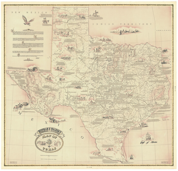
Hoffman & Walker's Pictorial, Historical Map of Texas
1960
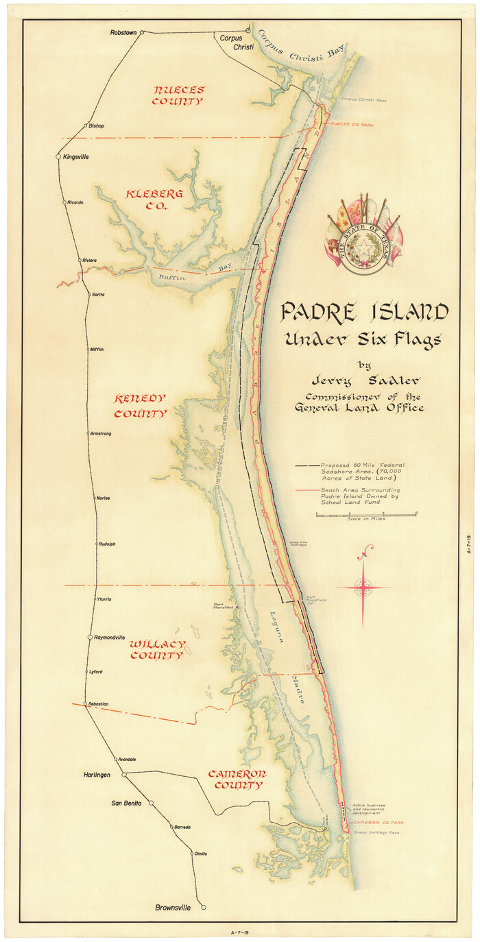
Padre Island Under Six Flags
1962

Padre Island Under Six Flags
1962

Partial View of Austin, Texas
1895
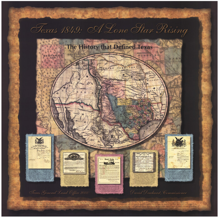
Texas 1849: A Lone Star Rising
2000
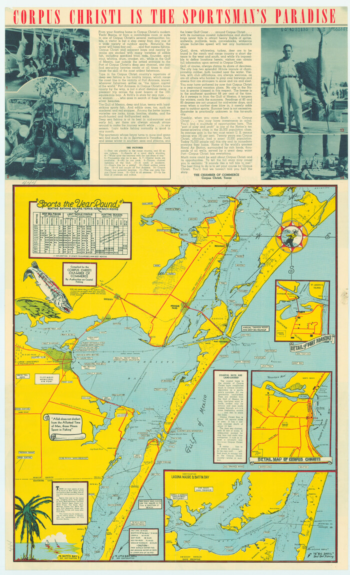
Corpus Christi is the Sportsman's Paradise
1942
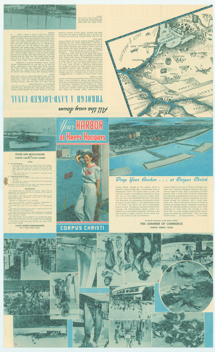
Corpus Christi is the Sportsman's Paradise
1942

Greenville, Hunt County, Texas
1891

Texas Land Commissioner Jerry Patterson's Great Military Map of Texas showing Significant Conflicts and Events between 1685 and 1916
2006

170th Anniversary Land Commissioners of the Texas General Land Office
2006

Revolutionary Map of Texas, 1836
1986

Commemorative Map of the Republic of Texas, 1845
1986
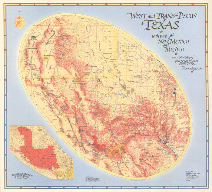
West and Trans-Pecos Texas with parts of New Mexico and Mexico and a New Map of Big Bend Ranch State Park and Surrounding Area
1988
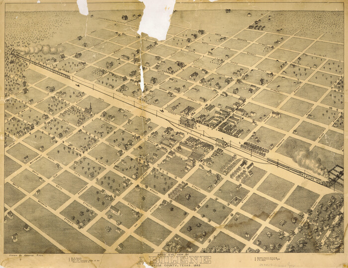
Bird's Eye View of Abilene, Taylor County, Texas
1883
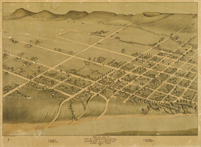
Bird's Eye View of Bastrop, Bastrop County, Texas
1887

Bird's Eye View of the City of Belton, Bell County, Texas
1881
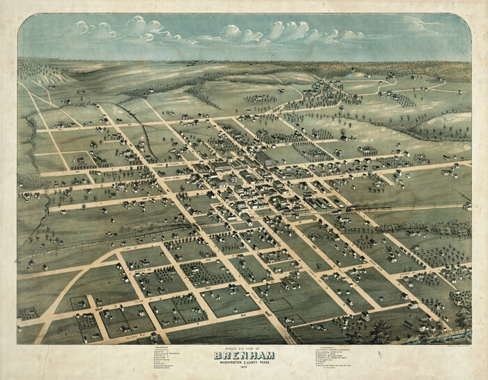
Bird's Eye View of Brenham, Washington County, Texas
1873

Bird's Eye View of the City of Brenham, Washington County, Texas
1881

Clarendon, Texas, Donley Co.
1890
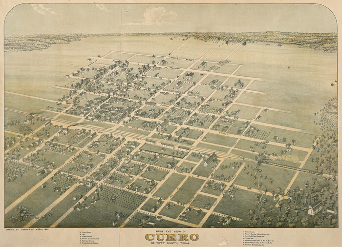
Bird's Eye View of Cuero, De Witt County, Texas
1881

Bird's Eye View of the City of Dallas, Texas
1872
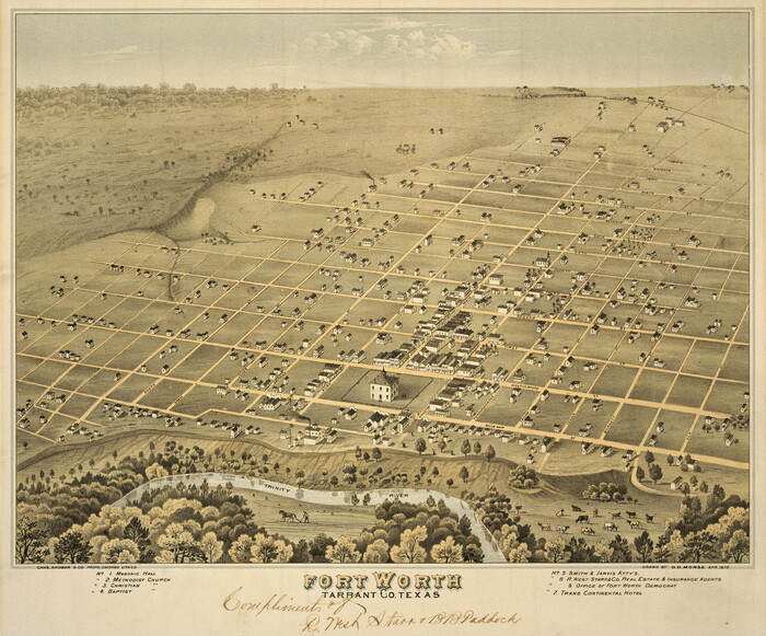
Fort Worth, Tarrant Co[unty], Texas
1876

Fort Worth, Tex. "The Queen of the Prairies," County Seat of Tarrant County
1886

Perspective Map of Fort Worth, Tex.
1891
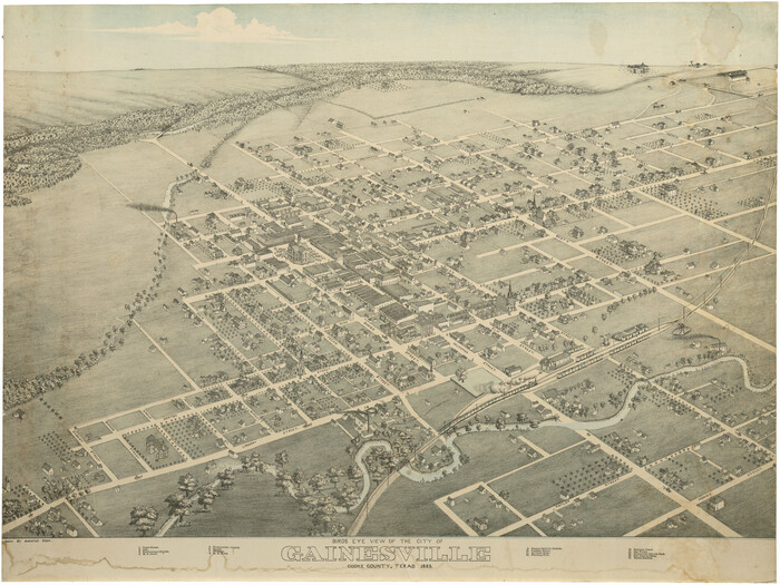
Bird's Eye View of the City of Gainesville Cooke County, Texas
1883

Bird's Eye View of the City of Galveston Texas
1871

Natural Heritage of Texas
1986
-
Size
54.3 x 56.0 inches
-
Map/Doc
10786
-
Creation Date
1986

Hoffman & Walker's Pictorial, Historical Map of Texas
1960
-
Size
44.0 x 45.5 inches
-
Map/Doc
2122
-
Creation Date
1960

Padre Island Under Six Flags
1962
-
Size
59.3 x 30.3 inches
-
Map/Doc
3123
-
Creation Date
1962

Padre Island Under Six Flags
1962
-
Size
63.7 x 36.9 inches
-
Map/Doc
3126
-
Creation Date
1962

Partial View of Austin, Texas
1895
-
Size
28.4 x 41.8 inches
-
Map/Doc
76205
-
Creation Date
1895

Map of Hyde Park
1895
-
Size
41.7 x 28.8 inches
-
Map/Doc
76206
-
Creation Date
1895

Texas 1849: A Lone Star Rising
2000
-
Size
40.6 x 40.7 inches
-
Map/Doc
78270
-
Creation Date
2000

Corpus Christi is the Sportsman's Paradise
1942
-
Size
26.7 x 16.3 inches
-
Map/Doc
79324
-
Creation Date
1942

Corpus Christi is the Sportsman's Paradise
1942
-
Size
26.8 x 16.4 inches
-
Map/Doc
79331
-
Creation Date
1942

Greenville, Hunt County, Texas
1891
-
Size
21.9 x 36.5 inches
-
Map/Doc
79749
-
Creation Date
1891

Texas Land Commissioner Jerry Patterson's Great Military Map of Texas showing Significant Conflicts and Events between 1685 and 1916
2006
-
Size
36.7 x 24.8 inches
-
Map/Doc
83432
-
Creation Date
2006

170th Anniversary Land Commissioners of the Texas General Land Office
2006
-
Size
36.4 x 24.1 inches
-
Map/Doc
87177
-
Creation Date
2006

Revolutionary Map of Texas, 1836
1986
-
Size
32.7 x 26.7 inches
-
Map/Doc
89022
-
Creation Date
1986

Commemorative Map of the Republic of Texas, 1845
1986
-
Size
32.7 x 26.7 inches
-
Map/Doc
89023
-
Creation Date
1986

West and Trans-Pecos Texas with parts of New Mexico and Mexico and a New Map of Big Bend Ranch State Park and Surrounding Area
1988
-
Size
28.0 x 31.0 inches
-
Map/Doc
89070
-
Creation Date
1988

Bird's Eye View of Abilene, Taylor County, Texas
1883
-
Size
23.6 x 30.7 inches
-
Map/Doc
89071
-
Creation Date
1883

Alvord, Texas
1890
-
Size
12.6 x 19.3 inches
-
Map/Doc
89072
-
Creation Date
1890

Bird's Eye View of Bastrop, Bastrop County, Texas
1887
-
Size
18.8 x 25.7 inches
-
Map/Doc
89073
-
Creation Date
1887

Bird's Eye View of the City of Belton, Bell County, Texas
1881
-
Size
18.5 x 23.8 inches
-
Map/Doc
89074
-
Creation Date
1881

Bird's Eye View of Brenham, Washington County, Texas
1873
-
Size
20.0 x 25.7 inches
-
Map/Doc
89075
-
Creation Date
1873

Bird's Eye View of the City of Brenham, Washington County, Texas
1881
-
Size
19.4 x 26.7 inches
-
Map/Doc
89076
-
Creation Date
1881
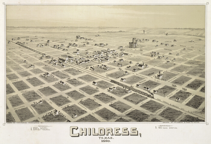
Childress, Texas
1890
-
Size
12.3 x 17.9 inches
-
Map/Doc
89077
-
Creation Date
1890

Clarendon, Texas, Donley Co.
1890
-
Size
15.7 x 26.6 inches
-
Map/Doc
89078
-
Creation Date
1890

Bird's Eye View of Cuero, De Witt County, Texas
1881
-
Size
18.4 x 25.5 inches
-
Map/Doc
89079
-
Creation Date
1881

Bird's Eye View of the City of Dallas, Texas
1872
-
Size
18.6 x 25.6 inches
-
Map/Doc
89080
-
Creation Date
1872
![89081, Fort Worth, Tarrant Co[unty], Texas, Non-GLO Digital Images](https://historictexasmaps.com/wmedia_w700/maps/89081.tif.jpg)
Fort Worth, Tarrant Co[unty], Texas
1876
-
Size
14.9 x 18.0 inches
-
Map/Doc
89081
-
Creation Date
1876

Fort Worth, Tex. "The Queen of the Prairies," County Seat of Tarrant County
1886
-
Size
26.0 x 33.3 inches
-
Map/Doc
89082
-
Creation Date
1886

Perspective Map of Fort Worth, Tex.
1891
-
Size
19.9 x 33.0 inches
-
Map/Doc
89083
-
Creation Date
1891

Bird's Eye View of the City of Gainesville Cooke County, Texas
1883
-
Size
19.2 x 25.6 inches
-
Map/Doc
89084
-
Creation Date
1883

Bird's Eye View of the City of Galveston Texas
1871
-
Size
20.4 x 30.8 inches
-
Map/Doc
89086
-
Creation Date
1871