
Geological map of Texas showing approximate locations and drilling wells. Also names of companies drilling
1920
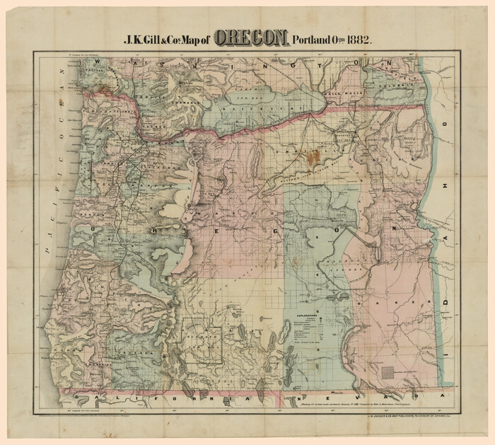
J.K Gill & Cos Map of Oregon
1882

Rand, McNally & Co's New Mexico
1880

Map of Arizona prepared specially for R.J. Hinton's handbook of Arizona
1877
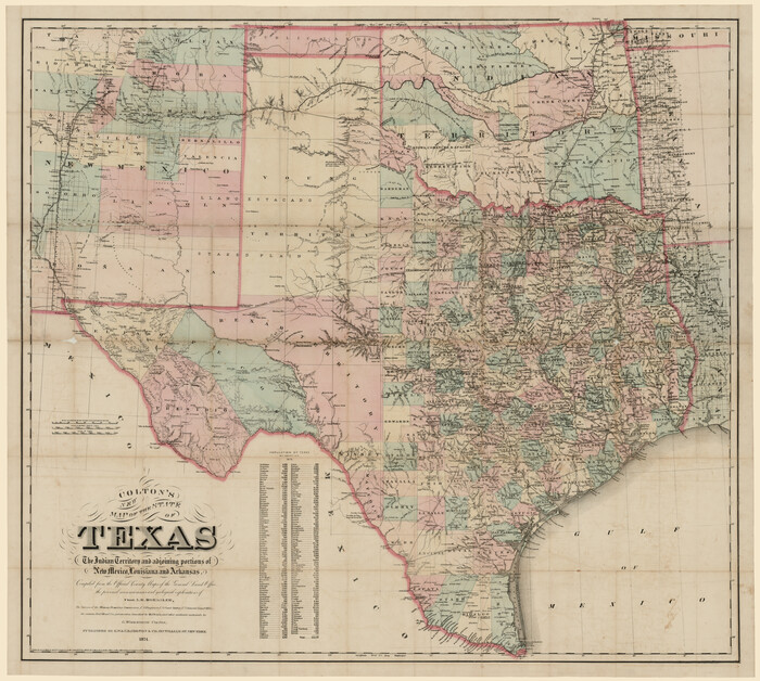
Colton's new map of the State of Texas, the Indian Territory and adjoining portions of New Mexico, Louisiana and Arkansas
1874
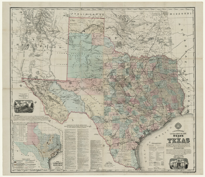
A. R. Roessler's Latest Map of the State of Texas Exhibiting Mineral and Agricultural Districts, Post Offices and Mailroutes, Railroads projected and finished, Timber, Prairie, Swamp Lands, etc. etc. etc.
1874

Guide map of the Great Texas Cattle Trail from Red River crossing to the Old Reliable Kansas Pacific Railway
1873
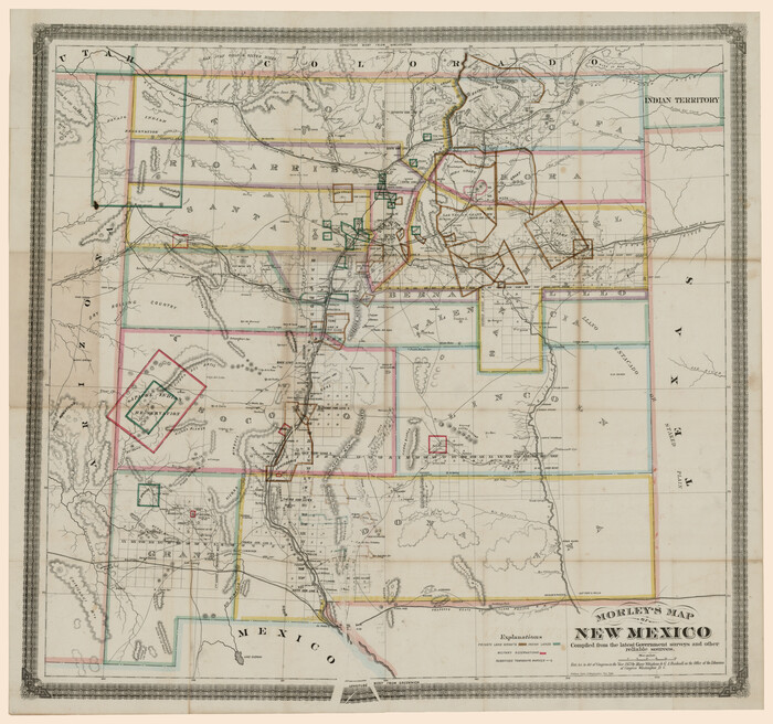
Morley's Map of New Mexico compiled from the latest government surveys and other reliable sources
1873

Outline Map showing a new route from Texas to Fort Yuma, California for cattle droves and trains en route to California
1870

J. De Cordova's Map of the State of Texas Compiled from the records of the General Land Office of the State
1867

Traveller's Map of the State of Texas
1867

Map of West Hickory Creek, Venango & Warren Cos., Pa.
1866

A map of the Anthracite Coal Fields of Pennsylvania embracing all of Schuylkill County and parts of Carbon, Luzerne, Columbia, Northumberland, Dauphin, and Lebanon Counties
1863
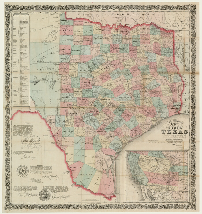
J. De Cordova's Map of the State of Texas Compiled from the records of the General Land Office of the State
1861
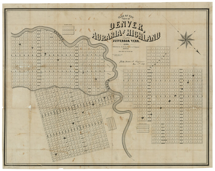
Plan of the cities of Denver, Auraria and Highland, Jefferson Terr.
1859

Geological map of the State of Pennsylvania constructed from original surveys
1858
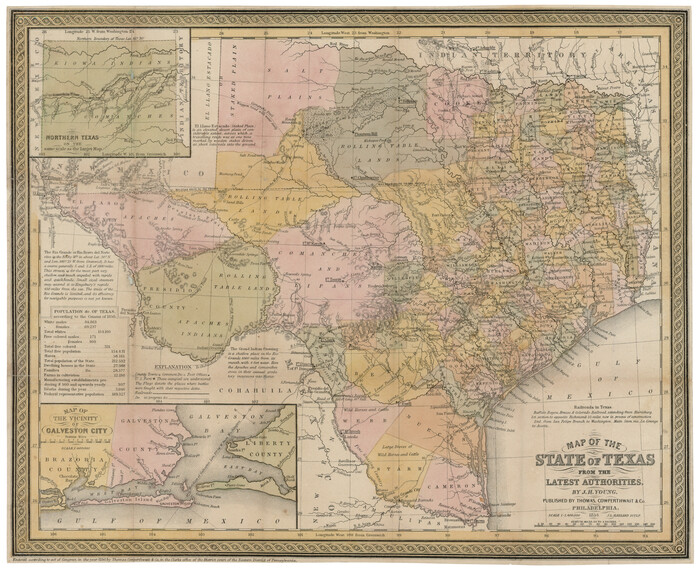
Map of the State of Texas from the latest authorities
1854

A new map of the states of Texas & California, the territories of Oregon, New Mexico, Utah, and the regions adjacent: compiled from the most recent authorities
1851
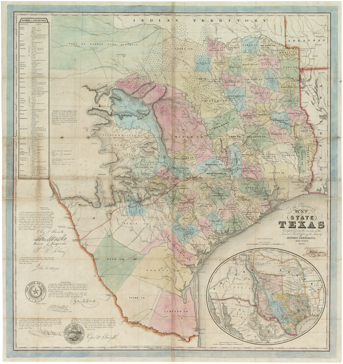
J. De Cordova's Map of the State of Texas Compiled from the records of the General Land Office of the State
1849
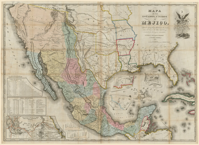
Mapa de los Estados Unidos de Méjico, Segun lo organizado y definido por las varias actas del Congreso de dicha Republica: y construido por las mejores autoridades
1847

Map of Mexico, including Yucatan & Upper California, exhibiting the chief cities and towns, the principal travelling routes &c.
1847

A Map of the United States of Mexico as organized and defined by the several Acts of the Congress of that Republic
1846

A new map of Texas, Oregon and California with the regions adjoining, compiled from the most recent authorities
1846
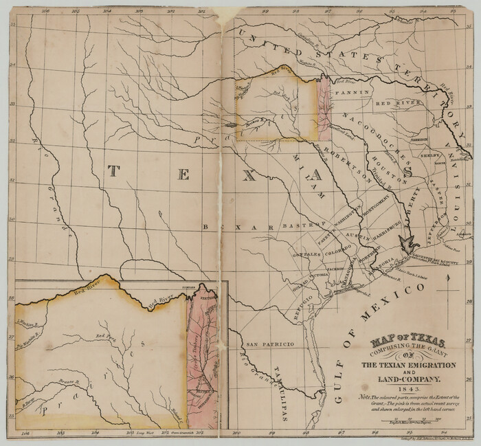
Map of Texas comprising the grant of the Texian Emigration and Land-Company
1843

Sabine Pass and mouth of the River Sabine in the sea
1842

Map of the River Sabine from its mouth on the Gulf of Mexico in the sea to Logan's Ferry
1842

Map of the River Sabine from Logan's Ferry to 32nd degree of north latitude
1842

Part of the boundary between the United States and Texas; from Sabine River northward to the 36th mile mound
1842

Part of the boundary between the United States and Texas; north of Sabine River from the 36th to the 72nd mile mound
1842
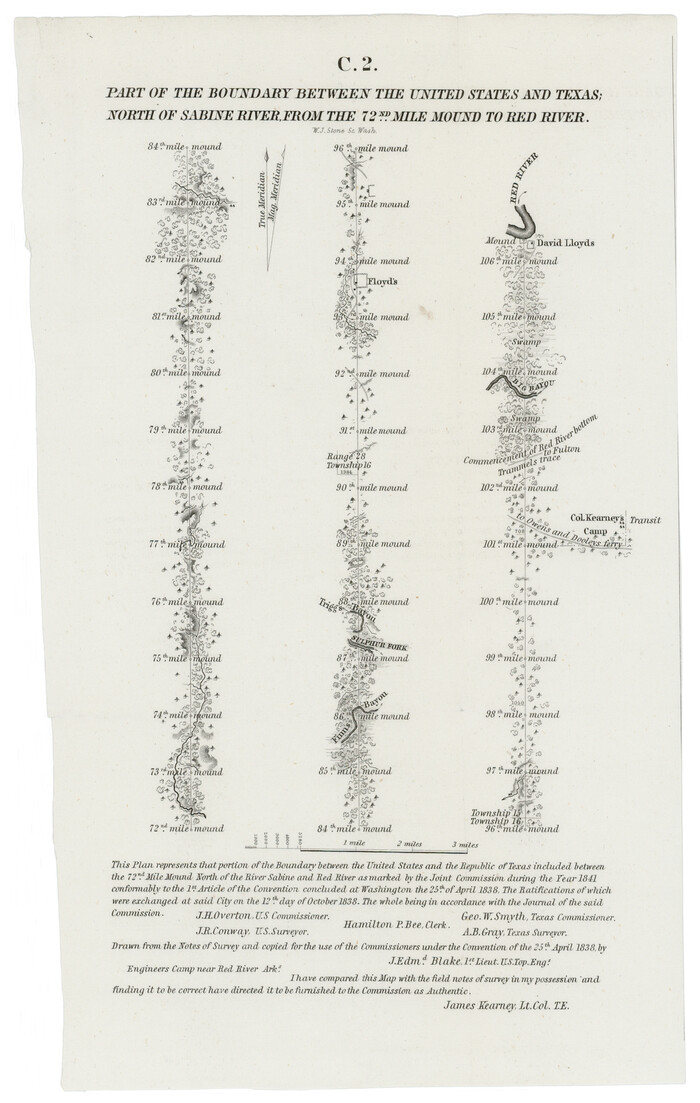
Part of the boundary between the United States and Texas; north of Sabine River, from the 72nd mile mound to the Red River
1842

Geological map of Texas showing approximate locations and drilling wells. Also names of companies drilling
1920
-
Size
26.9 x 26.6 inches
-
Map/Doc
93937
-
Creation Date
1920

J.K Gill & Cos Map of Oregon
1882
-
Size
29.0 x 32.3 inches
-
Map/Doc
94055
-
Creation Date
1882

Rand, McNally & Co's New Mexico
1880
-
Size
21.4 x 14.7 inches
-
Map/Doc
94050
-
Creation Date
1880

Map of Arizona prepared specially for R.J. Hinton's handbook of Arizona
1877
-
Size
36.4 x 25.7 inches
-
Map/Doc
94062
-
Creation Date
1877

Colton's new map of the State of Texas, the Indian Territory and adjoining portions of New Mexico, Louisiana and Arkansas
1874
-
Size
34.7 x 38.7 inches
-
Map/Doc
93762
-
Creation Date
1874

A. R. Roessler's Latest Map of the State of Texas Exhibiting Mineral and Agricultural Districts, Post Offices and Mailroutes, Railroads projected and finished, Timber, Prairie, Swamp Lands, etc. etc. etc.
1874
-
Size
40.8 x 47.4 inches
-
Map/Doc
93934
-
Creation Date
1874

Guide map of the Great Texas Cattle Trail from Red River crossing to the Old Reliable Kansas Pacific Railway
1873
-
Size
23.4 x 17.6 inches
-
Map/Doc
93938
-
Creation Date
1873

Morley's Map of New Mexico compiled from the latest government surveys and other reliable sources
1873
-
Size
26.2 x 28.0 inches
-
Map/Doc
94052
-
Creation Date
1873

Outline Map showing a new route from Texas to Fort Yuma, California for cattle droves and trains en route to California
1870
-
Size
17.3 x 52.7 inches
-
Map/Doc
94048
-
Creation Date
1870

J. De Cordova's Map of the State of Texas Compiled from the records of the General Land Office of the State
1867
-
Size
38.0 x 35.4 inches
-
Map/Doc
93759
-
Creation Date
1867

Traveller's Map of the State of Texas
1867
-
Size
43.6 x 41.7 inches
-
Map/Doc
93935
-
Creation Date
1867

Map of West Hickory Creek, Venango & Warren Cos., Pa.
1866
-
Size
45.7 x 24.7 inches
-
Map/Doc
94056
-
Creation Date
1866

A map of the Anthracite Coal Fields of Pennsylvania embracing all of Schuylkill County and parts of Carbon, Luzerne, Columbia, Northumberland, Dauphin, and Lebanon Counties
1863
-
Size
27.1 x 39.3 inches
-
Map/Doc
94054
-
Creation Date
1863

J. De Cordova's Map of the State of Texas Compiled from the records of the General Land Office of the State
1861
-
Size
36.9 x 34.9 inches
-
Map/Doc
93931
-
Creation Date
1861

Plan of the cities of Denver, Auraria and Highland, Jefferson Terr.
1859
-
Size
23.7 x 29.8 inches
-
Map/Doc
94053
-
Creation Date
1859

Geological map of the State of Pennsylvania constructed from original surveys
1858
-
Size
39.3 x 71.6 inches
-
Map/Doc
93772
-
Creation Date
1858

Map of the State of Texas from the latest authorities
1854
-
Size
13.2 x 16.3 inches
-
Map/Doc
93761
-
Creation Date
1854

A new map of the states of Texas & California, the territories of Oregon, New Mexico, Utah, and the regions adjacent: compiled from the most recent authorities
1851
-
Size
22.4 x 20.4 inches
-
Map/Doc
94051
-
Creation Date
1851

J. De Cordova's Map of the State of Texas Compiled from the records of the General Land Office of the State
1849
-
Size
36.0 x 34.0 inches
-
Map/Doc
93930
-
Creation Date
1849

Mapa de los Estados Unidos de Méjico, Segun lo organizado y definido por las varias actas del Congreso de dicha Republica: y construido por las mejores autoridades
1847
-
Size
31.2 x 42.9 inches
-
Map/Doc
93763
-
Creation Date
1847

Map of Mexico, including Yucatan & Upper California, exhibiting the chief cities and towns, the principal travelling routes &c.
1847
-
Size
33.5 x 24.7 inches
-
Map/Doc
93936
-
Creation Date
1847

A Map of the United States of Mexico as organized and defined by the several Acts of the Congress of that Republic
1846
-
Size
24.0 x 31.7 inches
-
Map/Doc
93760
-
Creation Date
1846

A new map of Texas, Oregon and California with the regions adjoining, compiled from the most recent authorities
1846
-
Size
23.7 x 21.8 inches
-
Map/Doc
93940
-
Creation Date
1846

Map of Texas comprising the grant of the Texian Emigration and Land-Company
1843
-
Size
9.4 x 10.1 inches
-
Map/Doc
94049
-
Creation Date
1843

Sabine Pass and mouth of the River Sabine in the sea
1842
-
Size
24.0 x 19.1 inches
-
Map/Doc
93766
-
Creation Date
1842

Map of the River Sabine from its mouth on the Gulf of Mexico in the sea to Logan's Ferry
1842
-
Size
37.5 x 9.4 inches
-
Map/Doc
93767
-
Creation Date
1842

Map of the River Sabine from Logan's Ferry to 32nd degree of north latitude
1842
-
Size
8.7 x 11.6 inches
-
Map/Doc
93768
-
Creation Date
1842

Part of the boundary between the United States and Texas; from Sabine River northward to the 36th mile mound
1842
-
Size
12.5 x 7.6 inches
-
Map/Doc
93769
-
Creation Date
1842

Part of the boundary between the United States and Texas; north of Sabine River from the 36th to the 72nd mile mound
1842
-
Size
12.0 x 8.8 inches
-
Map/Doc
93770
-
Creation Date
1842

Part of the boundary between the United States and Texas; north of Sabine River, from the 72nd mile mound to the Red River
1842
-
Size
12.8 x 8.1 inches
-
Map/Doc
93771
-
Creation Date
1842