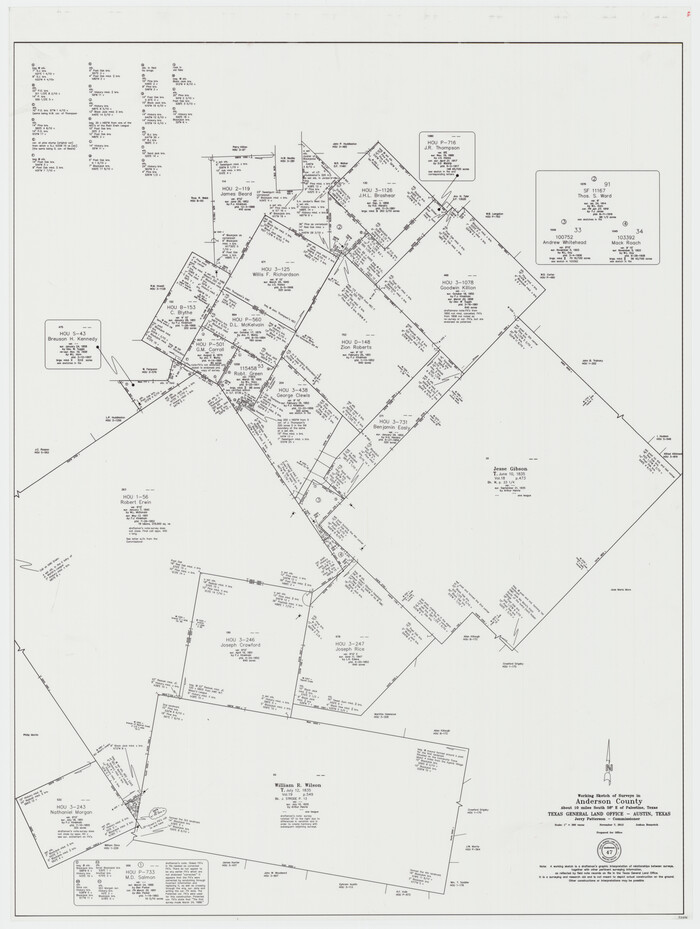
Anderson County Working Sketch 47
2012

Anderson County Sketch File 32
2002

Anderson County Rolled Sketch 15
2002

Anderson County Working Sketch 46
2000

Anderson County Rolled Sketch 14
1997
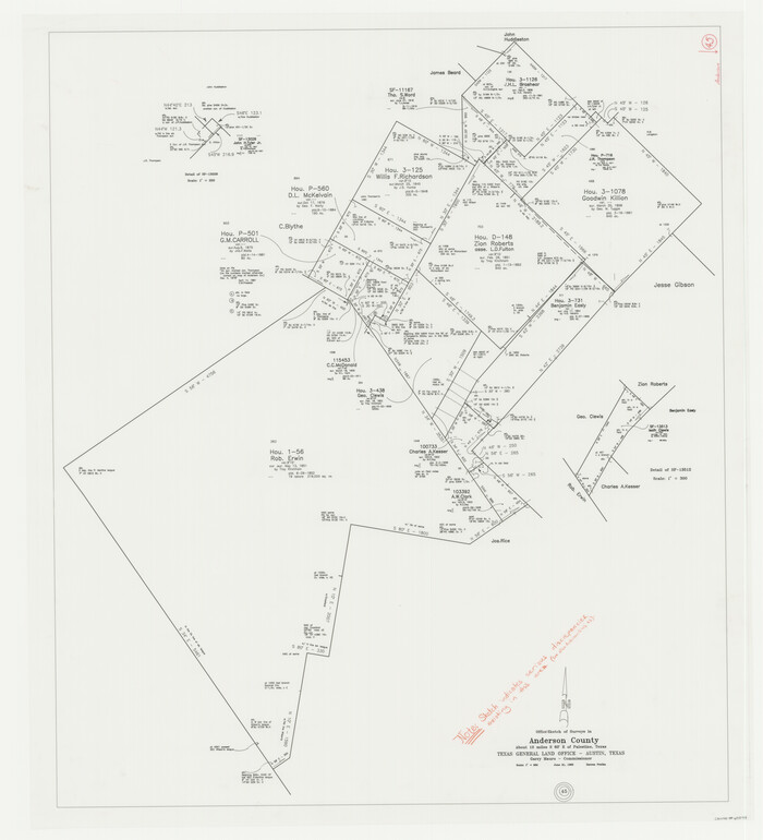
Anderson County Working Sketch 45
1993
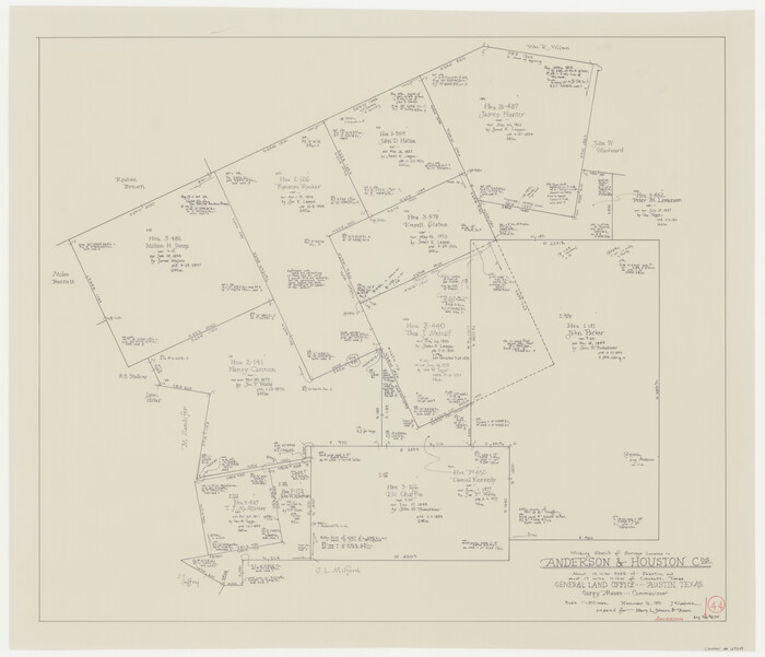
Anderson County Working Sketch 44
1991
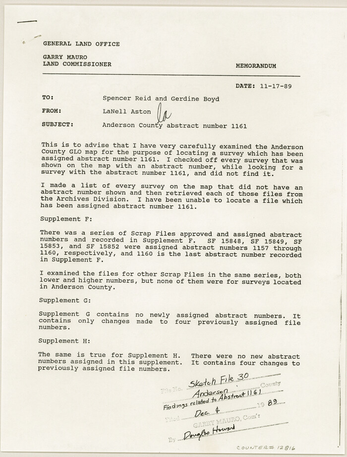
Anderson County Sketch File 30
1989
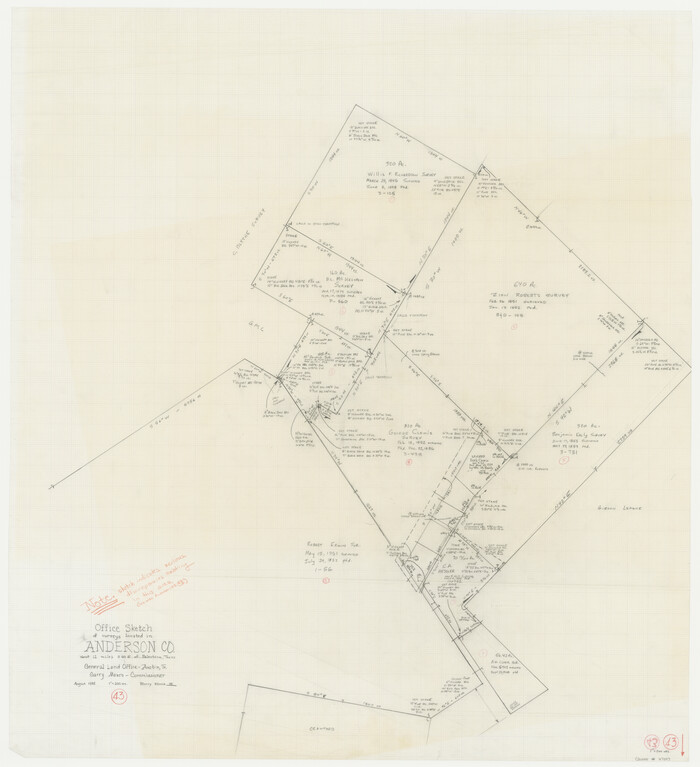
Anderson County Working Sketch 43
1988
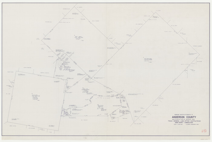
Anderson County Working Sketch 42
1987
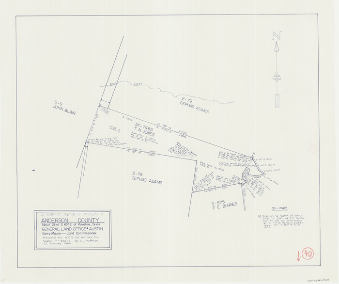
Anderson County Working Sketch 40
1986
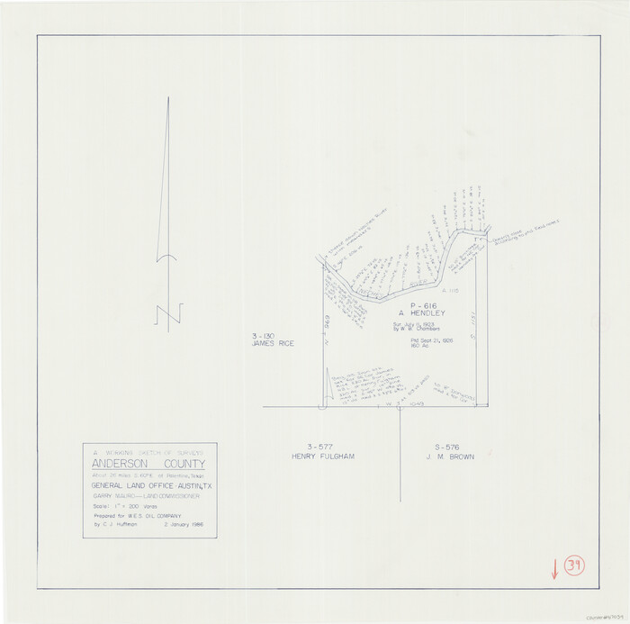
Anderson County Working Sketch 39
1986

Anderson County Working Sketch 38
1985
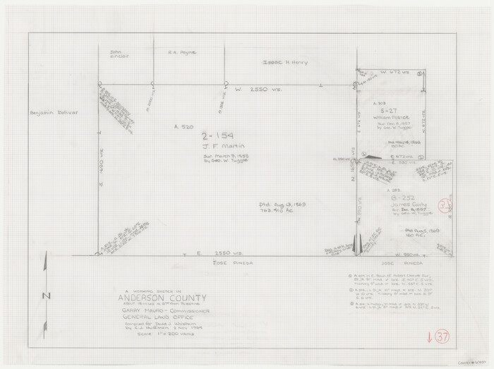
Anderson County Working Sketch 37
1984
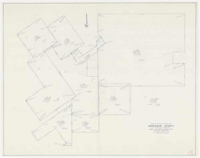
Anderson County Working Sketch 36
1984
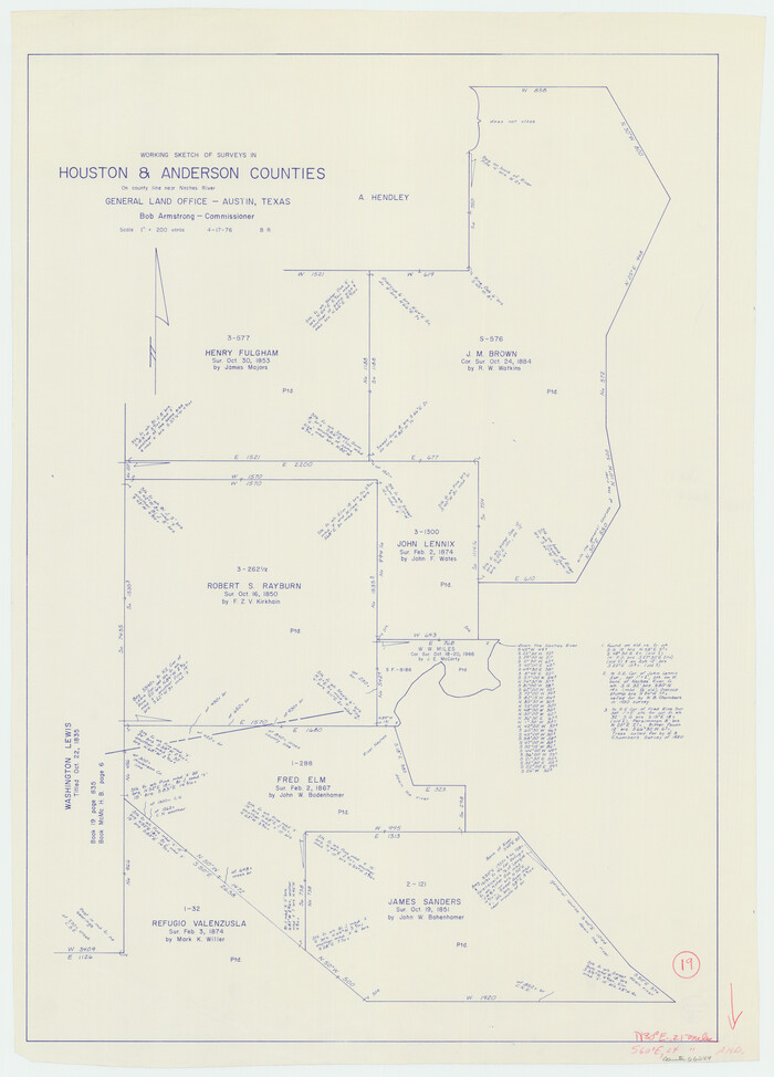
Houston County Working Sketch 19
1976
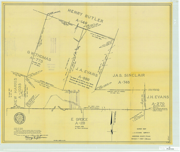
Anderson County Sketch File 27
1970
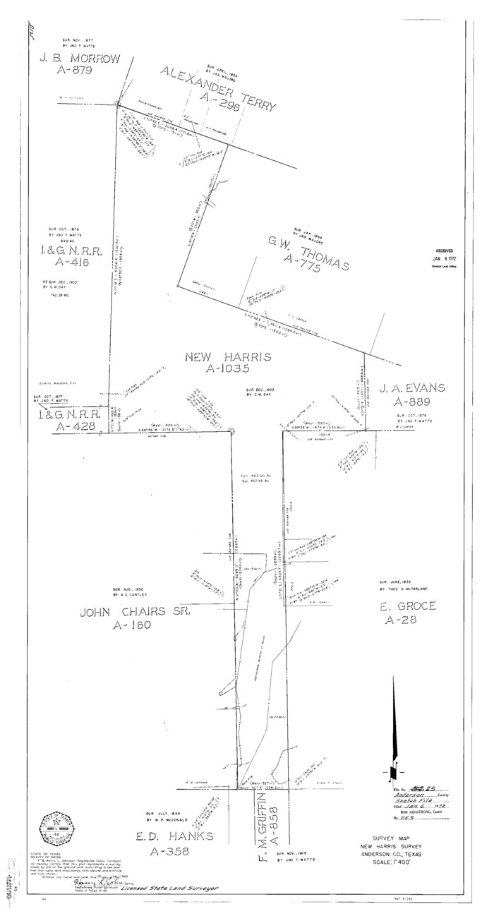
Anderson County Sketch File 25
1969

Anderson County Working Sketch 35
1968
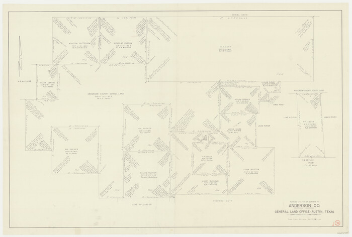
Anderson County Working Sketch 34
1967
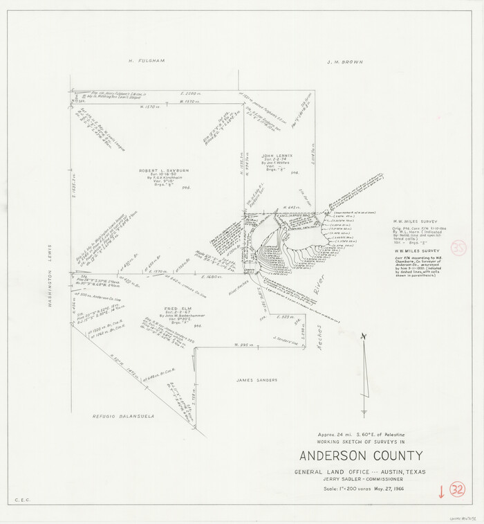
Anderson County Working Sketch 32
1966

Anderson County Working Sketch 33
1966

Anderson County Working Sketch 31
1966
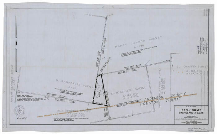
Anderson County Rolled Sketch 13
1964
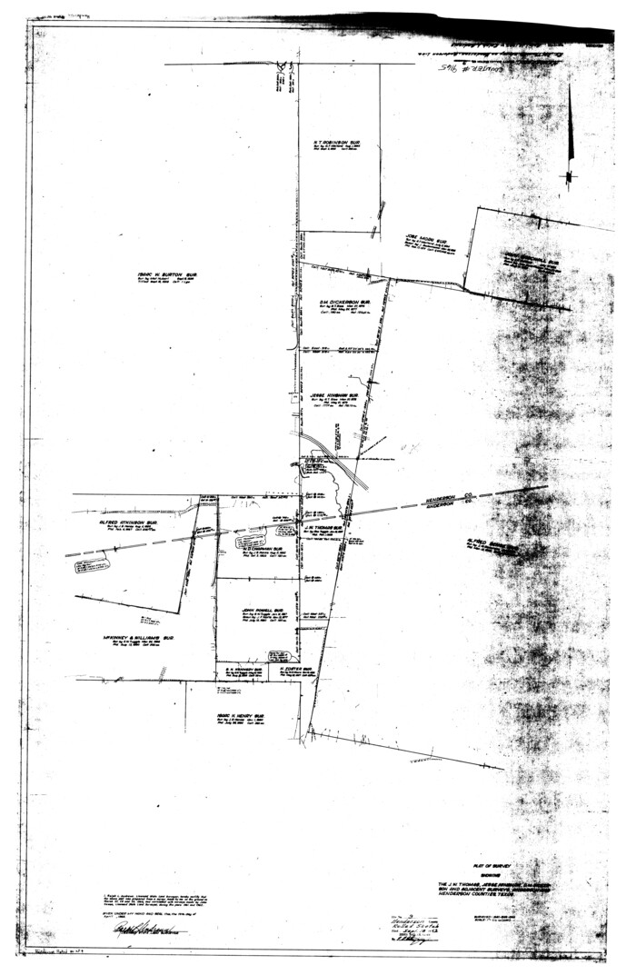
Henderson County Rolled Sketch 9
1963

Anderson County Working Sketch 30
1963

Anderson County Working Sketch 29
1962

Henderson County Working Sketch 29
1961
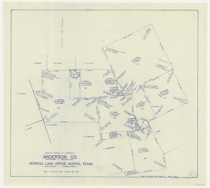
Anderson County Working Sketch 28
1961

General Highway Map, Anderson County, Texas
1961

Anderson County Working Sketch 47
2012
-
Size
49.1 x 37.0 inches
-
Map/Doc
93396
-
Creation Date
2012

Anderson County Sketch File 32
2002
-
Size
11.3 x 8.8 inches
-
Map/Doc
78312
-
Creation Date
2002

Anderson County Rolled Sketch 15
2002
-
Size
40.0 x 28.3 inches
-
Map/Doc
78315
-
Creation Date
2002

Anderson County Working Sketch 46
2000
-
Size
29.2 x 34.2 inches
-
Map/Doc
67046
-
Creation Date
2000

Anderson County Rolled Sketch 14
1997
-
Size
30.1 x 36.5 inches
-
Map/Doc
77159
-
Creation Date
1997

Anderson County Working Sketch 45
1993
-
Size
41.8 x 38.0 inches
-
Map/Doc
67045
-
Creation Date
1993

Anderson County Working Sketch 44
1991
-
Size
27.7 x 32.3 inches
-
Map/Doc
67044
-
Creation Date
1991

Anderson County Sketch File 30
1989
-
Size
11.3 x 8.6 inches
-
Map/Doc
12816
-
Creation Date
1989

Anderson County Working Sketch 43
1988
-
Size
37.2 x 33.9 inches
-
Map/Doc
67043
-
Creation Date
1988

Anderson County Working Sketch 42
1987
-
Size
34.4 x 51.1 inches
-
Map/Doc
67042
-
Creation Date
1987

Anderson County Working Sketch 40
1986
-
Size
17.0 x 20.3 inches
-
Map/Doc
67040
-
Creation Date
1986

Anderson County Working Sketch 39
1986
-
Size
21.6 x 21.8 inches
-
Map/Doc
67039
-
Creation Date
1986

Anderson County Working Sketch 38
1985
-
Size
43.3 x 45.9 inches
-
Map/Doc
67038
-
Creation Date
1985

Anderson County Working Sketch 37
1984
-
Size
18.2 x 24.4 inches
-
Map/Doc
67037
-
Creation Date
1984

Anderson County Working Sketch 36
1984
-
Size
36.3 x 45.6 inches
-
Map/Doc
67036
-
Creation Date
1984

Houston County Working Sketch 19
1976
-
Size
33.6 x 24.2 inches
-
Map/Doc
66249
-
Creation Date
1976

Anderson County Sketch File 27
1970
-
Size
19.5 x 23.7 inches
-
Map/Doc
10806
-
Creation Date
1970

Anderson County Sketch File 25
1969
-
Size
40.9 x 21.9 inches
-
Map/Doc
10316
-
Creation Date
1969

Anderson County Working Sketch 35
1968
-
Size
26.1 x 22.4 inches
-
Map/Doc
67035
-
Creation Date
1968

Anderson County Working Sketch 34
1967
-
Size
32.1 x 47.7 inches
-
Map/Doc
67034
-
Creation Date
1967

Anderson County Working Sketch 32
1966
-
Size
23.7 x 21.9 inches
-
Map/Doc
67032
-
Creation Date
1966

Anderson County Working Sketch 33
1966
-
Size
30.8 x 29.9 inches
-
Map/Doc
67033
-
Creation Date
1966

Anderson County Working Sketch 31
1966
-
Size
18.3 x 23.2 inches
-
Map/Doc
67031
-
Creation Date
1966

Anderson County Rolled Sketch 13
1964
-
Size
19.8 x 32.2 inches
-
Map/Doc
77158
-
Creation Date
1964

Henderson County Rolled Sketch 9
1963
-
Size
51.9 x 33.8 inches
-
Map/Doc
9165
-
Creation Date
1963

Anderson County Working Sketch 30
1963
-
Size
29.8 x 41.6 inches
-
Map/Doc
67030
-
Creation Date
1963

Anderson County Working Sketch 29
1962
-
Size
24.6 x 27.2 inches
-
Map/Doc
67029
-
Creation Date
1962

Henderson County Working Sketch 29
1961
-
Size
39.3 x 41.9 inches
-
Map/Doc
66162
-
Creation Date
1961

Anderson County Working Sketch 28
1961
-
Size
23.7 x 26.5 inches
-
Map/Doc
67028
-
Creation Date
1961

General Highway Map, Anderson County, Texas
1961
-
Size
18.3 x 25.0 inches
-
Map/Doc
79346
-
Creation Date
1961