Anderson County Boundary File 1


Print $10.00
- Digital $50.00
Anderson County Boundary File 1
Size: 14.2 x 8.6 inches
49726
Anderson County Boundary File 10
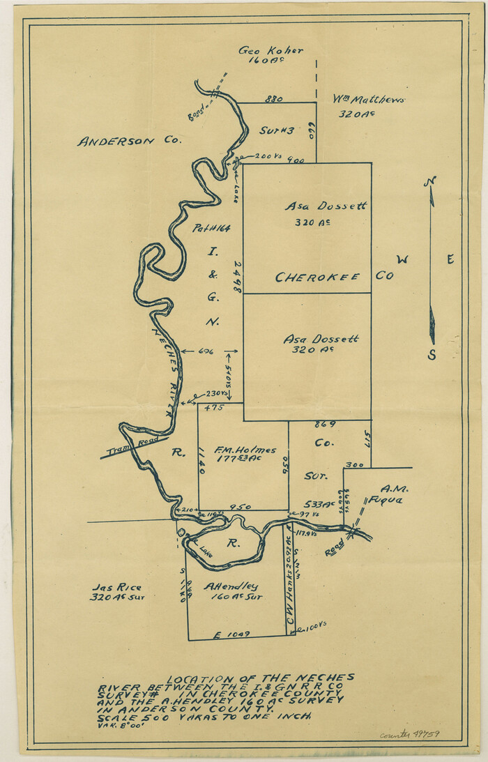

Print $13.00
- Digital $50.00
Anderson County Boundary File 10
Size: 16.0 x 10.2 inches
49759
Anderson County Boundary File 2
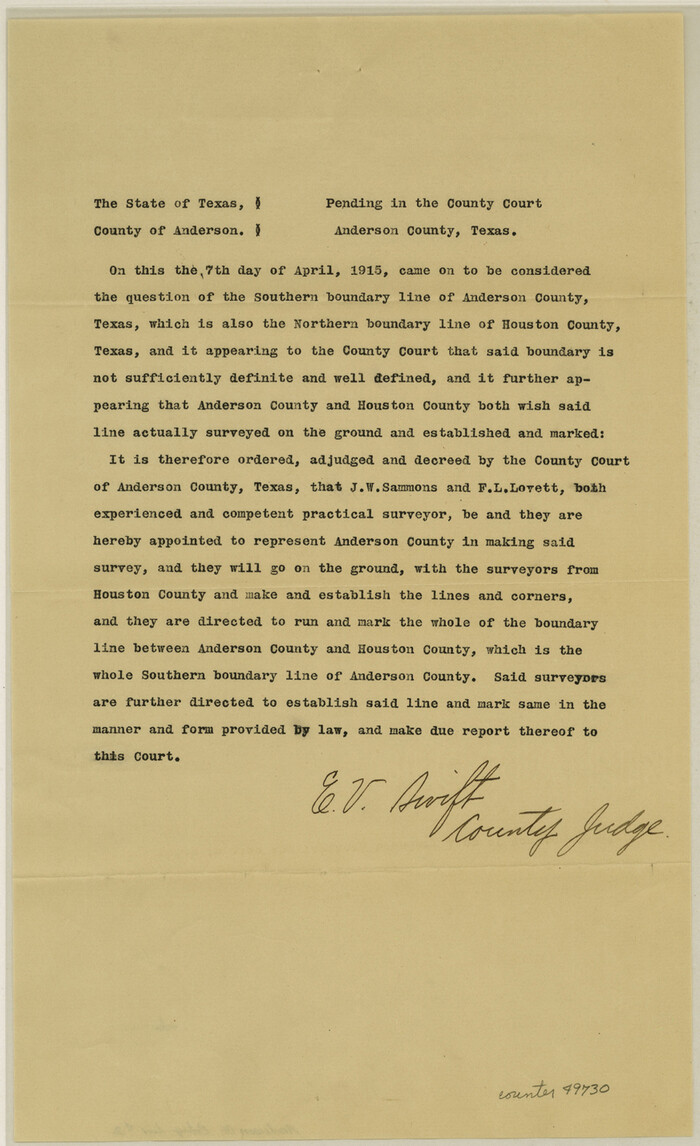

Print $8.00
- Digital $50.00
Anderson County Boundary File 2
Size: 14.3 x 8.7 inches
49730
Anderson County Boundary File 3


Print $9.00
- Digital $50.00
Anderson County Boundary File 3
Size: 14.3 x 8.8 inches
49733
Anderson County Boundary File 4


Print $10.00
- Digital $50.00
Anderson County Boundary File 4
Size: 8.9 x 7.4 inches
49737
Anderson County Boundary File 5
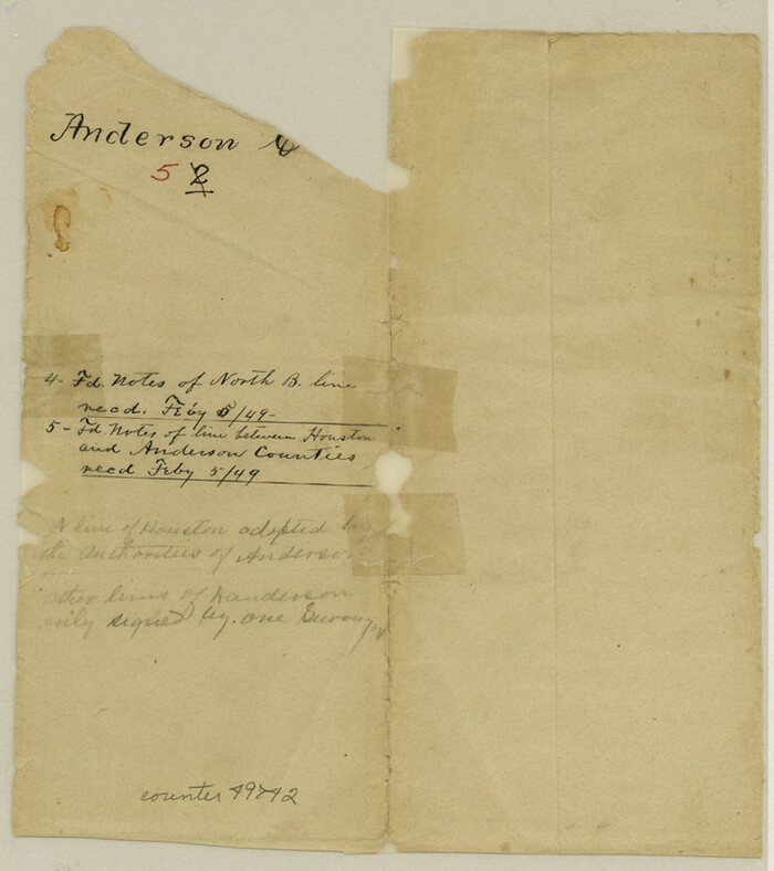

Print $10.00
- Digital $50.00
Anderson County Boundary File 5
Size: 8.1 x 7.2 inches
49742
Anderson County Boundary File 6


Print $9.00
- Digital $50.00
Anderson County Boundary File 6
Size: 14.3 x 8.7 inches
49747
Anderson County Boundary File 7


Print $10.00
- Digital $50.00
Anderson County Boundary File 7
Size: 14.4 x 8.9 inches
49751
Anderson County Boundary File 8
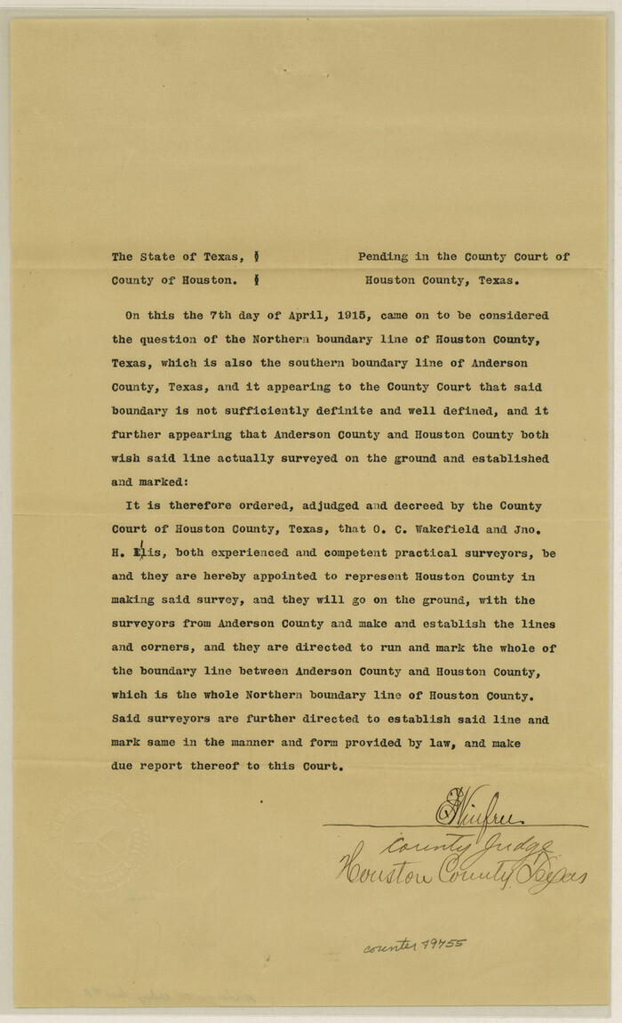

Print $8.00
- Digital $50.00
Anderson County Boundary File 8
Size: 14.5 x 8.8 inches
49755
Anderson County Boundary File 9
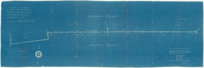

Print $40.00
- Digital $50.00
Anderson County Boundary File 9
Size: 19.7 x 58.3 inches
49758
Anderson County Boundary File Index


Print $2.00
- Digital $50.00
Anderson County Boundary File Index
Size: 9.1 x 3.3 inches
49725
Anderson County Rolled Sketch 10
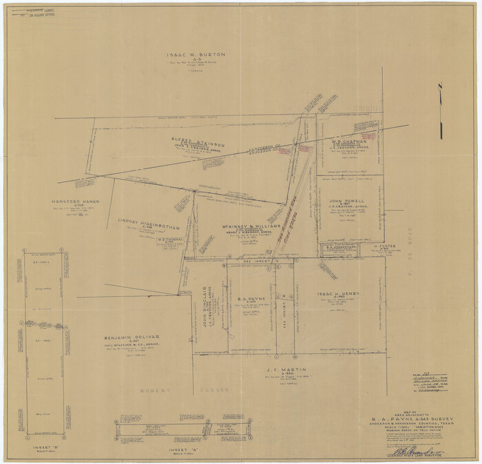

Print $20.00
- Digital $50.00
Anderson County Rolled Sketch 10
1956
Size: 33.4 x 34.6 inches
8365
Anderson County Rolled Sketch 11


Print $20.00
- Digital $50.00
Anderson County Rolled Sketch 11
1956
Size: 33.4 x 34.4 inches
8366
Anderson County Rolled Sketch 12
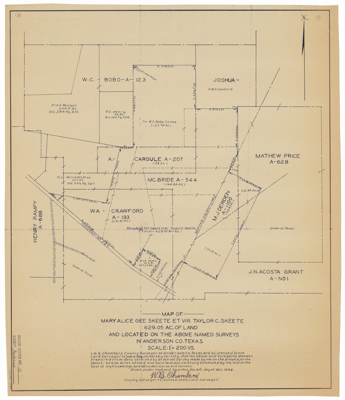

Print $20.00
- Digital $50.00
Anderson County Rolled Sketch 12
1954
Size: 24.6 x 21.3 inches
77157
Anderson County Rolled Sketch 13
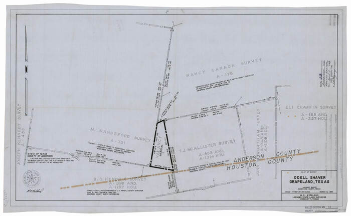

Print $20.00
- Digital $50.00
Anderson County Rolled Sketch 13
1964
Size: 19.8 x 32.2 inches
77158
Anderson County Rolled Sketch 14


Print $20.00
- Digital $50.00
Anderson County Rolled Sketch 14
1997
Size: 30.1 x 36.5 inches
77159
Anderson County Rolled Sketch 15


Print $20.00
- Digital $50.00
Anderson County Rolled Sketch 15
2002
Size: 40.0 x 28.3 inches
78315
Anderson County Rolled Sketch 7


Print $20.00
- Digital $50.00
Anderson County Rolled Sketch 7
1941
Size: 42.2 x 44.9 inches
8364
Anderson County Rolled Sketch 8
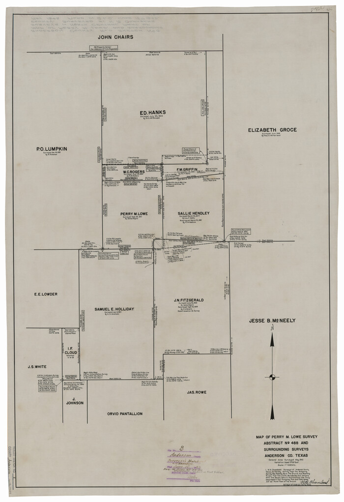

Print $20.00
- Digital $50.00
Anderson County Rolled Sketch 8
Size: 34.8 x 23.9 inches
77154
Anderson County Rolled Sketch 9


Print $20.00
- Digital $50.00
Anderson County Rolled Sketch 9
Size: 34.7 x 23.6 inches
77156
Anderson County Sketch File 1
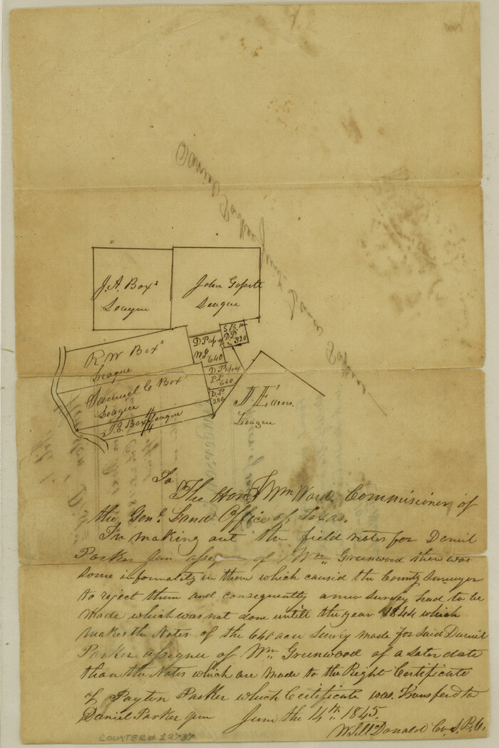

Print $4.00
- Digital $50.00
Anderson County Sketch File 1
1845
Size: 12.5 x 8.3 inches
12737
Anderson County Sketch File 11


Print $6.00
- Digital $50.00
Anderson County Sketch File 11
1853
Size: 8.7 x 6.6 inches
12765
Anderson County Sketch File 11a
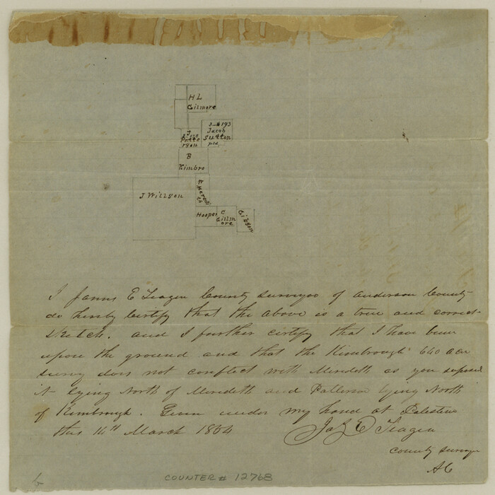

Print $6.00
- Digital $50.00
Anderson County Sketch File 11a
1854
Size: 8.2 x 8.2 inches
12768
Anderson County
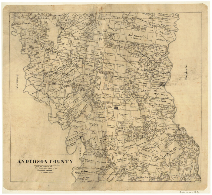

Print $20.00
- Digital $50.00
Anderson County
1871
-
Size
20.2 x 21.9 inches
-
Map/Doc
3227
-
Creation Date
1871
Anderson County


Print $40.00
- Digital $50.00
Anderson County
1942
-
Size
54.2 x 47.3 inches
-
Map/Doc
66701
-
Creation Date
1942
Anderson County


Print $40.00
- Digital $50.00
Anderson County
1942
-
Size
52.9 x 47.9 inches
-
Map/Doc
66702
-
Creation Date
1942
Anderson County


Print $40.00
- Digital $50.00
Anderson County
1942
-
Size
53.5 x 47.1 inches
-
Map/Doc
73066
-
Creation Date
1942
Anderson County
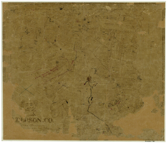

Print $20.00
- Digital $50.00
Anderson County
1861
-
Size
18.0 x 21.2 inches
-
Map/Doc
774
-
Creation Date
1861
Anderson County
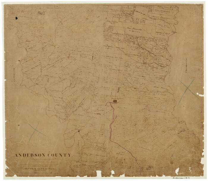

Print $20.00
- Digital $50.00
Anderson County
1871
-
Size
18.3 x 20.8 inches
-
Map/Doc
776
-
Creation Date
1871
Anderson County
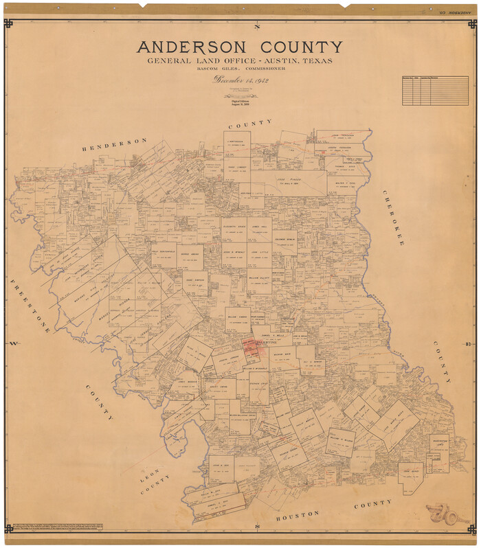

Print $40.00
- Digital $50.00
Anderson County
1942
-
Size
54.8 x 48.8 inches
-
Map/Doc
95415
-
Creation Date
1942
Anderson County Boundary File 1


Print $10.00
- Digital $50.00
Anderson County Boundary File 1
-
Size
14.2 x 8.6 inches
-
Map/Doc
49726
Anderson County Boundary File 10


Print $13.00
- Digital $50.00
Anderson County Boundary File 10
-
Size
16.0 x 10.2 inches
-
Map/Doc
49759
Anderson County Boundary File 2


Print $8.00
- Digital $50.00
Anderson County Boundary File 2
-
Size
14.3 x 8.7 inches
-
Map/Doc
49730
Anderson County Boundary File 3


Print $9.00
- Digital $50.00
Anderson County Boundary File 3
-
Size
14.3 x 8.8 inches
-
Map/Doc
49733
Anderson County Boundary File 4


Print $10.00
- Digital $50.00
Anderson County Boundary File 4
-
Size
8.9 x 7.4 inches
-
Map/Doc
49737
Anderson County Boundary File 5


Print $10.00
- Digital $50.00
Anderson County Boundary File 5
-
Size
8.1 x 7.2 inches
-
Map/Doc
49742
Anderson County Boundary File 6


Print $9.00
- Digital $50.00
Anderson County Boundary File 6
-
Size
14.3 x 8.7 inches
-
Map/Doc
49747
Anderson County Boundary File 7


Print $10.00
- Digital $50.00
Anderson County Boundary File 7
-
Size
14.4 x 8.9 inches
-
Map/Doc
49751
Anderson County Boundary File 8


Print $8.00
- Digital $50.00
Anderson County Boundary File 8
-
Size
14.5 x 8.8 inches
-
Map/Doc
49755
Anderson County Boundary File 9


Print $40.00
- Digital $50.00
Anderson County Boundary File 9
-
Size
19.7 x 58.3 inches
-
Map/Doc
49758
Anderson County Boundary File Index


Print $2.00
- Digital $50.00
Anderson County Boundary File Index
-
Size
9.1 x 3.3 inches
-
Map/Doc
49725
Anderson County Rolled Sketch 10


Print $20.00
- Digital $50.00
Anderson County Rolled Sketch 10
1956
-
Size
33.4 x 34.6 inches
-
Map/Doc
8365
-
Creation Date
1956
Anderson County Rolled Sketch 11


Print $20.00
- Digital $50.00
Anderson County Rolled Sketch 11
1956
-
Size
33.4 x 34.4 inches
-
Map/Doc
8366
-
Creation Date
1956
Anderson County Rolled Sketch 12


Print $20.00
- Digital $50.00
Anderson County Rolled Sketch 12
1954
-
Size
24.6 x 21.3 inches
-
Map/Doc
77157
-
Creation Date
1954
Anderson County Rolled Sketch 13


Print $20.00
- Digital $50.00
Anderson County Rolled Sketch 13
1964
-
Size
19.8 x 32.2 inches
-
Map/Doc
77158
-
Creation Date
1964
Anderson County Rolled Sketch 14


Print $20.00
- Digital $50.00
Anderson County Rolled Sketch 14
1997
-
Size
30.1 x 36.5 inches
-
Map/Doc
77159
-
Creation Date
1997
Anderson County Rolled Sketch 15


Print $20.00
- Digital $50.00
Anderson County Rolled Sketch 15
2002
-
Size
40.0 x 28.3 inches
-
Map/Doc
78315
-
Creation Date
2002
Anderson County Rolled Sketch 7


Print $20.00
- Digital $50.00
Anderson County Rolled Sketch 7
1941
-
Size
42.2 x 44.9 inches
-
Map/Doc
8364
-
Creation Date
1941
Anderson County Rolled Sketch 8


Print $20.00
- Digital $50.00
Anderson County Rolled Sketch 8
-
Size
34.8 x 23.9 inches
-
Map/Doc
77154
Anderson County Rolled Sketch 9


Print $20.00
- Digital $50.00
Anderson County Rolled Sketch 9
-
Size
34.7 x 23.6 inches
-
Map/Doc
77156
Anderson County Sketch File 1


Print $4.00
- Digital $50.00
Anderson County Sketch File 1
1845
-
Size
12.5 x 8.3 inches
-
Map/Doc
12737
-
Creation Date
1845
Anderson County Sketch File 11


Print $6.00
- Digital $50.00
Anderson County Sketch File 11
1853
-
Size
8.7 x 6.6 inches
-
Map/Doc
12765
-
Creation Date
1853
Anderson County Sketch File 11a


Print $6.00
- Digital $50.00
Anderson County Sketch File 11a
1854
-
Size
8.2 x 8.2 inches
-
Map/Doc
12768
-
Creation Date
1854