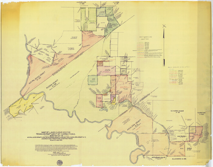
Anderson County Sketch File 19


Print $40.00
- Digital $50.00
Anderson County Sketch File 19
Size: 18.2 x 15.9 inches
10802
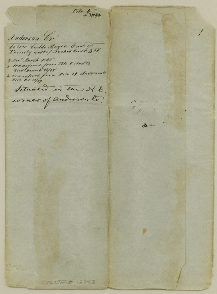
Anderson County Sketch File 4

Print $6.00
- Digital $50.00
Anderson County Sketch File 4
Size: 8.7 x 6.4 inches
12743
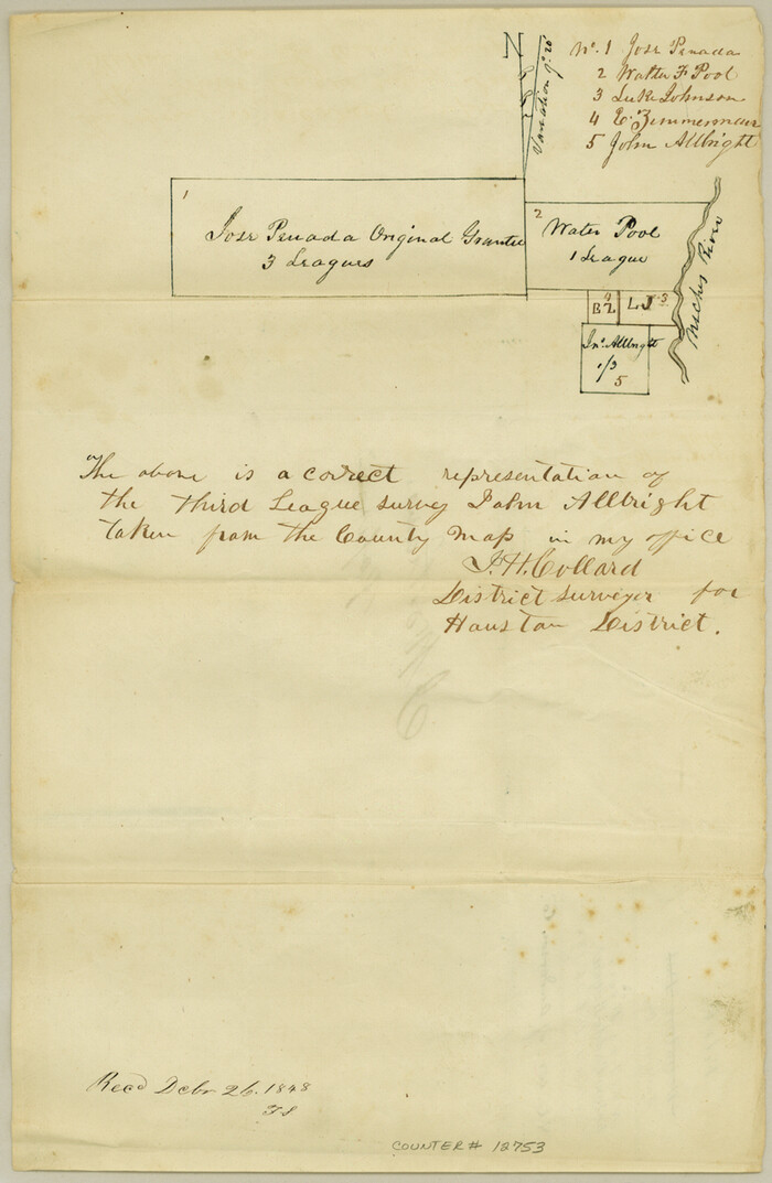
Anderson County Sketch File 6

Print $4.00
- Digital $50.00
Anderson County Sketch File 6
Size: 12.5 x 8.2 inches
12753
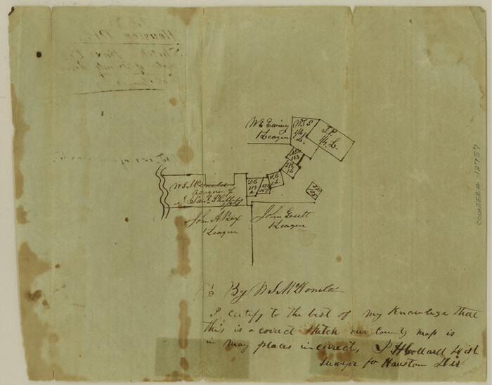
Anderson County Sketch File 7

Print $4.00
- Digital $50.00
Anderson County Sketch File 7
Size: 7.9 x 10.0 inches
12757
Anderson County Sketch File 9


Print $8.00
- Digital $50.00
Anderson County Sketch File 9
Size: 12.5 x 8.2 inches
12761
[Titles along the Trinity River]
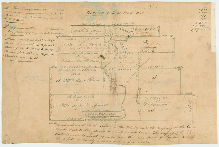

Print $3.00
- Digital $50.00
[Titles along the Trinity River]
Size: 10.6 x 15.8 inches
175
Henderson County Sketch File 9

Print $8.00
- Digital $50.00
Henderson County Sketch File 9
Size: 8.3 x 7.8 inches
26343
Houston County Sketch File 13
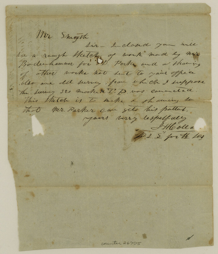

Print $6.00
- Digital $50.00
Houston County Sketch File 13
Size: 9.0 x 7.8 inches
26775
Houston County Sketch File 25


Print $4.00
- Digital $50.00
Houston County Sketch File 25
Size: 12.8 x 8.1 inches
26798
Houston County Sketch File 38


Print $8.00
- Digital $50.00
Houston County Sketch File 38
Size: 12.8 x 8.3 inches
26821
Anderson County Boundary File Index


Print $2.00
- Digital $50.00
Anderson County Boundary File Index
Size: 9.1 x 3.3 inches
49725
Anderson County Boundary File 1


Print $10.00
- Digital $50.00
Anderson County Boundary File 1
Size: 14.2 x 8.6 inches
49726
Anderson County Boundary File 2
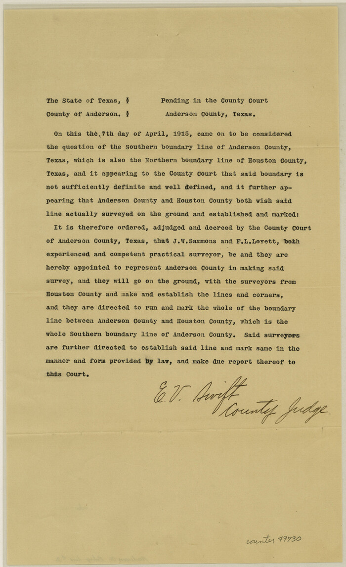

Print $8.00
- Digital $50.00
Anderson County Boundary File 2
Size: 14.3 x 8.7 inches
49730
Anderson County Boundary File 3


Print $9.00
- Digital $50.00
Anderson County Boundary File 3
Size: 14.3 x 8.8 inches
49733
Anderson County Boundary File 4


Print $10.00
- Digital $50.00
Anderson County Boundary File 4
Size: 8.9 x 7.4 inches
49737
Anderson County Boundary File 5
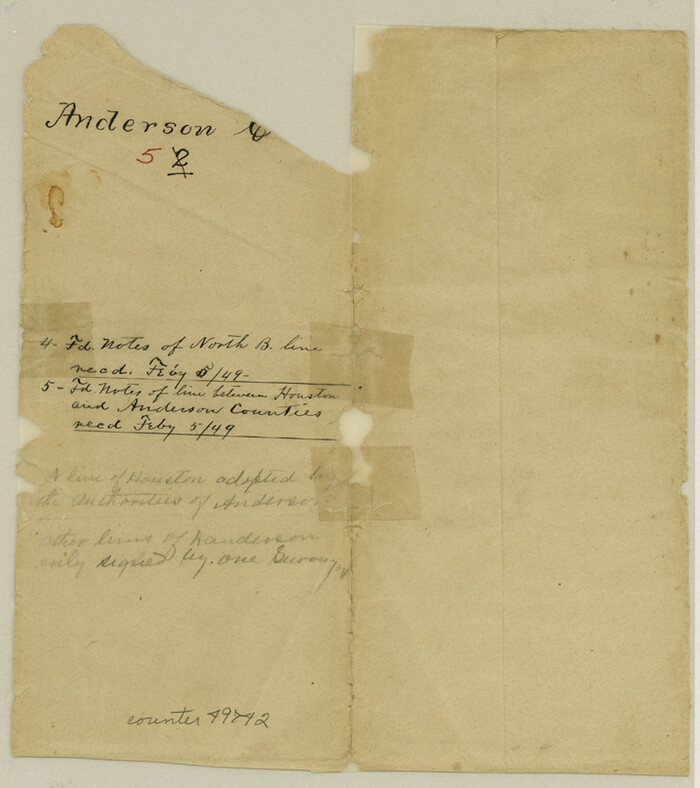

Print $10.00
- Digital $50.00
Anderson County Boundary File 5
Size: 8.1 x 7.2 inches
49742
Anderson County Boundary File 6


Print $9.00
- Digital $50.00
Anderson County Boundary File 6
Size: 14.3 x 8.7 inches
49747
Anderson County Boundary File 7


Print $10.00
- Digital $50.00
Anderson County Boundary File 7
Size: 14.4 x 8.9 inches
49751
Anderson County Boundary File 8
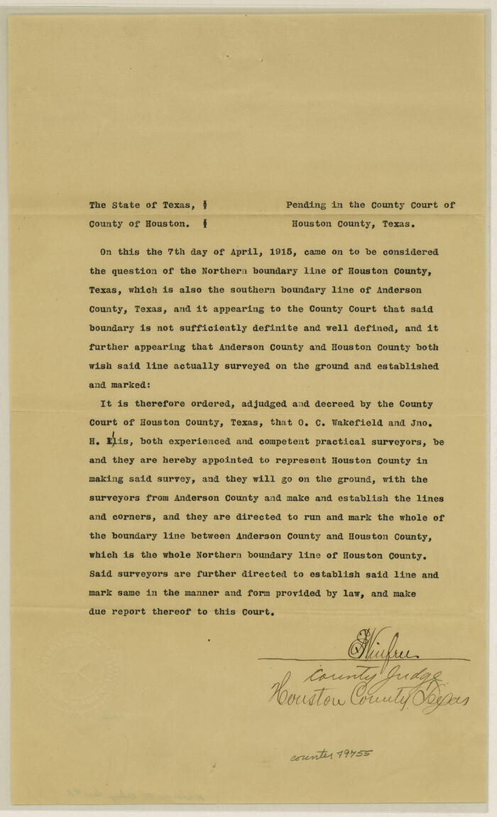

Print $8.00
- Digital $50.00
Anderson County Boundary File 8
Size: 14.5 x 8.8 inches
49755
Anderson County Boundary File 9
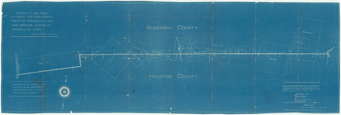

Print $40.00
- Digital $50.00
Anderson County Boundary File 9
Size: 19.7 x 58.3 inches
49758
Anderson County Boundary File 10
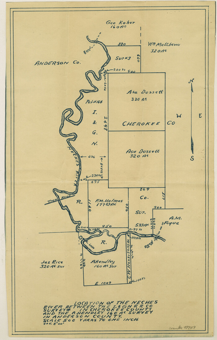

Print $13.00
- Digital $50.00
Anderson County Boundary File 10
Size: 16.0 x 10.2 inches
49759
Map of Red River Division of International & Great Northern Railroad


Print $40.00
- Digital $50.00
Map of Red River Division of International & Great Northern Railroad
Size: 23.5 x 103.4 inches
64475
Henderson County Working Sketch 1
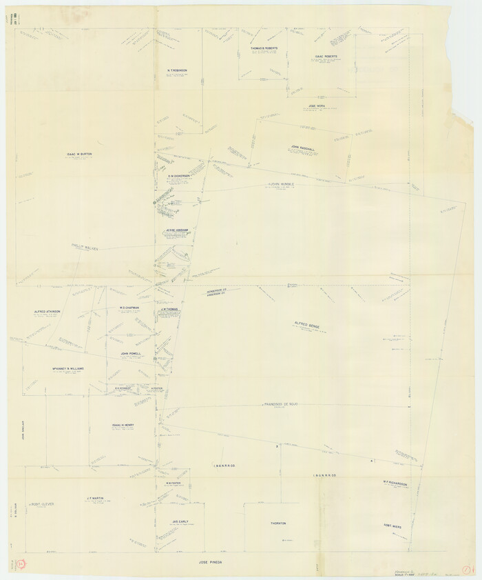

Print $40.00
- Digital $50.00
Henderson County Working Sketch 1
Size: 52.6 x 43.8 inches
66134
Anderson County Working Sketch 1
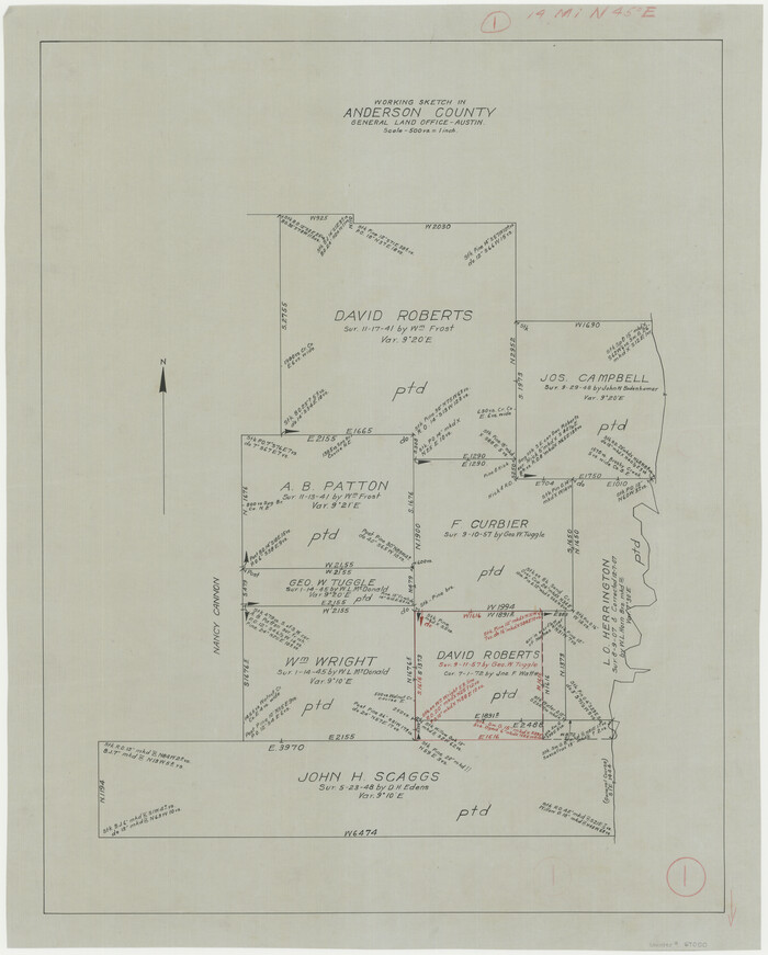

Print $20.00
- Digital $50.00
Anderson County Working Sketch 1
Size: 24.0 x 19.3 inches
67000
Anderson County Working Sketch 2
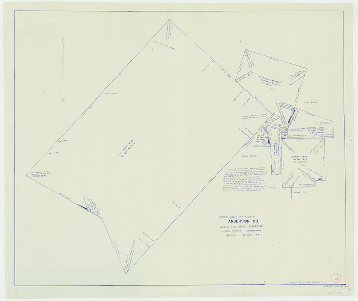

Print $20.00
- Digital $50.00
Anderson County Working Sketch 2
Size: 31.8 x 37.7 inches
67001
Anderson County Working Sketch 3


Print $20.00
- Digital $50.00
Anderson County Working Sketch 3
Size: 15.4 x 14.1 inches
67002
Anderson County Working Sketch 4
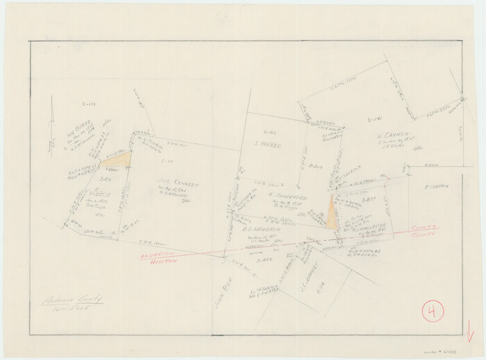

Print $20.00
- Digital $50.00
Anderson County Working Sketch 4
Size: 15.9 x 21.4 inches
67003
Anderson County Rolled Sketch 8
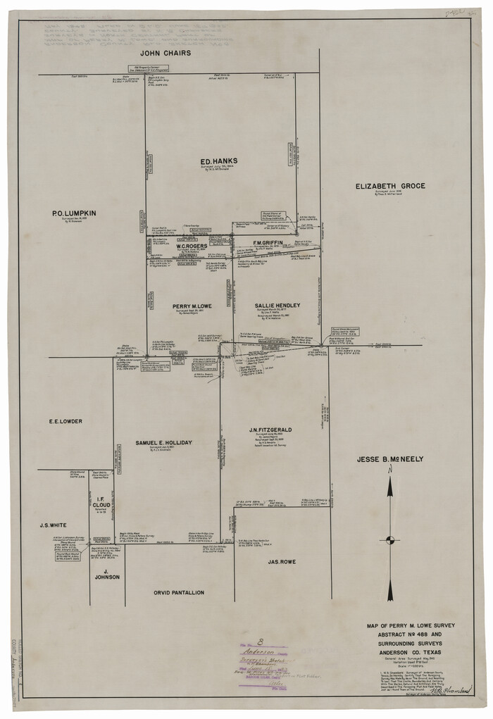

Print $20.00
- Digital $50.00
Anderson County Rolled Sketch 8
Size: 34.8 x 23.9 inches
77154
Anderson County Rolled Sketch 9


Print $20.00
- Digital $50.00
Anderson County Rolled Sketch 9
Size: 34.7 x 23.6 inches
77156
Anderson County Sketch File 19


Print $40.00
- Digital $50.00
Anderson County Sketch File 19
-
Size
18.2 x 15.9 inches
-
Map/Doc
10802
Anderson County Sketch File 4


Print $6.00
- Digital $50.00
Anderson County Sketch File 4
-
Size
8.7 x 6.4 inches
-
Map/Doc
12743
Anderson County Sketch File 6


Print $4.00
- Digital $50.00
Anderson County Sketch File 6
-
Size
12.5 x 8.2 inches
-
Map/Doc
12753
Anderson County Sketch File 7


Print $4.00
- Digital $50.00
Anderson County Sketch File 7
-
Size
7.9 x 10.0 inches
-
Map/Doc
12757
Anderson County Sketch File 9


Print $8.00
- Digital $50.00
Anderson County Sketch File 9
-
Size
12.5 x 8.2 inches
-
Map/Doc
12761
[Titles along the Trinity River]
![175, [Titles along the Trinity River], General Map Collection](https://historictexasmaps.com/wmedia_w700/maps/175.tif.jpg)
![175, [Titles along the Trinity River], General Map Collection](https://historictexasmaps.com/wmedia_w700/maps/175.tif.jpg)
Print $3.00
- Digital $50.00
[Titles along the Trinity River]
-
Size
10.6 x 15.8 inches
-
Map/Doc
175
Henderson County Sketch File 9


Print $8.00
- Digital $50.00
Henderson County Sketch File 9
-
Size
8.3 x 7.8 inches
-
Map/Doc
26343
Houston County Sketch File 13


Print $6.00
- Digital $50.00
Houston County Sketch File 13
-
Size
9.0 x 7.8 inches
-
Map/Doc
26775
Houston County Sketch File 25


Print $4.00
- Digital $50.00
Houston County Sketch File 25
-
Size
12.8 x 8.1 inches
-
Map/Doc
26798
Houston County Sketch File 38


Print $8.00
- Digital $50.00
Houston County Sketch File 38
-
Size
12.8 x 8.3 inches
-
Map/Doc
26821
Anderson County Boundary File Index


Print $2.00
- Digital $50.00
Anderson County Boundary File Index
-
Size
9.1 x 3.3 inches
-
Map/Doc
49725
Anderson County Boundary File 1


Print $10.00
- Digital $50.00
Anderson County Boundary File 1
-
Size
14.2 x 8.6 inches
-
Map/Doc
49726
Anderson County Boundary File 2


Print $8.00
- Digital $50.00
Anderson County Boundary File 2
-
Size
14.3 x 8.7 inches
-
Map/Doc
49730
Anderson County Boundary File 3


Print $9.00
- Digital $50.00
Anderson County Boundary File 3
-
Size
14.3 x 8.8 inches
-
Map/Doc
49733
Anderson County Boundary File 4


Print $10.00
- Digital $50.00
Anderson County Boundary File 4
-
Size
8.9 x 7.4 inches
-
Map/Doc
49737
Anderson County Boundary File 5


Print $10.00
- Digital $50.00
Anderson County Boundary File 5
-
Size
8.1 x 7.2 inches
-
Map/Doc
49742
Anderson County Boundary File 6


Print $9.00
- Digital $50.00
Anderson County Boundary File 6
-
Size
14.3 x 8.7 inches
-
Map/Doc
49747
Anderson County Boundary File 7


Print $10.00
- Digital $50.00
Anderson County Boundary File 7
-
Size
14.4 x 8.9 inches
-
Map/Doc
49751
Anderson County Boundary File 8


Print $8.00
- Digital $50.00
Anderson County Boundary File 8
-
Size
14.5 x 8.8 inches
-
Map/Doc
49755
Anderson County Boundary File 9


Print $40.00
- Digital $50.00
Anderson County Boundary File 9
-
Size
19.7 x 58.3 inches
-
Map/Doc
49758
Anderson County Boundary File 10


Print $13.00
- Digital $50.00
Anderson County Boundary File 10
-
Size
16.0 x 10.2 inches
-
Map/Doc
49759
Map of Red River Division of International & Great Northern Railroad


Print $40.00
- Digital $50.00
Map of Red River Division of International & Great Northern Railroad
-
Size
23.5 x 103.4 inches
-
Map/Doc
64475
Henderson County Working Sketch 1


Print $40.00
- Digital $50.00
Henderson County Working Sketch 1
-
Size
52.6 x 43.8 inches
-
Map/Doc
66134
Anderson County Working Sketch 1


Print $20.00
- Digital $50.00
Anderson County Working Sketch 1
-
Size
24.0 x 19.3 inches
-
Map/Doc
67000
Anderson County Working Sketch 2


Print $20.00
- Digital $50.00
Anderson County Working Sketch 2
-
Size
31.8 x 37.7 inches
-
Map/Doc
67001
Anderson County Working Sketch 3


Print $20.00
- Digital $50.00
Anderson County Working Sketch 3
-
Size
15.4 x 14.1 inches
-
Map/Doc
67002
Anderson County Working Sketch 4


Print $20.00
- Digital $50.00
Anderson County Working Sketch 4
-
Size
15.9 x 21.4 inches
-
Map/Doc
67003
Anderson County Rolled Sketch 8


Print $20.00
- Digital $50.00
Anderson County Rolled Sketch 8
-
Size
34.8 x 23.9 inches
-
Map/Doc
77154
Anderson County Rolled Sketch 9


Print $20.00
- Digital $50.00
Anderson County Rolled Sketch 9
-
Size
34.7 x 23.6 inches
-
Map/Doc
77156
