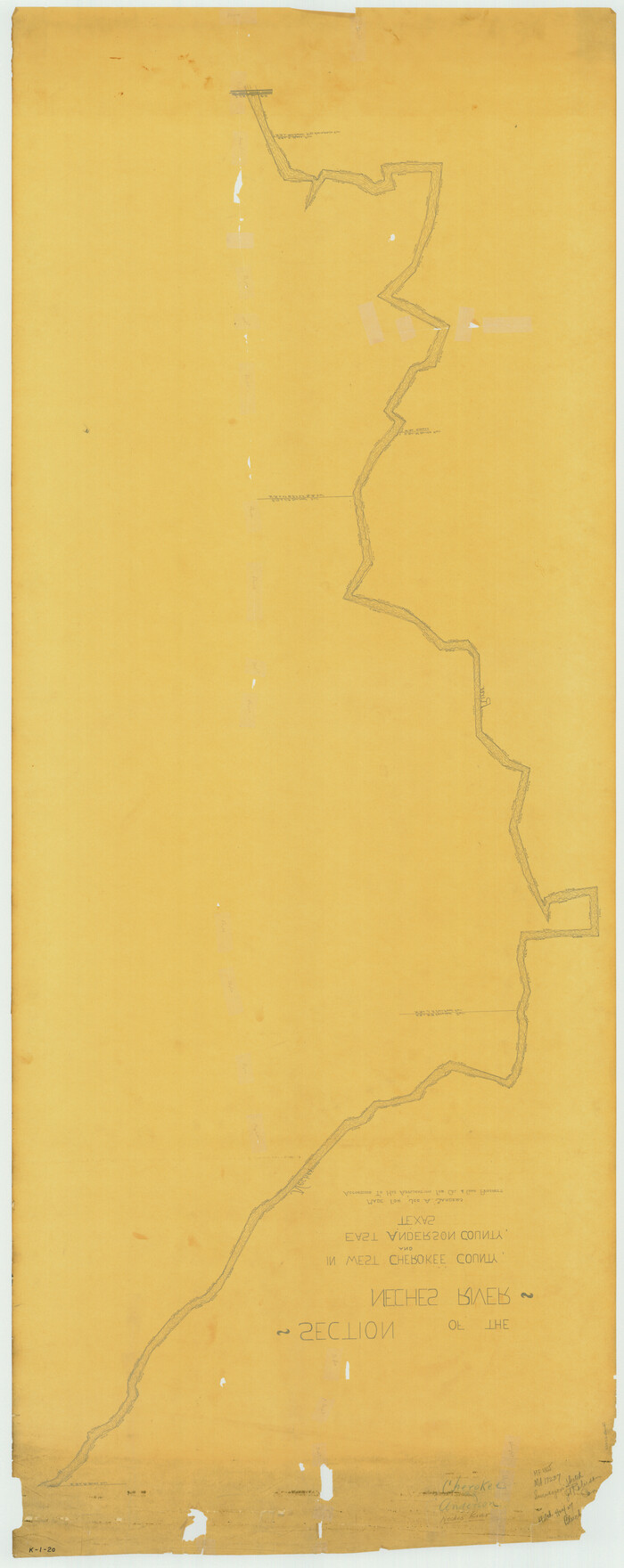
[Titles along the Trinity River]
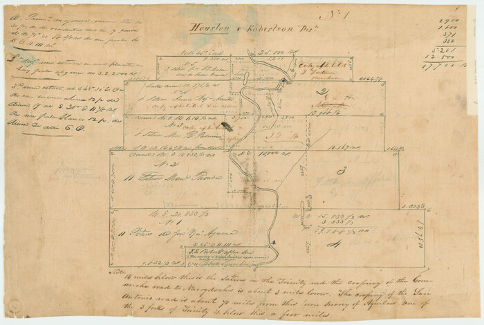
Print $3.00
- Digital $50.00
[Titles along the Trinity River]
Size: 10.6 x 15.8 inches
175
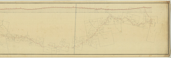
[Surveys on the Neches River]
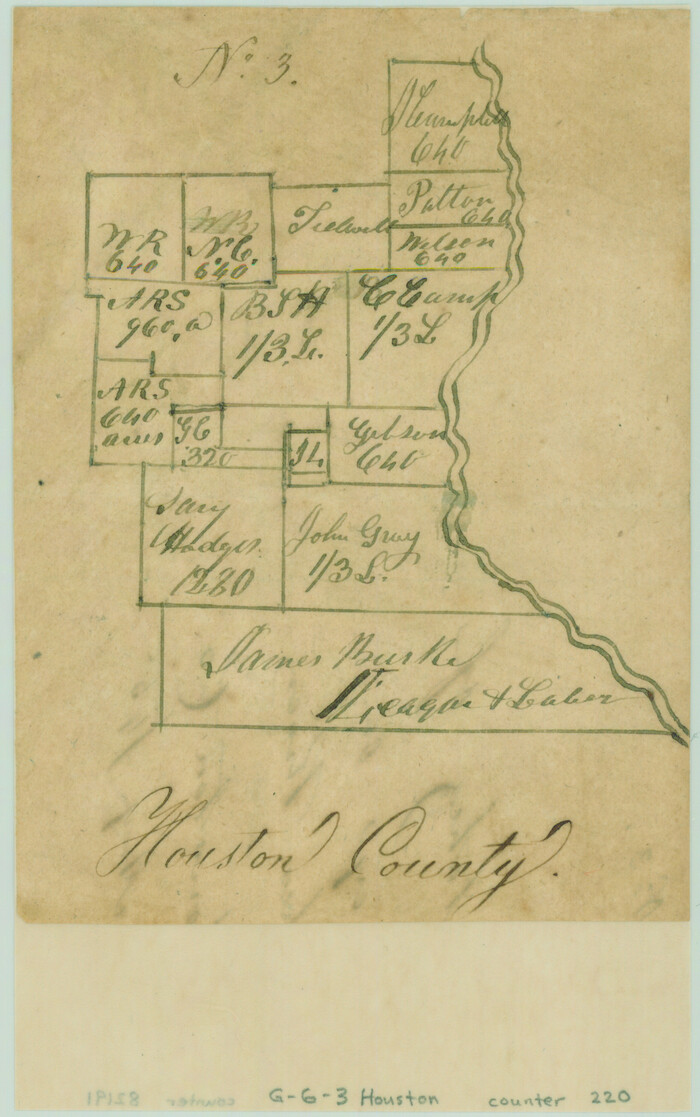
Print $2.00
- Digital $50.00
[Surveys on the Neches River]
1845
Size: 6.0 x 3.8 inches
220
[Sketch for Mineral Application 17237 / Mineral File 11855 - Neches River, Joe A. Sanders]
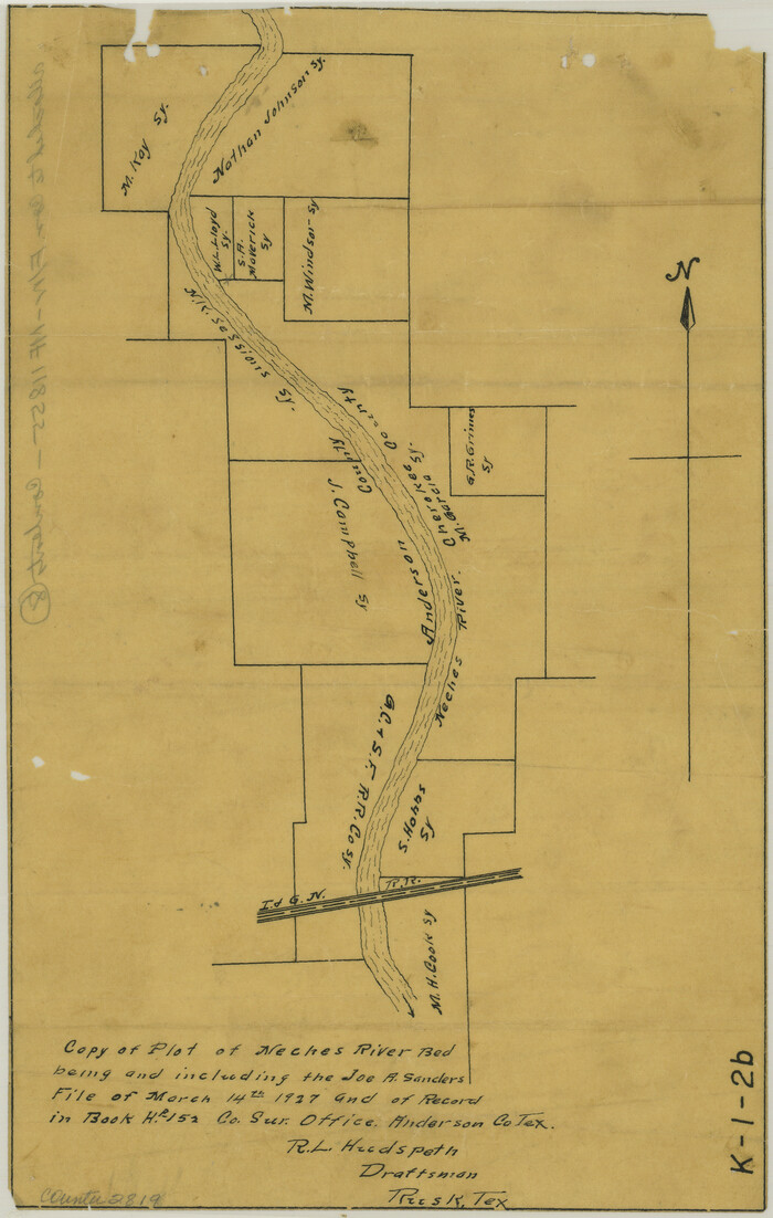
Print $2.00
- Digital $50.00
[Sketch for Mineral Application 17237 / Mineral File 11855 - Neches River, Joe A. Sanders]
1927
Size: 12.8 x 8.2 inches
2819
[Sketch for Mineral Application 17237 / Mineral File 11855 - Neches River, Joe A. Sanders]
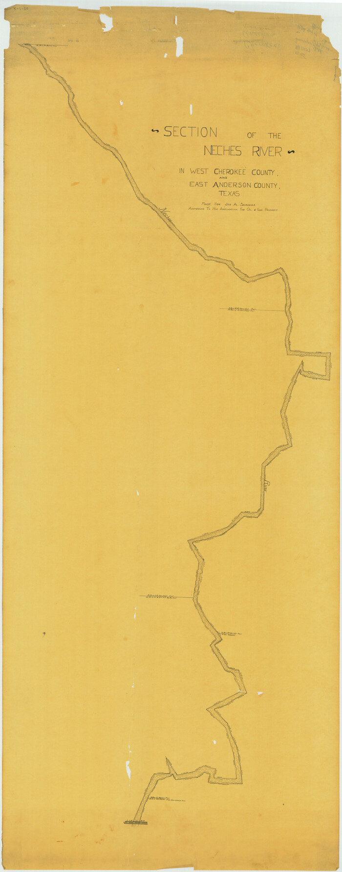
Print $40.00
- Digital $50.00
[Sketch for Mineral Application 17237 / Mineral File 11855 - Neches River, Joe A. Sanders]
1927
Size: 78.2 x 30.7 inches
65686
[Sketch for Mineral Application 17237 / Mineral File 11855 - Neches River, Joe A. Sanders]
Print $40.00
- Digital $50.00
[Sketch for Mineral Application 17237 / Mineral File 11855 - Neches River, Joe A. Sanders]
1927
Size: 78.5 x 31.2 inches
65687
[Map of the Houston and Great Northern R. R. from Trinity River to Palestine]
Print $40.00
- Digital $50.00
[Map of the Houston and Great Northern R. R. from Trinity River to Palestine]
1872
Size: 30.0 x 88.0 inches
64550
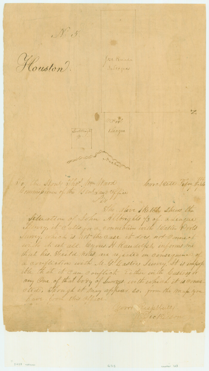
[Jose Pineda grant]
Print $2.00
- Digital $50.00
[Jose Pineda grant]
1846
Size: 13.6 x 7.7 inches
123
[Anderson County]
Print $20.00
- Digital $50.00
[Anderson County]
1848
Size: 26.0 x 19.9 inches
5051
West Part of Anderson County

Print $20.00
- Digital $50.00
West Part of Anderson County
1942
Size: 41.8 x 34.3 inches
77197
Trinity River, Wildcat Ferry Sheet

Print $20.00
- Digital $50.00
Trinity River, Wildcat Ferry Sheet
1928
Size: 41.5 x 40.9 inches
65182
Trinity River, Levee Improvement Districts Widths of Floodways

Print $6.00
- Digital $50.00
Trinity River, Levee Improvement Districts Widths of Floodways
1920
Size: 33.9 x 23.0 inches
65249
Trinity River, Levee Improvement Districts Widths of Floodways

Print $6.00
- Digital $50.00
Trinity River, Levee Improvement Districts Widths of Floodways
1920
Size: 33.3 x 21.7 inches
65251
Trinity River, Kimbrough Lake Sheet

Print $4.00
- Digital $50.00
Trinity River, Kimbrough Lake Sheet
1929
Size: 26.0 x 19.4 inches
65225
Trinity River, Cox Bluff Sheet

Print $20.00
- Digital $50.00
Trinity River, Cox Bluff Sheet
1926
Size: 36.0 x 46.2 inches
65214
Trinity River, Cooks Ferry Sheet

Print $40.00
- Digital $50.00
Trinity River, Cooks Ferry Sheet
1926
Size: 36.5 x 56.2 inches
65215
Sketch on Ioni Creek

Print $2.00
- Digital $50.00
Sketch on Ioni Creek
1846
Size: 9.1 x 6.4 inches
134
Right-of-Way and Track Map, Texas State Railroad operated by the T. and N. O. R.R. Co.

Print $40.00
- Digital $50.00
Right-of-Way and Track Map, Texas State Railroad operated by the T. and N. O. R.R. Co.
1917
Size: 24.4 x 55.8 inches
64174
Right-of-Way and Track Map, Texas State Railroad operated by the T. and N. O. R.R. Co.

Print $40.00
- Digital $50.00
Right-of-Way and Track Map, Texas State Railroad operated by the T. and N. O. R.R. Co.
1917
Size: 24.6 x 55.8 inches
64175
Right-of-Way and Track Map, Texas State Railroad operated by the T. and N. O. R.R. Co.

Print $40.00
- Digital $50.00
Right-of-Way and Track Map, Texas State Railroad operated by the T. and N. O. R.R. Co.
1917
Size: 24.3 x 55.7 inches
64176
Right-of-Way and Track Map, Texas State Railroad operated by the T. and N. O. R.R. Co.

Print $40.00
- Digital $50.00
Right-of-Way and Track Map, Texas State Railroad operated by the T. and N. O. R.R. Co.
1917
Size: 24.5 x 55.9 inches
64177
Right-of-Way and Track Map, Texas State Railroad operated by the T. and N. O. R.R. Co.

Print $40.00
- Digital $50.00
Right-of-Way and Track Map, Texas State Railroad operated by the T. and N. O. R.R. Co.
1918
Size: 24.5 x 56.1 inches
64178
Right of Way and Track Map, International & Gt. Northern Ry. Operated by the International & Gt. Northern Ry. Co., Gulf Division

Print $40.00
- Digital $50.00
Right of Way and Track Map, International & Gt. Northern Ry. Operated by the International & Gt. Northern Ry. Co., Gulf Division
1917
Size: 24.8 x 57.0 inches
64245
Neches River, Blackburn Bridge Sheet

Print $4.00
- Digital $50.00
Neches River, Blackburn Bridge Sheet
1938
Size: 27.6 x 20.5 inches
65083
Neches River, Blackburn Bridge Dam Site

Print $2.00
- Digital $50.00
Neches River, Blackburn Bridge Dam Site
1938
Size: 15.4 x 17.6 inches
65082
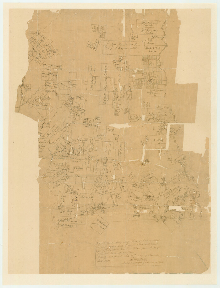
Map of the Northern Part of Houston District

Print $20.00
- Digital $50.00
Map of the Northern Part of Houston District
1849
Size: 26.4 x 26.7 inches
3223
Map of the Houston and Great Northern R.R. from Trinity River to Palestine

Print $40.00
- Digital $50.00
Map of the Houston and Great Northern R.R. from Trinity River to Palestine
1872
Size: 30.3 x 119.9 inches
64549
Map of Red River Division of International & Great Northern Railroad

Print $40.00
- Digital $50.00
Map of Red River Division of International & Great Northern Railroad
Size: 23.5 x 103.4 inches
64475
Map of Anderson County, Texas

Print $20.00
- Digital $50.00
Map of Anderson County, Texas
1879
Size: 18.5 x 21.7 inches
377
Map of Anderson County

Print $20.00
- Digital $50.00
Map of Anderson County
1855
Size: 23.7 x 28.9 inches
3225
[Titles along the Trinity River]
Print $3.00
- Digital $50.00
[Titles along the Trinity River]
-
Size
10.6 x 15.8 inches
-
Map/Doc
175
[Surveys on the Neches River]
Print $2.00
- Digital $50.00
[Surveys on the Neches River]
1845
-
Size
6.0 x 3.8 inches
-
Map/Doc
220
-
Creation Date
1845
[Sketch for Mineral Application 17237 / Mineral File 11855 - Neches River, Joe A. Sanders]
Print $2.00
- Digital $50.00
[Sketch for Mineral Application 17237 / Mineral File 11855 - Neches River, Joe A. Sanders]
1927
-
Size
12.8 x 8.2 inches
-
Map/Doc
2819
-
Creation Date
1927
[Sketch for Mineral Application 17237 / Mineral File 11855 - Neches River, Joe A. Sanders]
Print $40.00
- Digital $50.00
[Sketch for Mineral Application 17237 / Mineral File 11855 - Neches River, Joe A. Sanders]
1927
-
Size
78.2 x 30.7 inches
-
Map/Doc
65686
-
Creation Date
1927
[Sketch for Mineral Application 17237 / Mineral File 11855 - Neches River, Joe A. Sanders]
Print $40.00
- Digital $50.00
[Sketch for Mineral Application 17237 / Mineral File 11855 - Neches River, Joe A. Sanders]
1927
-
Size
78.5 x 31.2 inches
-
Map/Doc
65687
-
Creation Date
1927
[Map of the Houston and Great Northern R. R. from Trinity River to Palestine]
Print $40.00
- Digital $50.00
[Map of the Houston and Great Northern R. R. from Trinity River to Palestine]
1872
-
Size
30.0 x 88.0 inches
-
Map/Doc
64550
-
Creation Date
1872
[Jose Pineda grant]
Print $2.00
- Digital $50.00
[Jose Pineda grant]
1846
-
Size
13.6 x 7.7 inches
-
Map/Doc
123
-
Creation Date
1846
[Anderson County]
Print $20.00
- Digital $50.00
[Anderson County]
1848
-
Size
26.0 x 19.9 inches
-
Map/Doc
5051
-
Creation Date
1848
West Part of Anderson County
Print $20.00
- Digital $50.00
West Part of Anderson County
1942
-
Size
41.8 x 34.3 inches
-
Map/Doc
77197
-
Creation Date
1942
Trinity River, Wildcat Ferry Sheet
Print $20.00
- Digital $50.00
Trinity River, Wildcat Ferry Sheet
1928
-
Size
41.5 x 40.9 inches
-
Map/Doc
65182
-
Creation Date
1928
Trinity River, Levee Improvement Districts Widths of Floodways
Print $6.00
- Digital $50.00
Trinity River, Levee Improvement Districts Widths of Floodways
1920
-
Size
33.9 x 23.0 inches
-
Map/Doc
65249
-
Creation Date
1920
Trinity River, Levee Improvement Districts Widths of Floodways
Print $6.00
- Digital $50.00
Trinity River, Levee Improvement Districts Widths of Floodways
1920
-
Size
33.3 x 21.7 inches
-
Map/Doc
65251
-
Creation Date
1920
Trinity River, Kimbrough Lake Sheet
Print $4.00
- Digital $50.00
Trinity River, Kimbrough Lake Sheet
1929
-
Size
26.0 x 19.4 inches
-
Map/Doc
65225
-
Creation Date
1929
Trinity River, Cox Bluff Sheet
Print $20.00
- Digital $50.00
Trinity River, Cox Bluff Sheet
1926
-
Size
36.0 x 46.2 inches
-
Map/Doc
65214
-
Creation Date
1926
Trinity River, Cooks Ferry Sheet
Print $40.00
- Digital $50.00
Trinity River, Cooks Ferry Sheet
1926
-
Size
36.5 x 56.2 inches
-
Map/Doc
65215
-
Creation Date
1926
Sketch on Ioni Creek
Print $2.00
- Digital $50.00
Sketch on Ioni Creek
1846
-
Size
9.1 x 6.4 inches
-
Map/Doc
134
-
Creation Date
1846
Right-of-Way and Track Map, Texas State Railroad operated by the T. and N. O. R.R. Co.
Print $40.00
- Digital $50.00
Right-of-Way and Track Map, Texas State Railroad operated by the T. and N. O. R.R. Co.
1917
-
Size
24.4 x 55.8 inches
-
Map/Doc
64174
-
Creation Date
1917
Right-of-Way and Track Map, Texas State Railroad operated by the T. and N. O. R.R. Co.
Print $40.00
- Digital $50.00
Right-of-Way and Track Map, Texas State Railroad operated by the T. and N. O. R.R. Co.
1917
-
Size
24.6 x 55.8 inches
-
Map/Doc
64175
-
Creation Date
1917
Right-of-Way and Track Map, Texas State Railroad operated by the T. and N. O. R.R. Co.
Print $40.00
- Digital $50.00
Right-of-Way and Track Map, Texas State Railroad operated by the T. and N. O. R.R. Co.
1917
-
Size
24.3 x 55.7 inches
-
Map/Doc
64176
-
Creation Date
1917
Right-of-Way and Track Map, Texas State Railroad operated by the T. and N. O. R.R. Co.
Print $40.00
- Digital $50.00
Right-of-Way and Track Map, Texas State Railroad operated by the T. and N. O. R.R. Co.
1917
-
Size
24.5 x 55.9 inches
-
Map/Doc
64177
-
Creation Date
1917
Right-of-Way and Track Map, Texas State Railroad operated by the T. and N. O. R.R. Co.
Print $40.00
- Digital $50.00
Right-of-Way and Track Map, Texas State Railroad operated by the T. and N. O. R.R. Co.
1918
-
Size
24.5 x 56.1 inches
-
Map/Doc
64178
-
Creation Date
1918
Right of Way and Track Map, International & Gt. Northern Ry. Operated by the International & Gt. Northern Ry. Co., Gulf Division
Print $40.00
- Digital $50.00
Right of Way and Track Map, International & Gt. Northern Ry. Operated by the International & Gt. Northern Ry. Co., Gulf Division
1917
-
Size
24.8 x 57.0 inches
-
Map/Doc
64245
-
Creation Date
1917
Palestine, Texas

Print $20.00
- Digital $50.00
Palestine, Texas
1942
-
Size
39.3 x 36.1 inches
-
Map/Doc
4834
-
Creation Date
1942
Neches River, Blackburn Bridge Sheet
Print $4.00
- Digital $50.00
Neches River, Blackburn Bridge Sheet
1938
-
Size
27.6 x 20.5 inches
-
Map/Doc
65083
-
Creation Date
1938
Neches River, Blackburn Bridge Dam Site
Print $2.00
- Digital $50.00
Neches River, Blackburn Bridge Dam Site
1938
-
Size
15.4 x 17.6 inches
-
Map/Doc
65082
-
Creation Date
1938
Map of the Northern Part of Houston District
Print $20.00
- Digital $50.00
Map of the Northern Part of Houston District
1849
-
Size
26.4 x 26.7 inches
-
Map/Doc
3223
-
Creation Date
1849
Map of the Houston and Great Northern R.R. from Trinity River to Palestine
Print $40.00
- Digital $50.00
Map of the Houston and Great Northern R.R. from Trinity River to Palestine
1872
-
Size
30.3 x 119.9 inches
-
Map/Doc
64549
-
Creation Date
1872
Map of Red River Division of International & Great Northern Railroad
Print $40.00
- Digital $50.00
Map of Red River Division of International & Great Northern Railroad
-
Size
23.5 x 103.4 inches
-
Map/Doc
64475
Map of Anderson County, Texas
Print $20.00
- Digital $50.00
Map of Anderson County, Texas
1879
-
Size
18.5 x 21.7 inches
-
Map/Doc
377
-
Creation Date
1879
Map of Anderson County
Print $20.00
- Digital $50.00
Map of Anderson County
1855
-
Size
23.7 x 28.9 inches
-
Map/Doc
3225
-
Creation Date
1855