[Surveys in the Milam District]
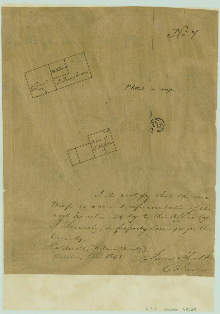
Print $2.00
- Digital $50.00
[Surveys in the Milam District]
1845
Size: 9.5 x 6.7 inches
69729
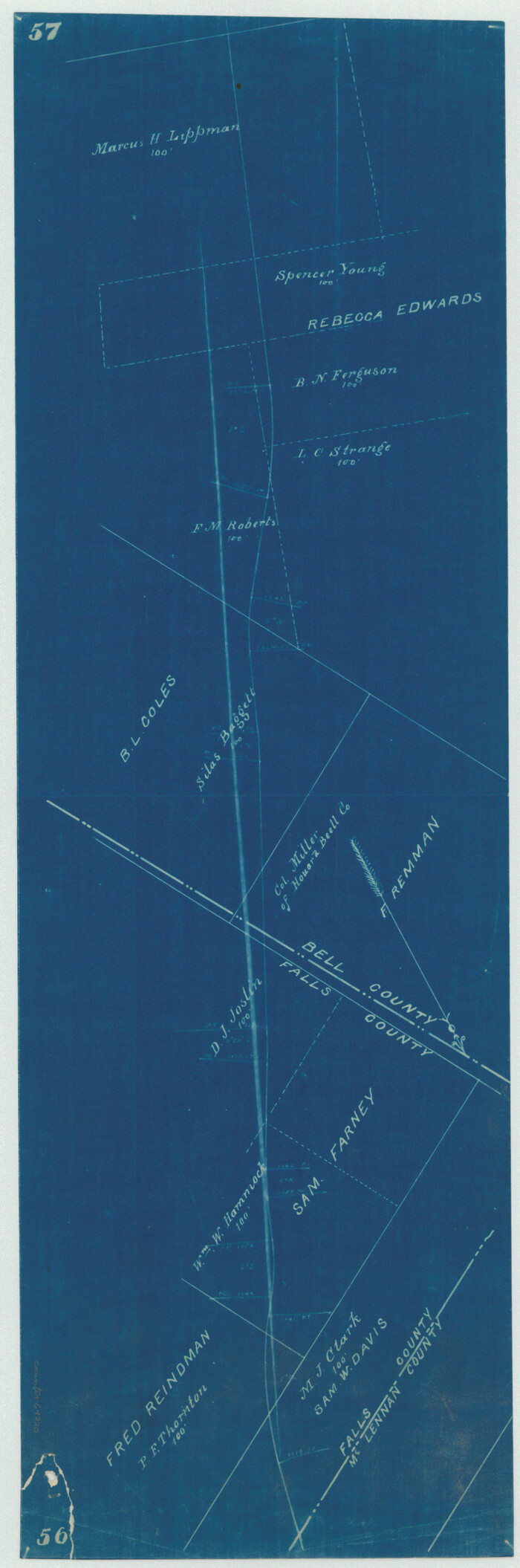
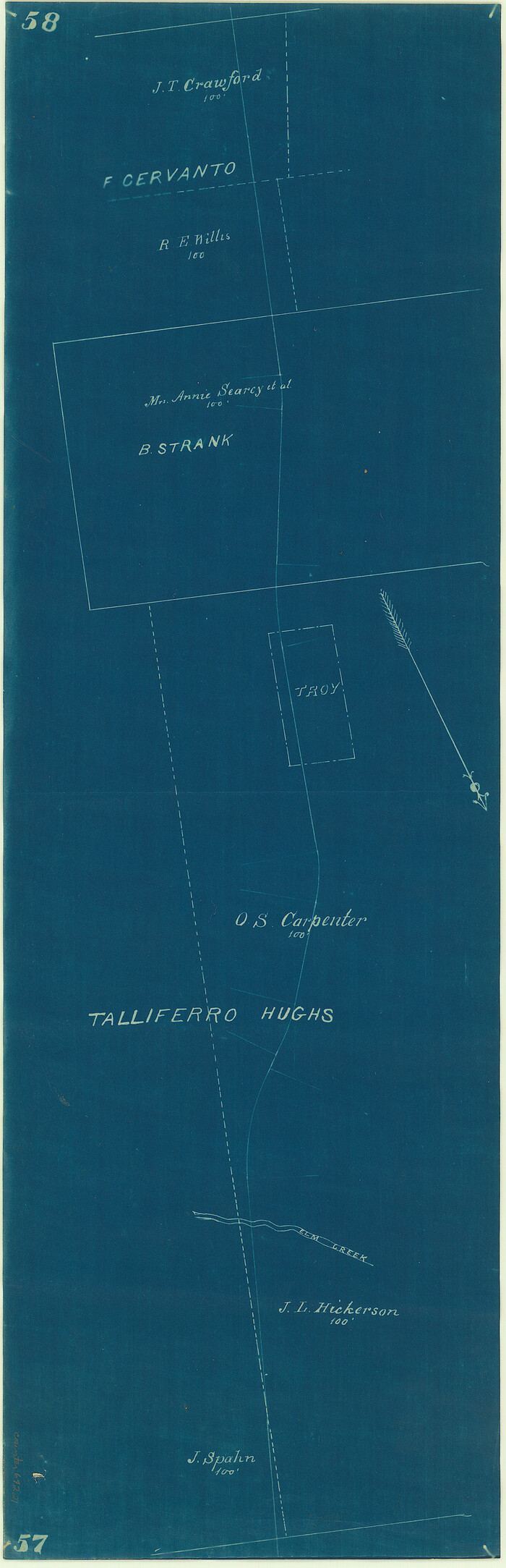
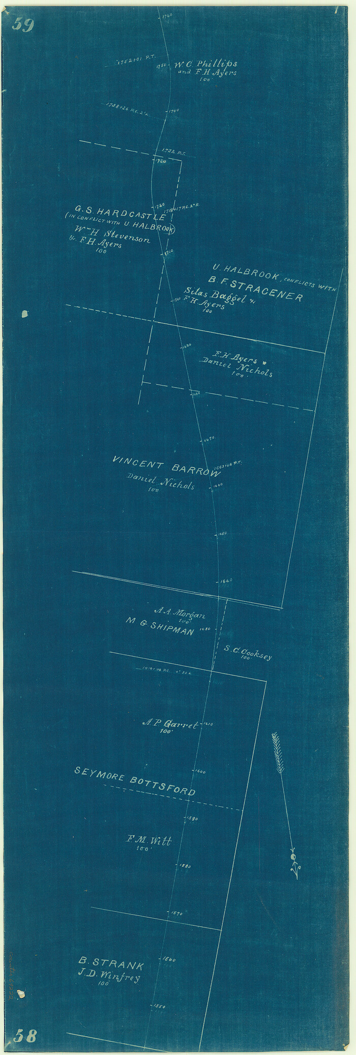
[Surveys in Mills, Hamilton, Coryell and Bell Counties]
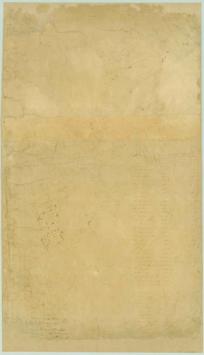
Print $20.00
- Digital $50.00
[Surveys in Mills, Hamilton, Coryell and Bell Counties]
Size: 33.9 x 19.5 inches
78362
[Surveys between the Little River and Darr's Creek]
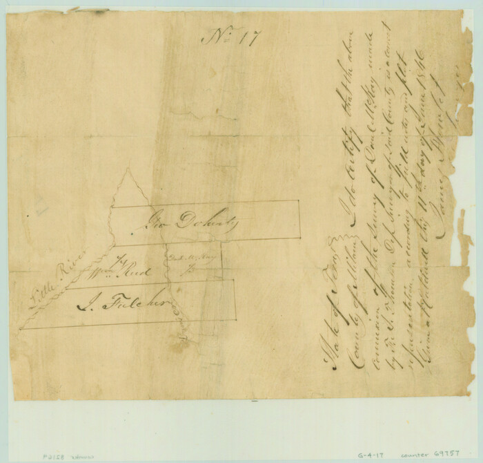
Print $2.00
- Digital $50.00
[Surveys between the Little River and Darr's Creek]
1846
Size: 7.6 x 7.9 inches
69757
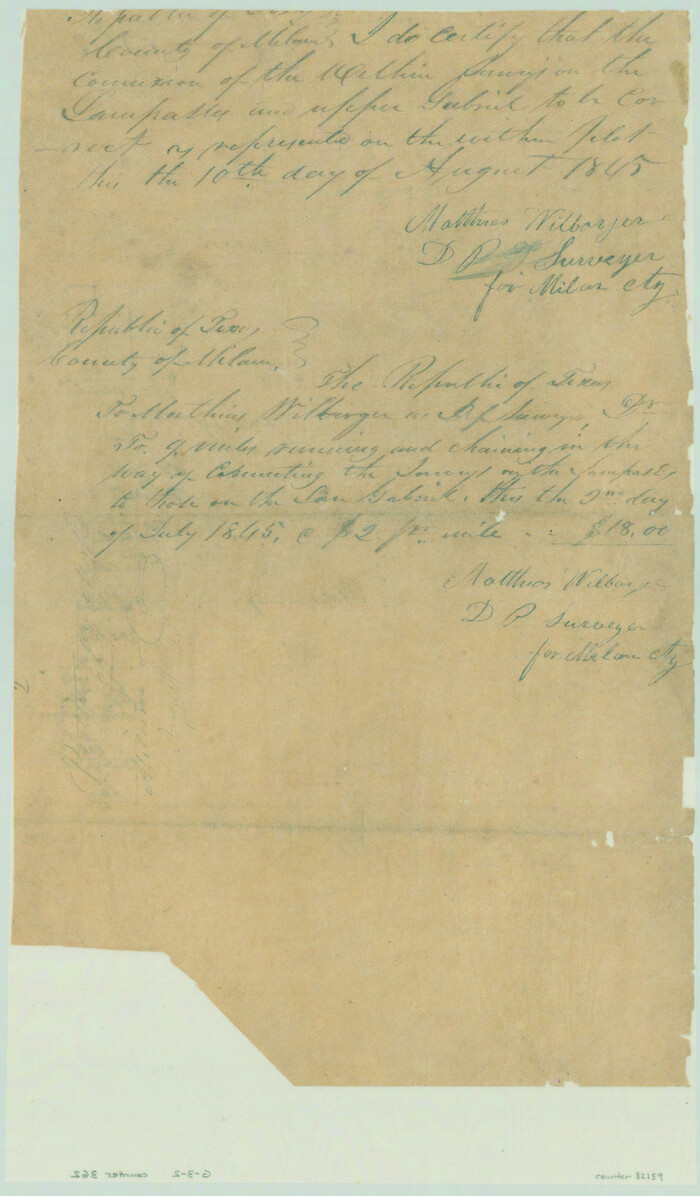
[Surveys along the Salado and Lampasas Rivers and Saltillo Creek]
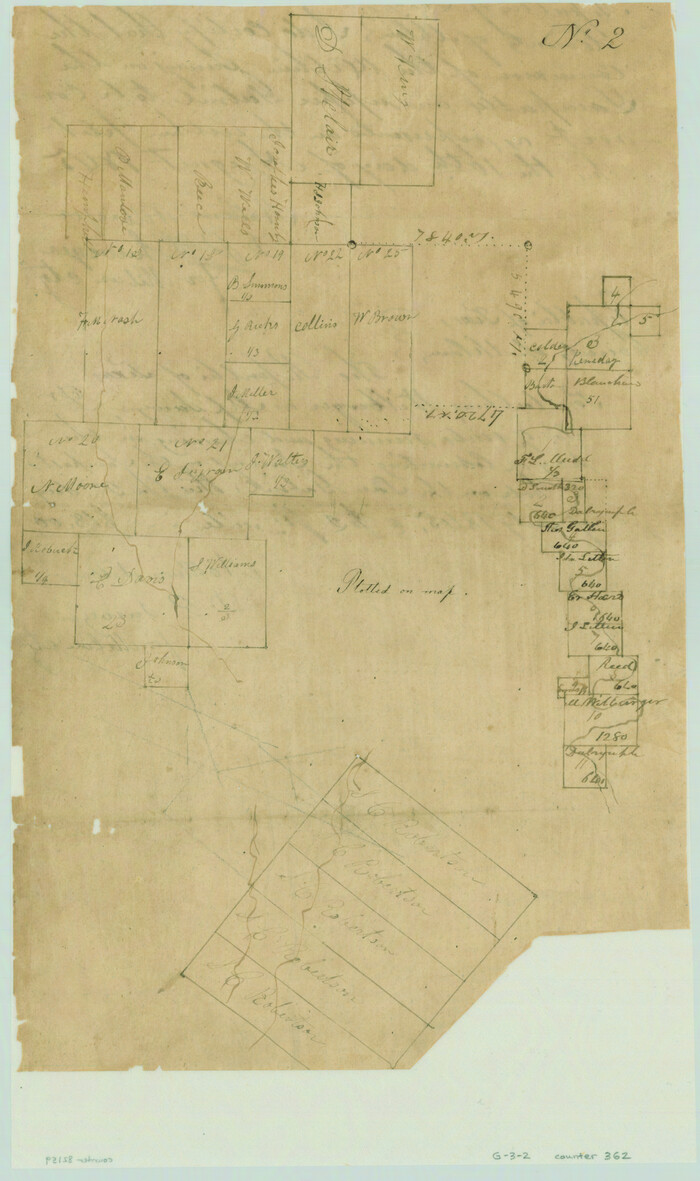
Print $2.00
- Digital $50.00
[Surveys along the Salado and Lampasas Rivers and Saltillo Creek]
1845
Size: 13.1 x 7.8 inches
362
[Surveys along the Salado and Lampasas Rivers and Saltillo Creek]
Print $2.00
- Digital $50.00
[Surveys along the Salado and Lampasas Rivers and Saltillo Creek]
1845
Size: 13.1 x 7.7 inches
82159
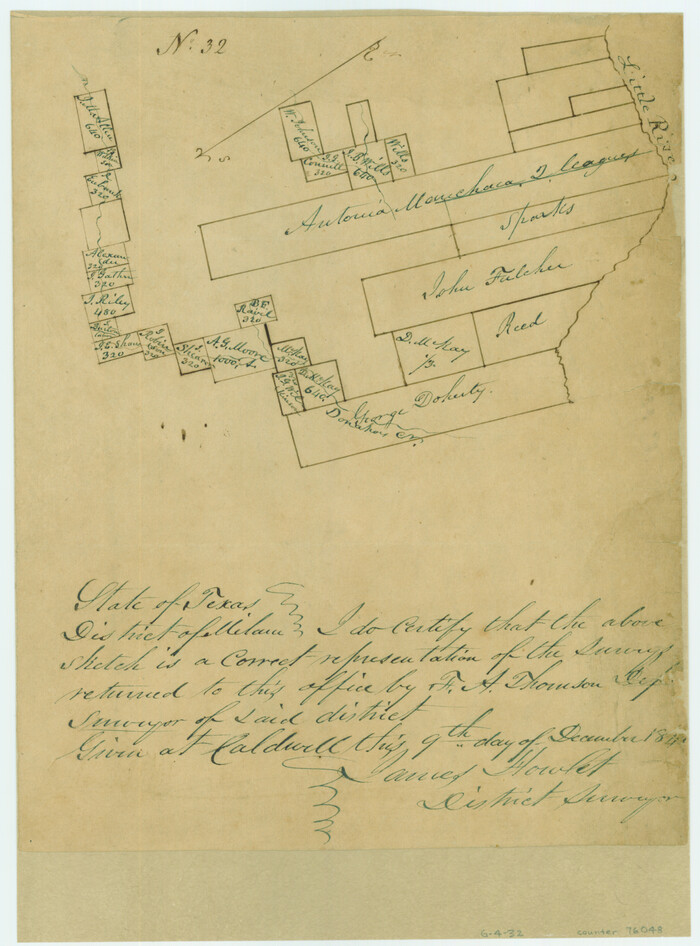
[Surveys along the Little River]
Print $2.00
- Digital $50.00
[Surveys along the Little River]
1846
Size: 10.6 x 7.8 inches
76048
[Surveys along Cow and Deer Creeks]

Print $2.00
- Digital $50.00
[Surveys along Cow and Deer Creeks]
1845
Size: 15.8 x 8.6 inches
306
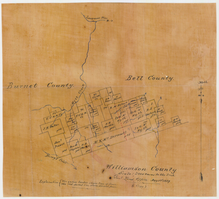
[Surveying sketch of M.K. McDermott, T. C. R.R. Co., I. & G. N. Ry. Co., et al in Williamson County]
Print $3.00
- Digital $50.00
[Surveying sketch of M.K. McDermott, T. C. R.R. Co., I. & G. N. Ry. Co., et al in Williamson County]
1889
Size: 11.5 x 12.6 inches
407
[Sketch of Col. Cooke's Military Road expedition from Red River to Austin]
Print $20.00
- Digital $50.00
[Sketch of Col. Cooke's Military Road expedition from Red River to Austin]
Size: 33.4 x 23.4 inches
82146
[Sketch from Burnet Co. to Baylor Co. tying center of counties to county site]
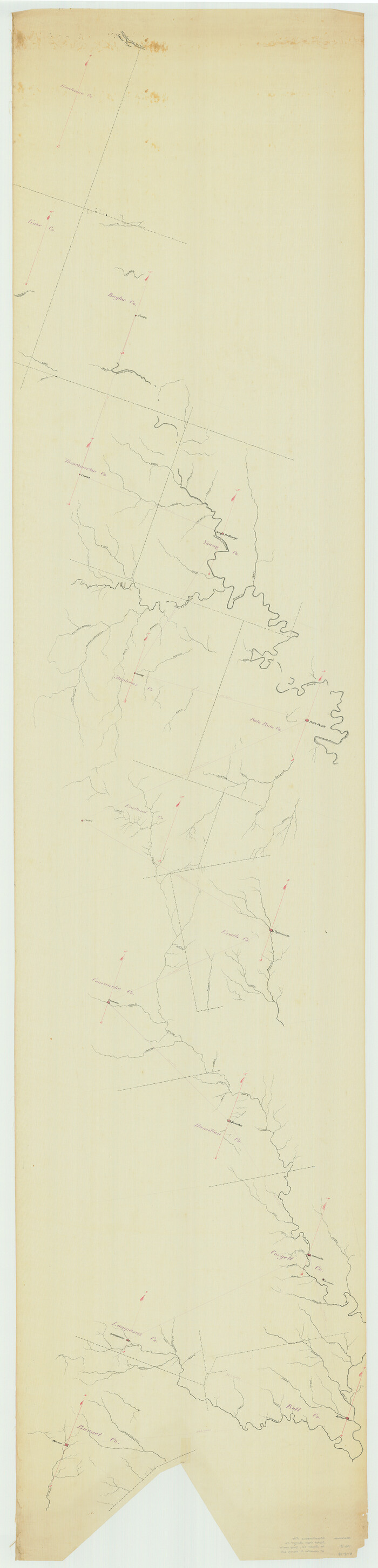
Print $40.00
- Digital $50.00
[Sketch from Burnet Co. to Baylor Co. tying center of counties to county site]
1900
Size: 132.6 x 31.9 inches
1699
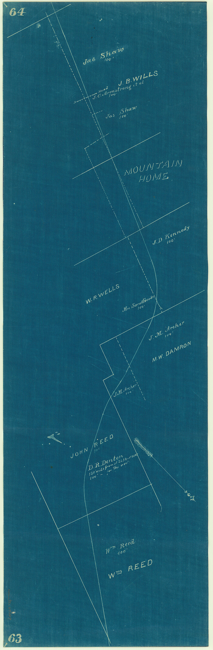
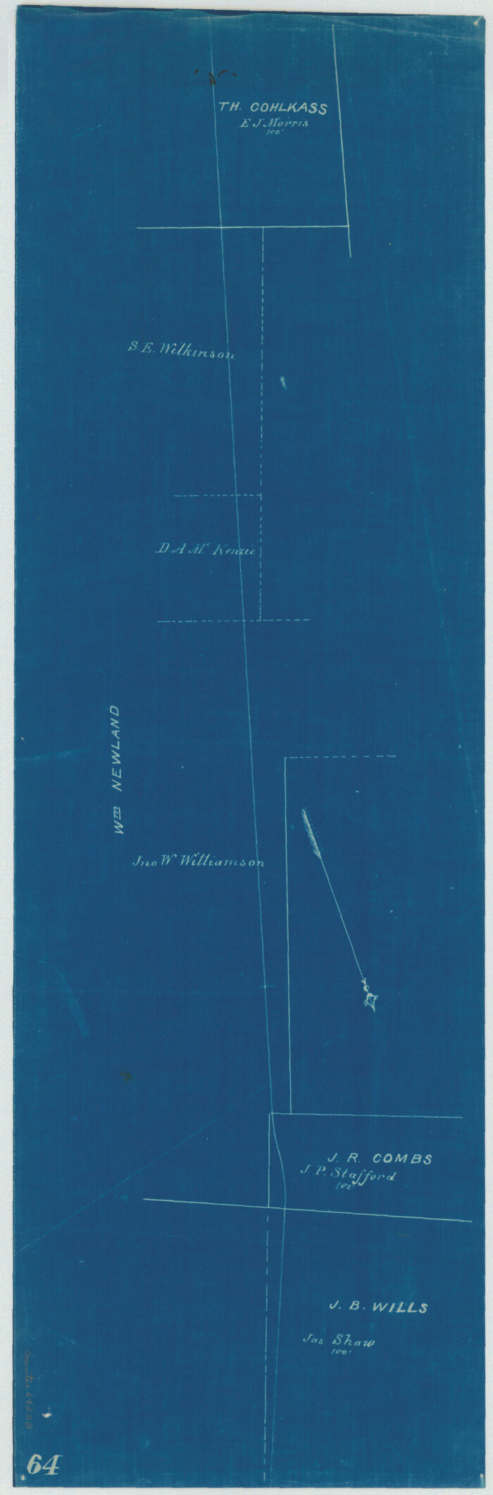
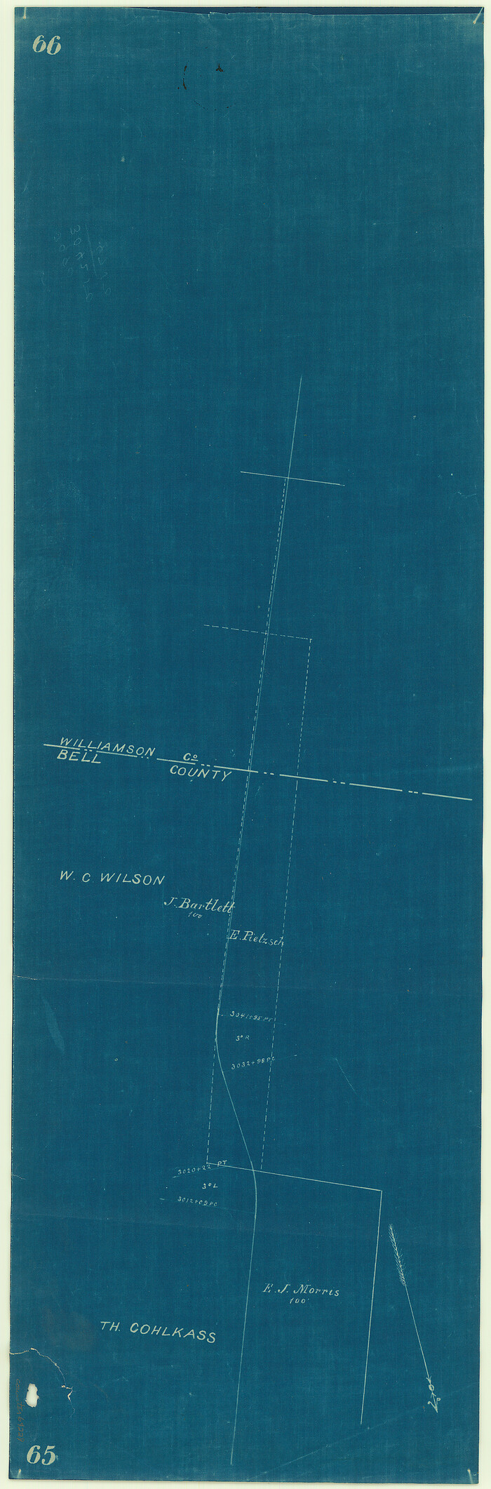
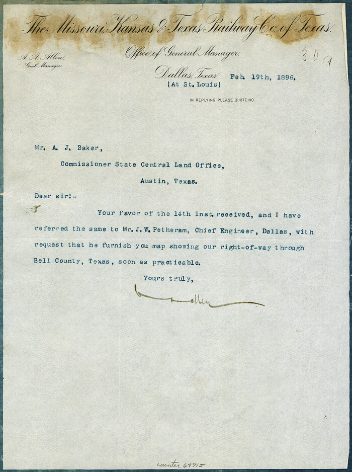
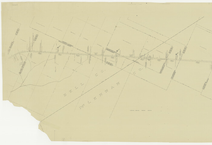
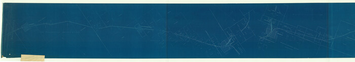
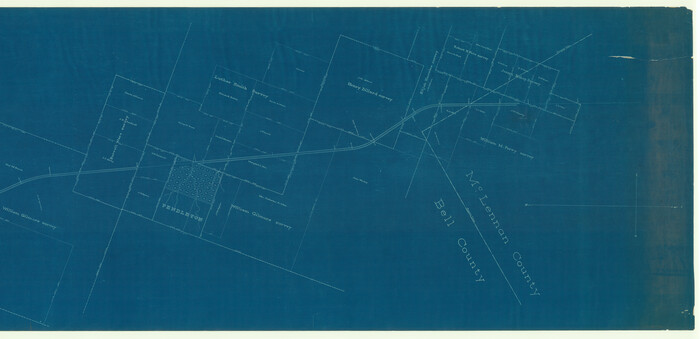
[Right of Way Map, Belton Branch of the M.K.&T. RR.]
Print $20.00
- Digital $50.00
[Right of Way Map, Belton Branch of the M.K.&T. RR.]
1896
Size: 22.2 x 7.4 inches
64220
[Right of Way Map, Belton Branch of the M.K.&T. RR.]
Print $20.00
- Digital $50.00
[Right of Way Map, Belton Branch of the M.K.&T. RR.]
1896
Size: 22.0 x 7.1 inches
64221
[Right of Way Map, Belton Branch of the M.K.&T. RR.]
Print $20.00
- Digital $50.00
[Right of Way Map, Belton Branch of the M.K.&T. RR.]
1896
Size: 21.9 x 7.4 inches
64222
[Right of Way Map, Belton Branch of the M.K.&T. RR.]
Print $20.00
- Digital $50.00
[Right of Way Map, Belton Branch of the M.K.&T. RR.]
1896
Size: 21.7 x 7.2 inches
64223
[Right of Way Map, Belton Branch of the M.K.&T. RR.]
Print $20.00
- Digital $50.00
[Right of Way Map, Belton Branch of the M.K.&T. RR.]
1896
Size: 7.1 x 20.6 inches
64224
[Right of Way Map, Belton Branch of the M.K.&T. RR.]
Print $20.00
- Digital $50.00
[Right of Way Map, Belton Branch of the M.K.&T. RR.]
1896
Size: 7.2 x 21.6 inches
64225
[Right of Way Map, Belton Branch of the M.K.&T. RR.]
Print $20.00
- Digital $50.00
[Right of Way Map, Belton Branch of the M.K.&T. RR.]
1896
Size: 7.2 x 21.9 inches
64226
[Right of Way Map, Belton Branch of the M.K.&T. RR.]
Print $20.00
- Digital $50.00
[Right of Way Map, Belton Branch of the M.K.&T. RR.]
1896
Size: 22.0 x 7.2 inches
64227
[Right of Way Map, Belton Branch of the M.K.&T. RR.]
Print $20.00
- Digital $50.00
[Right of Way Map, Belton Branch of the M.K.&T. RR.]
1896
Size: 22.1 x 7.3 inches
64228
[Right of Way Map, Belton Branch of the M.K.&T. RR.]
Print $20.00
- Digital $50.00
[Right of Way Map, Belton Branch of the M.K.&T. RR.]
1896
Size: 22.1 x 7.3 inches
64229
[Right of Way Map, Belton Branch of the M.K.&T. RR.]
Print $2.00
- Digital $50.00
[Right of Way Map, Belton Branch of the M.K.&T. RR.]
1896
Size: 11.1 x 8.3 inches
64715
[Gulf, Colorado & Santa Fe]
Print $20.00
- Digital $50.00
[Gulf, Colorado & Santa Fe]
Size: 32.4 x 47.4 inches
64577
[Gulf, Colorado & Santa Fe Railway Company]
Print $40.00
- Digital $50.00
[Gulf, Colorado & Santa Fe Railway Company]
1893
Size: 21.5 x 121.2 inches
64410
[Gulf, Colorado & Santa Fe Railway Company]
Print $20.00
- Digital $50.00
[Gulf, Colorado & Santa Fe Railway Company]
1893
Size: 20.1 x 41.5 inches
64411
Williamson County Sketch File 9

Print $20.00
- Digital $50.00
Williamson County Sketch File 9
1850
Size: 17.4 x 21.6 inches
12692
Williamson County Sketch File 13

Print $5.00
- Digital $50.00
Williamson County Sketch File 13
Size: 9.3 x 14.3 inches
40328
Williamson County Sketch File 10

Print $22.00
- Digital $50.00
Williamson County Sketch File 10
1858
Size: 12.2 x 17.1 inches
40322
Water-Shed of the Brazos River

Print $40.00
- Digital $50.00
Water-Shed of the Brazos River
1925
Size: 35.0 x 88.0 inches
65263
[Surveys in the Milam District]
Print $2.00
- Digital $50.00
[Surveys in the Milam District]
1845
-
Size
9.5 x 6.7 inches
-
Map/Doc
69729
-
Creation Date
1845
[Surveys in Mills, Hamilton, Coryell and Bell Counties]
Print $20.00
- Digital $50.00
[Surveys in Mills, Hamilton, Coryell and Bell Counties]
-
Size
33.9 x 19.5 inches
-
Map/Doc
78362
[Surveys between the Little River and Darr's Creek]
Print $2.00
- Digital $50.00
[Surveys between the Little River and Darr's Creek]
1846
-
Size
7.6 x 7.9 inches
-
Map/Doc
69757
-
Creation Date
1846
[Surveys along the Salado and Lampasas Rivers and Saltillo Creek]
Print $2.00
- Digital $50.00
[Surveys along the Salado and Lampasas Rivers and Saltillo Creek]
1845
-
Size
13.1 x 7.8 inches
-
Map/Doc
362
-
Creation Date
1845
[Surveys along the Salado and Lampasas Rivers and Saltillo Creek]
Print $2.00
- Digital $50.00
[Surveys along the Salado and Lampasas Rivers and Saltillo Creek]
1845
-
Size
13.1 x 7.7 inches
-
Map/Doc
82159
-
Creation Date
1845
[Surveys along the Little River]
Print $2.00
- Digital $50.00
[Surveys along the Little River]
1846
-
Size
10.6 x 7.8 inches
-
Map/Doc
76048
-
Creation Date
1846
[Surveys along Cow and Deer Creeks]
Print $2.00
- Digital $50.00
[Surveys along Cow and Deer Creeks]
1845
-
Size
15.8 x 8.6 inches
-
Map/Doc
306
-
Creation Date
1845
[Surveying sketch of M.K. McDermott, T. C. R.R. Co., I. & G. N. Ry. Co., et al in Williamson County]
Print $3.00
- Digital $50.00
[Surveying sketch of M.K. McDermott, T. C. R.R. Co., I. & G. N. Ry. Co., et al in Williamson County]
1889
-
Size
11.5 x 12.6 inches
-
Map/Doc
407
-
Creation Date
1889
[Sketch of Col. Cooke's Military Road expedition from Red River to Austin]
Print $20.00
- Digital $50.00
[Sketch of Col. Cooke's Military Road expedition from Red River to Austin]
-
Size
33.4 x 23.4 inches
-
Map/Doc
82146
[Sketch from Burnet Co. to Baylor Co. tying center of counties to county site]
Print $40.00
- Digital $50.00
[Sketch from Burnet Co. to Baylor Co. tying center of counties to county site]
1900
-
Size
132.6 x 31.9 inches
-
Map/Doc
1699
-
Creation Date
1900
[Right of Way Map, Belton Branch of the M.K.&T. RR.]
Print $20.00
- Digital $50.00
[Right of Way Map, Belton Branch of the M.K.&T. RR.]
1896
-
Size
22.2 x 7.4 inches
-
Map/Doc
64220
-
Creation Date
1896
[Right of Way Map, Belton Branch of the M.K.&T. RR.]
Print $20.00
- Digital $50.00
[Right of Way Map, Belton Branch of the M.K.&T. RR.]
1896
-
Size
22.0 x 7.1 inches
-
Map/Doc
64221
-
Creation Date
1896
[Right of Way Map, Belton Branch of the M.K.&T. RR.]
Print $20.00
- Digital $50.00
[Right of Way Map, Belton Branch of the M.K.&T. RR.]
1896
-
Size
21.9 x 7.4 inches
-
Map/Doc
64222
-
Creation Date
1896
[Right of Way Map, Belton Branch of the M.K.&T. RR.]
Print $20.00
- Digital $50.00
[Right of Way Map, Belton Branch of the M.K.&T. RR.]
1896
-
Size
21.7 x 7.2 inches
-
Map/Doc
64223
-
Creation Date
1896
[Right of Way Map, Belton Branch of the M.K.&T. RR.]
Print $20.00
- Digital $50.00
[Right of Way Map, Belton Branch of the M.K.&T. RR.]
1896
-
Size
7.1 x 20.6 inches
-
Map/Doc
64224
-
Creation Date
1896
[Right of Way Map, Belton Branch of the M.K.&T. RR.]
Print $20.00
- Digital $50.00
[Right of Way Map, Belton Branch of the M.K.&T. RR.]
1896
-
Size
7.2 x 21.6 inches
-
Map/Doc
64225
-
Creation Date
1896
[Right of Way Map, Belton Branch of the M.K.&T. RR.]
Print $20.00
- Digital $50.00
[Right of Way Map, Belton Branch of the M.K.&T. RR.]
1896
-
Size
7.2 x 21.9 inches
-
Map/Doc
64226
-
Creation Date
1896
[Right of Way Map, Belton Branch of the M.K.&T. RR.]
Print $20.00
- Digital $50.00
[Right of Way Map, Belton Branch of the M.K.&T. RR.]
1896
-
Size
22.0 x 7.2 inches
-
Map/Doc
64227
-
Creation Date
1896
[Right of Way Map, Belton Branch of the M.K.&T. RR.]
Print $20.00
- Digital $50.00
[Right of Way Map, Belton Branch of the M.K.&T. RR.]
1896
-
Size
22.1 x 7.3 inches
-
Map/Doc
64228
-
Creation Date
1896
[Right of Way Map, Belton Branch of the M.K.&T. RR.]
Print $20.00
- Digital $50.00
[Right of Way Map, Belton Branch of the M.K.&T. RR.]
1896
-
Size
22.1 x 7.3 inches
-
Map/Doc
64229
-
Creation Date
1896
[Right of Way Map, Belton Branch of the M.K.&T. RR.]
Print $2.00
- Digital $50.00
[Right of Way Map, Belton Branch of the M.K.&T. RR.]
1896
-
Size
11.1 x 8.3 inches
-
Map/Doc
64715
-
Creation Date
1896
[Gulf, Colorado & Santa Fe]
Print $20.00
- Digital $50.00
[Gulf, Colorado & Santa Fe]
-
Size
32.4 x 47.4 inches
-
Map/Doc
64577
[Gulf, Colorado & Santa Fe Railway Company]
Print $40.00
- Digital $50.00
[Gulf, Colorado & Santa Fe Railway Company]
1893
-
Size
21.5 x 121.2 inches
-
Map/Doc
64410
-
Creation Date
1893
[Gulf, Colorado & Santa Fe Railway Company]
Print $20.00
- Digital $50.00
[Gulf, Colorado & Santa Fe Railway Company]
1893
-
Size
20.1 x 41.5 inches
-
Map/Doc
64411
-
Creation Date
1893
[Bell County]
![3295, [Bell County], General Map Collection](https://historictexasmaps.com/wmedia_w700/maps/3295-1.tif.jpg)
Print $20.00
- Digital $50.00
[Bell County]
1867
-
Size
21.7 x 26.7 inches
-
Map/Doc
3295
-
Creation Date
1867
Williamson County Sketch File 9
Print $20.00
- Digital $50.00
Williamson County Sketch File 9
1850
-
Size
17.4 x 21.6 inches
-
Map/Doc
12692
-
Creation Date
1850
Williamson County Sketch File 13
Print $5.00
- Digital $50.00
Williamson County Sketch File 13
-
Size
9.3 x 14.3 inches
-
Map/Doc
40328
Williamson County Sketch File 10
Print $22.00
- Digital $50.00
Williamson County Sketch File 10
1858
-
Size
12.2 x 17.1 inches
-
Map/Doc
40322
-
Creation Date
1858
Water-Shed of the Brazos River
Print $40.00
- Digital $50.00
Water-Shed of the Brazos River
1925
-
Size
35.0 x 88.0 inches
-
Map/Doc
65263
-
Creation Date
1925
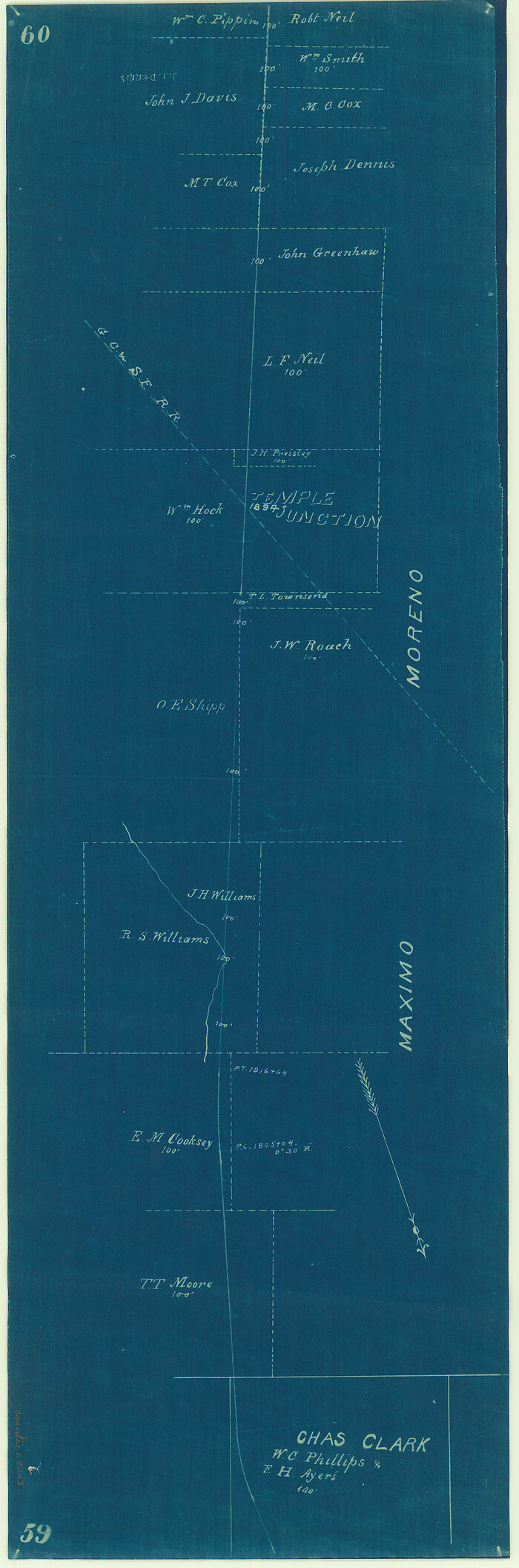
Temple, Bell Co.

Print $20.00
Temple, Bell Co.
1880
-
Size
21.4 x 17.5 inches
-
Map/Doc
79329
-
Creation Date
1880