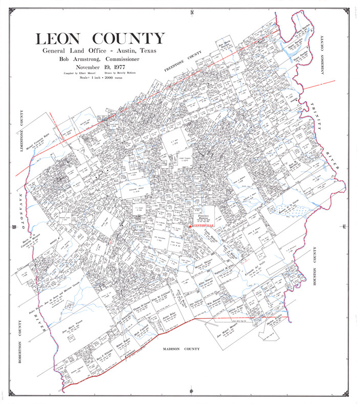
[Surveys along the Little River]
Atlas G, Page 4, Sketch 32 (G-4-32)
G-4-32
-
Map/Doc
76048
-
Collection
General Map Collection
-
Object Dates
1846 (Creation Date)
-
People and Organizations
F.A. Thomson (Surveyor/Engineer)
-
Counties
Bell
-
Subjects
Atlas
-
Height x Width
10.6 x 7.8 inches
26.9 x 19.8 cm
-
Medium
paper, manuscript
-
Comments
Conserved in 2003.
-
Features
Little River
Donahoe's Creek
Part of: General Map Collection
Edwards County Working Sketch 6

Print $40.00
- Digital $50.00
Edwards County Working Sketch 6
1918
Size 32.8 x 79.6 inches
Map/Doc 68882
Crockett County Working Sketch 76

Print $20.00
- Digital $50.00
Crockett County Working Sketch 76
1964
Size 34.3 x 36.3 inches
Map/Doc 68409
Gregg County Rolled Sketch MHH

Print $203.00
- Digital $50.00
Gregg County Rolled Sketch MHH
1935
Size 10.5 x 15.5 inches
Map/Doc 45668
Brazoria County NRC Article 33.136 Sketch 3
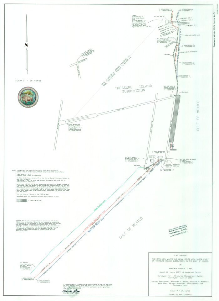

Print $20.00
- Digital $50.00
Brazoria County NRC Article 33.136 Sketch 3
2002
Size 40.6 x 29.6 inches
Map/Doc 77039
Port of Galveston


Print $40.00
- Digital $50.00
Port of Galveston
1978
Size 20.0 x 68.9 inches
Map/Doc 83336
Flight Mission No. DIX-10P, Frame 71, Aransas County

Print $20.00
- Digital $50.00
Flight Mission No. DIX-10P, Frame 71, Aransas County
1956
Size 18.6 x 22.3 inches
Map/Doc 83932
Maps of Gulf Intracoastal Waterway, Texas - Sabine River to the Rio Grande and connecting waterways including ship channels


Print $20.00
- Digital $50.00
Maps of Gulf Intracoastal Waterway, Texas - Sabine River to the Rio Grande and connecting waterways including ship channels
1966
Size 14.5 x 22.2 inches
Map/Doc 61972
Wichita County Sketch File 13

Print $22.00
- Digital $50.00
Wichita County Sketch File 13
Size 7.9 x 10.6 inches
Map/Doc 40082
Winkler County Rolled Sketch 15
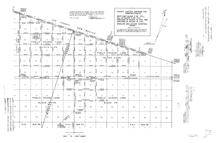

Print $20.00
- Digital $50.00
Winkler County Rolled Sketch 15
1968
Size 25.1 x 37.8 inches
Map/Doc 10305
Atascosa County Rolled Sketch 15
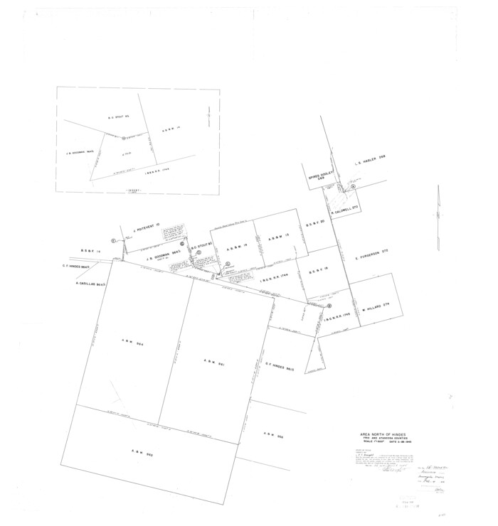

Print $20.00
- Digital $50.00
Atascosa County Rolled Sketch 15
1945
Size 45.2 x 42.7 inches
Map/Doc 8433
Freestone County Rolled Sketch 11


Print $20.00
- Digital $50.00
Freestone County Rolled Sketch 11
1934
Size 17.9 x 34.1 inches
Map/Doc 5911
Flight Mission No. BRA-7M, Frame 185, Jefferson County
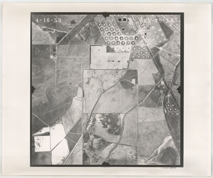

Print $20.00
- Digital $50.00
Flight Mission No. BRA-7M, Frame 185, Jefferson County
1953
Size 18.6 x 22.3 inches
Map/Doc 85553
You may also like
Jack County Boundary File 3


Print $10.00
- Digital $50.00
Jack County Boundary File 3
Size 9.2 x 4.0 inches
Map/Doc 55408
El Paso County Working Sketch Graphic Index - south part
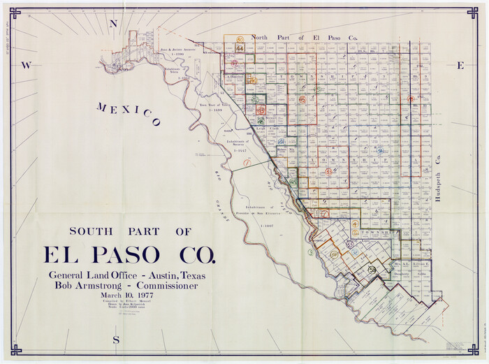

Print $20.00
- Digital $50.00
El Paso County Working Sketch Graphic Index - south part
1977
Size 33.4 x 44.9 inches
Map/Doc 76537
The Republic County of San Patricio. 1840


Print $20.00
The Republic County of San Patricio. 1840
2020
Size 22.2 x 21.7 inches
Map/Doc 96276
Flight Mission No. DAG-21K, Frame 29, Matagorda County


Print $20.00
- Digital $50.00
Flight Mission No. DAG-21K, Frame 29, Matagorda County
1952
Size 18.5 x 16.1 inches
Map/Doc 86396
Flight Mission No. CLL-1N, Frame 85, Willacy County

Print $20.00
- Digital $50.00
Flight Mission No. CLL-1N, Frame 85, Willacy County
1954
Size 18.4 x 22.1 inches
Map/Doc 87031
Kimble County Sketch File 39
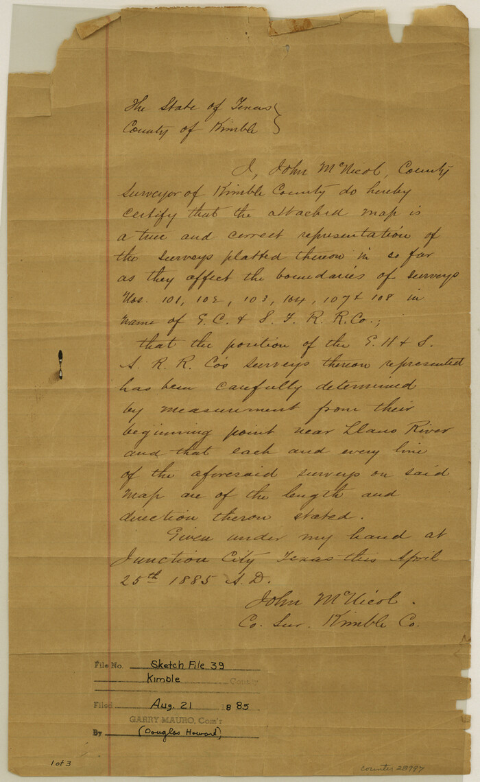

Print $12.00
- Digital $50.00
Kimble County Sketch File 39
1885
Size 14.1 x 8.6 inches
Map/Doc 28997
Pecos County Working Sketch 134
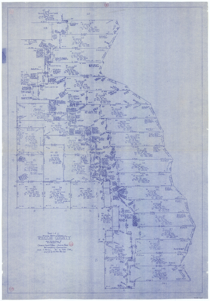

Print $40.00
- Digital $50.00
Pecos County Working Sketch 134
1979
Size 53.3 x 37.3 inches
Map/Doc 71608
Crane County Rolled Sketch 14


Print $46.00
- Digital $50.00
Crane County Rolled Sketch 14
1935
Size 37.1 x 31.6 inches
Map/Doc 8680
Harris County Rolled Sketch 64


Print $20.00
- Digital $50.00
Harris County Rolled Sketch 64
1936
Size 35.0 x 40.3 inches
Map/Doc 9123
Crosby County, Texas
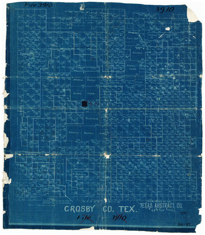

Print $20.00
- Digital $50.00
Crosby County, Texas
Size 17.6 x 19.8 inches
Map/Doc 90355
San Patricio County NRC Article 33.136 Location Key Sheet
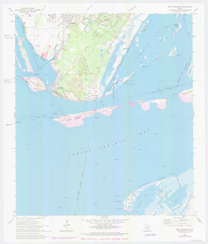

Print $20.00
- Digital $50.00
San Patricio County NRC Article 33.136 Location Key Sheet
1975
Size 27.0 x 23.0 inches
Map/Doc 87914
![76048, [Surveys along the Little River], General Map Collection](https://historictexasmaps.com/wmedia_w1800h1800/maps/76048.tif.jpg)
