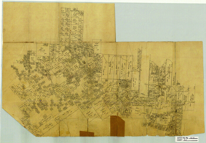
Bell County Sketch File 26b

Print $40.00
- Digital $50.00
Bell County Sketch File 26b
Size: 14.7 x 21.1 inches
10917
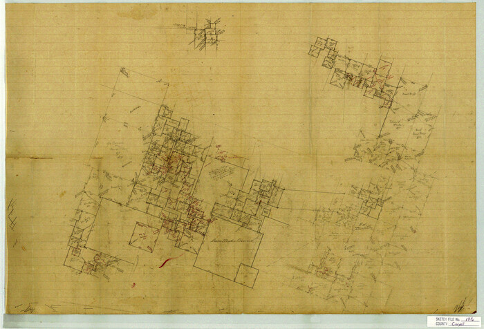
Coryell County Sketch File 17 1/2

Print $20.00
- Digital $50.00
Coryell County Sketch File 17 1/2
Size: 16.0 x 23.6 inches
11182
Bell County Sketch File 6


Print $4.00
- Digital $50.00
Bell County Sketch File 6
Size: 6.3 x 7.7 inches
14373
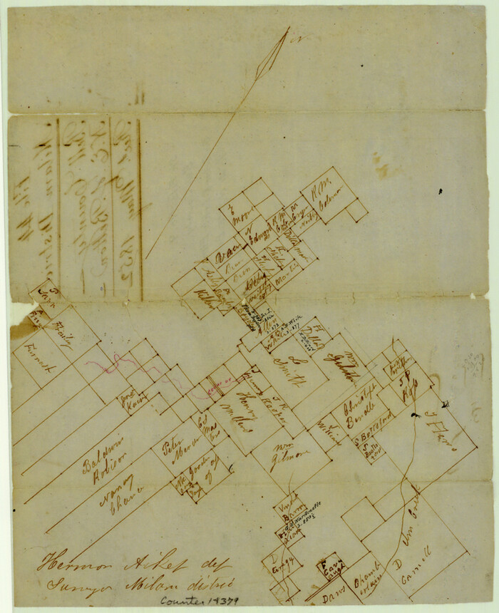
Bell County Sketch File 9

Print $4.00
- Digital $50.00
Bell County Sketch File 9
Size: 10.0 x 8.2 inches
14379
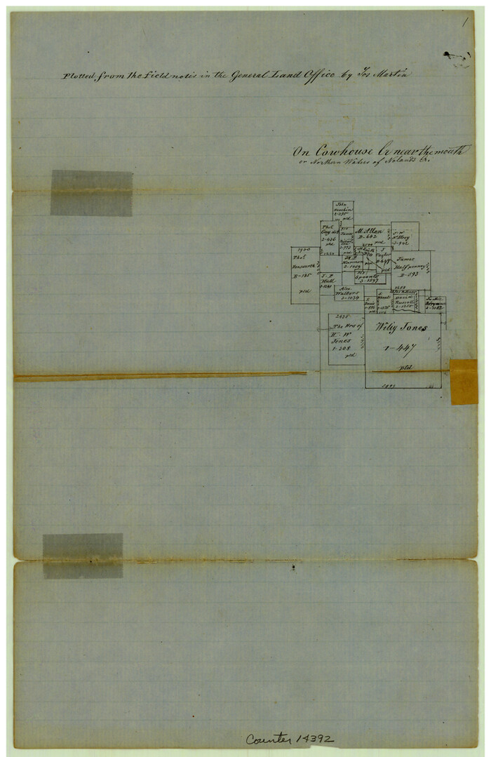
Bell County Sketch File 14

Print $4.00
- Digital $50.00
Bell County Sketch File 14
Size: 12.7 x 8.3 inches
14392
Bell County Sketch File 17
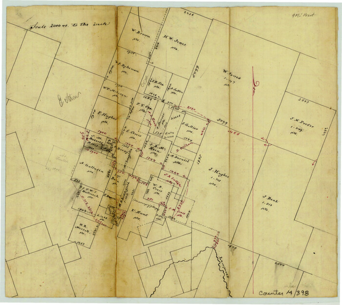

Print $4.00
- Digital $50.00
Bell County Sketch File 17
Size: 8.1 x 9.1 inches
14398
Bell County Sketch File 19


Print $4.00
- Digital $50.00
Bell County Sketch File 19
Size: 7.6 x 7.7 inches
14402
Bell County Sketch File 19a

Print $4.00
- Digital $50.00
Bell County Sketch File 19a
Size: 8.1 x 8.7 inches
14404
Bell County Sketch File 24
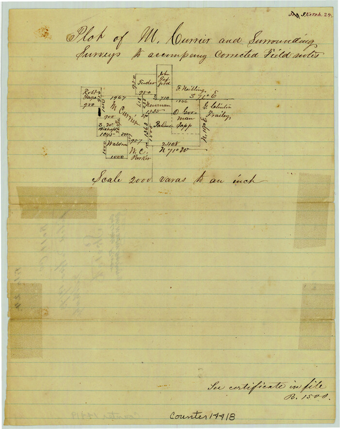

Print $4.00
- Digital $50.00
Bell County Sketch File 24
Size: 10.0 x 8.0 inches
14418
Bell County Sketch File 25


Print $8.00
- Digital $50.00
Bell County Sketch File 25
Size: 5.1 x 5.3 inches
14420
Bell County Sketch File 33
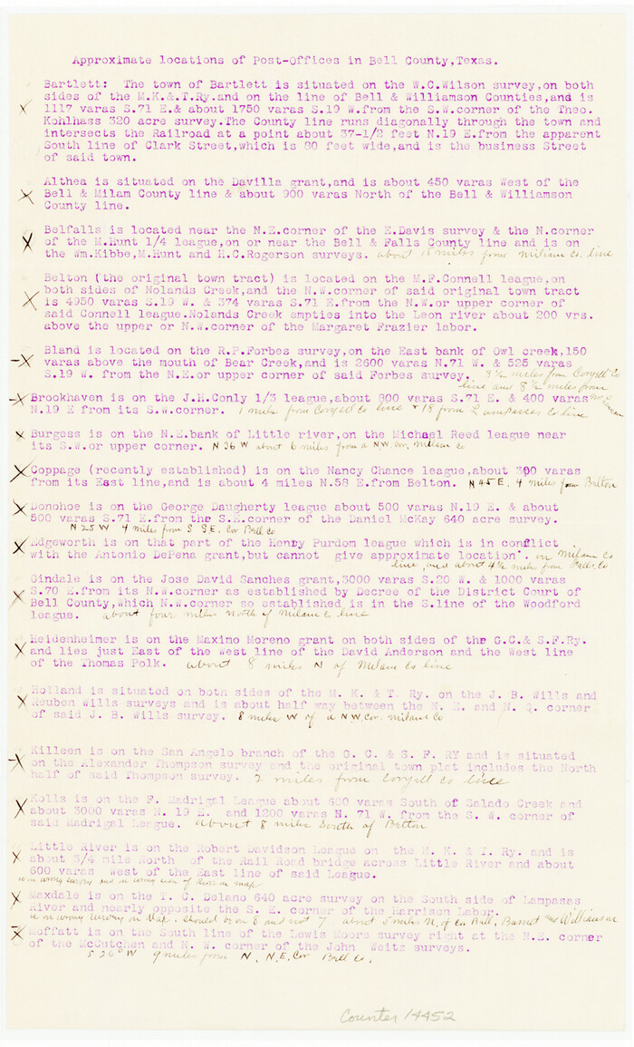

Print $6.00
- Digital $50.00
Bell County Sketch File 33
Size: 14.4 x 8.7 inches
14452
Bell County Sketch File 34

Print $40.00
- Digital $50.00
Bell County Sketch File 34
Size: 15.4 x 13.4 inches
14455
Coryell County Sketch File 2
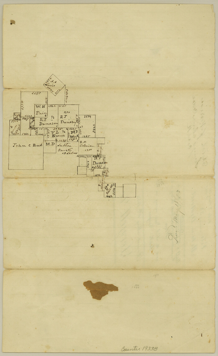

Print $4.00
- Digital $50.00
Coryell County Sketch File 2
Size: 13.0 x 8.0 inches
19338
Falls County Sketch File 14

Print $40.00
- Digital $50.00
Falls County Sketch File 14
Size: 15.9 x 12.9 inches
22370
Bell County Boundary File 1
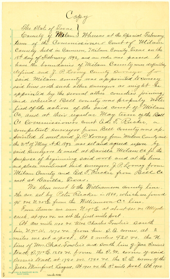

Print $8.00
- Digital $50.00
Bell County Boundary File 1
Size: 14.0 x 8.5 inches
50481
Bell County Boundary File 2
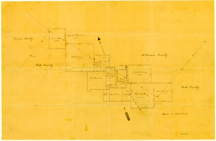

Print $28.00
- Digital $50.00
Bell County Boundary File 2
Size: 14.6 x 22.3 inches
50485
Bell County Boundary File 3


Print $24.00
- Digital $50.00
Bell County Boundary File 3
Size: 11.1 x 8.6 inches
50490
Bell County Boundary File 3a


Print $82.00
- Digital $50.00
Bell County Boundary File 3a
Size: 11.2 x 8.5 inches
50502
[Gulf, Colorado & Santa Fe]
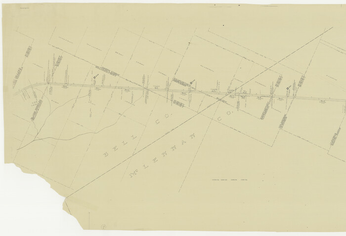

Print $20.00
- Digital $50.00
[Gulf, Colorado & Santa Fe]
Size: 32.4 x 47.4 inches
64577
Falls County Sketch File 29


Print $40.00
- Digital $50.00
Falls County Sketch File 29
Size: 19.9 x 23.5 inches
75994
[Surveys in Mills, Hamilton, Coryell and Bell Counties]
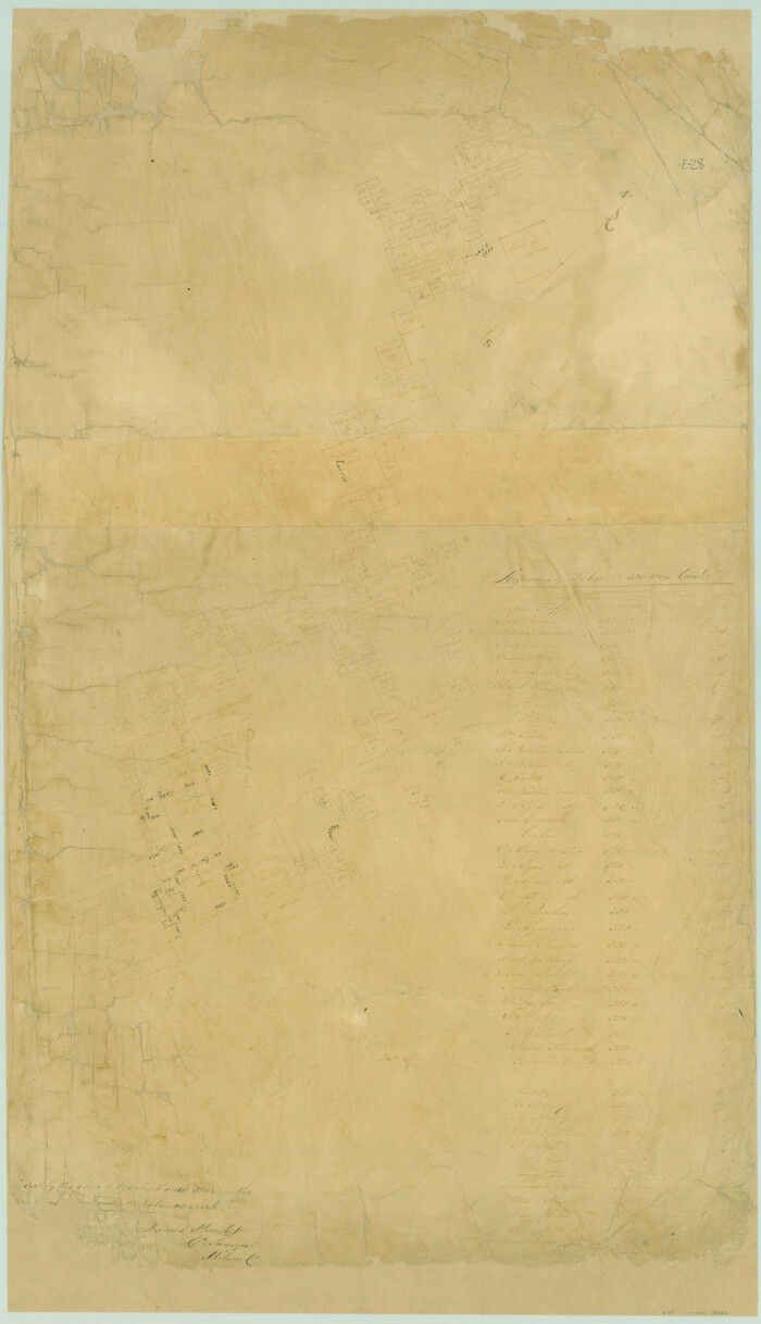

Print $20.00
- Digital $50.00
[Surveys in Mills, Hamilton, Coryell and Bell Counties]
Size: 33.9 x 19.5 inches
78362
[Sketch of Col. Cooke's Military Road expedition from Red River to Austin]
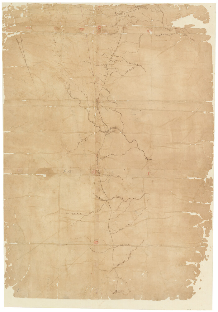

Print $20.00
- Digital $50.00
[Sketch of Col. Cooke's Military Road expedition from Red River to Austin]
Size: 33.4 x 23.4 inches
82146
Map of the lower surveys in Robertsons Colony Sold by the State of Coahuila and Texas


Print $20.00
- Digital $50.00
Map of the lower surveys in Robertsons Colony Sold by the State of Coahuila and Texas
1834
Size: 22.0 x 28.5 inches
122
English Field Notes of the Spanish Archives - Book A-B


English Field Notes of the Spanish Archives - Book A-B
1835
96540
English Field Notes of the Spanish Archives - Book C


English Field Notes of the Spanish Archives - Book C
1835
96541
English Field Notes of the Spanish Archives - Books BTB, GA, BT, and X


English Field Notes of the Spanish Archives - Books BTB, GA, BT, and X
1835
96554
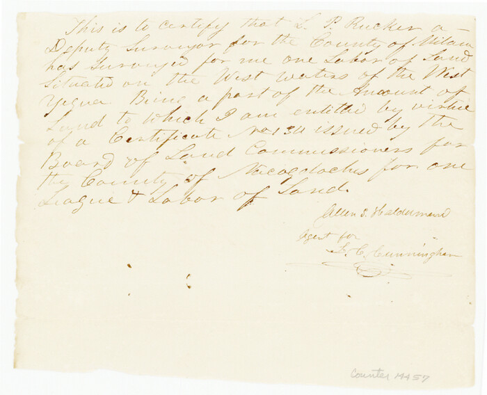
Bell County Sketch File 36

Print $12.00
- Digital $50.00
Bell County Sketch File 36
1839
Size: 6.8 x 8.4 inches
14457
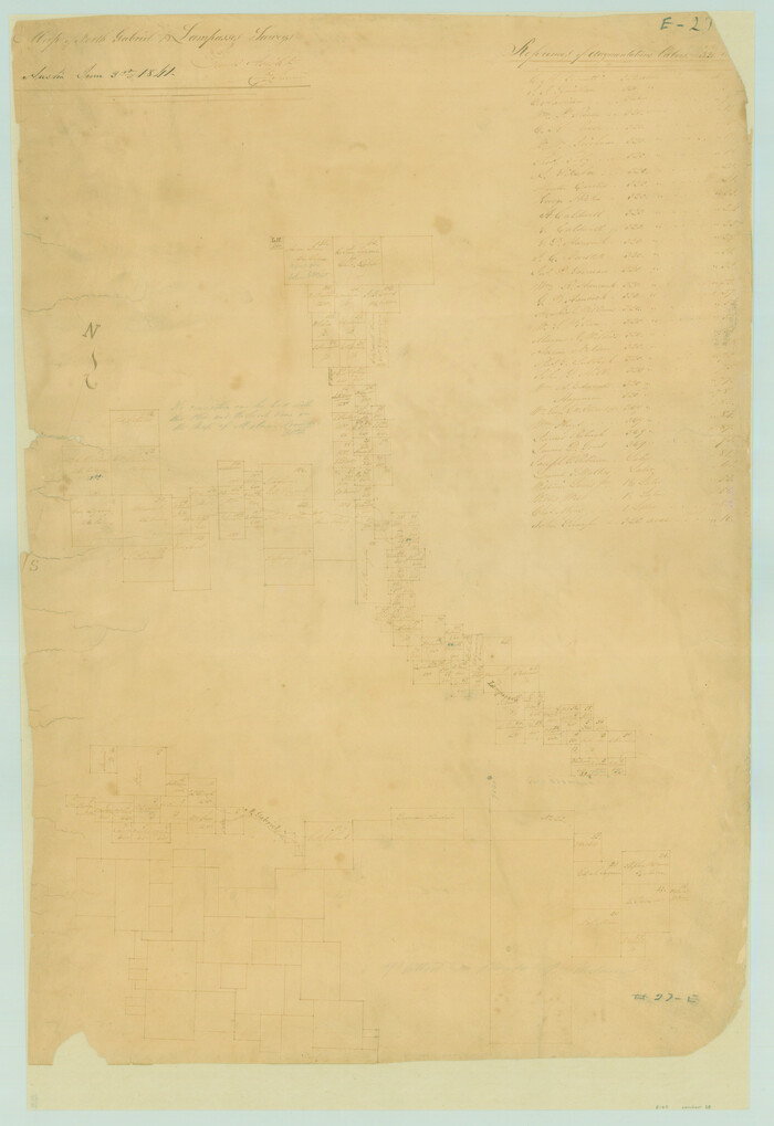
Map of San Gabriel & Lampassas [sic] Surveys

Print $20.00
- Digital $50.00
Map of San Gabriel & Lampassas [sic] Surveys
1841
Size: 29.0 x 20.0 inches
58
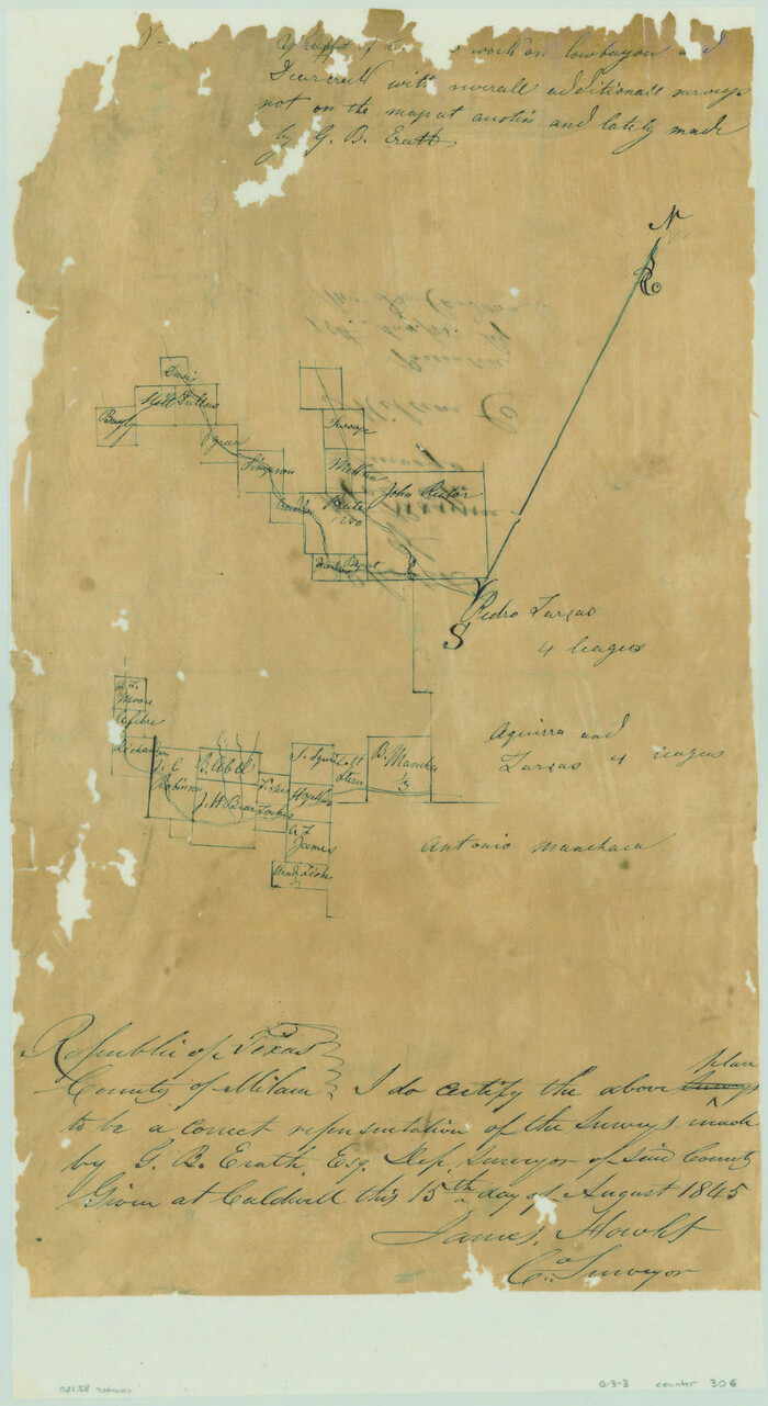
[Surveys along Cow and Deer Creeks]

Print $2.00
- Digital $50.00
[Surveys along Cow and Deer Creeks]
1845
Size: 15.8 x 8.6 inches
306
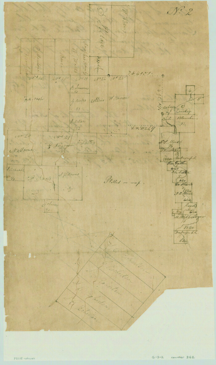
[Surveys along the Salado and Lampasas Rivers and Saltillo Creek]

Print $2.00
- Digital $50.00
[Surveys along the Salado and Lampasas Rivers and Saltillo Creek]
1845
Size: 13.1 x 7.8 inches
362
Bell County Sketch File 26b


Print $40.00
- Digital $50.00
Bell County Sketch File 26b
-
Size
14.7 x 21.1 inches
-
Map/Doc
10917
Coryell County Sketch File 17 1/2


Print $20.00
- Digital $50.00
Coryell County Sketch File 17 1/2
-
Size
16.0 x 23.6 inches
-
Map/Doc
11182
Bell County Sketch File 6


Print $4.00
- Digital $50.00
Bell County Sketch File 6
-
Size
6.3 x 7.7 inches
-
Map/Doc
14373
Bell County Sketch File 9


Print $4.00
- Digital $50.00
Bell County Sketch File 9
-
Size
10.0 x 8.2 inches
-
Map/Doc
14379
Bell County Sketch File 14


Print $4.00
- Digital $50.00
Bell County Sketch File 14
-
Size
12.7 x 8.3 inches
-
Map/Doc
14392
Bell County Sketch File 17


Print $4.00
- Digital $50.00
Bell County Sketch File 17
-
Size
8.1 x 9.1 inches
-
Map/Doc
14398
Bell County Sketch File 19


Print $4.00
- Digital $50.00
Bell County Sketch File 19
-
Size
7.6 x 7.7 inches
-
Map/Doc
14402
Bell County Sketch File 19a


Print $4.00
- Digital $50.00
Bell County Sketch File 19a
-
Size
8.1 x 8.7 inches
-
Map/Doc
14404
Bell County Sketch File 24


Print $4.00
- Digital $50.00
Bell County Sketch File 24
-
Size
10.0 x 8.0 inches
-
Map/Doc
14418
Bell County Sketch File 25


Print $8.00
- Digital $50.00
Bell County Sketch File 25
-
Size
5.1 x 5.3 inches
-
Map/Doc
14420
Bell County Sketch File 33


Print $6.00
- Digital $50.00
Bell County Sketch File 33
-
Size
14.4 x 8.7 inches
-
Map/Doc
14452
Bell County Sketch File 34


Print $40.00
- Digital $50.00
Bell County Sketch File 34
-
Size
15.4 x 13.4 inches
-
Map/Doc
14455
Coryell County Sketch File 2


Print $4.00
- Digital $50.00
Coryell County Sketch File 2
-
Size
13.0 x 8.0 inches
-
Map/Doc
19338
Falls County Sketch File 14


Print $40.00
- Digital $50.00
Falls County Sketch File 14
-
Size
15.9 x 12.9 inches
-
Map/Doc
22370
Bell County Boundary File 1


Print $8.00
- Digital $50.00
Bell County Boundary File 1
-
Size
14.0 x 8.5 inches
-
Map/Doc
50481
Bell County Boundary File 2


Print $28.00
- Digital $50.00
Bell County Boundary File 2
-
Size
14.6 x 22.3 inches
-
Map/Doc
50485
Bell County Boundary File 3


Print $24.00
- Digital $50.00
Bell County Boundary File 3
-
Size
11.1 x 8.6 inches
-
Map/Doc
50490
Bell County Boundary File 3a


Print $82.00
- Digital $50.00
Bell County Boundary File 3a
-
Size
11.2 x 8.5 inches
-
Map/Doc
50502
[Gulf, Colorado & Santa Fe]
![64577, [Gulf, Colorado & Santa Fe], General Map Collection](https://historictexasmaps.com/wmedia_w700/maps/64577.tif.jpg)
![64577, [Gulf, Colorado & Santa Fe], General Map Collection](https://historictexasmaps.com/wmedia_w700/maps/64577.tif.jpg)
Print $20.00
- Digital $50.00
[Gulf, Colorado & Santa Fe]
-
Size
32.4 x 47.4 inches
-
Map/Doc
64577
Falls County Sketch File 29


Print $40.00
- Digital $50.00
Falls County Sketch File 29
-
Size
19.9 x 23.5 inches
-
Map/Doc
75994
[Surveys in Mills, Hamilton, Coryell and Bell Counties]
![78362, [Surveys in Mills, Hamilton, Coryell and Bell Counties], General Map Collection](https://historictexasmaps.com/wmedia_w700/maps/78362.tif.jpg)
![78362, [Surveys in Mills, Hamilton, Coryell and Bell Counties], General Map Collection](https://historictexasmaps.com/wmedia_w700/maps/78362.tif.jpg)
Print $20.00
- Digital $50.00
[Surveys in Mills, Hamilton, Coryell and Bell Counties]
-
Size
33.9 x 19.5 inches
-
Map/Doc
78362
[Sketch of Col. Cooke's Military Road expedition from Red River to Austin]
![82146, [Sketch of Col. Cooke's Military Road expedition from Red River to Austin], General Map Collection](https://historictexasmaps.com/wmedia_w700/maps/82146-1.tif.jpg)
![82146, [Sketch of Col. Cooke's Military Road expedition from Red River to Austin], General Map Collection](https://historictexasmaps.com/wmedia_w700/maps/82146-1.tif.jpg)
Print $20.00
- Digital $50.00
[Sketch of Col. Cooke's Military Road expedition from Red River to Austin]
-
Size
33.4 x 23.4 inches
-
Map/Doc
82146
Map of the lower surveys in Robertsons Colony Sold by the State of Coahuila and Texas


Print $20.00
- Digital $50.00
Map of the lower surveys in Robertsons Colony Sold by the State of Coahuila and Texas
1834
-
Size
22.0 x 28.5 inches
-
Map/Doc
122
-
Creation Date
1834
English Field Notes of the Spanish Archives - Book A-B


English Field Notes of the Spanish Archives - Book A-B
1835
-
Map/Doc
96540
-
Creation Date
1835
English Field Notes of the Spanish Archives - Book C


English Field Notes of the Spanish Archives - Book C
1835
-
Map/Doc
96541
-
Creation Date
1835
English Field Notes of the Spanish Archives - Books BTB, GA, BT, and X


English Field Notes of the Spanish Archives - Books BTB, GA, BT, and X
1835
-
Map/Doc
96554
-
Creation Date
1835
Bell County Sketch File 36


Print $12.00
- Digital $50.00
Bell County Sketch File 36
1839
-
Size
6.8 x 8.4 inches
-
Map/Doc
14457
-
Creation Date
1839
Map of San Gabriel & Lampassas [sic] Surveys
![58, Map of San Gabriel & Lampassas [sic] Surveys, General Map Collection](https://historictexasmaps.com/wmedia_w700/maps/58.tif.jpg)
![58, Map of San Gabriel & Lampassas [sic] Surveys, General Map Collection](https://historictexasmaps.com/wmedia_w700/maps/58.tif.jpg)
Print $20.00
- Digital $50.00
Map of San Gabriel & Lampassas [sic] Surveys
1841
-
Size
29.0 x 20.0 inches
-
Map/Doc
58
-
Creation Date
1841
[Surveys along Cow and Deer Creeks]
![306, [Surveys along Cow and Deer Creeks], General Map Collection](https://historictexasmaps.com/wmedia_w700/maps/306.tif.jpg)
![306, [Surveys along Cow and Deer Creeks], General Map Collection](https://historictexasmaps.com/wmedia_w700/maps/306.tif.jpg)
Print $2.00
- Digital $50.00
[Surveys along Cow and Deer Creeks]
1845
-
Size
15.8 x 8.6 inches
-
Map/Doc
306
-
Creation Date
1845
[Surveys along the Salado and Lampasas Rivers and Saltillo Creek]
![362, [Surveys along the Salado and Lampasas Rivers and Saltillo Creek], General Map Collection](https://historictexasmaps.com/wmedia_w700/maps/362.tif.jpg)
![362, [Surveys along the Salado and Lampasas Rivers and Saltillo Creek], General Map Collection](https://historictexasmaps.com/wmedia_w700/maps/362.tif.jpg)
Print $2.00
- Digital $50.00
[Surveys along the Salado and Lampasas Rivers and Saltillo Creek]
1845
-
Size
13.1 x 7.8 inches
-
Map/Doc
362
-
Creation Date
1845