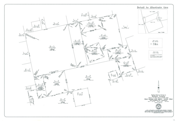
Burnet County Working Sketch 27
2025

Burnet County Working Sketch 26
2016
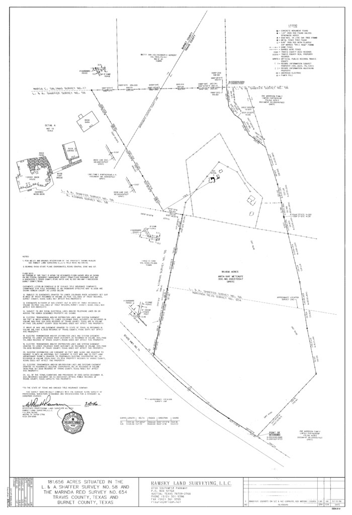
Travis County State Real Property Sketch 13
2006
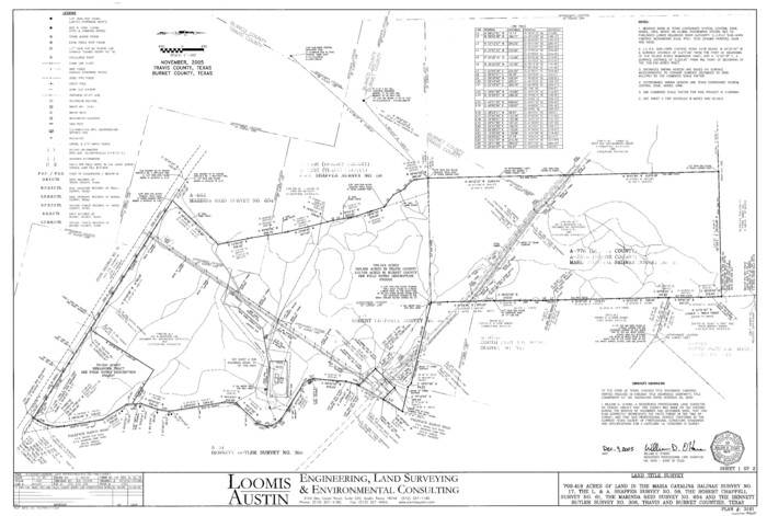
Travis County State Real Property Sketch 12
2005
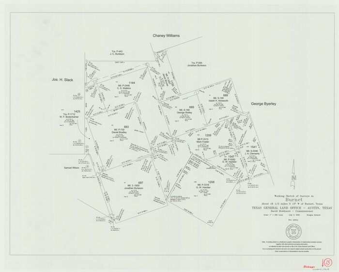
Burnet County Working Sketch 25
2000

Burnet County Working Sketch 24
1990
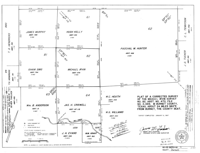
Burnet County Rolled Sketch 7
1987
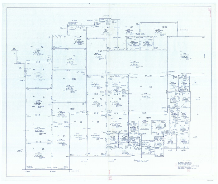
Burnet County Working Sketch 23
1987
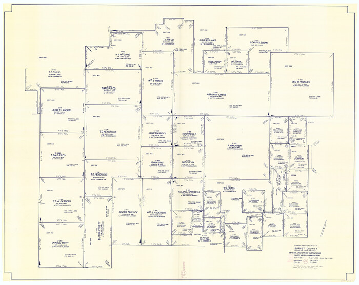
Burnet County Working Sketch 22
1986
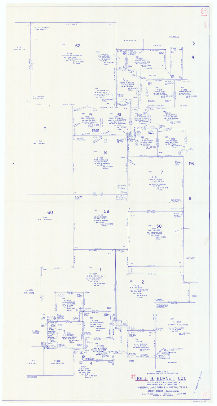
Bell County Working Sketch 17
1983
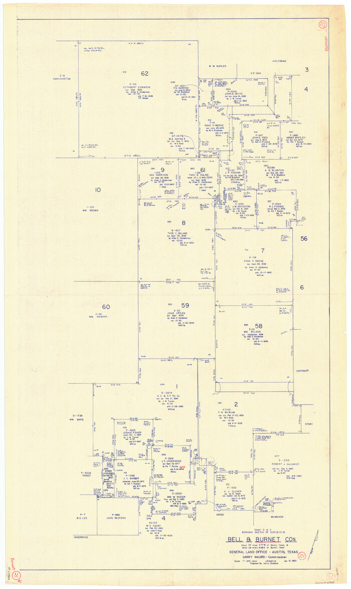
Burnet County Working Sketch 21
1983
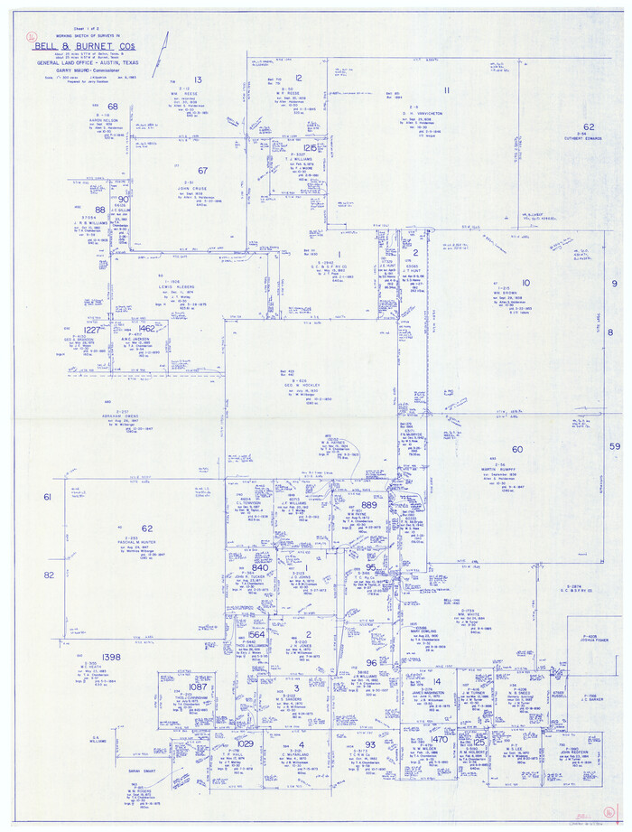
Bell County Working Sketch 16
1983
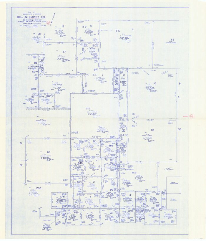
Burnet County Working Sketch 20
1983

Burnet County Working Sketch 19
1982
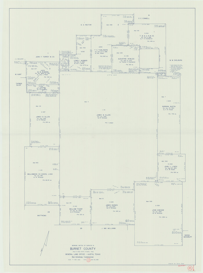
Burnet County Working Sketch 18
1980
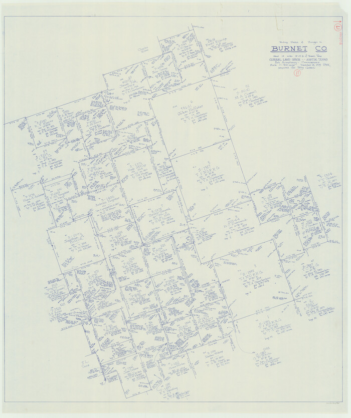
Burnet County Working Sketch 17
1979

Burnet County Working Sketch 16
1979

Burnet County Working Sketch 15
1979

Burnet County Working Sketch 14
1978
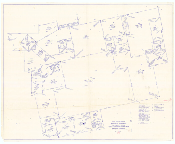
Burnet County Working Sketch 13
1977
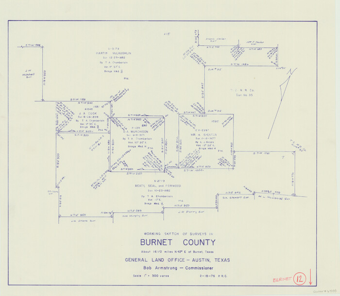
Burnet County Working Sketch 12
1976

Williamson County Rolled Sketch 10
1975

Burnet County Working Sketch 11
1975
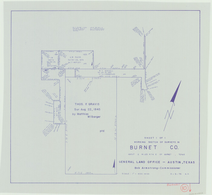
Burnet County Working Sketch 10
1975
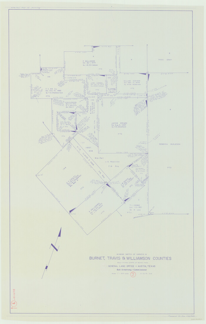
Burnet County Working Sketch 9
1975
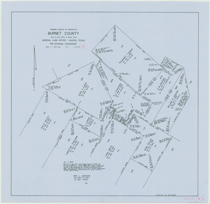
Burnet County Working Sketch 8
1973
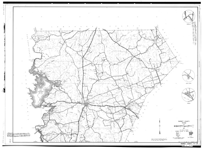
Burnet County Rolled Sketch 5
1971
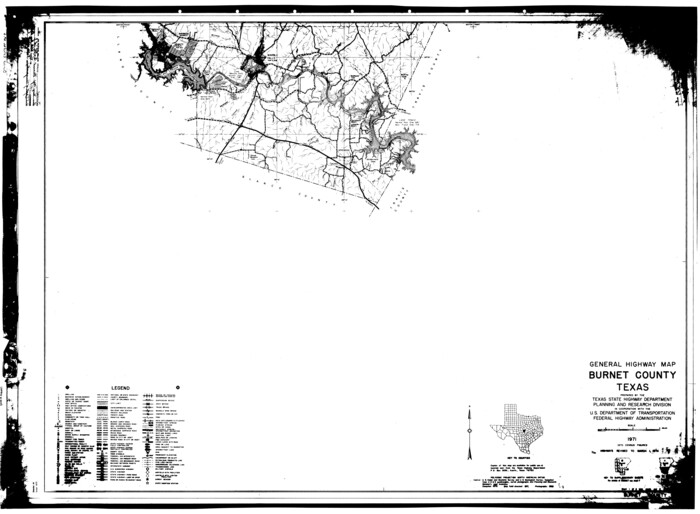
Burnet County Rolled Sketch 6
1971
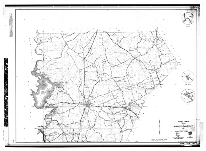
Burnet County Rolled Sketch 9
1971

Burnet County Working Sketch 27
2025
-
Size
24.5 x 36.0 inches
-
Map/Doc
97419
-
Creation Date
2025

Texas Hill Country Trail Region
2017
-
Size
18.2 x 24.3 inches
-
Map/Doc
96871
-
Creation Date
2017

Burnet County Working Sketch 26
2016
-
Size
18.7 x 24.8 inches
-
Map/Doc
93979
-
Creation Date
2016

Travis County State Real Property Sketch 13
2006
-
Size
35.3 x 24.1 inches
-
Map/Doc
88620
-
Creation Date
2006

Travis County State Real Property Sketch 12
2005
-
Size
24.0 x 35.6 inches
-
Map/Doc
88617
-
Creation Date
2005

Burnet County Working Sketch 25
2000
-
Size
24.2 x 30.3 inches
-
Map/Doc
67868
-
Creation Date
2000

Burnet County Working Sketch 24
1990
-
Size
19.9 x 26.8 inches
-
Map/Doc
67867
-
Creation Date
1990

Burnet County Rolled Sketch 7
1987
-
Size
18.4 x 24.0 inches
-
Map/Doc
5357
-
Creation Date
1987

Burnet County Working Sketch 23
1987
-
Size
43.8 x 51.9 inches
-
Map/Doc
67866
-
Creation Date
1987

Burnet County Working Sketch 22
1986
-
Size
40.5 x 50.9 inches
-
Map/Doc
67865
-
Creation Date
1986

Bell County Working Sketch 17
1983
-
Size
46.8 x 25.0 inches
-
Map/Doc
67357
-
Creation Date
1983

Burnet County Working Sketch 21
1983
-
Size
47.6 x 28.4 inches
-
Map/Doc
67864
-
Creation Date
1983

Bell County Working Sketch 16
1983
-
Size
46.5 x 35.4 inches
-
Map/Doc
67356
-
Creation Date
1983

Burnet County Working Sketch 20
1983
-
Size
48.1 x 41.2 inches
-
Map/Doc
67863
-
Creation Date
1983

Burnet County Working Sketch 19
1982
-
Size
38.2 x 36.7 inches
-
Map/Doc
67862
-
Creation Date
1982

Burnet County Working Sketch 18
1980
-
Size
44.3 x 32.9 inches
-
Map/Doc
67861
-
Creation Date
1980

Burnet County Working Sketch 17
1979
-
Size
41.1 x 34.4 inches
-
Map/Doc
67860
-
Creation Date
1979

Burnet County Working Sketch 16
1979
-
Size
22.8 x 32.5 inches
-
Map/Doc
67859
-
Creation Date
1979

Burnet County Working Sketch 15
1979
-
Size
38.2 x 30.4 inches
-
Map/Doc
67858
-
Creation Date
1979

Burnet County Working Sketch 14
1978
-
Size
37.0 x 38.5 inches
-
Map/Doc
67857
-
Creation Date
1978

Burnet County Working Sketch 13
1977
-
Size
40.5 x 49.2 inches
-
Map/Doc
67856
-
Creation Date
1977

Burnet County Working Sketch 12
1976
-
Size
17.3 x 19.9 inches
-
Map/Doc
67855
-
Creation Date
1976

Williamson County Rolled Sketch 10
1975
-
Size
24.8 x 19.2 inches
-
Map/Doc
8267
-
Creation Date
1975

Burnet County Working Sketch 11
1975
-
Size
26.5 x 28.9 inches
-
Map/Doc
67854
-
Creation Date
1975

Burnet County Working Sketch 10
1975
-
Size
18.6 x 20.3 inches
-
Map/Doc
67853
-
Creation Date
1975

Burnet County Working Sketch 9
1975
-
Size
39.7 x 25.2 inches
-
Map/Doc
67852
-
Creation Date
1975

Burnet County Working Sketch 8
1973
-
Size
27.2 x 28.0 inches
-
Map/Doc
67851
-
Creation Date
1973

Burnet County Rolled Sketch 5
1971
-
Size
36.5 x 49.6 inches
-
Map/Doc
8542
-
Creation Date
1971

Burnet County Rolled Sketch 6
1971
-
Size
36.4 x 49.5 inches
-
Map/Doc
8543
-
Creation Date
1971

Burnet County Rolled Sketch 9
1971
-
Size
37.7 x 51.3 inches
-
Map/Doc
8545
-
Creation Date
1971