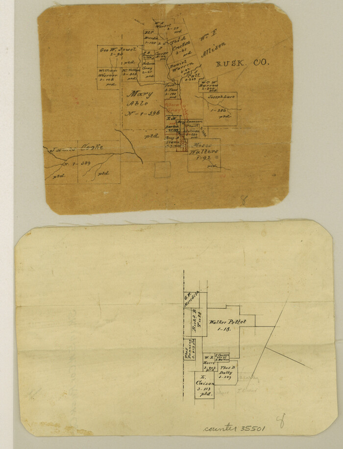
Cherokee County Sketch File 32


Print $20.00
- Digital $50.00
Cherokee County Sketch File 32
Size: 45.2 x 30.0 inches
10334
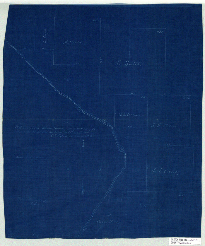
Cherokee County Sketch File 22a

Print $20.00
- Digital $50.00
Cherokee County Sketch File 22a
Size: 17.5 x 14.6 inches
11072
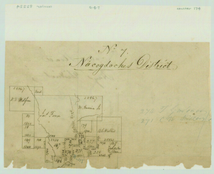
Salina Road, Hays' District, Nacogdoches County

Print $2.00
- Digital $50.00
Salina Road, Hays' District, Nacogdoches County
Size: 5.1 x 6.2 inches
174
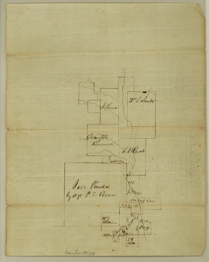
Cherokee County Sketch File 7

Print $4.00
- Digital $50.00
Cherokee County Sketch File 7
Size: 10.3 x 8.3 inches
18128
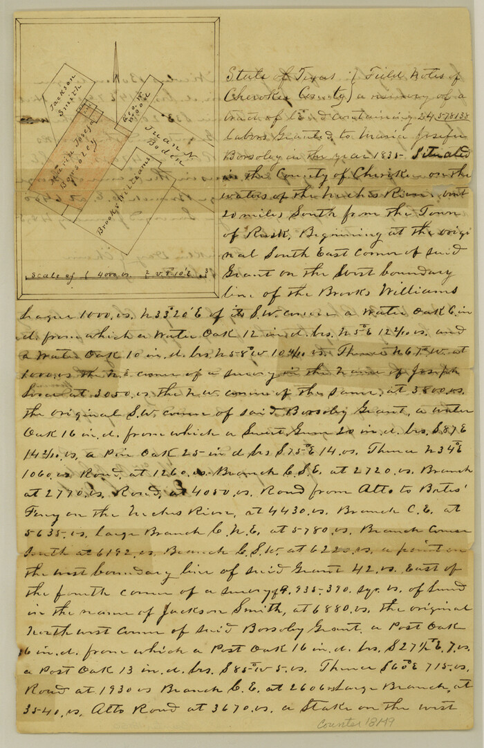
Cherokee County Sketch File 15

Print $6.00
- Digital $50.00
Cherokee County Sketch File 15
Size: 12.4 x 8.0 inches
18149
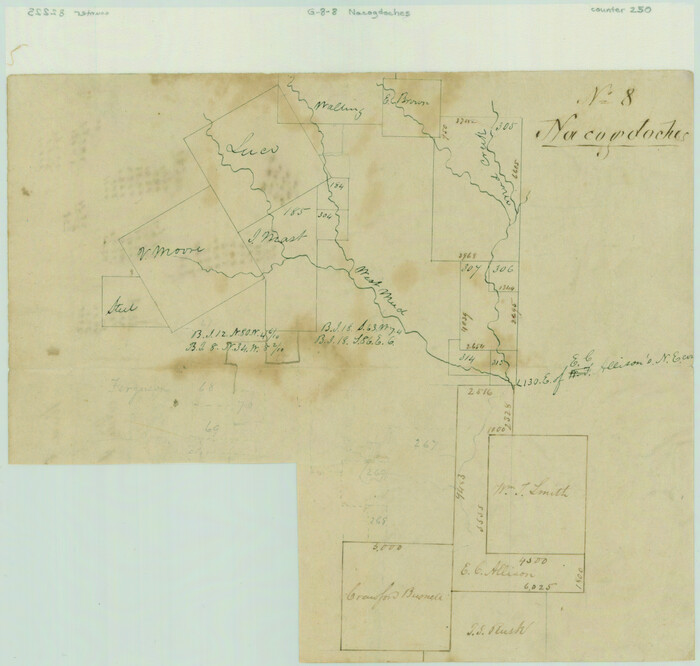
[Surveys along Mud Creek, Nacogdoches District]

Print $2.00
- Digital $50.00
[Surveys along Mud Creek, Nacogdoches District]
Size: 7.7 x 8.1 inches
250
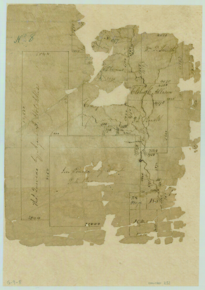
[Surveys in Cherokee County]

Print $2.00
- Digital $50.00
[Surveys in Cherokee County]
Size: 8.0 x 5.6 inches
251
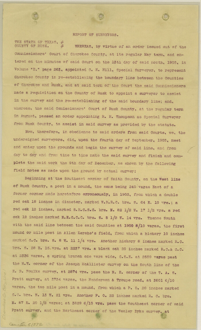
Cherokee County Boundary File 1

Print $34.00
- Digital $50.00
Cherokee County Boundary File 1
Size: 14.2 x 8.7 inches
51272
Cherokee County Boundary File 2
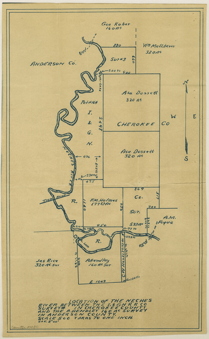

Print $11.00
- Digital $50.00
Cherokee County Boundary File 2
Size: 16.1 x 9.9 inches
51280
Cherokee County Boundary File 3
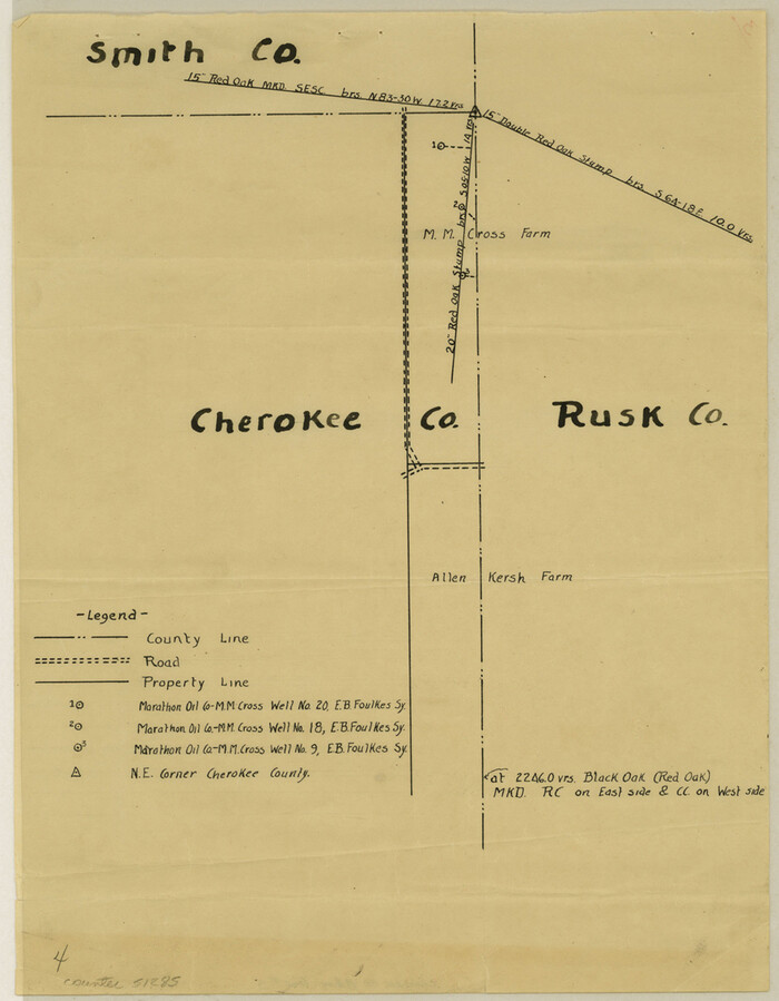

Print $34.00
- Digital $50.00
Cherokee County Boundary File 3
Size: 11.2 x 8.8 inches
51285
Cherokee County Boundary File 6 and 15

Print $8.00
- Digital $50.00
Cherokee County Boundary File 6 and 15
Size: 8.3 x 6.7 inches
51301
[Location St. L. & S. W. R. R. Through Cherokee County]
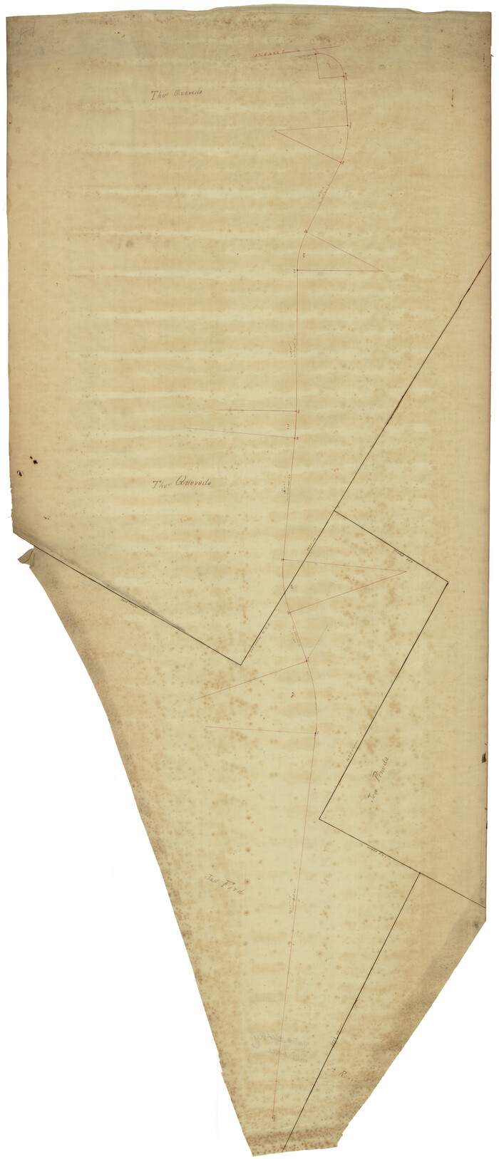

Print $40.00
- Digital $50.00
[Location St. L. & S. W. R. R. Through Cherokee County]
Size: 92.0 x 39.9 inches
64042
Location St. L. & S. W. R. R. Through Cherokee County


Print $40.00
- Digital $50.00
Location St. L. & S. W. R. R. Through Cherokee County
Size: 108.6 x 39.0 inches
64043
[Location St. L. & S. W. R. R. Through Cherokee County]


Print $40.00
- Digital $50.00
[Location St. L. & S. W. R. R. Through Cherokee County]
Size: 39.2 x 122.1 inches
64044
[Location St. L. & S. W. R. R. Through Cherokee County]

Print $40.00
- Digital $50.00
[Location St. L. & S. W. R. R. Through Cherokee County]
Size: 38.7 x 76.6 inches
64045
Map of Red River Division of International & Great Northern Railroad


Print $40.00
- Digital $50.00
Map of Red River Division of International & Great Northern Railroad
Size: 23.5 x 103.4 inches
64475
Map of Red River Division of the International & Great Northern Railroad


Print $40.00
- Digital $50.00
Map of Red River Division of the International & Great Northern Railroad
Size: 24.1 x 107.0 inches
64476
Map of the Houston and G. N. R.R. and lands adjacent, from Troupe to the Texas Pacific R.R.


Print $40.00
- Digital $50.00
Map of the Houston and G. N. R.R. and lands adjacent, from Troupe to the Texas Pacific R.R.
Size: 21.2 x 92.0 inches
64627
State Prison System, Cherokee County
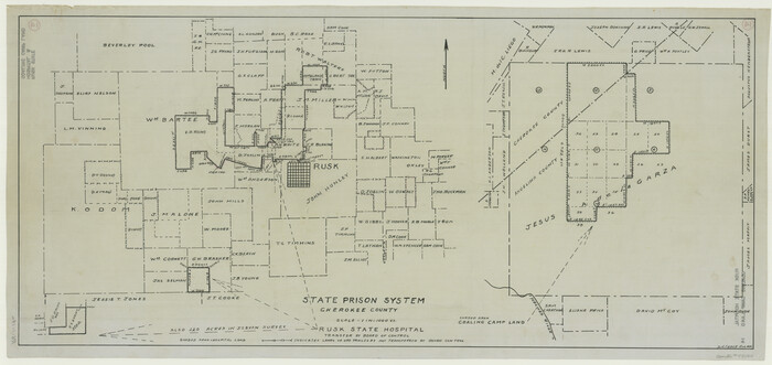

Print $20.00
- Digital $50.00
State Prison System, Cherokee County
Size: 15.7 x 33.1 inches
73560
State Prison System, Cherokee County
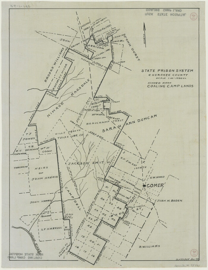

Print $20.00
- Digital $50.00
State Prison System, Cherokee County
Size: 17.9 x 13.8 inches
73561
[East Neches River]
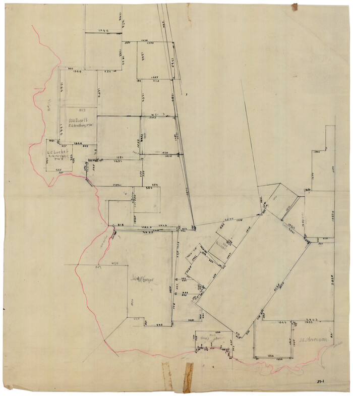

Print $20.00
- Digital $50.00
[East Neches River]
Size: 25.8 x 29.3 inches
90420
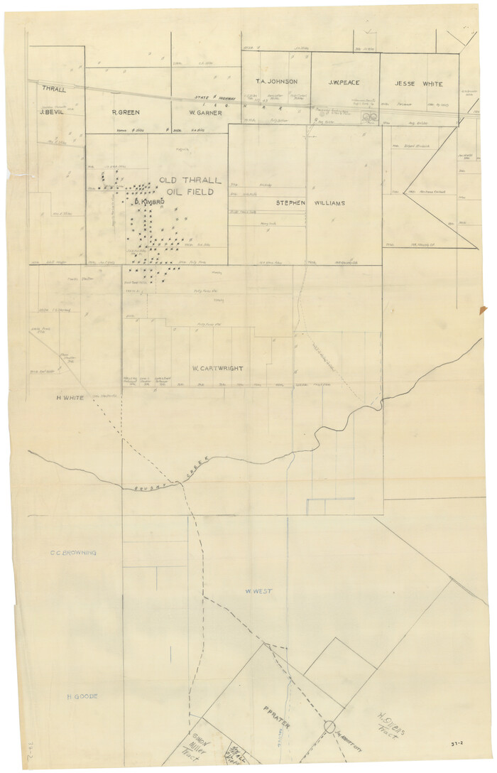
[Sketch showing surveys near Brushy Creek and Old Thrall Oil Field]

Print $20.00
- Digital $50.00
[Sketch showing surveys near Brushy Creek and Old Thrall Oil Field]
Size: 27.4 x 42.6 inches
90421
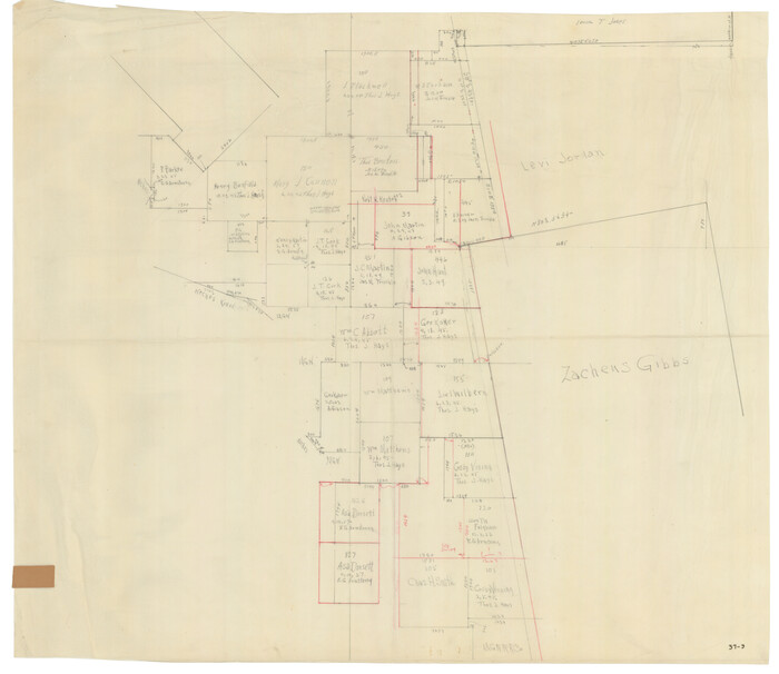
[J. Blackwell survey 150, E. Parker, Asa Dorsett survey 827 and surrounding surveys]

Print $20.00
- Digital $50.00
[J. Blackwell survey 150, E. Parker, Asa Dorsett survey 827 and surrounding surveys]
Size: 35.0 x 30.3 inches
90422
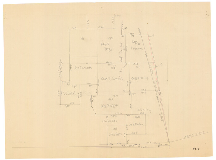
[Area around Edwin Harry survey 475, Chas. H. Smith survey 105 and A. M Fuqua survey 463]

Print $20.00
- Digital $50.00
[Area around Edwin Harry survey 475, Chas. H. Smith survey 105 and A. M Fuqua survey 463]
Size: 21.0 x 15.6 inches
90423
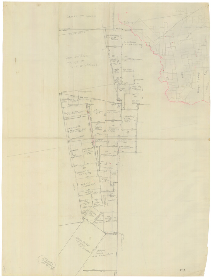
[Surveys South of the Levi Jordan Title, Southwest of the Neches River]

Print $20.00
- Digital $50.00
[Surveys South of the Levi Jordan Title, Southwest of the Neches River]
Size: 33.4 x 43.3 inches
90424
English Field Notes of the Spanish Archives - Books JMH, MCMCHB, TGI


English Field Notes of the Spanish Archives - Books JMH, MCMCHB, TGI
1835
96547
English Field Notes of the Spanish Archives - Books DBE, WBPS, GAN, WB3, and X


English Field Notes of the Spanish Archives - Books DBE, WBPS, GAN, WB3, and X
1835
96546
English Field Notes of the Spanish Archives - Book J. Strode


English Field Notes of the Spanish Archives - Book J. Strode
1835
96549
Cherokee County Sketch File 32


Print $20.00
- Digital $50.00
Cherokee County Sketch File 32
-
Size
45.2 x 30.0 inches
-
Map/Doc
10334
Cherokee County Sketch File 22a


Print $20.00
- Digital $50.00
Cherokee County Sketch File 22a
-
Size
17.5 x 14.6 inches
-
Map/Doc
11072
Salina Road, Hays' District, Nacogdoches County


Print $2.00
- Digital $50.00
Salina Road, Hays' District, Nacogdoches County
-
Size
5.1 x 6.2 inches
-
Map/Doc
174
Cherokee County Sketch File 7


Print $4.00
- Digital $50.00
Cherokee County Sketch File 7
-
Size
10.3 x 8.3 inches
-
Map/Doc
18128
Cherokee County Sketch File 15


Print $6.00
- Digital $50.00
Cherokee County Sketch File 15
-
Size
12.4 x 8.0 inches
-
Map/Doc
18149
[Surveys along Mud Creek, Nacogdoches District]
![250, [Surveys along Mud Creek, Nacogdoches District], General Map Collection](https://historictexasmaps.com/wmedia_w700/maps/250.tif.jpg)
![250, [Surveys along Mud Creek, Nacogdoches District], General Map Collection](https://historictexasmaps.com/wmedia_w700/maps/250.tif.jpg)
Print $2.00
- Digital $50.00
[Surveys along Mud Creek, Nacogdoches District]
-
Size
7.7 x 8.1 inches
-
Map/Doc
250
[Surveys in Cherokee County]
![251, [Surveys in Cherokee County], General Map Collection](https://historictexasmaps.com/wmedia_w700/maps/251.tif.jpg)
![251, [Surveys in Cherokee County], General Map Collection](https://historictexasmaps.com/wmedia_w700/maps/251.tif.jpg)
Print $2.00
- Digital $50.00
[Surveys in Cherokee County]
-
Size
8.0 x 5.6 inches
-
Map/Doc
251
Rusk County Sketch File 17a


Print $4.00
Rusk County Sketch File 17a
-
Size
8.4 x 7.8 inches
-
Map/Doc
35522
Cherokee County Boundary File 1


Print $34.00
- Digital $50.00
Cherokee County Boundary File 1
-
Size
14.2 x 8.7 inches
-
Map/Doc
51272
Cherokee County Boundary File 2


Print $11.00
- Digital $50.00
Cherokee County Boundary File 2
-
Size
16.1 x 9.9 inches
-
Map/Doc
51280
Cherokee County Boundary File 3


Print $34.00
- Digital $50.00
Cherokee County Boundary File 3
-
Size
11.2 x 8.8 inches
-
Map/Doc
51285
Cherokee County Boundary File 6 and 15


Print $8.00
- Digital $50.00
Cherokee County Boundary File 6 and 15
-
Size
8.3 x 6.7 inches
-
Map/Doc
51301
[Location St. L. & S. W. R. R. Through Cherokee County]
![64042, [Location St. L. & S. W. R. R. Through Cherokee County], General Map Collection](https://historictexasmaps.com/wmedia_w700/maps/64042-1.tif.jpg)
![64042, [Location St. L. & S. W. R. R. Through Cherokee County], General Map Collection](https://historictexasmaps.com/wmedia_w700/maps/64042-1.tif.jpg)
Print $40.00
- Digital $50.00
[Location St. L. & S. W. R. R. Through Cherokee County]
-
Size
92.0 x 39.9 inches
-
Map/Doc
64042
Location St. L. & S. W. R. R. Through Cherokee County


Print $40.00
- Digital $50.00
Location St. L. & S. W. R. R. Through Cherokee County
-
Size
108.6 x 39.0 inches
-
Map/Doc
64043
[Location St. L. & S. W. R. R. Through Cherokee County]
![64044, [Location St. L. & S. W. R. R. Through Cherokee County], General Map Collection](https://historictexasmaps.com/wmedia_w700/maps/64044-1.tif.jpg)
![64044, [Location St. L. & S. W. R. R. Through Cherokee County], General Map Collection](https://historictexasmaps.com/wmedia_w700/maps/64044-1.tif.jpg)
Print $40.00
- Digital $50.00
[Location St. L. & S. W. R. R. Through Cherokee County]
-
Size
39.2 x 122.1 inches
-
Map/Doc
64044
[Location St. L. & S. W. R. R. Through Cherokee County]
![64045, [Location St. L. & S. W. R. R. Through Cherokee County], General Map Collection](https://historictexasmaps.com/wmedia_w700/maps/64045-1.tif.jpg)
![64045, [Location St. L. & S. W. R. R. Through Cherokee County], General Map Collection](https://historictexasmaps.com/wmedia_w700/maps/64045-1.tif.jpg)
Print $40.00
- Digital $50.00
[Location St. L. & S. W. R. R. Through Cherokee County]
-
Size
38.7 x 76.6 inches
-
Map/Doc
64045
Map of Red River Division of International & Great Northern Railroad


Print $40.00
- Digital $50.00
Map of Red River Division of International & Great Northern Railroad
-
Size
23.5 x 103.4 inches
-
Map/Doc
64475
Map of Red River Division of the International & Great Northern Railroad


Print $40.00
- Digital $50.00
Map of Red River Division of the International & Great Northern Railroad
-
Size
24.1 x 107.0 inches
-
Map/Doc
64476
Map of the Houston and G. N. R.R. and lands adjacent, from Troupe to the Texas Pacific R.R.


Print $40.00
- Digital $50.00
Map of the Houston and G. N. R.R. and lands adjacent, from Troupe to the Texas Pacific R.R.
-
Size
21.2 x 92.0 inches
-
Map/Doc
64627
State Prison System, Cherokee County


Print $20.00
- Digital $50.00
State Prison System, Cherokee County
-
Size
15.7 x 33.1 inches
-
Map/Doc
73560
State Prison System, Cherokee County


Print $20.00
- Digital $50.00
State Prison System, Cherokee County
-
Size
17.9 x 13.8 inches
-
Map/Doc
73561
[East Neches River]
![90420, [East Neches River], Twichell Survey Records](https://historictexasmaps.com/wmedia_w700/maps/90420-1.tif.jpg)
![90420, [East Neches River], Twichell Survey Records](https://historictexasmaps.com/wmedia_w700/maps/90420-1.tif.jpg)
Print $20.00
- Digital $50.00
[East Neches River]
-
Size
25.8 x 29.3 inches
-
Map/Doc
90420
[Sketch showing surveys near Brushy Creek and Old Thrall Oil Field]
![90421, [Sketch showing surveys near Brushy Creek and Old Thrall Oil Field], Twichell Survey Records](https://historictexasmaps.com/wmedia_w700/maps/90421-1.tif.jpg)
![90421, [Sketch showing surveys near Brushy Creek and Old Thrall Oil Field], Twichell Survey Records](https://historictexasmaps.com/wmedia_w700/maps/90421-1.tif.jpg)
Print $20.00
- Digital $50.00
[Sketch showing surveys near Brushy Creek and Old Thrall Oil Field]
-
Size
27.4 x 42.6 inches
-
Map/Doc
90421
[J. Blackwell survey 150, E. Parker, Asa Dorsett survey 827 and surrounding surveys]
![90422, [J. Blackwell survey 150, E. Parker, Asa Dorsett survey 827 and surrounding surveys], Twichell Survey Records](https://historictexasmaps.com/wmedia_w700/maps/90422-1.tif.jpg)
![90422, [J. Blackwell survey 150, E. Parker, Asa Dorsett survey 827 and surrounding surveys], Twichell Survey Records](https://historictexasmaps.com/wmedia_w700/maps/90422-1.tif.jpg)
Print $20.00
- Digital $50.00
[J. Blackwell survey 150, E. Parker, Asa Dorsett survey 827 and surrounding surveys]
-
Size
35.0 x 30.3 inches
-
Map/Doc
90422
[Area around Edwin Harry survey 475, Chas. H. Smith survey 105 and A. M Fuqua survey 463]
![90423, [Area around Edwin Harry survey 475, Chas. H. Smith survey 105 and A. M Fuqua survey 463], Twichell Survey Records](https://historictexasmaps.com/wmedia_w700/maps/90423-1.tif.jpg)
![90423, [Area around Edwin Harry survey 475, Chas. H. Smith survey 105 and A. M Fuqua survey 463], Twichell Survey Records](https://historictexasmaps.com/wmedia_w700/maps/90423-1.tif.jpg)
Print $20.00
- Digital $50.00
[Area around Edwin Harry survey 475, Chas. H. Smith survey 105 and A. M Fuqua survey 463]
-
Size
21.0 x 15.6 inches
-
Map/Doc
90423
[Surveys South of the Levi Jordan Title, Southwest of the Neches River]
![90424, [Surveys South of the Levi Jordan Title, Southwest of the Neches River], Twichell Survey Records](https://historictexasmaps.com/wmedia_w700/maps/90424-1.tif.jpg)
![90424, [Surveys South of the Levi Jordan Title, Southwest of the Neches River], Twichell Survey Records](https://historictexasmaps.com/wmedia_w700/maps/90424-1.tif.jpg)
Print $20.00
- Digital $50.00
[Surveys South of the Levi Jordan Title, Southwest of the Neches River]
-
Size
33.4 x 43.3 inches
-
Map/Doc
90424
English Field Notes of the Spanish Archives - Books JMH, MCMCHB, TGI


English Field Notes of the Spanish Archives - Books JMH, MCMCHB, TGI
1835
-
Map/Doc
96547
-
Creation Date
1835
English Field Notes of the Spanish Archives - Books DBE, WBPS, GAN, WB3, and X


English Field Notes of the Spanish Archives - Books DBE, WBPS, GAN, WB3, and X
1835
-
Map/Doc
96546
-
Creation Date
1835
English Field Notes of the Spanish Archives - Book J. Strode


English Field Notes of the Spanish Archives - Book J. Strode
1835
-
Map/Doc
96549
-
Creation Date
1835
