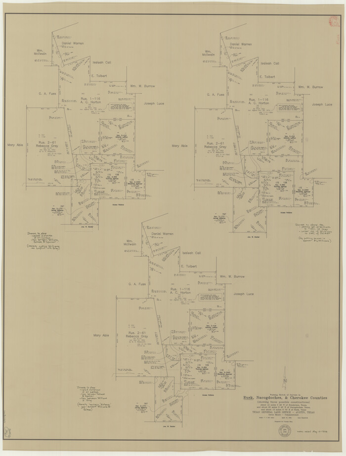
Rusk County Working Sketch 34
1994
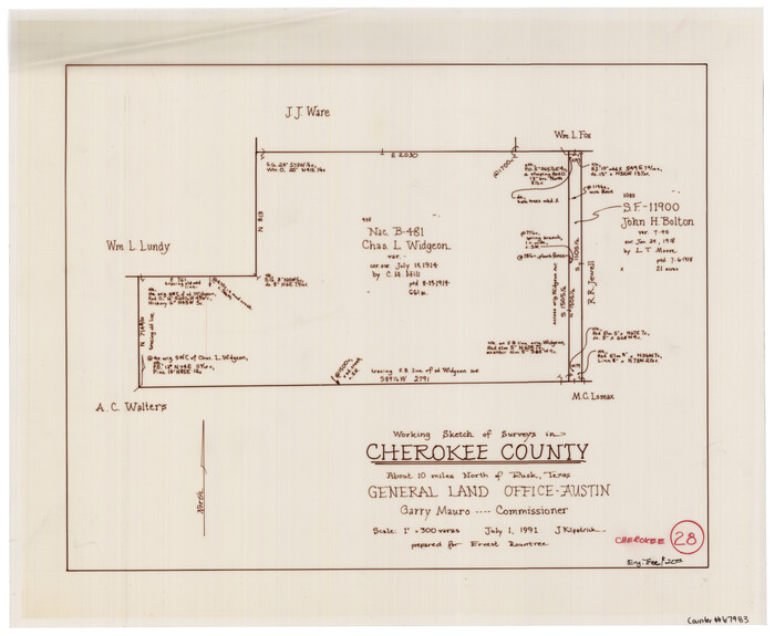
Cherokee County Working Sketch 28
1991

Cherokee County Working Sketch 27
1982

Cherokee County Sketch File 37
1978
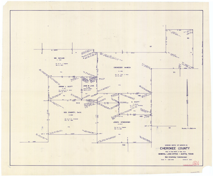
Cherokee County Working Sketch 26
1977
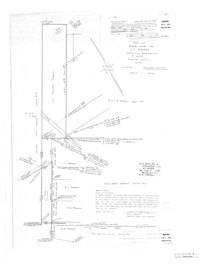
Cherokee County Rolled Sketch 4
1972

Cherokee County Working Sketch 25
1972

Cherokee County Working Sketch 24
1972
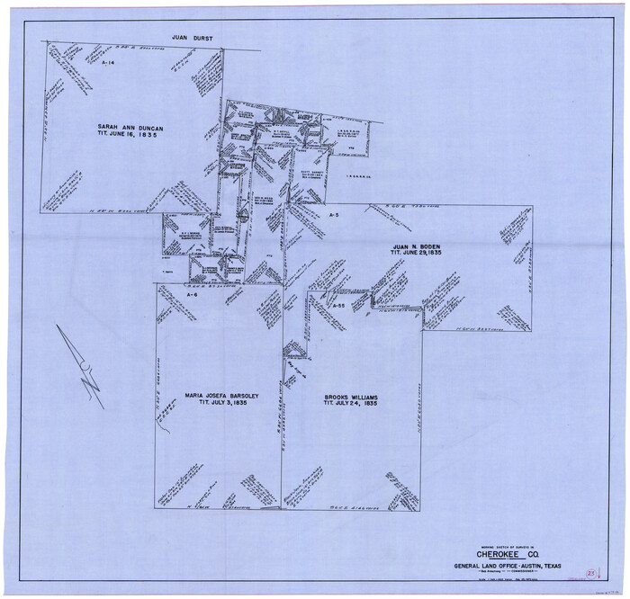
Cherokee County Working Sketch 23
1972
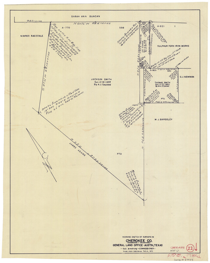
Cherokee County Working Sketch 22
1972

Cherokee County Working Sketch 21
1969
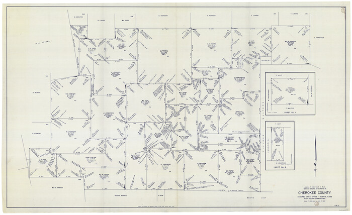
Cherokee County Working Sketch 20
1967
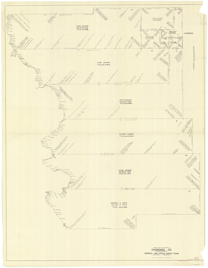
Cherokee County Working Sketch 19
1967
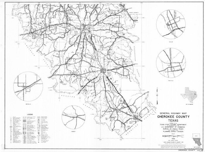
General Highway Map, Cherokee County, Texas
1961
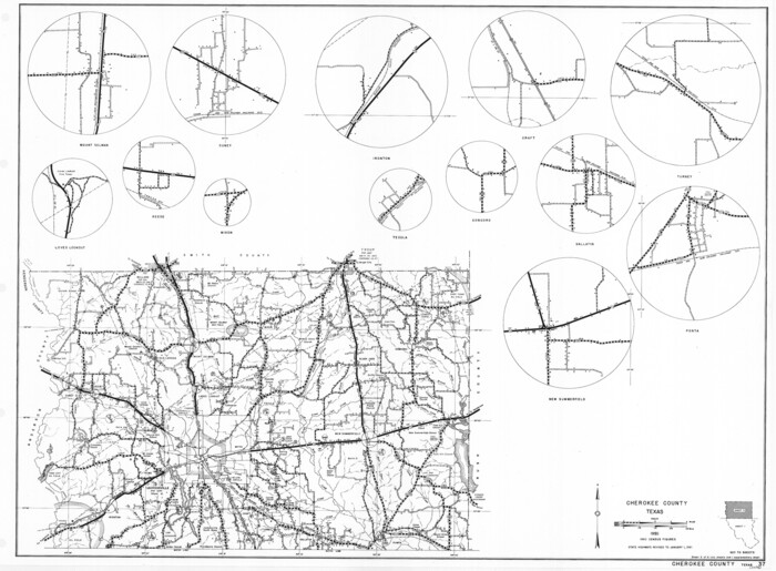
General Highway Map, Cherokee County, Texas
1961
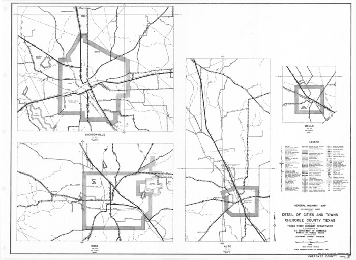
General Highway Map. Detail of Cities and Towns in Cherokee County, Texas [Jacksonville, Rusk, Alto, Wells, and vicinities of these cities]
1961
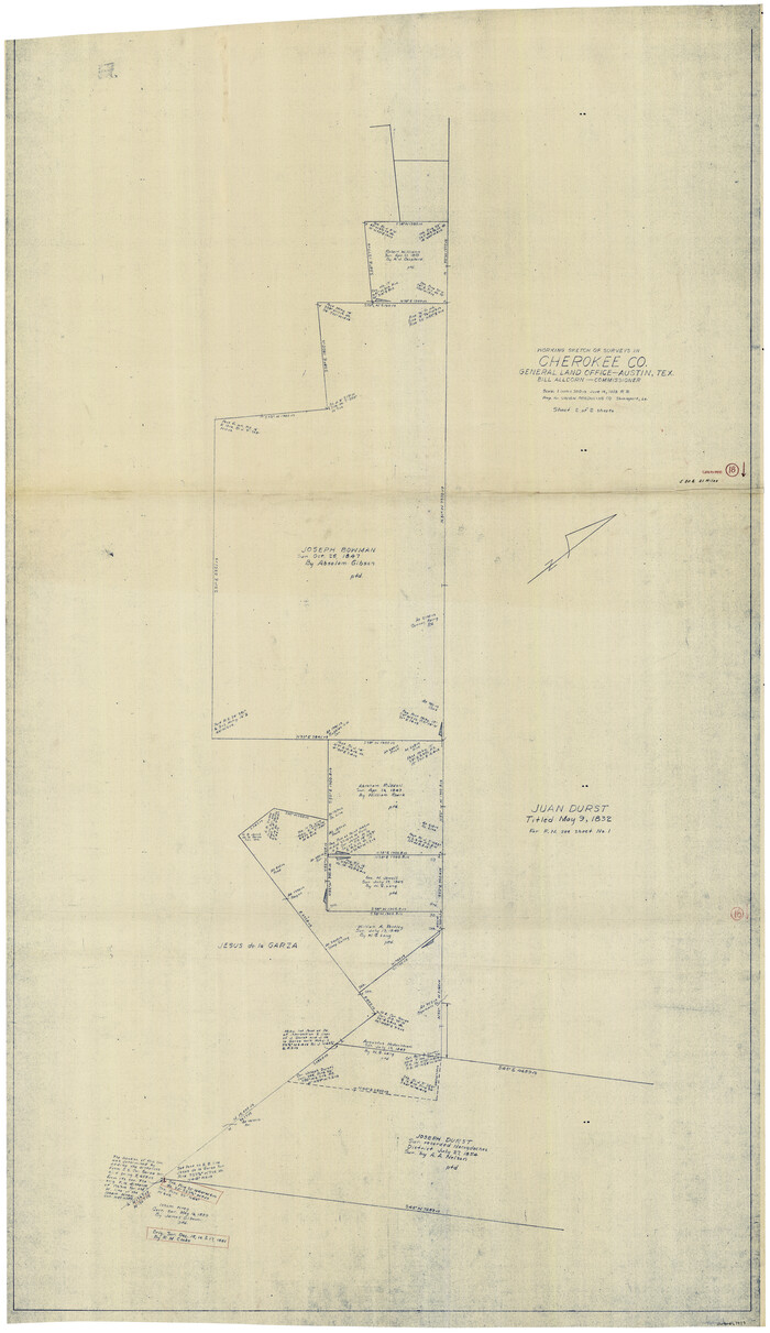
Cherokee County Working Sketch 18
1958
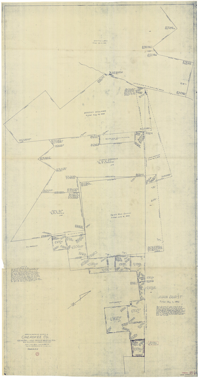
Cherokee County Working Sketch 17
1958

Cherokee County Working Sketch 16
1958
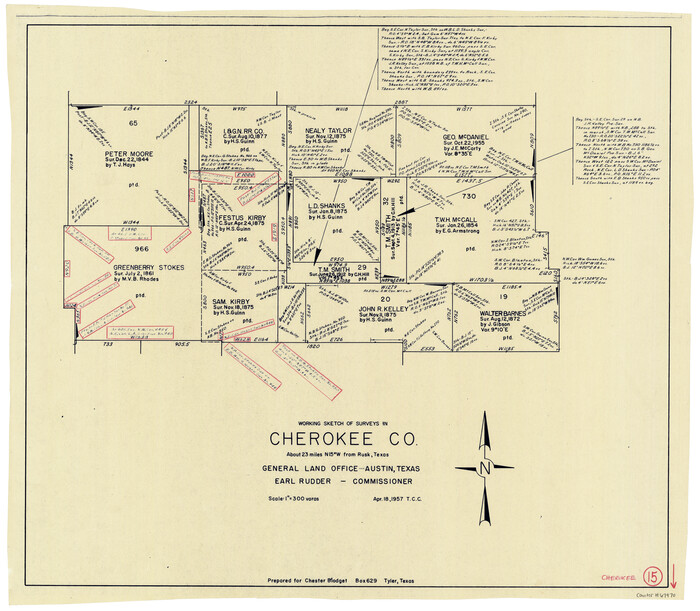
Cherokee County Working Sketch 15
1957
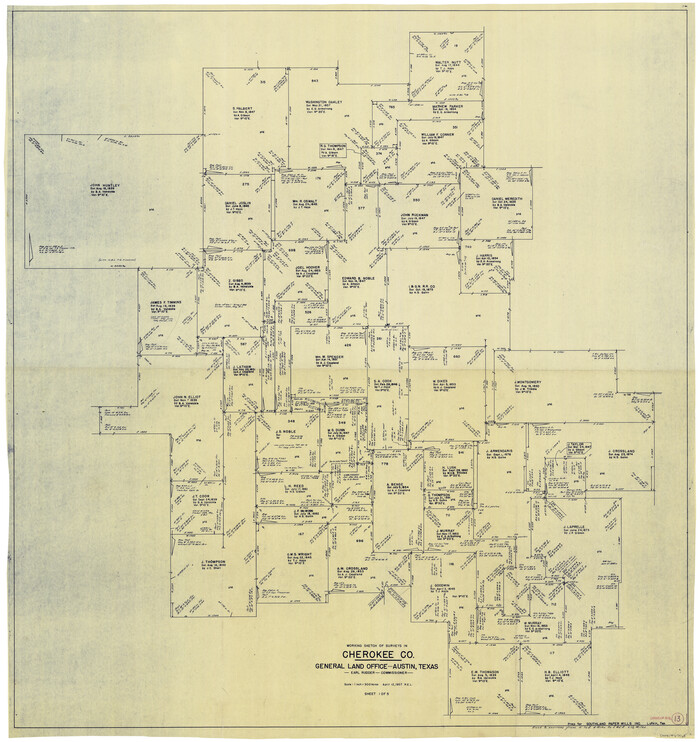
Cherokee County Working Sketch 13
1957
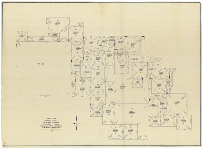
Cherokee County Working Sketch 14
1957
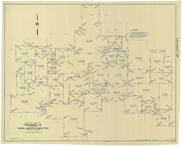
Cherokee County Working Sketch 12
1957
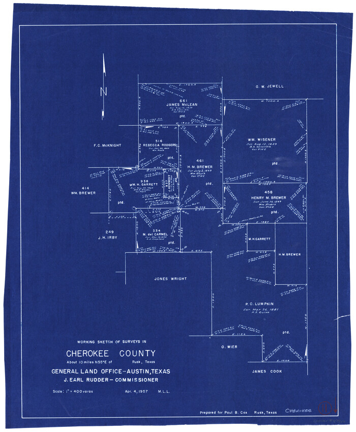
Cherokee County Working Sketch 11
1957
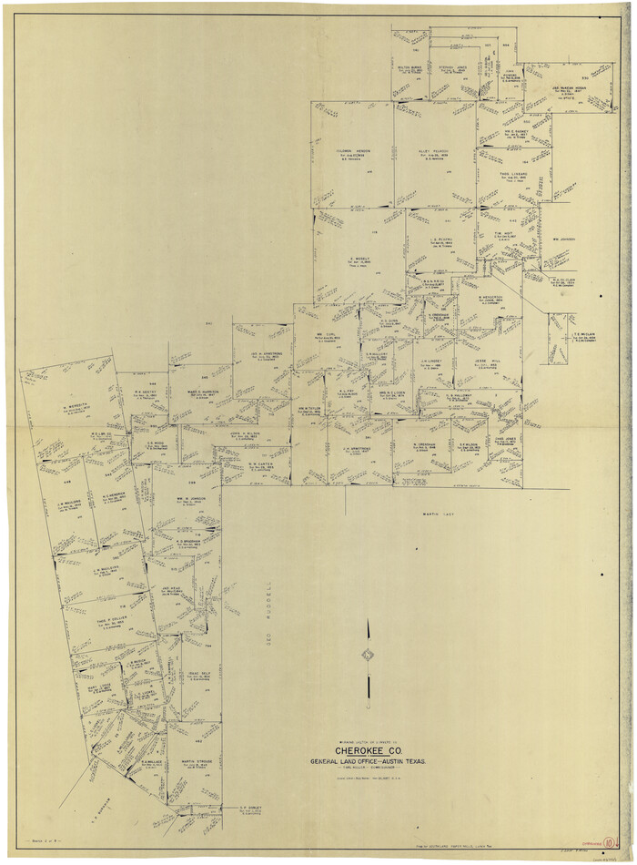
Cherokee County Working Sketch 10
1957
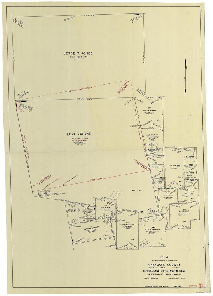
Cherokee County Working Sketch 9
1957
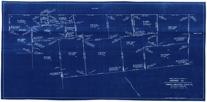
Cherokee County Working Sketch 8
1956
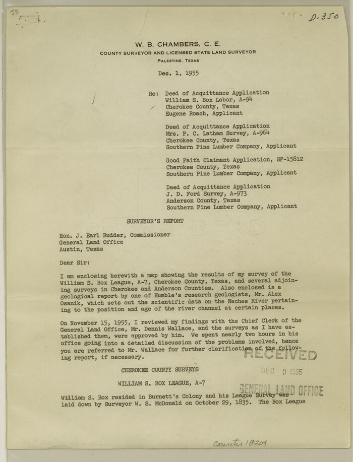
Cherokee County Sketch File 35
1955
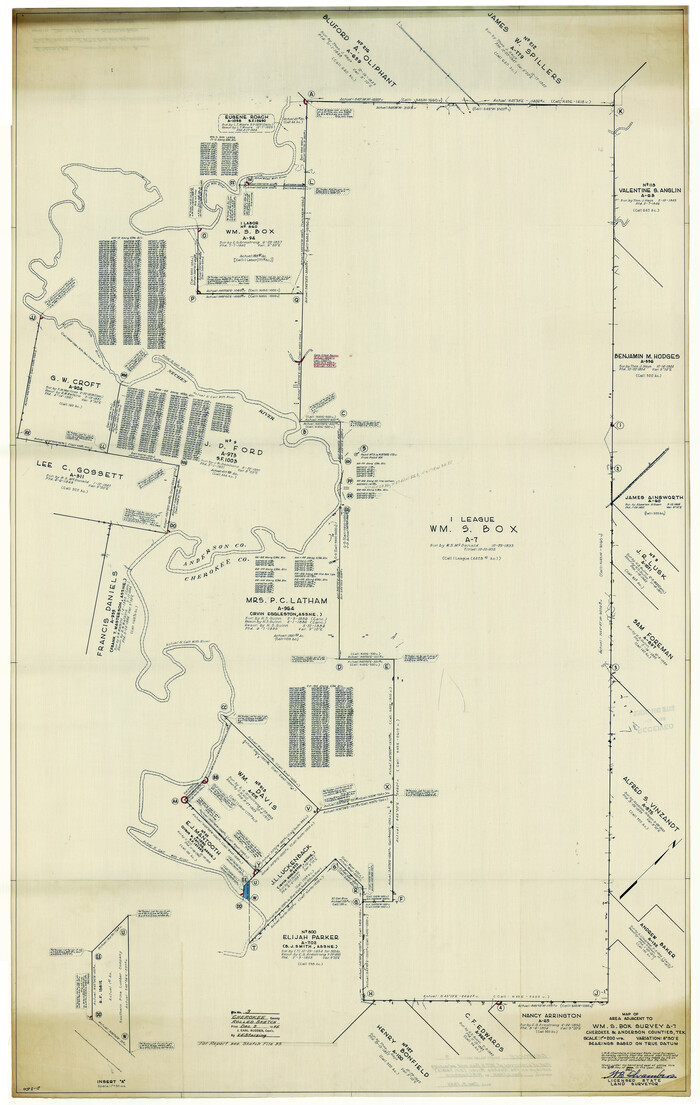
Cherokee County Rolled Sketch 3
1955
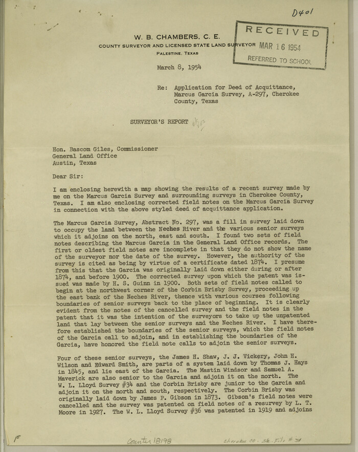
Cherokee County Sketch File 34
1954

Rusk County Working Sketch 34
1994
-
Size
43.5 x 33.1 inches
-
Map/Doc
63671
-
Creation Date
1994

Cherokee County Working Sketch 28
1991
-
Size
13.7 x 16.8 inches
-
Map/Doc
67983
-
Creation Date
1991

Cherokee County Working Sketch 27
1982
-
Size
42.9 x 59.1 inches
-
Map/Doc
67982
-
Creation Date
1982

Cherokee County Sketch File 37
1978
-
Size
11.2 x 8.7 inches
-
Map/Doc
18225
-
Creation Date
1978

Cherokee County Working Sketch 26
1977
-
Size
28.9 x 34.9 inches
-
Map/Doc
67981
-
Creation Date
1977

Cherokee County Rolled Sketch 4
1972
-
Size
30.7 x 23.6 inches
-
Map/Doc
5436
-
Creation Date
1972

Cherokee County Working Sketch 25
1972
-
Size
25.1 x 45.5 inches
-
Map/Doc
67980
-
Creation Date
1972

Cherokee County Working Sketch 24
1972
-
Size
37.2 x 38.8 inches
-
Map/Doc
67979
-
Creation Date
1972

Cherokee County Working Sketch 23
1972
-
Size
44.4 x 46.9 inches
-
Map/Doc
67978
-
Creation Date
1972

Cherokee County Working Sketch 22
1972
-
Size
24.0 x 19.2 inches
-
Map/Doc
67977
-
Creation Date
1972

Cherokee County Working Sketch 21
1969
-
Size
37.6 x 57.0 inches
-
Map/Doc
67976
-
Creation Date
1969

Cherokee County Working Sketch 20
1967
-
Size
37.6 x 61.1 inches
-
Map/Doc
67975
-
Creation Date
1967

Cherokee County Working Sketch 19
1967
-
Size
64.1 x 49.2 inches
-
Map/Doc
67974
-
Creation Date
1967

General Highway Map, Cherokee County, Texas
1961
-
Size
18.2 x 24.6 inches
-
Map/Doc
79405
-
Creation Date
1961

General Highway Map, Cherokee County, Texas
1961
-
Size
18.2 x 24.7 inches
-
Map/Doc
79406
-
Creation Date
1961
![79407, General Highway Map. Detail of Cities and Towns in Cherokee County, Texas [Jacksonville, Rusk, Alto, Wells, and vicinities of these cities], Texas State Library and Archives](https://historictexasmaps.com/wmedia_w700/maps/79407.tif.jpg)
General Highway Map. Detail of Cities and Towns in Cherokee County, Texas [Jacksonville, Rusk, Alto, Wells, and vicinities of these cities]
1961
-
Size
18.2 x 24.9 inches
-
Map/Doc
79407
-
Creation Date
1961

Cherokee County Working Sketch 18
1958
-
Size
74.6 x 43.6 inches
-
Map/Doc
67973
-
Creation Date
1958

Cherokee County Working Sketch 17
1958
-
Size
81.6 x 43.3 inches
-
Map/Doc
67972
-
Creation Date
1958

Cherokee County Working Sketch 16
1958
-
Size
21.9 x 22.5 inches
-
Map/Doc
67971
-
Creation Date
1958

Cherokee County Working Sketch 15
1957
-
Size
22.5 x 26.1 inches
-
Map/Doc
67970
-
Creation Date
1957

Cherokee County Working Sketch 13
1957
-
Size
46.5 x 43.8 inches
-
Map/Doc
67968
-
Creation Date
1957

Cherokee County Working Sketch 14
1957
-
Size
44.9 x 61.1 inches
-
Map/Doc
67969
-
Creation Date
1957

Cherokee County Working Sketch 12
1957
-
Size
36.6 x 46.0 inches
-
Map/Doc
67967
-
Creation Date
1957

Cherokee County Working Sketch 11
1957
-
Size
24.3 x 20.2 inches
-
Map/Doc
67966
-
Creation Date
1957

Cherokee County Working Sketch 10
1957
-
Size
58.1 x 43.2 inches
-
Map/Doc
67965
-
Creation Date
1957

Cherokee County Working Sketch 9
1957
-
Size
46.9 x 34.0 inches
-
Map/Doc
67964
-
Creation Date
1957

Cherokee County Working Sketch 8
1956
-
Size
22.0 x 45.2 inches
-
Map/Doc
67963
-
Creation Date
1956

Cherokee County Sketch File 35
1955
-
Size
11.5 x 8.8 inches
-
Map/Doc
18204
-
Creation Date
1955

Cherokee County Rolled Sketch 3
1955
-
Size
55.5 x 35.2 inches
-
Map/Doc
8597
-
Creation Date
1955

Cherokee County Sketch File 34
1954
-
Size
11.2 x 8.9 inches
-
Map/Doc
18198
-
Creation Date
1954