[Surveys in Cherokee County]
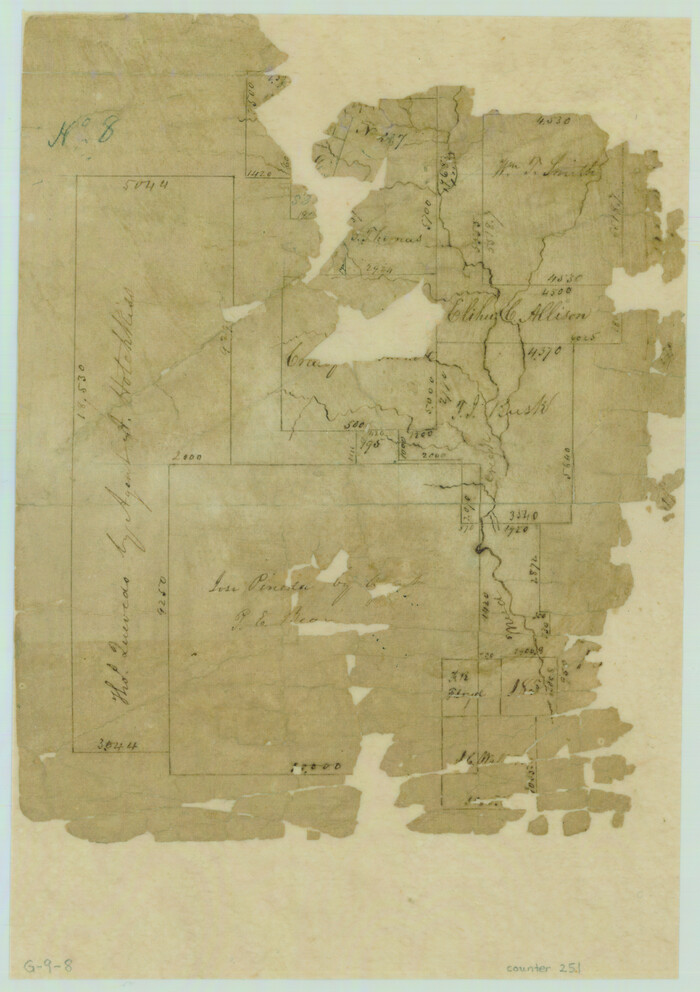
Print $2.00
- Digital $50.00
[Surveys in Cherokee County]
Size: 8.0 x 5.6 inches
251
[Surveys along Mud Creek, Nacogdoches District]
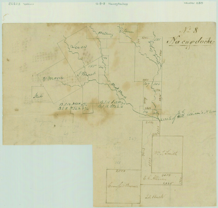
Print $2.00
- Digital $50.00
[Surveys along Mud Creek, Nacogdoches District]
Size: 7.7 x 8.1 inches
250
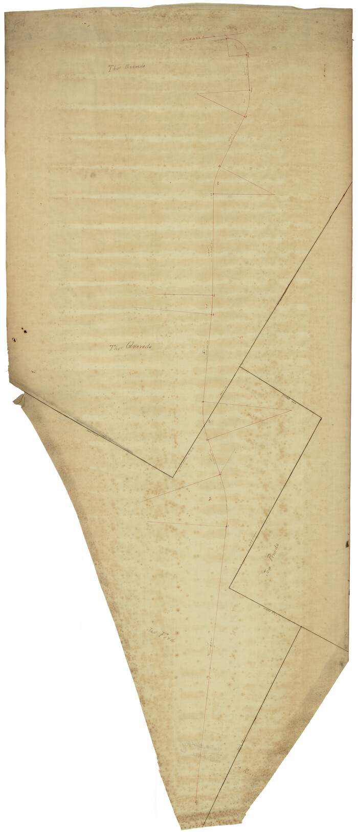
[Surveys South of the Levi Jordan Title, Southwest of the Neches River]
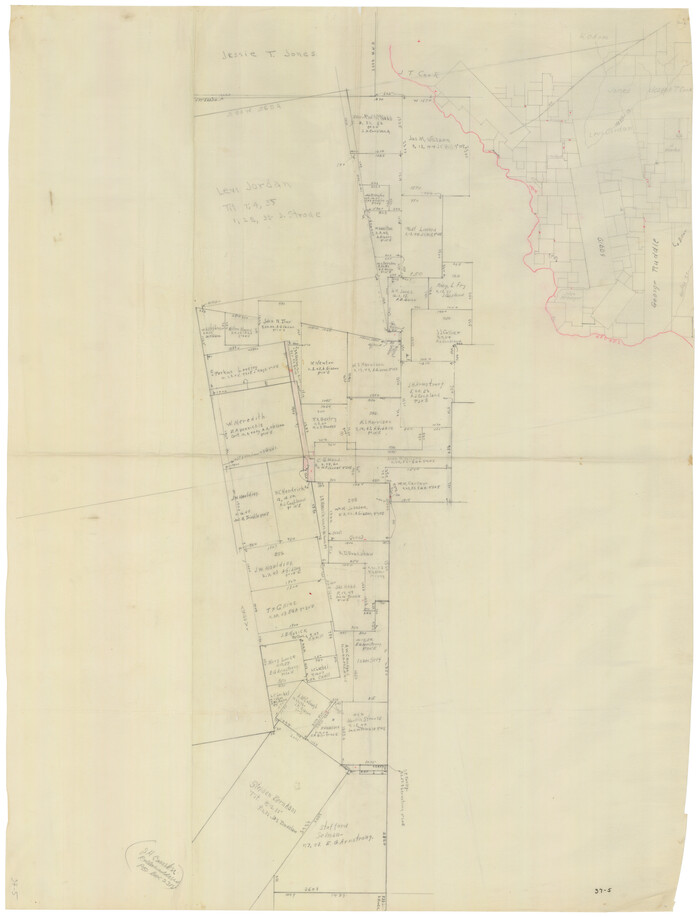
Print $20.00
- Digital $50.00
[Surveys South of the Levi Jordan Title, Southwest of the Neches River]
Size: 33.4 x 43.3 inches
90424
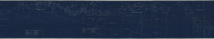
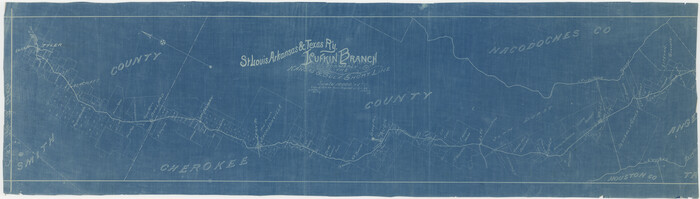
[St. L. S-W. Ry. of Texas Map of Lufkin Branch in Cherokee County Texas]
Print $40.00
- Digital $50.00
[St. L. S-W. Ry. of Texas Map of Lufkin Branch in Cherokee County Texas]
1912
Size: 22.8 x 121.4 inches
64017
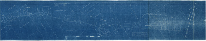
[St. L. S-W. Ry. of Texas Map of Lufkin Branch in Cherokee County Texas]
Print $40.00
- Digital $50.00
[St. L. S-W. Ry. of Texas Map of Lufkin Branch in Cherokee County Texas]
1912
Size: 22.3 x 121.1 inches
64018
[St. L. S-W. Ry. of Texas Map of Lufkin Branch in Angelina County, Texas]
Print $40.00
- Digital $50.00
[St. L. S-W. Ry. of Texas Map of Lufkin Branch in Angelina County, Texas]
1913
Size: 25.4 x 121.3 inches
64561
[St. L. S-W. Ry. Of Texas Map of Lufkin Branch in Cherokee County Texas]
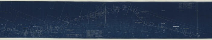
Print $40.00
- Digital $50.00
[St. L. S-W. Ry. Of Texas Map of Lufkin Branch in Cherokee County Texas]
1912
Size: 23.4 x 124.3 inches
64021
[St. L. S-W. Ry. Of Texas Map of Lufkin Branch in Cherokee County Texas]
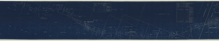
Print $40.00
- Digital $50.00
[St. L. S-W. Ry. Of Texas Map of Lufkin Branch in Cherokee County Texas]
1912
Size: 23.1 x 122.7 inches
64022
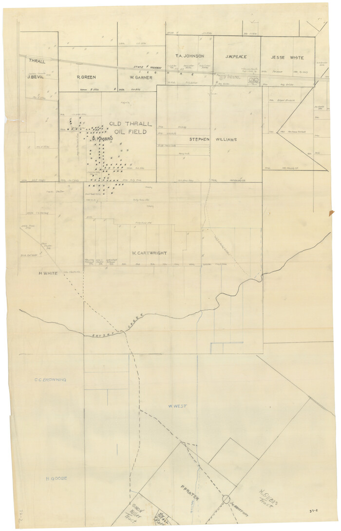
[Sketch showing surveys near Brushy Creek and Old Thrall Oil Field]
Print $20.00
- Digital $50.00
[Sketch showing surveys near Brushy Creek and Old Thrall Oil Field]
Size: 27.4 x 42.6 inches
90421
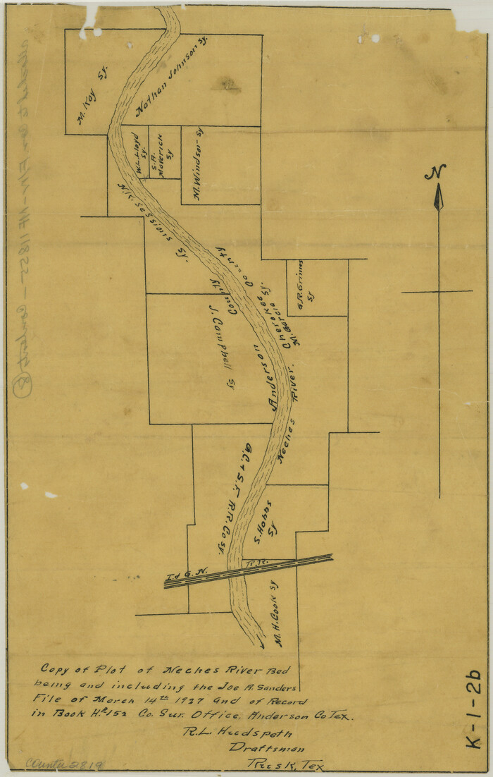
[Sketch for Mineral Application 17237 / Mineral File 11855 - Neches River, Joe A. Sanders]
Print $2.00
- Digital $50.00
[Sketch for Mineral Application 17237 / Mineral File 11855 - Neches River, Joe A. Sanders]
1927
Size: 12.8 x 8.2 inches
2819
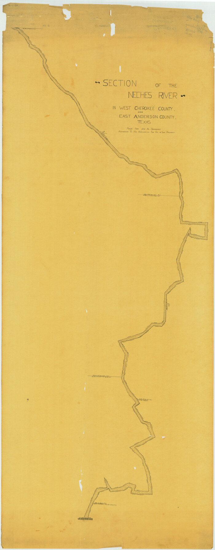
[Sketch for Mineral Application 17237 / Mineral File 11855 - Neches River, Joe A. Sanders]
Print $40.00
- Digital $50.00
[Sketch for Mineral Application 17237 / Mineral File 11855 - Neches River, Joe A. Sanders]
1927
Size: 78.2 x 30.7 inches
65686
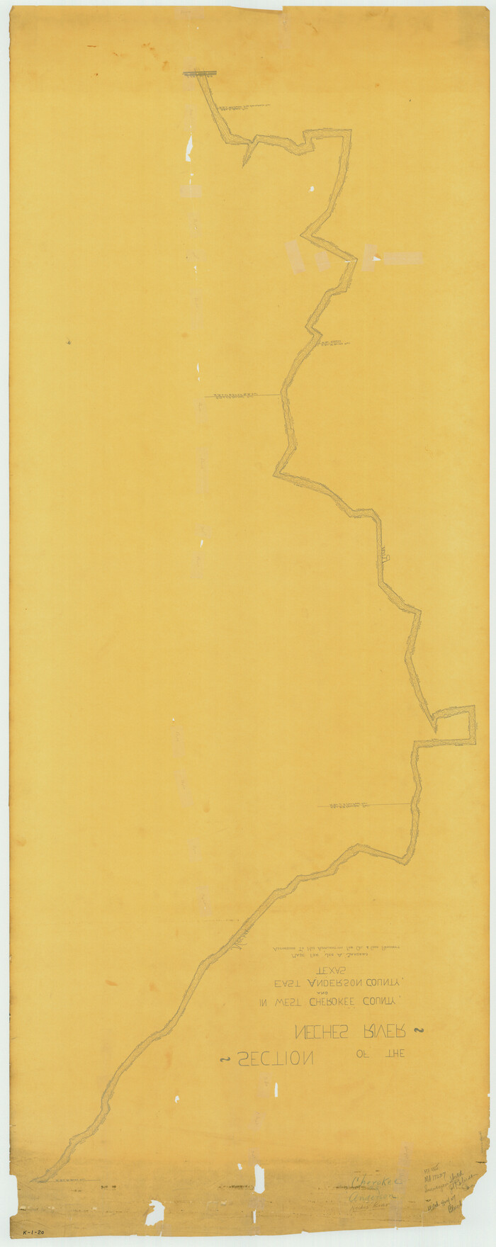
[Sketch for Mineral Application 17237 / Mineral File 11855 - Neches River, Joe A. Sanders]
Print $40.00
- Digital $50.00
[Sketch for Mineral Application 17237 / Mineral File 11855 - Neches River, Joe A. Sanders]
1927
Size: 78.5 x 31.2 inches
65687
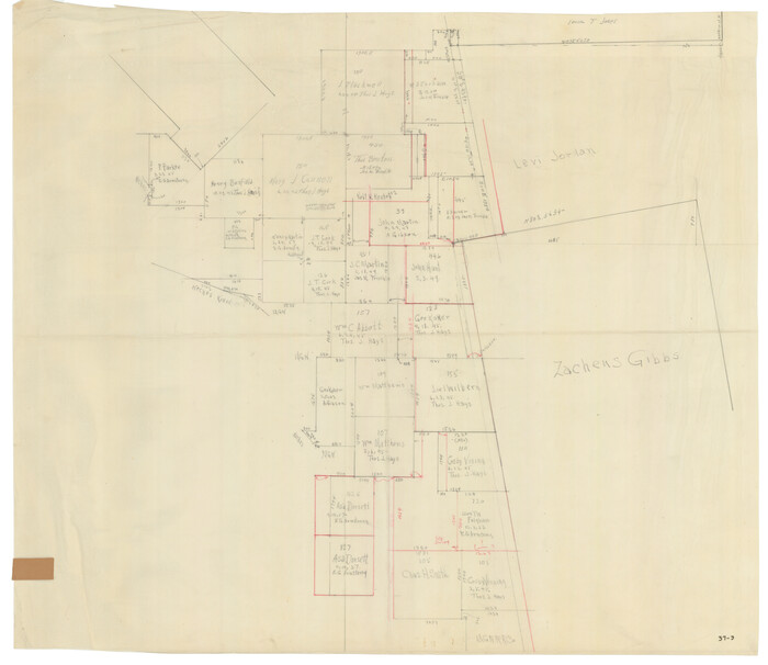
[Location St. L. & S. W. R. R. Through Cherokee County]
Print $40.00
- Digital $50.00
[Location St. L. & S. W. R. R. Through Cherokee County]
Size: 92.0 x 39.9 inches
64042
[Location St. L. & S. W. R. R. Through Cherokee County]
Print $40.00
- Digital $50.00
[Location St. L. & S. W. R. R. Through Cherokee County]
Size: 39.2 x 122.1 inches
64044
[Location St. L. & S. W. R. R. Through Cherokee County]
Print $40.00
- Digital $50.00
[Location St. L. & S. W. R. R. Through Cherokee County]
Size: 38.7 x 76.6 inches
64045
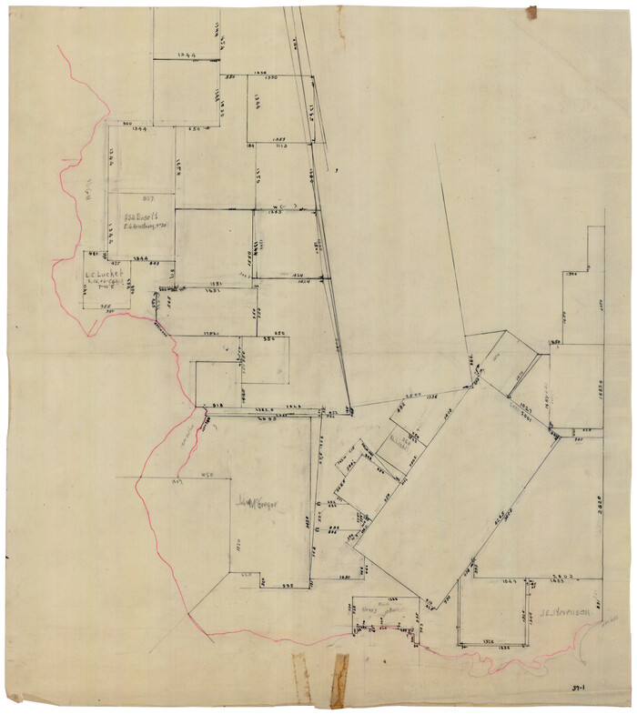
[J. Blackwell survey 150, E. Parker, Asa Dorsett survey 827 and surrounding surveys]
Print $20.00
- Digital $50.00
[J. Blackwell survey 150, E. Parker, Asa Dorsett survey 827 and surrounding surveys]
Size: 35.0 x 30.3 inches
90422
[East Neches River]
Print $20.00
- Digital $50.00
[East Neches River]
Size: 25.8 x 29.3 inches
90420
[Cotton Belt] St. Louis Arkansas & Texas R'y, Lufkin Branch, Formely the Kansas & Gulf Short Line
Print $20.00
- Digital $50.00
[Cotton Belt] St. Louis Arkansas & Texas R'y, Lufkin Branch, Formely the Kansas & Gulf Short Line
1888
Size: 11.2 x 39.5 inches
64371
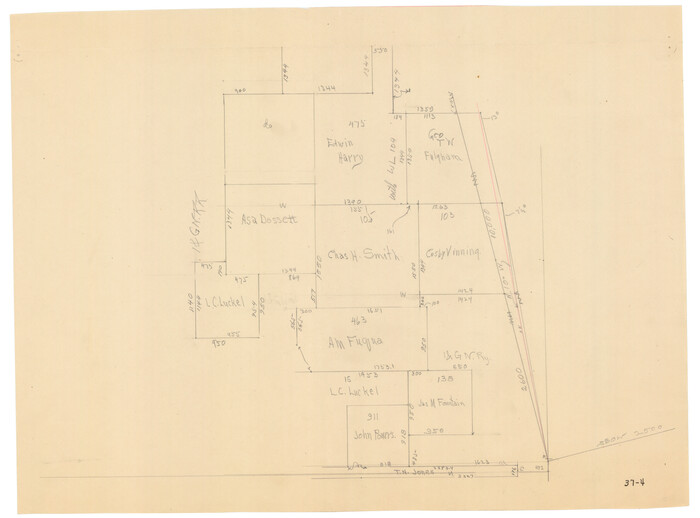
[Area around Edwin Harry survey 475, Chas. H. Smith survey 105 and A. M Fuqua survey 463]
Print $20.00
- Digital $50.00
[Area around Edwin Harry survey 475, Chas. H. Smith survey 105 and A. M Fuqua survey 463]
Size: 21.0 x 15.6 inches
90423
State Prison System, Cherokee County

Print $20.00
- Digital $50.00
State Prison System, Cherokee County
Size: 15.7 x 33.1 inches
73560
State Prison System, Cherokee County

Print $20.00
- Digital $50.00
State Prison System, Cherokee County
Size: 17.9 x 13.8 inches
73561
State Prison Lands Transferred to A&M College, Forest Division, Cherokee County

Print $4.00
- Digital $50.00
State Prison Lands Transferred to A&M College, Forest Division, Cherokee County
1932
Size: 11.1 x 20.1 inches
65086
St. Louis, Arkansas & Texas R'y, Lufkin Branch, Formerly the Kansas & Gulf Short Line

Print $20.00
- Digital $50.00
St. Louis, Arkansas & Texas R'y, Lufkin Branch, Formerly the Kansas & Gulf Short Line
1888
Size: 10.5 x 42.8 inches
64271
St. L. S.-W. Ry. of Texas, Map of Lufkin Branch in Smith County, Texas

Print $40.00
- Digital $50.00
St. L. S.-W. Ry. of Texas, Map of Lufkin Branch in Smith County, Texas
1912
Size: 24.3 x 122.9 inches
64692
St. L. S-W. Ry. of Texas Map of Lufkin Branch in Cherokee County Texas

Print $40.00
- Digital $50.00
St. L. S-W. Ry. of Texas Map of Lufkin Branch in Cherokee County Texas
1912
Size: 23.4 x 121.6 inches
64016
St. L. S-W. Ry. of Texas Map of Lufkin Branch in Cherokee County Texas

Print $40.00
- Digital $50.00
St. L. S-W. Ry. of Texas Map of Lufkin Branch in Cherokee County Texas
1912
Size: 22.7 x 64.3 inches
64019
St. L. S-W. Ry. of Texas Map of Lufkin Branch in Cherokee County Texas

Print $40.00
- Digital $50.00
St. L. S-W. Ry. of Texas Map of Lufkin Branch in Cherokee County Texas
1912
Size: 23.3 x 122.0 inches
64020
St. L. S-W. Ry. of Texas Map of Lufkin Branch in Cherokee County Texas

Print $20.00
- Digital $50.00
St. L. S-W. Ry. of Texas Map of Lufkin Branch in Cherokee County Texas
1912
Size: 22.0 x 17.8 inches
64790
Smith County Sketch File 10

Print $6.00
Smith County Sketch File 10
1850
Size: 6.8 x 5.1 inches
36765
Salina Road, Hays' District, Nacogdoches County

Print $2.00
- Digital $50.00
Salina Road, Hays' District, Nacogdoches County
Size: 5.1 x 6.2 inches
174
[Surveys in Cherokee County]
Print $2.00
- Digital $50.00
[Surveys in Cherokee County]
-
Size
8.0 x 5.6 inches
-
Map/Doc
251
[Surveys along Mud Creek, Nacogdoches District]
Print $2.00
- Digital $50.00
[Surveys along Mud Creek, Nacogdoches District]
-
Size
7.7 x 8.1 inches
-
Map/Doc
250
[Surveys South of the Levi Jordan Title, Southwest of the Neches River]
Print $20.00
- Digital $50.00
[Surveys South of the Levi Jordan Title, Southwest of the Neches River]
-
Size
33.4 x 43.3 inches
-
Map/Doc
90424
[St. L. S-W. Ry. of Texas Map of Lufkin Branch in Cherokee County Texas]
Print $40.00
- Digital $50.00
[St. L. S-W. Ry. of Texas Map of Lufkin Branch in Cherokee County Texas]
1912
-
Size
22.8 x 121.4 inches
-
Map/Doc
64017
-
Creation Date
1912
[St. L. S-W. Ry. of Texas Map of Lufkin Branch in Cherokee County Texas]
Print $40.00
- Digital $50.00
[St. L. S-W. Ry. of Texas Map of Lufkin Branch in Cherokee County Texas]
1912
-
Size
22.3 x 121.1 inches
-
Map/Doc
64018
-
Creation Date
1912
[St. L. S-W. Ry. of Texas Map of Lufkin Branch in Angelina County, Texas]
Print $40.00
- Digital $50.00
[St. L. S-W. Ry. of Texas Map of Lufkin Branch in Angelina County, Texas]
1913
-
Size
25.4 x 121.3 inches
-
Map/Doc
64561
-
Creation Date
1913
[St. L. S-W. Ry. Of Texas Map of Lufkin Branch in Cherokee County Texas]
Print $40.00
- Digital $50.00
[St. L. S-W. Ry. Of Texas Map of Lufkin Branch in Cherokee County Texas]
1912
-
Size
23.4 x 124.3 inches
-
Map/Doc
64021
-
Creation Date
1912
[St. L. S-W. Ry. Of Texas Map of Lufkin Branch in Cherokee County Texas]
Print $40.00
- Digital $50.00
[St. L. S-W. Ry. Of Texas Map of Lufkin Branch in Cherokee County Texas]
1912
-
Size
23.1 x 122.7 inches
-
Map/Doc
64022
-
Creation Date
1912
[Sketch showing surveys near Brushy Creek and Old Thrall Oil Field]
Print $20.00
- Digital $50.00
[Sketch showing surveys near Brushy Creek and Old Thrall Oil Field]
-
Size
27.4 x 42.6 inches
-
Map/Doc
90421
[Sketch for Mineral Application 17237 / Mineral File 11855 - Neches River, Joe A. Sanders]
Print $2.00
- Digital $50.00
[Sketch for Mineral Application 17237 / Mineral File 11855 - Neches River, Joe A. Sanders]
1927
-
Size
12.8 x 8.2 inches
-
Map/Doc
2819
-
Creation Date
1927
[Sketch for Mineral Application 17237 / Mineral File 11855 - Neches River, Joe A. Sanders]
Print $40.00
- Digital $50.00
[Sketch for Mineral Application 17237 / Mineral File 11855 - Neches River, Joe A. Sanders]
1927
-
Size
78.2 x 30.7 inches
-
Map/Doc
65686
-
Creation Date
1927
[Sketch for Mineral Application 17237 / Mineral File 11855 - Neches River, Joe A. Sanders]
Print $40.00
- Digital $50.00
[Sketch for Mineral Application 17237 / Mineral File 11855 - Neches River, Joe A. Sanders]
1927
-
Size
78.5 x 31.2 inches
-
Map/Doc
65687
-
Creation Date
1927
[Location St. L. & S. W. R. R. Through Cherokee County]
Print $40.00
- Digital $50.00
[Location St. L. & S. W. R. R. Through Cherokee County]
-
Size
92.0 x 39.9 inches
-
Map/Doc
64042
[Location St. L. & S. W. R. R. Through Cherokee County]
Print $40.00
- Digital $50.00
[Location St. L. & S. W. R. R. Through Cherokee County]
-
Size
39.2 x 122.1 inches
-
Map/Doc
64044
[Location St. L. & S. W. R. R. Through Cherokee County]
Print $40.00
- Digital $50.00
[Location St. L. & S. W. R. R. Through Cherokee County]
-
Size
38.7 x 76.6 inches
-
Map/Doc
64045
[J. Blackwell survey 150, E. Parker, Asa Dorsett survey 827 and surrounding surveys]
Print $20.00
- Digital $50.00
[J. Blackwell survey 150, E. Parker, Asa Dorsett survey 827 and surrounding surveys]
-
Size
35.0 x 30.3 inches
-
Map/Doc
90422
[East Neches River]
Print $20.00
- Digital $50.00
[East Neches River]
-
Size
25.8 x 29.3 inches
-
Map/Doc
90420
[Cotton Belt] St. Louis Arkansas & Texas R'y, Lufkin Branch, Formely the Kansas & Gulf Short Line
Print $20.00
- Digital $50.00
[Cotton Belt] St. Louis Arkansas & Texas R'y, Lufkin Branch, Formely the Kansas & Gulf Short Line
1888
-
Size
11.2 x 39.5 inches
-
Map/Doc
64371
-
Creation Date
1888
[Area around Edwin Harry survey 475, Chas. H. Smith survey 105 and A. M Fuqua survey 463]
Print $20.00
- Digital $50.00
[Area around Edwin Harry survey 475, Chas. H. Smith survey 105 and A. M Fuqua survey 463]
-
Size
21.0 x 15.6 inches
-
Map/Doc
90423
State Prison System, Cherokee County
Print $20.00
- Digital $50.00
State Prison System, Cherokee County
-
Size
15.7 x 33.1 inches
-
Map/Doc
73560
State Prison System, Cherokee County
Print $20.00
- Digital $50.00
State Prison System, Cherokee County
-
Size
17.9 x 13.8 inches
-
Map/Doc
73561
State Prison Lands Transferred to A&M College, Forest Division, Cherokee County
Print $4.00
- Digital $50.00
State Prison Lands Transferred to A&M College, Forest Division, Cherokee County
1932
-
Size
11.1 x 20.1 inches
-
Map/Doc
65086
-
Creation Date
1932
St. Louis, Arkansas & Texas R'y, Lufkin Branch, Formerly the Kansas & Gulf Short Line
Print $20.00
- Digital $50.00
St. Louis, Arkansas & Texas R'y, Lufkin Branch, Formerly the Kansas & Gulf Short Line
1888
-
Size
10.5 x 42.8 inches
-
Map/Doc
64271
-
Creation Date
1888
St. L. S.-W. Ry. of Texas, Map of Lufkin Branch in Smith County, Texas
Print $40.00
- Digital $50.00
St. L. S.-W. Ry. of Texas, Map of Lufkin Branch in Smith County, Texas
1912
-
Size
24.3 x 122.9 inches
-
Map/Doc
64692
-
Creation Date
1912
St. L. S-W. Ry. of Texas Map of Lufkin Branch in Cherokee County Texas
Print $40.00
- Digital $50.00
St. L. S-W. Ry. of Texas Map of Lufkin Branch in Cherokee County Texas
1912
-
Size
23.4 x 121.6 inches
-
Map/Doc
64016
-
Creation Date
1912
St. L. S-W. Ry. of Texas Map of Lufkin Branch in Cherokee County Texas
Print $40.00
- Digital $50.00
St. L. S-W. Ry. of Texas Map of Lufkin Branch in Cherokee County Texas
1912
-
Size
22.7 x 64.3 inches
-
Map/Doc
64019
-
Creation Date
1912
St. L. S-W. Ry. of Texas Map of Lufkin Branch in Cherokee County Texas
Print $40.00
- Digital $50.00
St. L. S-W. Ry. of Texas Map of Lufkin Branch in Cherokee County Texas
1912
-
Size
23.3 x 122.0 inches
-
Map/Doc
64020
-
Creation Date
1912
St. L. S-W. Ry. of Texas Map of Lufkin Branch in Cherokee County Texas
Print $20.00
- Digital $50.00
St. L. S-W. Ry. of Texas Map of Lufkin Branch in Cherokee County Texas
1912
-
Size
22.0 x 17.8 inches
-
Map/Doc
64790
-
Creation Date
1912
Smith County Sketch File 10
Print $6.00
Smith County Sketch File 10
1850
-
Size
6.8 x 5.1 inches
-
Map/Doc
36765
-
Creation Date
1850
Salina Road, Hays' District, Nacogdoches County
Print $2.00
- Digital $50.00
Salina Road, Hays' District, Nacogdoches County
-
Size
5.1 x 6.2 inches
-
Map/Doc
174