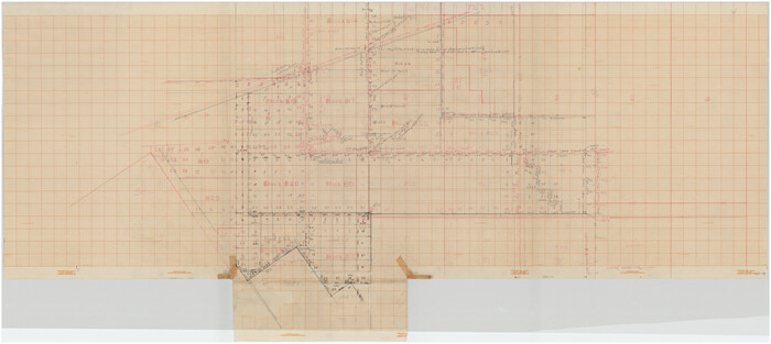
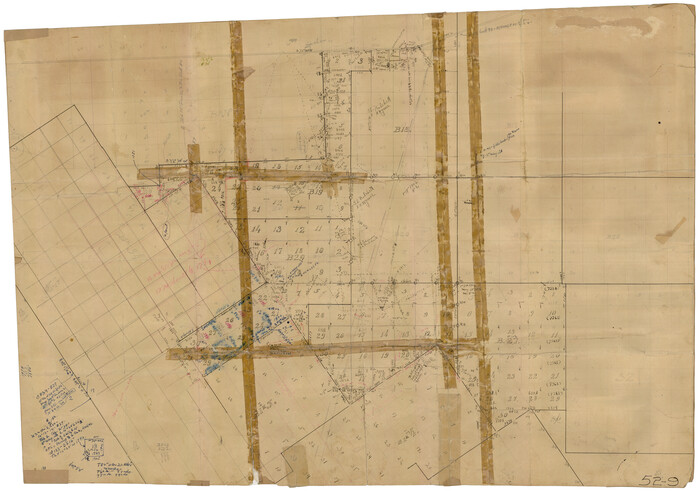
[Upton County Sketch]
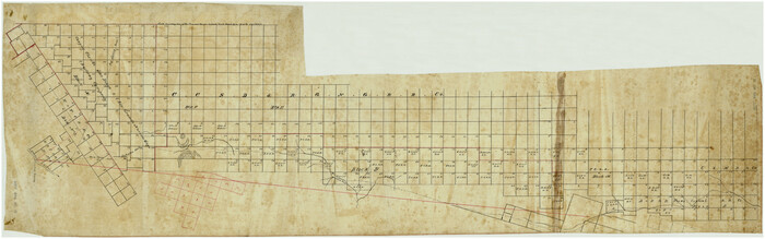
Print $40.00
- Digital $50.00
[Upton County Sketch]
Size: 19.2 x 60.3 inches
5043
[Upton County Sketch]
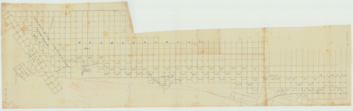
Print $40.00
- Digital $50.00
[Upton County Sketch]
Size: 19.1 x 60.8 inches
76176
[University Land in Loving, Ward, Winkler, Pecos, Crane, Ector, Upton, Crockett, Schleicher, Irion and Reagan Counties]
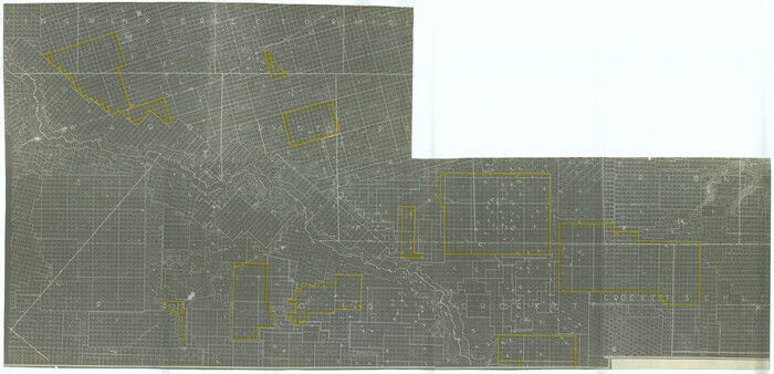
Print $40.00
- Digital $50.00
[University Land in Loving, Ward, Winkler, Pecos, Crane, Ector, Upton, Crockett, Schleicher, Irion and Reagan Counties]
1938
Size: 37.9 x 78.5 inches
2424
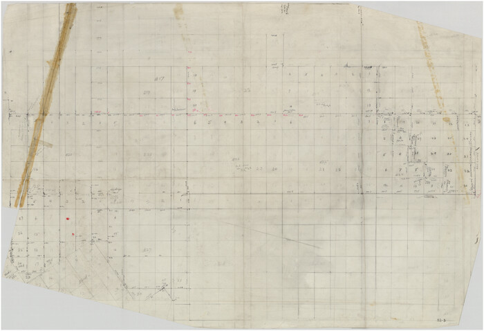
[T. & P. Surveys in Crane, Upton, Coke Counties]
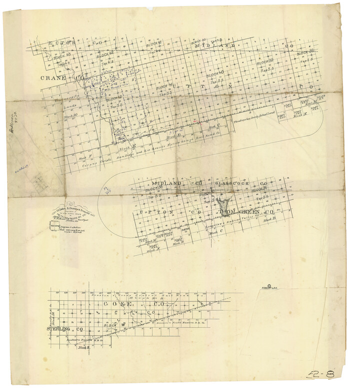
Print $20.00
- Digital $50.00
[T. & P. Surveys in Crane, Upton, Coke Counties]
Size: 19.2 x 21.2 inches
90464
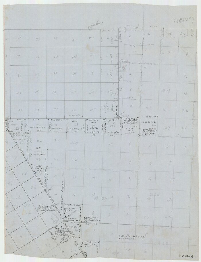
[T. & P. "B" Blocks, Tsp. 1S, Tsp. 2S, Tsp. 3S. And Tsp. 4S]
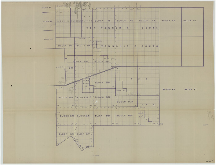
Print $40.00
- Digital $50.00
[T. & P. "B" Blocks, Tsp. 1S, Tsp. 2S, Tsp. 3S. And Tsp. 4S]
Size: 56.1 x 43.3 inches
89774
[South line of Blocks B24, B25, and B26]
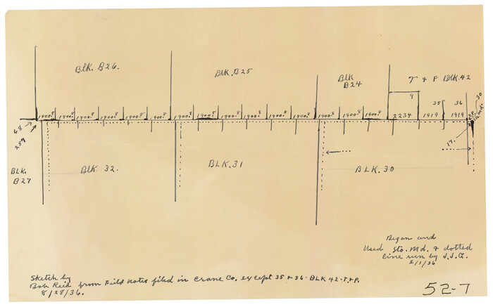
Print $2.00
- Digital $50.00
[South line of Blocks B24, B25, and B26]
1936
Size: 14.6 x 9.0 inches
90463
[Sketch showing unsurveyed land in West Texas as of 1902]
Print $20.00
- Digital $50.00
[Sketch showing unsurveyed land in West Texas as of 1902]
Size: 42.0 x 34.0 inches
89937
[Sketch showing T.&P. "B" Blocks in Tsp. 1S, Tsp. 2S, Tsp. 3S and Tsp. 4S]
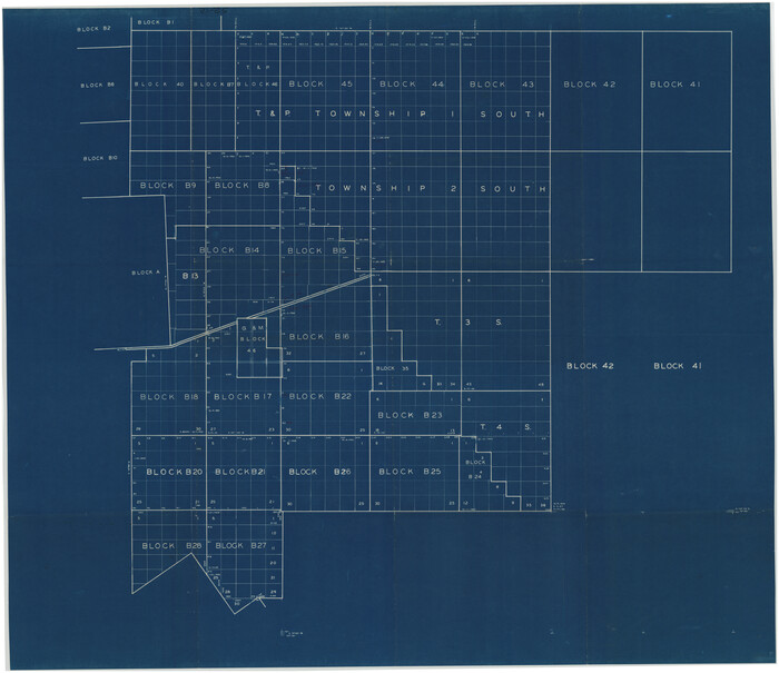
Print $40.00
- Digital $50.00
[Sketch showing T.&P. "B" Blocks in Tsp. 1S, Tsp. 2S, Tsp. 3S and Tsp. 4S]
Size: 49.4 x 42.5 inches
89747
[Sketch showing Blocks B17-B29 and vicinity]
Print $40.00
- Digital $50.00
[Sketch showing Blocks B17-B29 and vicinity]
Size: 61.8 x 28.6 inches
89732
[Sketch of "B" Blocks]

Print $40.00
- Digital $50.00
[Sketch of "B" Blocks]
Size: 61.7 x 38.1 inches
89749
[Pencil sketch showing blocks B17, B20-B28 and surrounding]
Print $40.00
- Digital $50.00
[Pencil sketch showing blocks B17, B20-B28 and surrounding]
Size: 58.5 x 40.0 inches
89734
[Parts of PSL Blocks B18, B19, B28, B20 and B29]
Print $20.00
- Digital $50.00
[Parts of PSL Blocks B18, B19, B28, B20 and B29]
Size: 21.4 x 28.0 inches
91952
[PSL Blocks B8-B9, B13-B18 and B22]
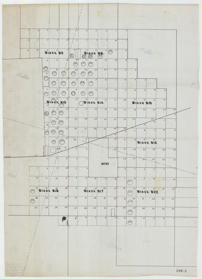
Print $20.00
- Digital $50.00
[PSL Blocks B8-B9, B13-B18 and B22]
Size: 19.8 x 27.2 inches
91963
[Blocks B-27, B-28, B-29, B-19]
Print $20.00
- Digital $50.00
[Blocks B-27, B-28, B-29, B-19]
Size: 31.4 x 22.2 inches
90465
Working Sketch in Crane County

Print $20.00
- Digital $50.00
Working Sketch in Crane County
1929
Size: 29.2 x 34.3 inches
90467
Working Drawing Compiled from Field Notes of the Sand Hills Area - Crane Co. Tex.

Print $20.00
- Digital $50.00
Working Drawing Compiled from Field Notes of the Sand Hills Area - Crane Co. Tex.
Size: 43.5 x 30.8 inches
90461
Ward County Working Sketch 6

Print $20.00
- Digital $50.00
Ward County Working Sketch 6
1945
Size: 23.4 x 24.5 inches
72312
Ward County Working Sketch 54

Print $40.00
- Digital $50.00
Ward County Working Sketch 54
1978
Size: 24.1 x 48.8 inches
72360
Ward County Working Sketch 50

Print $20.00
- Digital $50.00
Ward County Working Sketch 50
1976
Size: 31.1 x 29.1 inches
72356
Ward County Working Sketch 25

Print $40.00
- Digital $50.00
Ward County Working Sketch 25
1957
Size: 74.3 x 25.6 inches
72331
Ward County Sketch File L

Print $20.00
- Digital $50.00
Ward County Sketch File L
Size: 23.8 x 29.6 inches
12601
Ward County Rolled Sketch L-1

Print $20.00
- Digital $50.00
Ward County Rolled Sketch L-1
Size: 24.1 x 43.4 inches
8168
Ward County Rolled Sketch A

Print $40.00
- Digital $50.00
Ward County Rolled Sketch A
Size: 42.6 x 56.3 inches
10099
Ward County Rolled Sketch 4

Print $20.00
- Digital $50.00
Ward County Rolled Sketch 4
Size: 39.3 x 47.2 inches
10102
Ward County Rolled Sketch 22

Print $40.00
- Digital $50.00
Ward County Rolled Sketch 22
1873
Size: 69.2 x 18.0 inches
10110
Ward County Rolled Sketch 20

Print $20.00
- Digital $50.00
Ward County Rolled Sketch 20
1950
Size: 27.4 x 22.7 inches
8162
Ward County Rolled Sketch 19

Print $20.00
- Digital $50.00
Ward County Rolled Sketch 19
1949
Size: 20.5 x 26.7 inches
8161
Ward County Rolled Sketch 16

Print $20.00
- Digital $50.00
Ward County Rolled Sketch 16
1942
Size: 30.5 x 21.7 inches
8159
Ward County Rolled Sketch 1

Print $40.00
- Digital $50.00
Ward County Rolled Sketch 1
1888
Size: 42.6 x 120.4 inches
76165
[Upton County Sketch]
Print $40.00
- Digital $50.00
[Upton County Sketch]
-
Size
19.2 x 60.3 inches
-
Map/Doc
5043
[Upton County Sketch]
Print $40.00
- Digital $50.00
[Upton County Sketch]
-
Size
19.1 x 60.8 inches
-
Map/Doc
76176
[University Land in Loving, Ward, Winkler, Pecos, Crane, Ector, Upton, Crockett, Schleicher, Irion and Reagan Counties]
Print $40.00
- Digital $50.00
[University Land in Loving, Ward, Winkler, Pecos, Crane, Ector, Upton, Crockett, Schleicher, Irion and Reagan Counties]
1938
-
Size
37.9 x 78.5 inches
-
Map/Doc
2424
-
Creation Date
1938
[T. & P. Surveys in Crane, Upton, Coke Counties]
Print $20.00
- Digital $50.00
[T. & P. Surveys in Crane, Upton, Coke Counties]
-
Size
19.2 x 21.2 inches
-
Map/Doc
90464
[T. & P. "B" Blocks, Tsp. 1S, Tsp. 2S, Tsp. 3S. And Tsp. 4S]
Print $40.00
- Digital $50.00
[T. & P. "B" Blocks, Tsp. 1S, Tsp. 2S, Tsp. 3S. And Tsp. 4S]
-
Size
56.1 x 43.3 inches
-
Map/Doc
89774
[South line of Blocks B24, B25, and B26]
Print $2.00
- Digital $50.00
[South line of Blocks B24, B25, and B26]
1936
-
Size
14.6 x 9.0 inches
-
Map/Doc
90463
-
Creation Date
1936
[Sketch showing unsurveyed land in West Texas as of 1902]
Print $20.00
- Digital $50.00
[Sketch showing unsurveyed land in West Texas as of 1902]
-
Size
42.0 x 34.0 inches
-
Map/Doc
89937
[Sketch showing T.&P. "B" Blocks in Tsp. 1S, Tsp. 2S, Tsp. 3S and Tsp. 4S]
Print $40.00
- Digital $50.00
[Sketch showing T.&P. "B" Blocks in Tsp. 1S, Tsp. 2S, Tsp. 3S and Tsp. 4S]
-
Size
49.4 x 42.5 inches
-
Map/Doc
89747
[Sketch showing Blocks B17-B29 and vicinity]
Print $40.00
- Digital $50.00
[Sketch showing Blocks B17-B29 and vicinity]
-
Size
61.8 x 28.6 inches
-
Map/Doc
89732
[Sketch of "B" Blocks]
Print $40.00
- Digital $50.00
[Sketch of "B" Blocks]
-
Size
61.7 x 38.1 inches
-
Map/Doc
89749
[Pencil sketch showing blocks B17, B20-B28 and surrounding]
Print $40.00
- Digital $50.00
[Pencil sketch showing blocks B17, B20-B28 and surrounding]
-
Size
58.5 x 40.0 inches
-
Map/Doc
89734
[Pecos River Bed]
![2467, [Pecos River Bed], General Map Collection](https://historictexasmaps.com/wmedia_w700/maps/2467.tif.jpg)
Print $20.00
- Digital $50.00
[Pecos River Bed]
-
Size
16.6 x 39.8 inches
-
Map/Doc
2467
[Parts of PSL Blocks B18, B19, B28, B20 and B29]
Print $20.00
- Digital $50.00
[Parts of PSL Blocks B18, B19, B28, B20 and B29]
-
Size
21.4 x 28.0 inches
-
Map/Doc
91952
[PSL Blocks B8-B9, B13-B18 and B22]
Print $20.00
- Digital $50.00
[PSL Blocks B8-B9, B13-B18 and B22]
-
Size
19.8 x 27.2 inches
-
Map/Doc
91963
[Blocks B-27, B-28, B-29, B-19]
Print $20.00
- Digital $50.00
[Blocks B-27, B-28, B-29, B-19]
-
Size
31.4 x 22.2 inches
-
Map/Doc
90465
Working Sketch in Crane County
Print $20.00
- Digital $50.00
Working Sketch in Crane County
1929
-
Size
29.2 x 34.3 inches
-
Map/Doc
90467
-
Creation Date
1929
Working Drawing Compiled from Field Notes of the Sand Hills Area - Crane Co. Tex.
Print $20.00
- Digital $50.00
Working Drawing Compiled from Field Notes of the Sand Hills Area - Crane Co. Tex.
-
Size
43.5 x 30.8 inches
-
Map/Doc
90461
Ward County Working Sketch 6
Print $20.00
- Digital $50.00
Ward County Working Sketch 6
1945
-
Size
23.4 x 24.5 inches
-
Map/Doc
72312
-
Creation Date
1945
Ward County Working Sketch 54
Print $40.00
- Digital $50.00
Ward County Working Sketch 54
1978
-
Size
24.1 x 48.8 inches
-
Map/Doc
72360
-
Creation Date
1978
Ward County Working Sketch 50
Print $20.00
- Digital $50.00
Ward County Working Sketch 50
1976
-
Size
31.1 x 29.1 inches
-
Map/Doc
72356
-
Creation Date
1976
Ward County Working Sketch 25
Print $40.00
- Digital $50.00
Ward County Working Sketch 25
1957
-
Size
74.3 x 25.6 inches
-
Map/Doc
72331
-
Creation Date
1957
Ward County Sketch File L
Print $20.00
- Digital $50.00
Ward County Sketch File L
-
Size
23.8 x 29.6 inches
-
Map/Doc
12601
Ward County Rolled Sketch L-1
Print $20.00
- Digital $50.00
Ward County Rolled Sketch L-1
-
Size
24.1 x 43.4 inches
-
Map/Doc
8168
Ward County Rolled Sketch A
Print $40.00
- Digital $50.00
Ward County Rolled Sketch A
-
Size
42.6 x 56.3 inches
-
Map/Doc
10099
Ward County Rolled Sketch 4
Print $20.00
- Digital $50.00
Ward County Rolled Sketch 4
-
Size
39.3 x 47.2 inches
-
Map/Doc
10102
Ward County Rolled Sketch 22
Print $40.00
- Digital $50.00
Ward County Rolled Sketch 22
1873
-
Size
69.2 x 18.0 inches
-
Map/Doc
10110
-
Creation Date
1873
Ward County Rolled Sketch 20
Print $20.00
- Digital $50.00
Ward County Rolled Sketch 20
1950
-
Size
27.4 x 22.7 inches
-
Map/Doc
8162
-
Creation Date
1950
Ward County Rolled Sketch 19
Print $20.00
- Digital $50.00
Ward County Rolled Sketch 19
1949
-
Size
20.5 x 26.7 inches
-
Map/Doc
8161
-
Creation Date
1949
Ward County Rolled Sketch 16
Print $20.00
- Digital $50.00
Ward County Rolled Sketch 16
1942
-
Size
30.5 x 21.7 inches
-
Map/Doc
8159
-
Creation Date
1942
Ward County Rolled Sketch 1
Print $40.00
- Digital $50.00
Ward County Rolled Sketch 1
1888
-
Size
42.6 x 120.4 inches
-
Map/Doc
76165
-
Creation Date
1888